White marlin fishing out of Georgetown happens in Gulf Stream blue water, the same zone boats run for mahi and sailfish. That is the local operator’s description, and it sets the plan: if you already make blue-water runs from Winyah Bay, white marlin share that water and those trips. Pick the days you would run for mahi or sailfish and fish for white marlin on them.
For timing beyond this port, the white marlin species guide covers biology and seasonality, and the Southeast white marlin guide (see also the wider Atlantic Southeast guide) covers the regional Gulf Stream picture.
Where Georgetown boats run
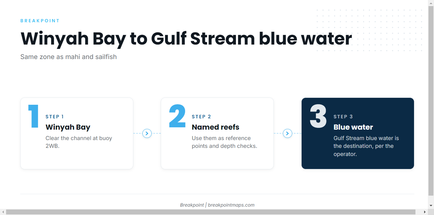
Boats leave through Winyah Bay and run offshore. The Georgetown port guide has ramps, inlet notes and local navigation details, so this page covers only the white marlin side.
The blue-water zone
According to the operator FAQ, Georgetown boats run to Gulf Stream blue water, the same zone as mahi and sailfish. The nearshore reefs in the next section are chart reference points on the way out, not the destination.
If you use Breakpoint, OBS SST and Chlorophyll show where the blue water sits on a given day, and Chart Contours put the listed reefs on your plot. Chart layers are not for navigation.
Reading conditions before the run
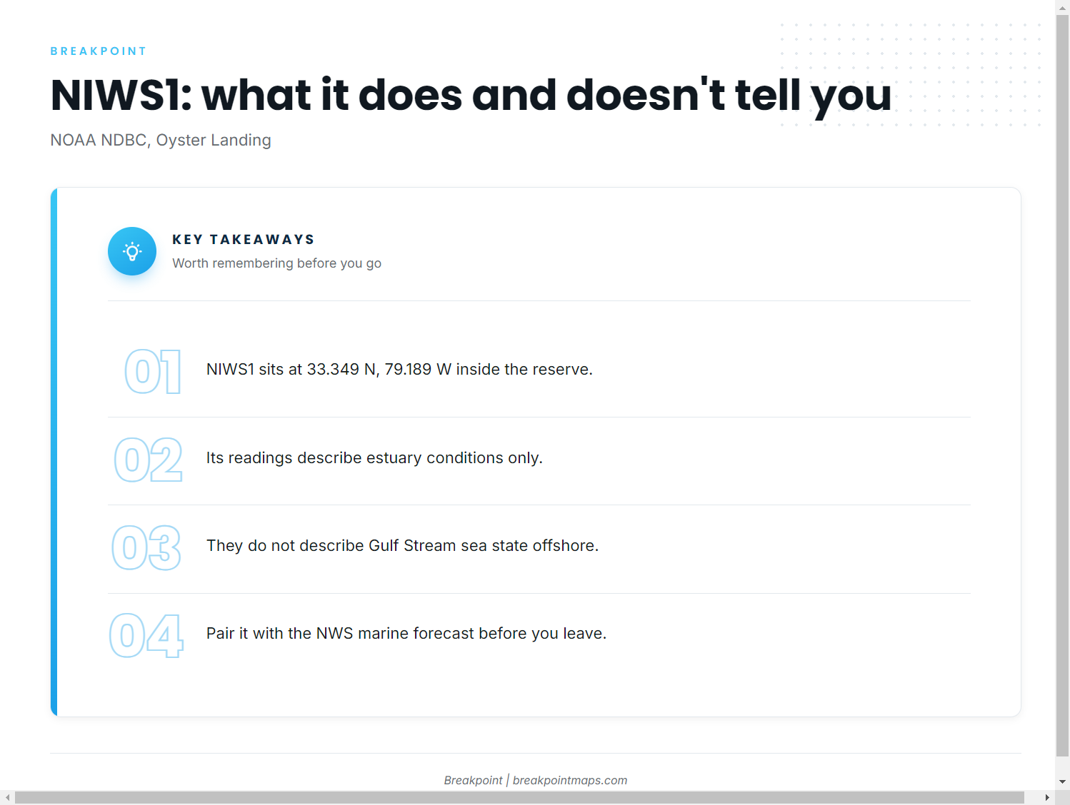
The nearest NOAA buoy is NOAA NDBC station NIWS1 at Oyster Landing, North Inlet-Winyah Bay Reserve (33.349 N, 79.189 W). It sits inside the reserve, so its readings describe estuary conditions rather than Gulf Stream sea state on the offshore run. Check the official NWS marine forecast as well before you leave the dock.
Named structure between Winyah Bay and blue water
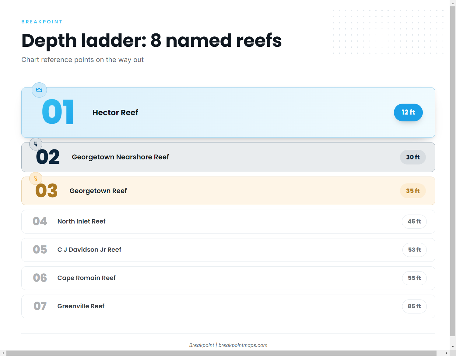
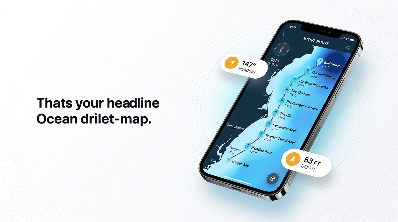
These named reefs sit on the chart between Winyah Bay and the Gulf Stream. Use them as reference points and depth checks on the way out. White marlin are not claimed to hold on them.
| Name | Depth (ft) | Notes |
|---|---|---|
| Hector Reef | 12 | |
| Georgetown Nearshore Reef | 30 | |
| Georgetown Reef | 35 | |
| North Inlet Reef | 45 | |
| C J Davidson Jr Reef | 53 | 147 degrees, 6.5 nm from channel buoy 2WB, one buoy marked |
| Cape Romain Reef | 55 | |
| Greenville Reef | 85 | |
| Vermilion Reef | 110 |
The table works as a depth ladder: compare the depth on your sounder with the listed figures to see which named structure you are passing.
Nearshore reefs
Hector Reef (12 ft), Georgetown Nearshore Reef (30 ft), Georgetown Reef (35 ft), North Inlet Reef (45 ft) and Cape Romain Reef (55 ft) give you five depth checks before the water deepens.
Deeper reefs: Greenville and Vermilion
Greenville Reef is at 85 ft. Vermilion Reef, at 110 ft, is the deepest named structure on the list.
C J Davidson Jr off buoy 2WB
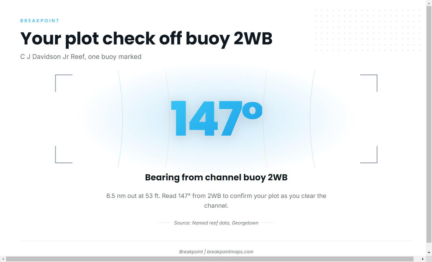
C J Davidson Jr Reef lies 147 degrees and 6.5 nm from channel buoy 2WB, in 53 ft, with one buoy marked. It makes a useful bearing check: if you read 147 degrees from 2WB as you clear the channel, your plot is correct.
How white marlin are fished here
Catch and release
On operator trips out of Georgetown, white marlin are fished catch and release, which is the practice Winyah Adventures follows. Federal rules for billfish apply to every boat, so read the Regulations section below before you go.
Who fishes for them out of Georgetown
Winyah Adventures
Winyah Adventures offshore fishing charters lists white marlin. The captain is Captain Eric, USCG-licensed. A charter is one way to see the run and the release practice from this port before you take your own boat out.
For more on hiring a captain for billfish, see our billfish guides.
FAQ: white marlin fishing out of Georgetown
How far do boats run for white marlin from Georgetown?
Per the operator, boats run to Gulf Stream blue water, the same zone as mahi and sailfish. The named reefs between Winyah Bay and blue water are reference points on the way out. We give no mileage here.
Are white marlin released here?
Yes. White marlin are fished catch and release on operator trips out of Georgetown. For the federal rules that apply to your own boat, see the Regulations section above and the pages it links.
Which buoy covers Georgetown?
NOAA NDBC station NIWS1 at Oyster Landing, North Inlet-Winyah Bay Reserve, at 33.349 N, 79.189 W. It reads reserve and estuary conditions, not offshore sea state, so check the NWS marine forecast too.
What is the bearing to C J Davidson Jr Reef?
C J Davidson Jr Reef lies 147 degrees and 6.5 nm from channel buoy 2WB. It sits in 53 ft with one buoy marked. Use the bearing as a plot check as you clear the channel.
Is there a white marlin charter in Georgetown?
Yes. Winyah Adventures lists white marlin. The captain is Captain Eric, USCG-licensed.