How far boats run for Fourchon tuna
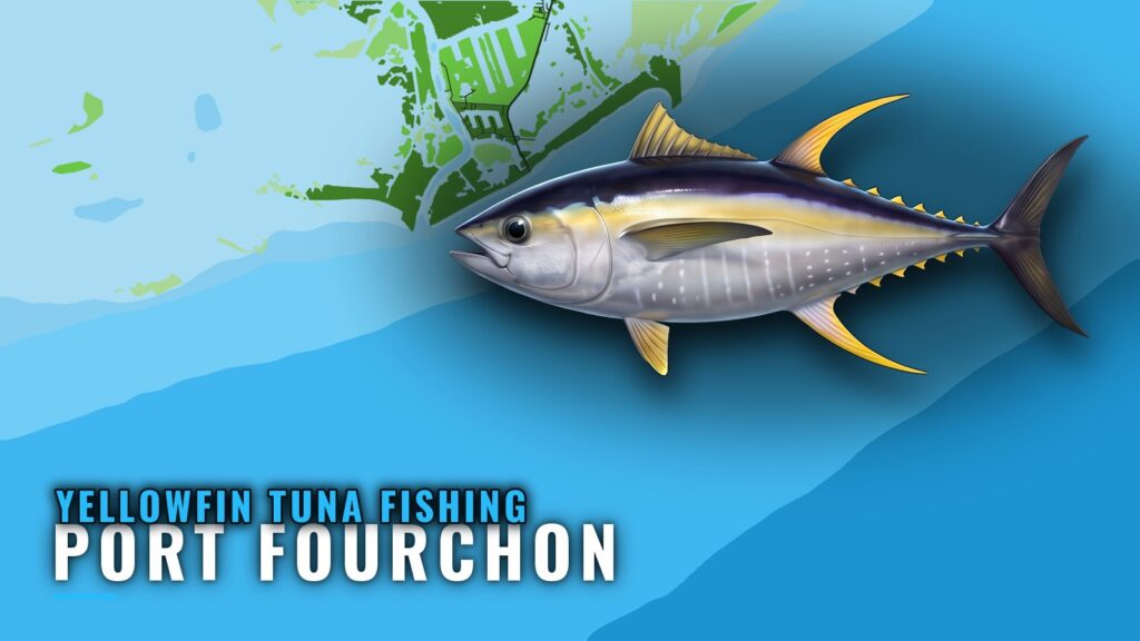
Yellowfin tuna fishing out of Port Fourchon comes down to three questions: how far to run, what to plot, and how to fish it when you get there. For timing and fish behavior, read our yellowfin tuna guide and our page on yellowfin in the Gulf of Mexico (see also the Gulf of Mexico fishing guide). This page covers what is specific to running out of Fourchon: the run distance, one named structure for your plotter, and a method plan.
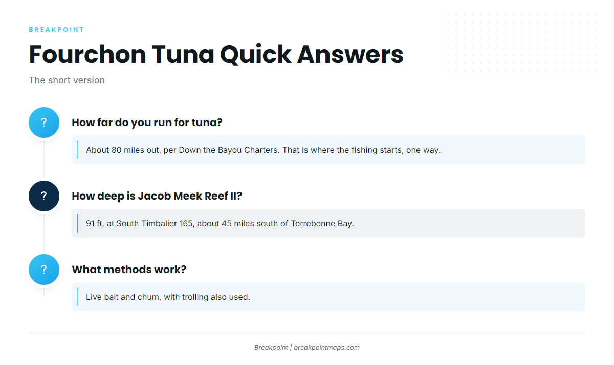
About 80 miles to the tuna
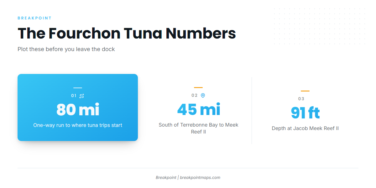
Down the Bayou Charters runs its tuna trips starting about 80 miles out from Fourchon. That figure is where the tuna fishing starts, one way. The run home and any moves between spots come on top of it, so distance sets your fuel, your weather window, and how many spots you can work in a day.
Check the official NOAA marine forecast for wind and wave height before committing to a run this long. No NOAA buoy or tide station has been confirmed for Port Fourchon, so confirm the nearest one before you rely on it.
What "tuna" means on local trips
The operator describes these as tuna trips and does not name the species, and the evidence is thin. When you hook one, check it against the species page before you decide what you have in the boat.
Grounds and structure near Port Fourchon
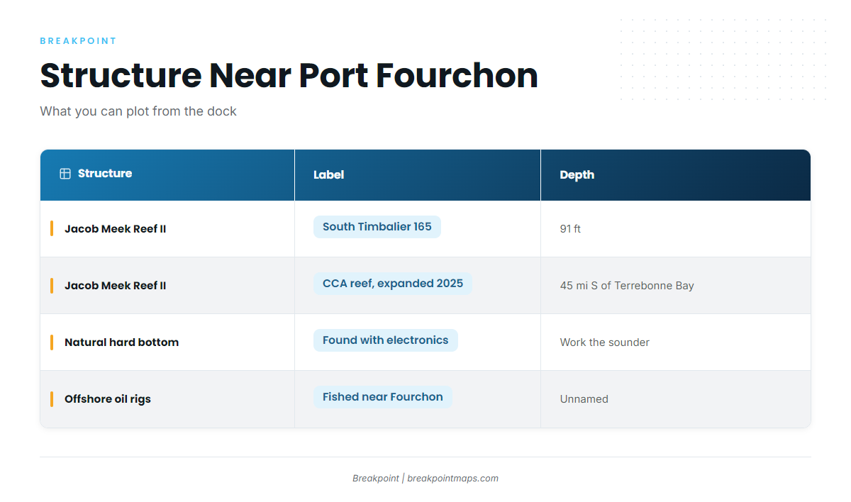
Three kinds of structure are fished from Fourchon, and only one has a published name and position.
| Structure | Location label | Depth | Distance |
|---|---|---|---|
| Jacob Meek Reef II | South Timbalier 165 | 91 ft | about 45 miles south of Terrebonne Bay |
| Natural hard bottom | |||
| Offshore oil rigs |
Chart layers are not for navigation.
Jacob Meek Reef II (South Timbalier 165)
Jacob Meek Reef is a CCA reef. CCA expanded it and renamed it Jacob Meek Reef II, with the work reported in January 2025.
- Location label: South Timbalier 165.
- Depth: 91 ft.
- Position: about 45 miles south of Terrebonne Bay.
"South Timbalier 165" is a lease-block label that appears on offshore charts, so you can put the reef on your plotter before you leave the dock. It works as a reference point and a piece of structure on the way out, well inside the 80-mile tuna run.
Natural hard bottom
Unnamed natural hard bottom is fished from Fourchon and found with electronics. There is no published waypoint to hunt for, so work the sounder.
Offshore oil rigs
Offshore oil rigs are fished in the Fourchon area, according to the captain. The rigs are unnamed, and no distance or depth is given for them.
How tuna are fished out of Fourchon
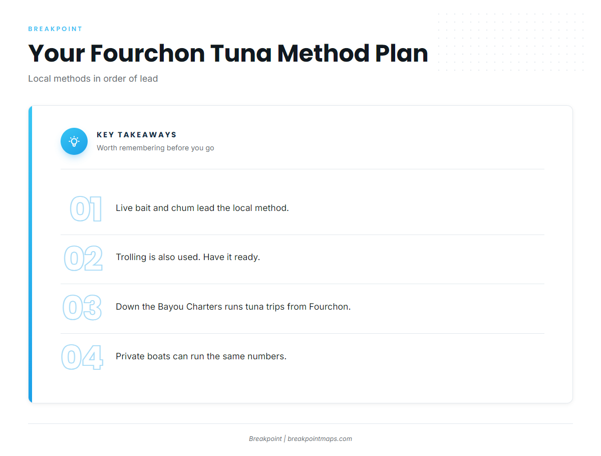
Plan around live bait and chum, and keep a trolling plan ready.
Live bait and chum
Down the Bayou Charters reports live bait and chum as the lead local method. You put bait in the water and keep fish interested while you fish.
Trolling
Trolling is also used, as the second method.
Who fishes tuna from Fourchon
Down the Bayou Charters is a local operator running tuna trips out of Fourchon. If you run your own boat, you work with the same numbers and methods: the 80-mile run, the reef position, the sounder, and live bait and chum with trolling as backup.
FAQ about yellowfin tuna fishing out of Port Fourchon
How far do you run for tuna from Port Fourchon?
About 80 miles out, per Down the Bayou Charters. That is where the tuna fishing starts, and it is a one-way figure. The run back and any moves between spots add to the total.
Are the tuna off Fourchon yellowfin?
The operator describes the trips as tuna trips and does not name the species. Identify what you hook against our tuna guides before you decide what to keep.
How deep is Jacob Meek Reef II, and where is it?
It sits in 91 ft at South Timbalier 165, about 45 miles south of Terrebonne Bay. It is a CCA reef, expanded and renamed in 2025.
What methods work for tuna out of Fourchon?
Live bait and chum, with trolling also used. Down the Bayou Charters reports live bait and chum as the lead local method.
When is the season?
Timing and behavior are covered in our yellowfin tuna guide and our Gulf of Mexico page. This page covers the run, the structure, and the methods from Fourchon.