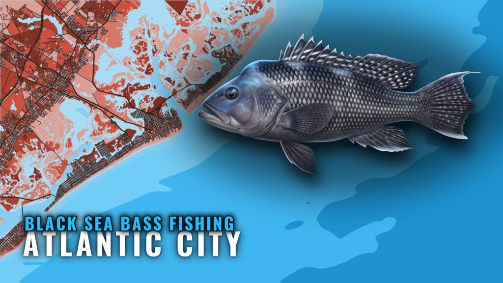
Black sea bass fishing out of Atlantic City centers on ocean wreck and reef trips to the Atlantic City Reef, 12.2 nautical miles east of the city and 8.8 nautical miles from Absecon Inlet. The reef lies in 55 to 95 ft. Below are the run, the depths, eight named sites with GPS, and the two methods used locally, enough to decide whether the trip fits your boat and the day, and which waypoint to plot first. The wider picture is in the black sea bass fishing in the Atlantic Northeast and the Atlantic Northeast region guide.
When black sea bass are around Atlantic City
Seasonal movement is covered in our black sea bass species guide. Timing follows the fish’s movement along the coast rather than anything specific to this port. Open dates are set by the state; the Regulations section below links to the page that carries them.
The run from Absecon Inlet
Boats leave through Absecon Inlet and run offshore to the reef. Ocean wreck and reef trips from the Atlantic City port share the same inlet and the same target.
Distance and depth
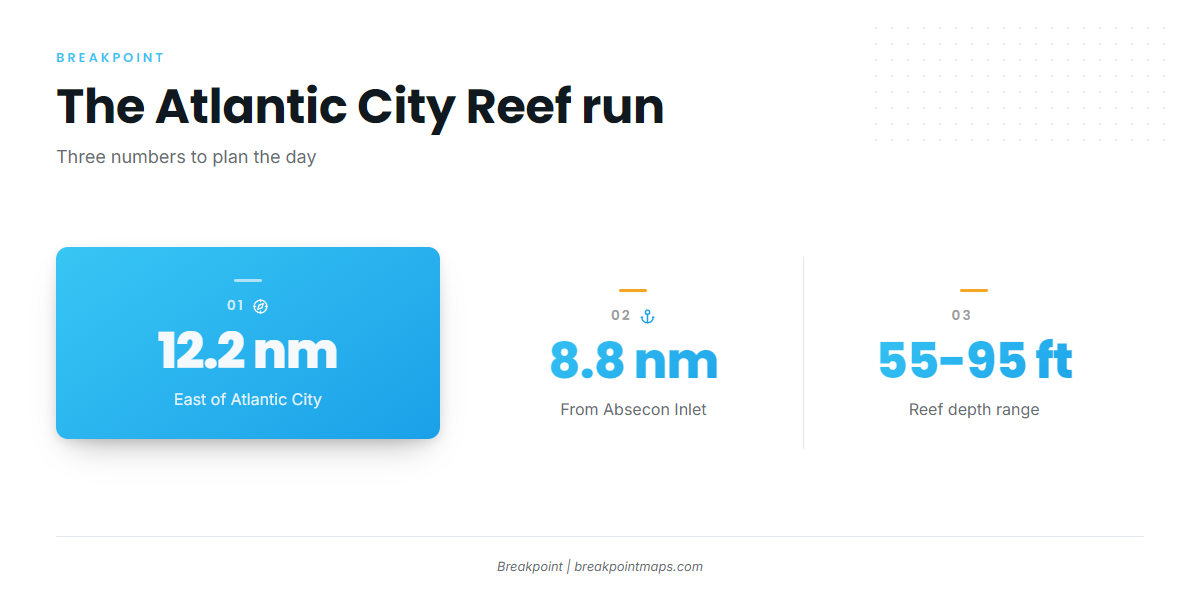
The reef figures are standing facts:
- The Atlantic City Reef sits 12.2 nautical miles east of the city and 8.8 nautical miles from Absecon Inlet.
- It lies in 55 to 95 ft, with 55 ft on the shallow side.
Reading conditions at ACYN4
The nearest NOAA station is ACYN4 (8534720), Atlantic City, NJ, at 39.357 N, 74.418 W. It sits on the coast and does not show conditions on the reef, 8.8 nautical miles out. Read the official NOAA marine forecast before you run, and treat the station as one input among several.
Grounds and structure on the Atlantic City Reef
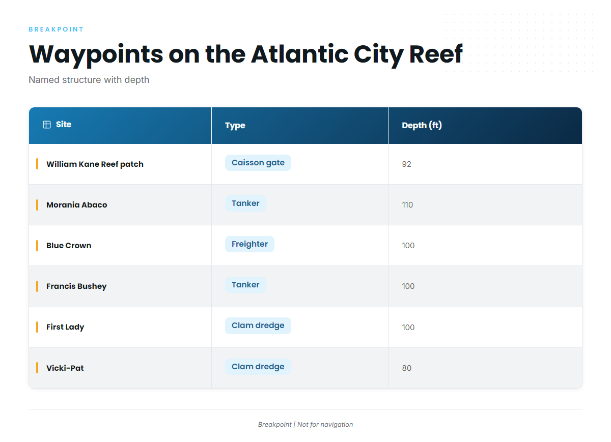
The Atlantic City Reef is a New Jersey artificial reef site. The named wrecks and patches below sit on it, with coordinates listed as published.
| Site | Type | Depth (ft) | Location / GPS |
|---|---|---|---|
| Atlantic City Reef | NJ artificial reef site | 55 | 12.2 nm east of Atlantic City |
| William Kane Reef patch (caisson gate) | Caisson gate, inside the reef | 92 | N39 14.080 W74 12.862 |
| Reina Wreck (tug Tobacco Pointe) | Tug | N39 14.0381 W74 12.5675 | |
| Morania Abaco | Tanker | 110 | 39 14.133 N, 74 12.154 W |
| Blue Crown | Freighter | 100 | 39 14.138 N, 74 12.357 W |
| Francis Bushey | Tanker | 100 | 39 14.203 N, 74 12.148 W |
| First Lady | Clam dredge | 100 | 39 13.703 N, 74 12.486 W |
| Vicki-Pat | Clam dredge | 80 | 39 15.255 N, 74 14.818 W |
Plot these as waypoints. Breakpoint’s Chart Contours show the bottom around them, but chart layers are not for navigation.
How it is fished locally
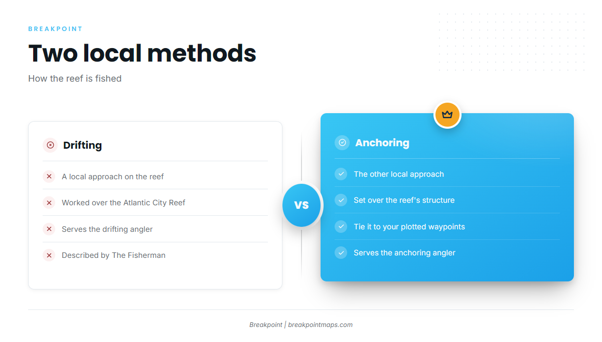
Drifting and anchoring over the reef are the local methods. The Fisherman describes the reef as serving the drifting and anchoring angler. For general technique, see our page on reef and wreck fishing across the region.
Drifting
Drifting covers ground and works the structure as the boat moves.
Anchoring
Anchoring holds you on a fixed spot over the structure, which suits the waypoints in the table above.
Who fishes for them out of Atlantic City
These local charters list black sea bass:
- Tyin’ Knots Charters (tyinknotscharter.com): 31′ Contender center console, twin 300 Suzuki outboards.
- Water Wolves Charters (waterwolvescharters.com): Captain Michael DiCarlo (Captain Mike).
- Jessie James Charters (jessiejamesfishing.com): Captain Mark Schrenk, plus a 16-hour trip boat listed on the site as T.
- Atlantic City Charter Boat: Miss Atlantic City.
FAQ about black sea bass fishing out of Atlantic City
How far is the Atlantic City Reef from Absecon Inlet?
The reef is 8.8 nautical miles from Absecon Inlet and 12.2 nautical miles east of the city. Those two figures define the run for black sea bass fishing out of Atlantic City. The reef lies in 55 to 95 ft.
How deep is the Atlantic City Reef?
The reef lies in 55 to 95 ft. The table above lists each site’s depth, from 80 ft at Vicki-Pat to 110 ft at Morania Abaco. Use the site depths when you pick a waypoint.
Which wrecks on the Atlantic City Reef have GPS coordinates?
Seven named sites carry coordinates: the William Kane Reef patch (caisson gate), Reina Wreck (tug Tobacco Pointe), Morania Abaco, Blue Crown, Francis Bushey, First Lady and Vicki-Pat. All are in the table. Chart layers are not for navigation.
Do anglers drift or anchor on the Atlantic City Reef?
Both. Drifting and anchoring over the reef are the local methods, and The Fisherman describes the reef as serving the drifting and anchoring angler. For the species and its movement, see our black sea bass species guide.
What is the nearest NOAA station to Atlantic City?
It is ACYN4 (8534720), at 39.357 N, 74.418 W. It reads conditions on the coast, not on the reef. Check the official NOAA forecast before you run.