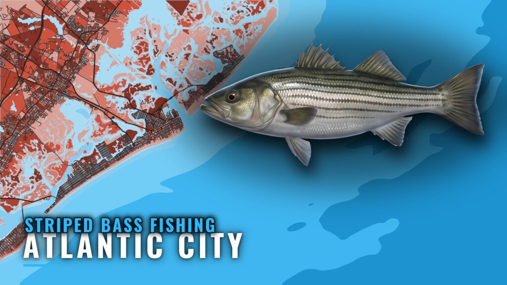
Striped bass fishing out of Atlantic City splits between the back bays behind the city and the Atlantic City Reef offshore. The reef is an NJ artificial reef site at 55 ft, 12.2 nautical miles east of Atlantic City. This guide covers this one port: where boats run, the named structure with positions, the station to read, and who fishes here. For live conditions and charts, see Atlantic City port conditions and charts.
It includes waypoints for 7 reef structures, the named back-bay grounds, and the local charters that list striped bass. It won’t tell you where the fish are on a given day, only where to look. Read conditions at NOAA station ACYN4 before you leave the dock.
Where boats run out of Atlantic City
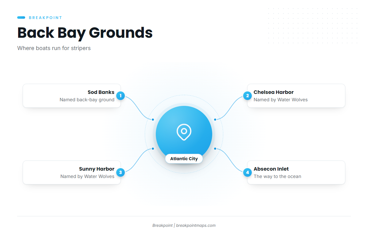
Boats work the back bays behind Atlantic City, including the Sod Banks. Absecon Inlet is the way out to the ocean grounds. Inshore and offshore runs start from the same port, so one trip can be planned around either.
For how striped bass move through the year and how they are fished, see our striped bass fishing guide. For the coastwide picture between North Carolina and Maine, use the Atlantic Northeast striped bass guide (see also the Atlantic Northeast fishing guide).
The grounds in this port at a glance:
- Back bays behind Atlantic City: the inshore grounds, including the Sod Banks, Chelsea Harbor and Sunny Harbor.
- Atlantic City Reef: the offshore ground, 12.2 nautical miles east of Atlantic City.
- Absecon Inlet: the route between the two.
Sod Banks
The Sod Banks are a named back-bay ground behind Atlantic City where boats run for stripers.
Chelsea Harbor and Sunny Harbor
Water Wolves also names Chelsea Harbor and Sunny Harbor. Plot both against your own chart before running unfamiliar water.
Atlantic City Reef and its wrecks
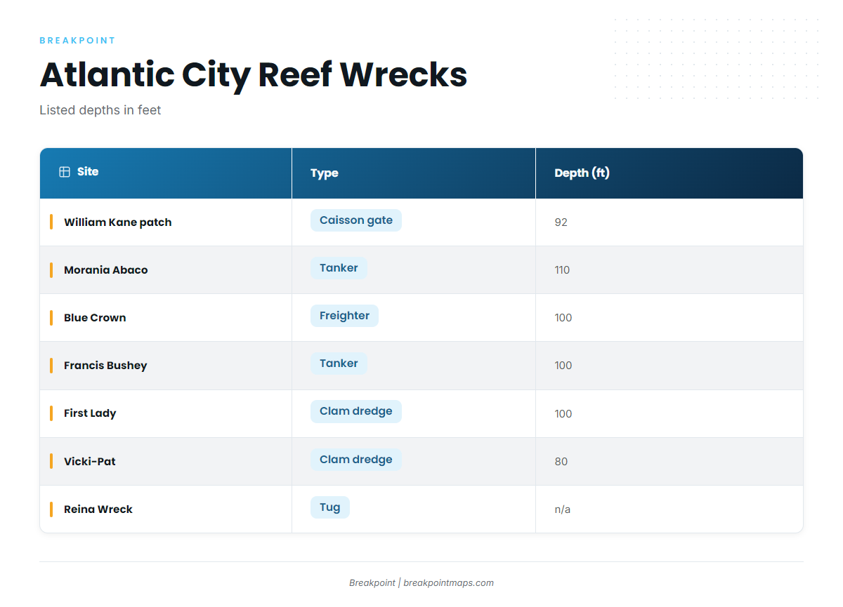
The Atlantic City Reef is an NJ artificial reef site, 55 ft, 12.2 nautical miles east of Atlantic City. Seven named structures sit on and around it, with listed depths on the individual wrecks running from 80 to 110 ft, as published.
Positions on the reef
| Site | Type | Listed depth (ft) | Latitude | Longitude |
|---|---|---|---|---|
| William Kane Reef patch | caisson gate | 92 | 39 14.080 N | 74 12.862 W |
| Reina Wreck (tug Tobacco Pointe) | tug | – | 39 14.0381 N | 74 12.5675 W |
| Morania Abaco | tanker | 110 | 39 14.133 N | 74 12.154 W |
| Blue Crown | freighter | 100 | 39 14.138 N | 74 12.357 W |
| Francis Bushey | tanker | 100 | 39 14.203 N | 74 12.148 W |
| First Lady | clam dredge | 100 | 39 13.703 N | 74 12.486 W |
| Vicki-Pat | clam dredge | 80 | 39 15.255 N | 74 14.818 W |
Swipe the table sideways to see every column.
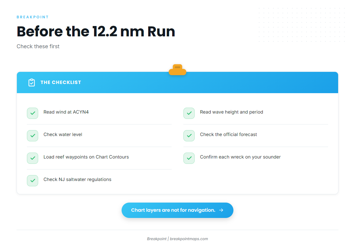
Positions are listed as published. Confirm each wreck on your own sounder before setting up on it. You can load these as waypoints in Breakpoint and check them against Chart Contours. Chart layers are not for navigation.
William Kane Reef patch
A caisson gate structure inside the Atlantic City Reef, listed at 92 ft.
Reina Wreck
This is the tug Tobacco Pointe on the Atlantic City Reef, known as the tug renamed Reina Wreck.
The ships and dredges
Two tankers, Morania Abaco (110 ft) and Francis Bushey (100 ft), sit on the reef along with the freighter Blue Crown (100 ft). The clam dredges are First Lady (100 ft) and Vicki-Pat (80 ft). Cross-check each against the published Atlantic City Reef positions before loading it.
Reading conditions at ACYN4
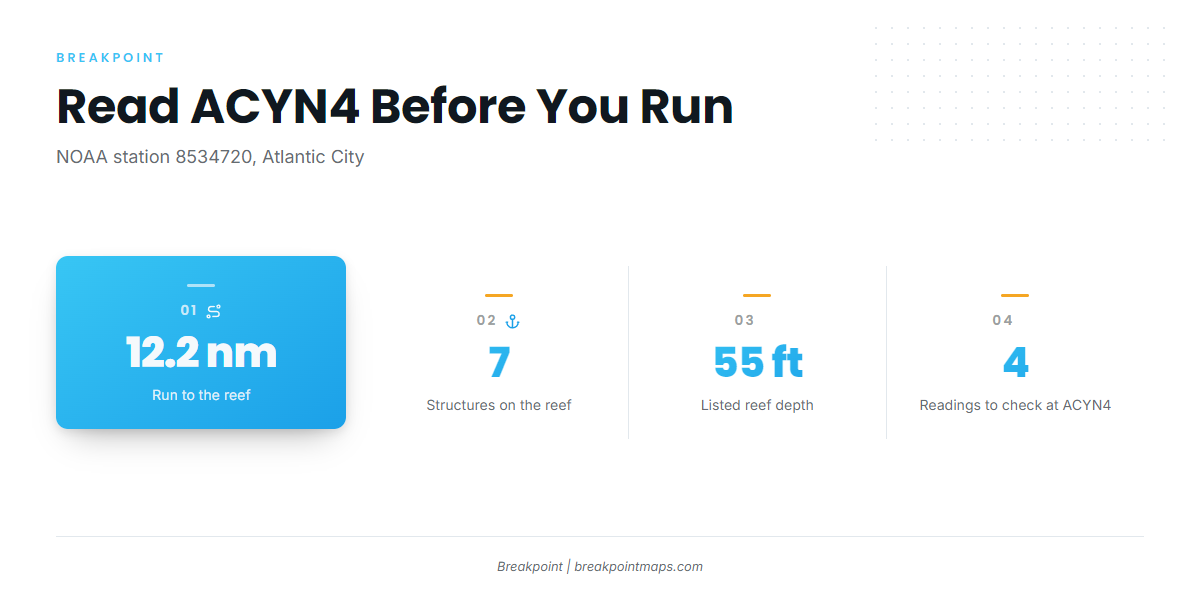
NOAA station ACYN4 (8534720) is at Atlantic City, NJ, 39.357 N, 74.418 W. Read wind, wave height, period and water level there, alongside the official forecast, before the 12.2 nautical mile run.
How the fishery runs here
Local operators offer 4-hour half-day trips, the standard local format out of Atlantic City. Technique is covered in the striped bass fishing guide linked above. The number to plan around here is trip length. Four hours is a short window, so have your waypoints loaded and your conditions checked before you cast off.
- Format: 4-hour half-day trip.
- Inshore ground: back bays, including the Sod Banks.
- Offshore ground: Atlantic City Reef, 12.2 nautical miles east.
Who fishes striped bass out of Atlantic City
These Atlantic City striped bass charter operators list striped bass.
Tyin’ Knots Charters
tyinknotscharter.com. Runs a 31′ Contender center console with twin 300 Suzuki outboards.
Water Wolves Charters
Captain Michael DiCarlo (Captain Mike). See Water Wolves Charters striper trips at waterwolvescharters.com.
Jessie James Charters
Captain Mark Schrenk. The site lists a 16-hour trip boat, "T." See Jessie James Charters in Atlantic City at jessiejamesfishing.com.
Miss Atlantic City
Listed as Atlantic City Charter Boat (Miss Atlantic City).
FAQ
How far is the Atlantic City Reef from port?
The Atlantic City Reef is 12.2 nautical miles east of Atlantic City. It is an NJ artificial reef site listed at 55 ft. Check wind, wave height, period and water level at ACYN4 and the official forecast before you run.
What wrecks are on the Atlantic City Reef?
Seven structures are listed: William Kane Reef patch (caisson gate, 92 ft), Reina Wreck (tug, no listed depth), Morania Abaco (tanker, 110 ft), Blue Crown (freighter, 100 ft), Francis Bushey (tanker, 100 ft), First Lady (clam dredge, 100 ft) and Vicki-Pat (clam dredge, 80 ft). Positions are published. Confirm each on your sounder.
Where do boats fish stripers in the back bays for striped bass fishing out of Atlantic City?
Boats work the back bays behind Atlantic City, including the Sod Banks. Water Wolves also names Chelsea Harbor and Sunny Harbor. Plot these on your own chart before you run unfamiliar water.
Which station gives conditions for Atlantic City?
NOAA station ACYN4 (8534720) at Atlantic City, NJ, 39.357 N, 74.418 W. Read wind, wave height, period and water level there, and compare them with the official forecast before leaving the dock.
How long are local charter trips, and what else do they fish?
Operators offer 4-hour half-day trips, and one operator lists a 16-hour trip boat. For the other species these grounds and boats cover, see our coastal and offshore gamefish guides.