When black sea bass are in Boston Harbor and how far boats run
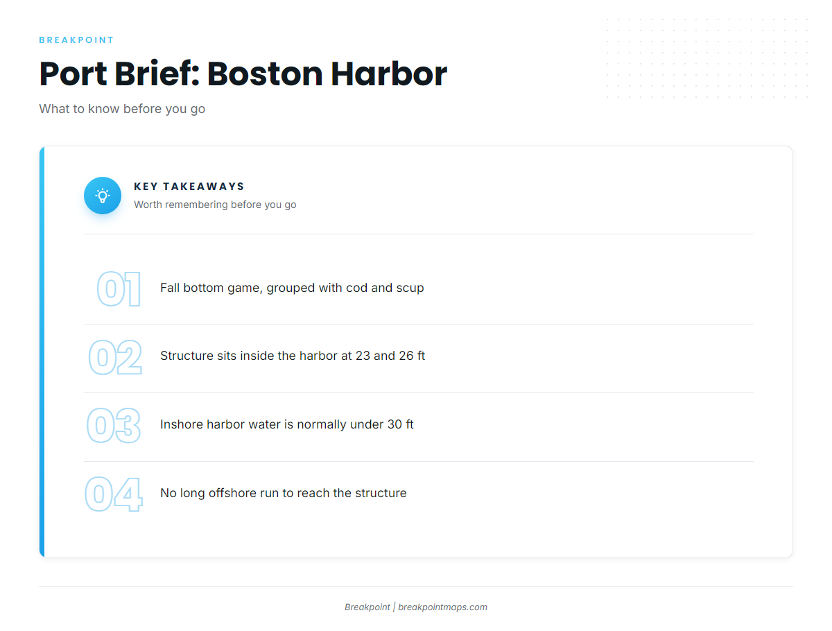
Fall is the window for black sea bass in Boston Harbor, and the fishing stays inshore. Plan the day around the water and conditions of Boston Harbor and the other species you are likely to catch along with them. For the wider coast, see the black sea bass fishing in the Atlantic Northeast and the wider Atlantic Northeast guide.
Fall, with cod and scup
Blueline’s FAQ groups black sea bass with cod and scup as fall bottom species, so a sea bass day is a mixed bottom day. Rig for more than one species.
Inshore harbor water under 30 ft
Boston Fish Charters describes its harbor water as normally under 30 ft deep. The listed structure sits inside the harbor, so no long offshore run is needed. The outer harbor and the banks lie beyond it.
Grounds and structure that hold black sea bass
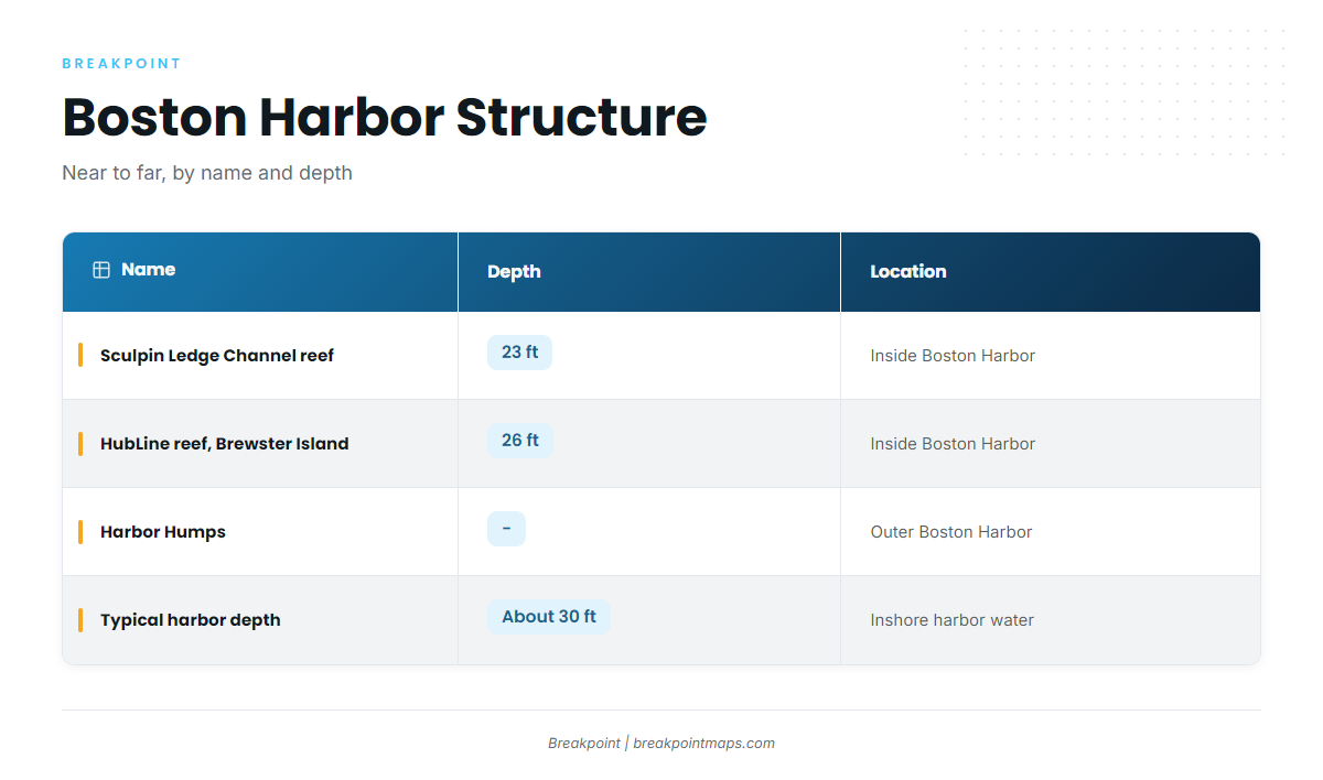
Work the structure from inside the harbor to the outer harbor, then out to the named grounds off Boston.
| Name | Depth | Location |
|---|---|---|
| Sculpin Ledge Channel artificial reef | 23 ft | Inside Boston Harbor |
| HubLine Boston Harbor artificial reef (Brewster Island) | 26 ft | Inside Boston Harbor |
| Harbor Humps | Outer Boston Harbor |
Sculpin Ledge Channel artificial reef (23 ft)
Sculpin Ledge Channel artificial reef sits inside Boston Harbor in 23 ft, the shallowest of the named reefs on this list.
HubLine reef at Brewster Island (26 ft)
The HubLine Boston Harbor artificial reef sits off Brewster Island inside Boston Harbor in 26 ft. For more on fishing artificial reefs and hard structure, see the reef fish guides.
Chart Contours shows the bottom around Sculpin Ledge Channel and Brewster Island. Chart layers are not for navigation.
Harbor Humps
Harbor Humps lie in the outer Boston Harbor, the next step out from the inside reefs.
Outer grounds named off Boston
These are named grounds in the area:
- Stellwagen Bank
- Middle Bank
- Jeffreys Ledge
- Tillies Bank
- B Buoy
Jeffreys Ledge, Tillies Bank and Middle Bank are named as bluefin grounds.
How black sea bass are fished from Boston Harbor
Boston Fish Charters lists black sea bass as a possible catch on its harbor trips. The fishing happens on bottom structure in about 30 ft, over the reefs and humps above.
For rigs and technique, see the black sea bass tactics and biology page.
Who fishes for them out of Boston
Boston Fish Charters harbor trips run aboard the Gina Marie, a 24-ft Ros by Coastal Boat Works. The operator lists black sea bass as a possible catch.
Owner-operators fish the same inshore harbor structure on their own boats, and the reefs above are the places to start.
Reading conditions at NDBC 44013
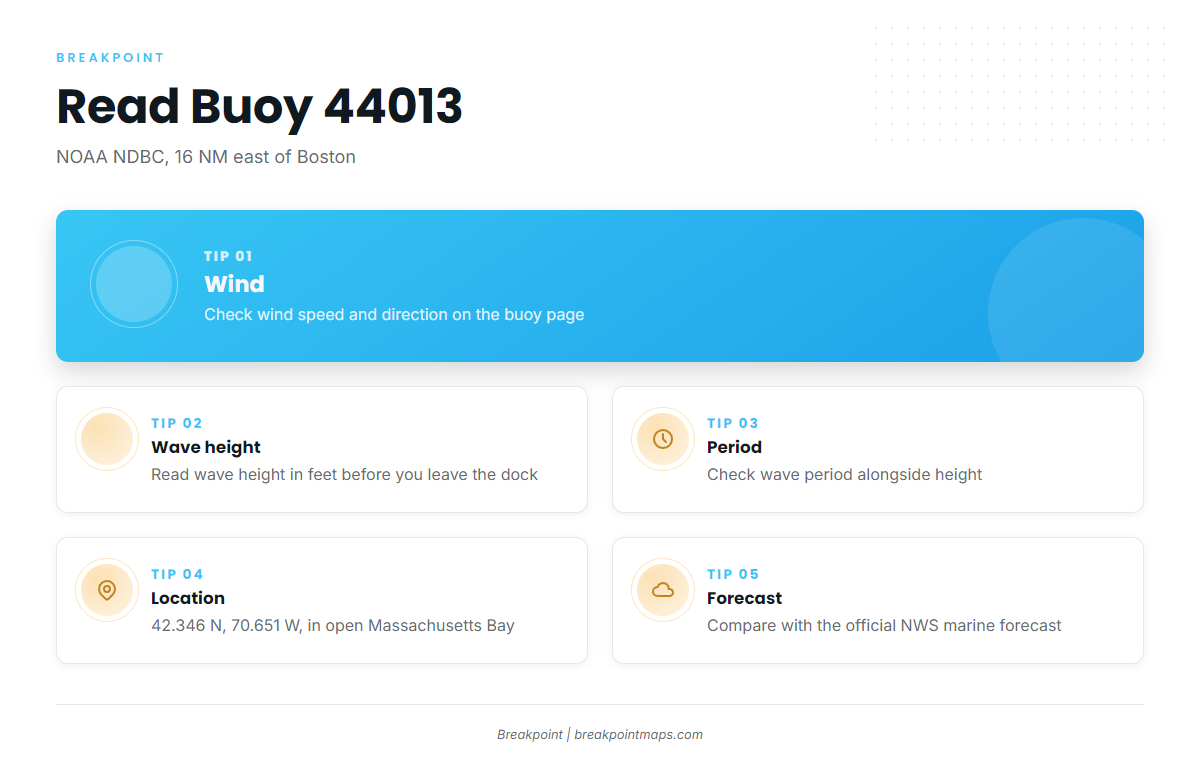
The nearest NOAA buoy is NOAA NDBC station 44013, Boston, 16 NM east of Boston at 42.346 N, 70.651 W. Check wind, wave height and period at NDBC station 44013 readings.
The station sits outside the harbor and reads open Massachusetts Bay water, so it does not reflect conditions at the harbor reefs. Pair it with the official NWS marine forecast before you leave the dock.
FAQ about black sea bass fishing out of Boston Harbor
Can you catch black sea bass in Boston Harbor?
Yes. Boston Fish Charters lists them as a possible catch on harbor trips. The named structure sits inside the harbor at 23 and 26 ft.
When are black sea bass in Boston Harbor?
Fall. Blueline’s FAQ groups them with cod and scup as fall bottom species.
How deep is the structure?
Sculpin Ledge Channel reef sits at 23 ft and the HubLine reef at Brewster Island at 26 ft. Typical depth is about 30 ft.
Do I need to run offshore?
No. The listed structure is in inshore harbor water normally under 30 ft. The banks off Boston are named grounds, and several are named as bluefin grounds.
Which buoy should I check?
NDBC 44013, 16 NM east of Boston, for wind, wave height and period. It reads open bay water, not the harbor reefs.
Where are the rules?
The Massachusetts Division of Marine Fisheries sets them, and the state regulations page points to them. Check it before fishing, and check federal rules if your boat leaves state waters.