Where black sea bass fishing out of Darien runs
Reel Busy’s species calendar rates black sea bass "Excellent Odds" for October, so black sea bass fishing out of Darien is a fall job. Boats leave Darien and reach the ocean through Doboy Sound; the Darien port page covers the exit and the run out. For the wider coast, see the black sea bass fishing in the Atlantic Southeast and the wider Atlantic Southeast guide.
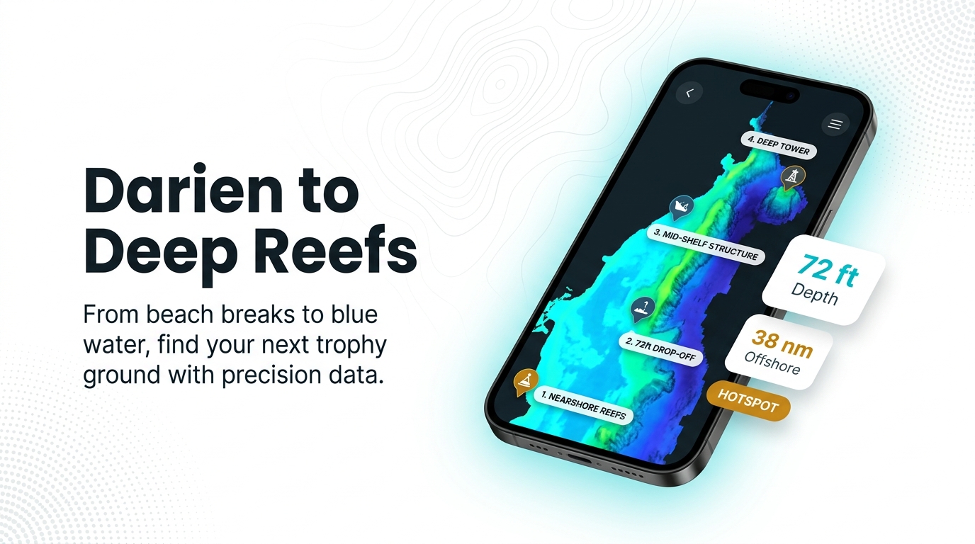
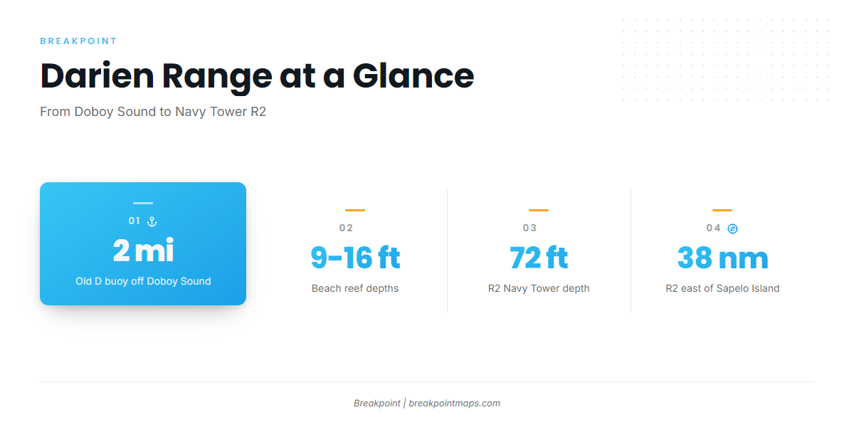
The grounds stretch from the Old D buoy, about 2 miles off the Doboy Sound entrance, to Navy Tower R2. The Georgia DNR reef booklet places Navy Tower R2 38 nautical miles east of Sapelo Island. Depth increases with distance: the beach reefs sit in 9 to 16 ft, and the far grounds sit near 70 to 72 ft.
| Range | Reference point | Depth (ft) |
|---|---|---|
| Short run | Old D buoy, about 2 miles off the Doboy Sound entrance | not listed |
| Mid run | KTK reef, 7 nautical miles east of Blackbeard Island | 35-45 |
| Long run | Navy Tower R2, 38 nautical miles east of Sapelo Island | 72 |
Grounds and structure off Doboy Sound and Sapelo
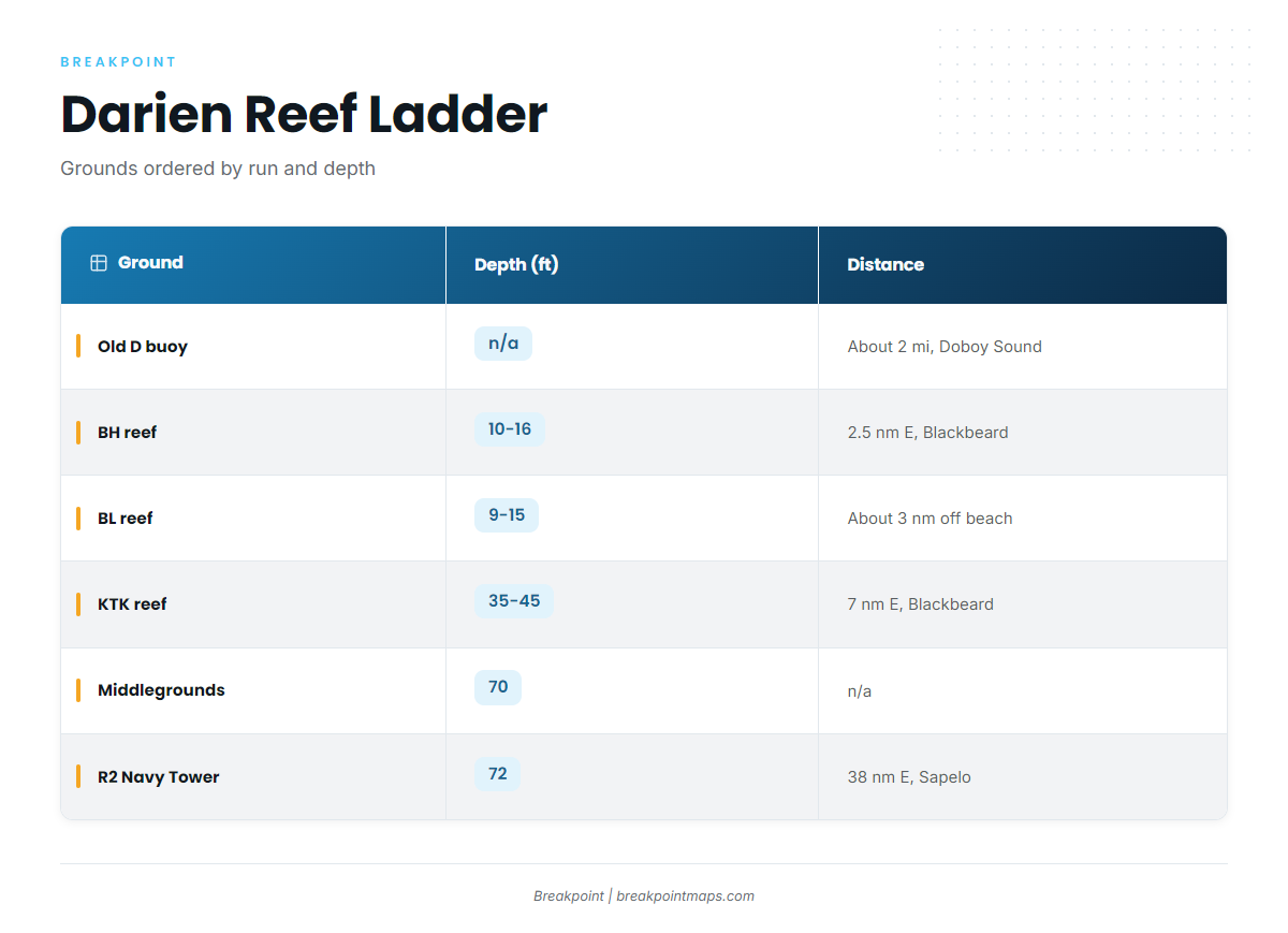
The grounds below are ordered from the shortest trip to the longest and from the shallowest bottom to the deepest. For the wider regional picture of reef fish, see our reef fish guides.
| Ground | Type | Depth (ft) | Distance and reference |
|---|---|---|---|
| Old D buoy | buoy | about 2 miles offshore, Doboy Sound entrance | |
| BH reef | beach reef | 10-16 | 2.5 nm east of Blackbeard Island |
| BL reef | beach reef | 9-15 | about 3 nm off the beach |
| KTK reef | offshore artificial reef | 35-45 | 7 nm east of Blackbeard Island |
| J reef (JY) | reef | ||
| Gray’s Reef National Marine Sanctuary | sanctuary | ||
| Middlegrounds | 70-foot spot | 70 | |
| R2 Navy Tower | tower | 72 | 38 nm east of Sapelo Island |
Beach reefs
The Old D buoy is the closest named structure to Doboy Sound, about 2 miles offshore at the sound’s entrance, which makes it the shortest run on the list. BH reef holds 10 to 16 ft, 2.5 nautical miles east of Blackbeard Island. BL reef holds 9 to 15 ft, about 3 nautical miles off the beach.
KTK reef
KTK is an offshore artificial reef in 35 to 45 ft, 7 nautical miles east of Blackbeard Island. It sits between the beach reefs and the deep grounds.
Other named grounds
J reef (JY) is another named reef in the local mix. Gray’s Reef National Marine Sanctuary is the other named ground on the list.
Deep grounds: Middlegrounds and R2
The Middlegrounds is a 70 ft spot. R2 Navy Tower sits in 72 ft, 38 nautical miles east of Sapelo Island. These are the deepest water on this list.
Before the run, check conditions at NDBC 41008 Gray’s Reef (31.400N 80.866W), which NOAA describes as 40 NM southeast of Savannah. Read wind, wave height and period there, then read the official marine forecast.
How it’s fished and who fishes it
Method
Local anglers bottom fish around reef structure. For tackle and species behavior, see the black sea bass guide.
Charters that list black sea bass
Two local charters list black sea bass:
- Reel Busy Shark Charter, run by Captain Billy Stafford, lists black sea bass as a target fish.
- Coastal Ga Fishing lists black sea bass among its species.
FAQ
How far do Darien boats run for black sea bass?
From the Old D buoy, about 2 miles off the Doboy Sound entrance, to Navy Tower R2, 38 nm east of Sapelo Island.
What depth is R2?
R2 sits in about 72 ft. The Middlegrounds spot is 70 ft.
What is the closest structure to Doboy Sound?
The Old D buoy, about 2 miles offshore at the entrance. After that comes BH reef, 10 to 16 ft and 2.5 nm east of Blackbeard Island.
Which buoy should I check?
NDBC 41008 Gray’s Reef. Read wind, wave height and period there, along with the official marine forecast.
Which charters target black sea bass?
Reel Busy Shark Charter (Captain Billy Stafford) and Coastal Ga Fishing both list black sea bass.