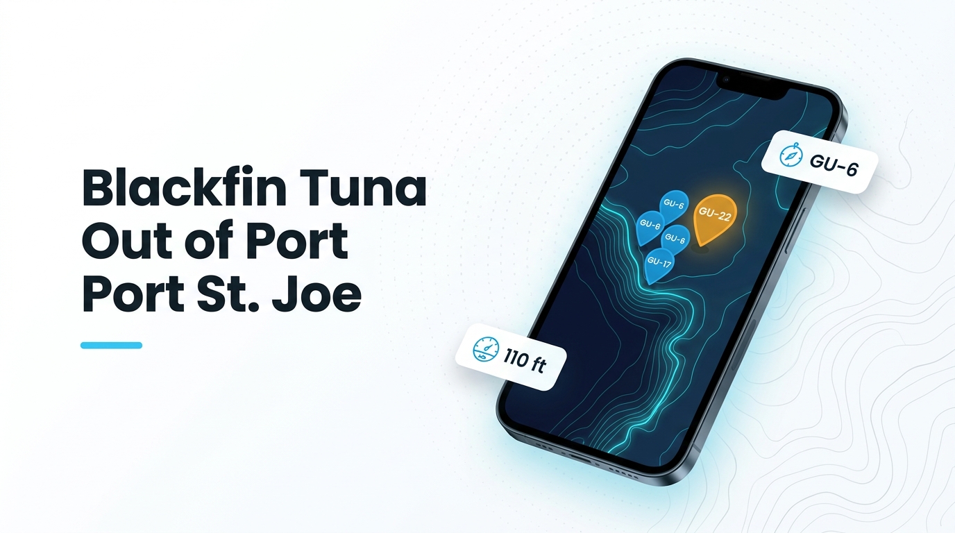
Blackfin tuna fishing out of Port St. Joe centers on deeper water, steep drop-offs and numbered artificial structure south of Cape San Blas. This guide covers when the fish are around, where boats run, which structure to work and how it is fished. Launch, channel and conditions detail live on the Port St. Joe port page. What follows is named structure, numbers and method notes so you can judge the run against your boat and your fuel.
When blackfin tuna are off Port St. Joe
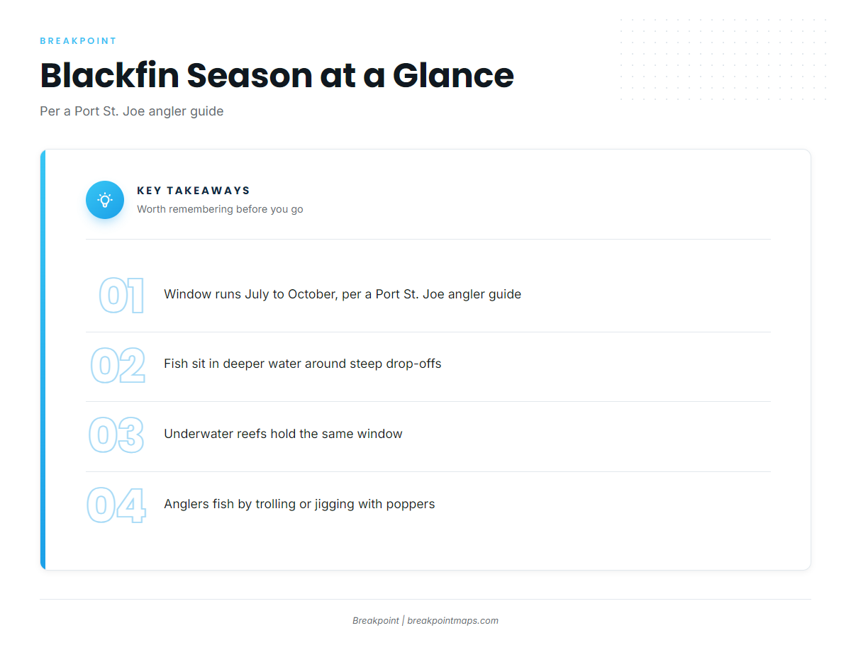
A Port St. Joe angler guide gives the blackfin window as July to October. It places the fish in deeper water around steep drop-offs and underwater reefs, which is where the rest of this page sends you.
- Window: July to October, per a Port St. Joe angler guide
- Target water: deeper water around steep drop-offs and underwater reefs
- Methods: trolling, and jigging with poppers or jigs
The species guide covers how blackfin move and feed.
Where boats run
Boats run to deeper water around steep drop-offs and underwater reefs. The farthest named structure with a published distance is Empire Mica, 21 miles due south of Cape San Blas. That distance is measured from the cape rather than the dock, so add your own run from the ramp to the cape.
The structure off this port carries Gulf County artificial reef numbers, written GU-. This page uses those numbers as labels from here on.
Chart Contours shows where the bottom steepens around the structure. Chart layers are not for navigation.
Use two sources for conditions, each for a different job:
- Tide: NOAA tide station 8728912 (Port Saint Joe) gives tide for planning.
- Sea state: a tide station reports tide, not offshore conditions. Read wind, wave height and period from the official marine forecast.
The Gulf guide (see also the Gulf of Mexico fishing guide) covers blackfin water beyond Cape San Blas.
Grounds and structure
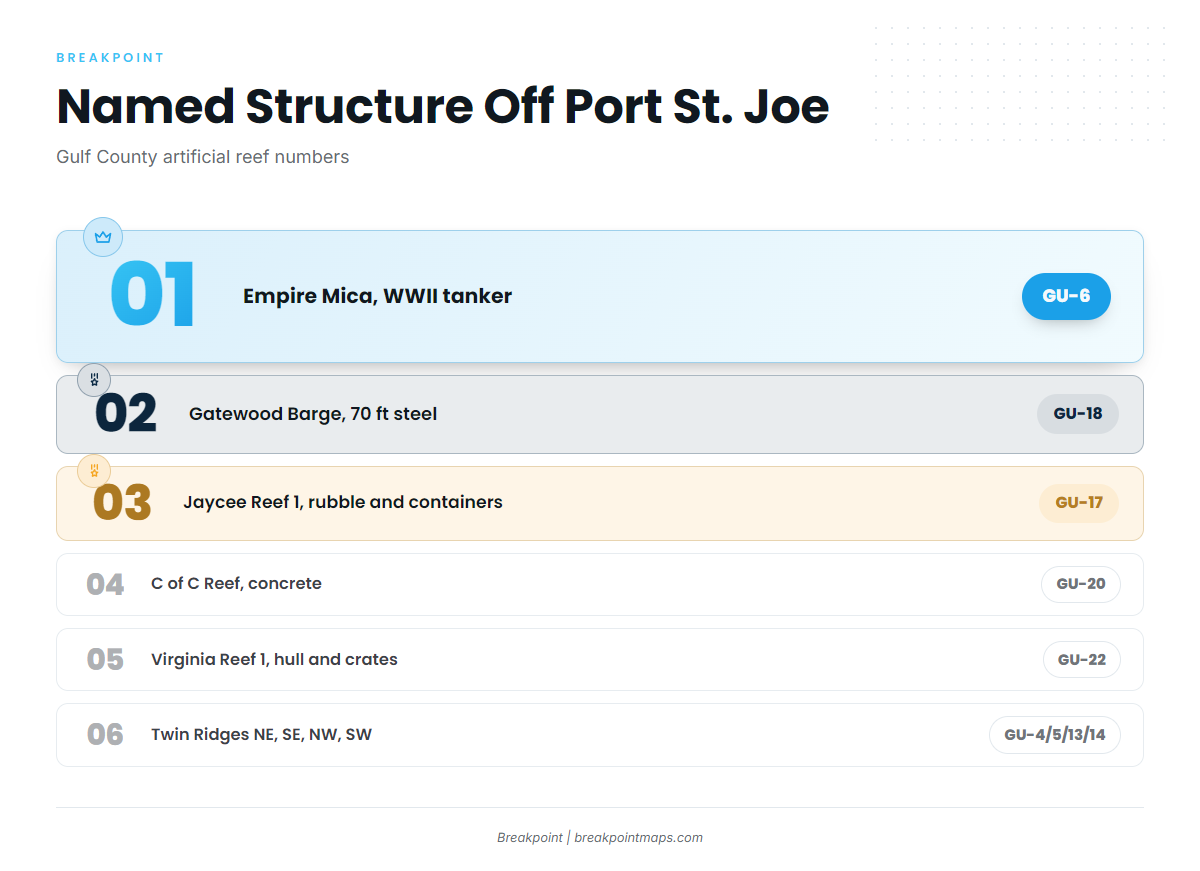
The named structure here runs from one deep wreck to a cluster of deep reefs and several smaller artificial reefs. Check the numbers against each site on the Gulf County artificial reef list.
Empire Mica (GU-6)
Empire Mica is GU-6, a WWII British tanker lying in 110 ft, 21 miles due south of Cape San Blas. The mileage is measured from the cape. A large wreck in that depth suits vertical jigging over the structure.
Twin Ridges (GU-4, GU-5, GU-13, GU-14)
Twin Ridges has northeast, southeast, northwest and southwest sites, listed as northeast Gulf deep water reefs. Because the sites sit close together, you can work several marks on one trip. Anglers troll passes along the edges or jig over the marks.
Gatewood Barge (GU-18)
Gatewood Barge is GU-18, a steel barge 70 ft long. The 70 ft is the barge’s length, not the water depth. It is a compact, defined target, which suits jigging directly over it.
Jaycee Reef 1 (GU-17)
Jaycee Reef 1 is GU-17, built from concrete rubble and steel containers. The rubble is spread across the bottom, which suits trolling passes along the edges.
C of C Reef (GU-20)
C of C Reef is GU-20, made of concrete rubble and prefabricated concrete. Anglers work its edges with trolling passes, the same approach used at Jaycee Reef 1.
Virginia Reef 1 (GU-22)
Virginia Reef 1 is GU-22, with a boat hull, metal crates and concrete rubble. The mix gives you a vertical target and edges, so anglers jig the hull and troll the spread.
Pompano Point (GU-15) and LST Port St Joe (GU-21)
Pompano Point is GU-15. LST Port St Joe is GU-21.
How blackfin are fished here
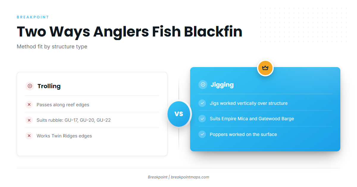
Local methods are trolling, and jigging with poppers or jigs. Anglers match the method to the structure. The tuna guides cover tackle and technique across species.
Trolling
Anglers troll passes along reef edges and drop-offs. That fits the rubble reefs (GU-17, GU-20, GU-22) and the Twin Ridges sites.
Jigging with poppers or jigs
Jigs are worked vertically over defined structure such as Empire Mica, Gatewood Barge and the Virginia Reef 1 hull. Poppers are worked on the surface.
Who fishes for them
This guide is written for anglers running their own boat out of this port.
FAQ about blackfin tuna fishing out of Port St. Joe
When is blackfin tuna season off Port St. Joe?
July to October, per a Port St. Joe angler guide. That is the window for blackfin tuna fishing out of Port St. Joe.
How far is the Empire Mica wreck?
Empire Mica (GU-6) is 21 miles due south of Cape San Blas, in 110 ft. The distance is measured from the cape rather than the dock.
What methods do anglers use?
Trolling, and jigging with poppers or jigs, around steep drop-offs and reefs.
Where do I check tides?
NOAA tide station 8728912 (Port Saint Joe). It gives tide only. Offshore sea state comes from the official marine forecast.
What rules apply?
FWC state rules and federal Atlantic tunas rules. Check both before fishing.