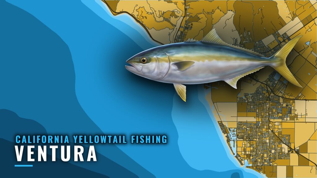
When yellowtail are around Ventura
California yellowtail fishing out of Ventura runs spring to fall, per Visit Ventura, and it happens at the islands. Ventura Harbor is the port the island runs leave from.
Boats work two main runs: all around Anacapa Island, and the Santa Cruz Island kelp and hard bottom from San Pedro Point through Yellowbanks to the Gull Island closure. The species guide carries the general picture on biology and behavior, so this page covers the port: the named grounds, how they are fished from here, and who fishes them.
Where boats run from Ventura Harbor
Boats cross to Anacapa first, then extend to Santa Cruz, then reach the west end of Santa Cruz and the northeast and north sides of Santa Rosa. The same grounds sit inside the northern Channel Islands in the regional picture (see also the Pacific Southwest region guide).
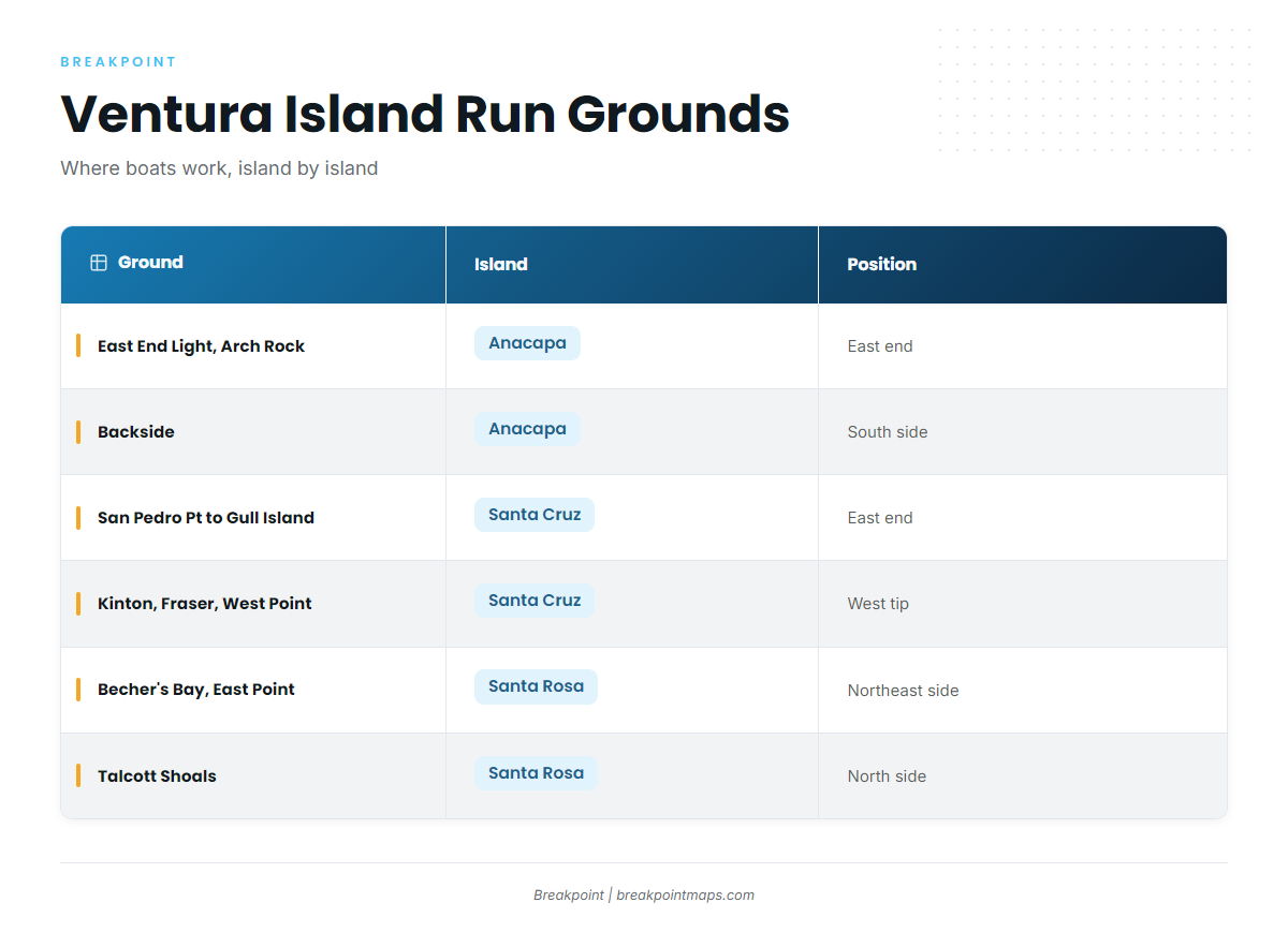
The table lists the named grounds in the order a boat works them.
| Ground | Island | Position |
|---|---|---|
| North side of West Anacapa, Frenchy’s Cove to west end (SMCA) | Anacapa | North side of West Anacapa |
| East End Light and Arch Rock | Anacapa | East end of Anacapa |
| Backside | Anacapa | South side of Anacapa |
| San Pedro Point, Yellowbanks to Gull Island closure | Santa Cruz | East end, past the Scorpion closure |
| Potato Harbor to Chinese Harbor to Prisoners | Santa Cruz | Potato Harbor to Prisoners |
| Kinton Point, Fraser Point, West Point | Santa Cruz | West tip, next to Santa Rosa |
| Becher’s Bay and East Point | Santa Rosa | Northeast side |
| Talcott Shoals | Santa Rosa | North side, shallow rock fishing |
Read 46217 before the crossing
The nearest buoy is NDBC 46217 Anacapa Passage, CA (CDIP 111), a Waverider buoy at 34.167 N 119.435 W in 114 m of water. Pull up the NDBC 46217 Anacapa Passage page and read wave height and period before committing to the crossing. The buoy reports conditions at its own position, so compare it with the official marine forecast.
Grounds and structure that hold yellowtail
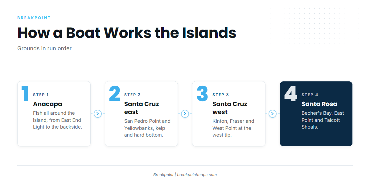
The grounds are grouped the way a boat works them: Anacapa, then Santa Cruz, then Santa Rosa.
Anacapa: East End Light and Arch Rock
This ground sits at the east end of Anacapa and is the first stop on the all-around-the-island run.
Anacapa: the backside
The backside is the south side of Anacapa, a named ground on the same run as East End Light.
Anacapa: north side of West Anacapa, Frenchy’s Cove to the west end
This stretch is an SMCA. See the Regulations section below and the state page for what the designation allows.
Santa Cruz: San Pedro Point through Yellowbanks to the Gull Island closure
This run sits at the east end of Santa Cruz, past the Scorpion closure. It is kelp and hard bottom, bounded by the Gull Island closure. The Chart Contours layer shows where hard bottom sits off San Pedro Point. Chart layers are not for navigation.
Santa Cruz: Potato Harbor, Chinese Harbor and Prisoners
The stretch runs in that order, and boats work it as one connected piece of Santa Cruz shoreline.
Santa Cruz: Kinton Point, Fraser Point and West Point
These points sit at the west tip of Santa Cruz, next to Santa Rosa, and are the step outward toward Santa Rosa.
Santa Rosa: Becher’s Bay and East Point
This ground is on the northeast side of Santa Rosa.
Santa Rosa: Talcott Shoals
Talcott Shoals is on the north side of Santa Rosa and is shallow rock fishing.
How yellowtail are fished out of Ventura
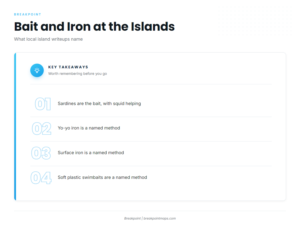
Yellowtail fishing out of Ventura comes down to bait and iron. Local island writeups name these methods:
- Sardines. The bait local writeups name first, with squid helping.
- Yo-yo iron. A jig worked through the water column.
- Surface iron. A jig fished for fish showing near the surface.
- Soft plastic swimbaits. An artificial option named alongside the iron.
The same crossing puts you on other coastal and offshore gamefish if yellowtail are not showing.
Who fishes them from Ventura Harbor
Ventura Sportfishing out of Ventura (Ventura Harbor Sportfishing) is a local charter that lists California yellowtail. Tucker McCombs is the owner and Endeavor captain.
FAQ: California yellowtail fishing out of Ventura
When are yellowtail around Ventura?
Spring to fall, per Visit Ventura. The fishing happens at the islands, not along the mainland shore. Boats leave Ventura Harbor and cross to Anacapa, Santa Cruz or Santa Rosa.
Which islands do Ventura boats run to for yellowtail?
Anacapa all around the island, then Santa Cruz from San Pedro Point through Yellowbanks to the Gull Island closure, then the west end of Santa Cruz. Santa Rosa is the reach beyond: Becher’s Bay, East Point and Talcott Shoals.
What bait and lures work at the islands?
Local island writeups name sardines, with squid helping, along with yo-yo iron, surface iron and soft plastic swimbaits. Match the method to how the fish are showing on your meter and on the surface.
What buoy should I check before running?
NDBC 46217 Anacapa Passage, CA (CDIP 111), a Waverider buoy at 34.167 N 119.435 W in 114 m of water. Read wave height and period. The buoy measures its own position, so check the official marine forecast too.
Who runs yellowtail charters out of Ventura Harbor?
Ventura Sportfishing (Ventura Harbor Sportfishing) lists California yellowtail. Tucker McCombs is the owner and Endeavor captain. Contact the operator directly for trip details.
Where are the closures near the yellowtail grounds?
The West Anacapa SMCA runs from Frenchy’s Cove to the west end on the north side. The Scorpion closure sits at the east end of Santa Cruz, and the San Pedro Point run passes it. The Gull Island closure ends the Yellowbanks run. Check the state regulations page before fishing.