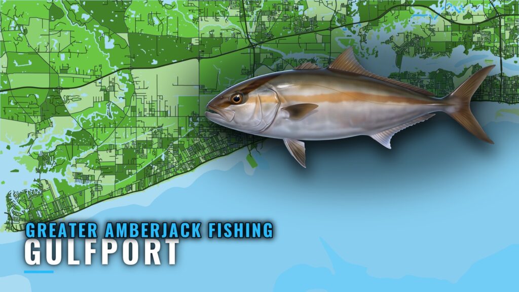
When greater amberjack fishing out of Gulfport is a summer trip
Greater amberjack fishing out of Gulfport is a summer offshore fishery south of the barrier islands. Boats run from the Mississippi coast to reef and wreck structure. The wider picture is in the greater amberjack fishing in the Gulf of Mexico and the Gulf of Mexico region guide.
Our Gulfport port guide covers launching and running out. This page covers the run, the grounds, how they are fished, and where to check the rules.
The run south of the barrier islands
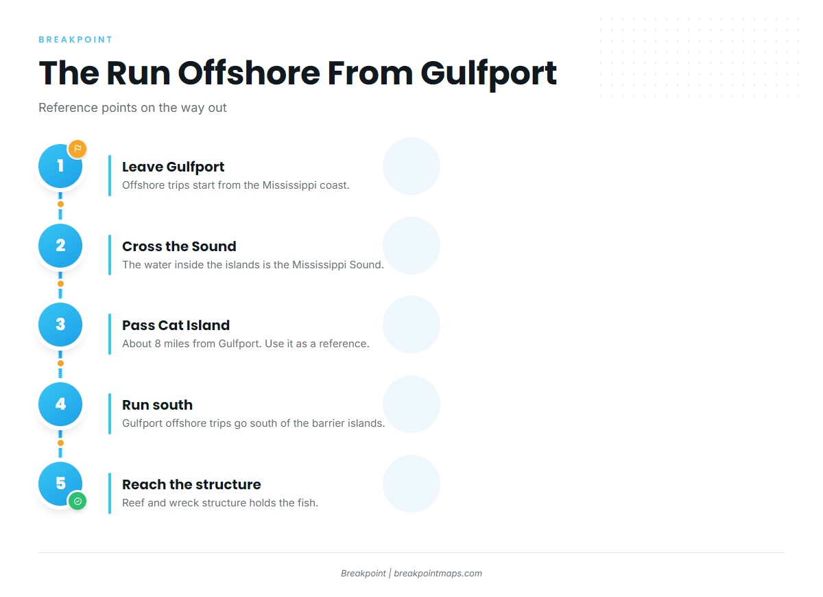
Gulfport offshore trips run south of the barrier islands, and two reference points mark the way.
- Mississippi Sound: the water inside the islands, which you cross first.
- Cat Island: the nearest named landmark on the run out.
Cat Island as a reference
Cat Island lies about 8 miles from Gulfport, which makes it a handy distance marker on the way out.
Heading offshore
Once you are past the barrier islands, you are on the offshore trip. Everything below sits south of them.
Grounds and structure off Gulfport
Amberjack off Gulfport hold on artificial reefs, wrecks, and named offshore grounds. For the wider regional picture, see our reef fish guides. Chart layers are not for navigation.
| Ground | What it is |
|---|---|
| Fish Haven 9/11 | Retired shrimp boat sunk as a reef |
| MDMR offshore reef sites | 15 permitted sites, about 16,000 acres total |
| DeSoto Canyon | Named offshore ground |
| Mississippi Canyon | Named offshore ground |
Fish Haven 9/11
Fish Haven 9/11 is a retired shrimp boat sunk as a reef off the Mississippi coast, near Ship Island.
MDMR offshore reef sites
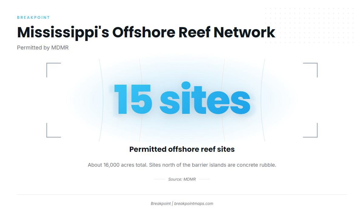
MDMR permits 15 offshore reef sites covering about 16,000 acres in total. The sites north of the barrier islands are built from concrete rubble.
DeSoto Canyon and Mississippi Canyon
DeSoto Canyon and Mississippi Canyon are both named offshore grounds for boats out of Gulfport.
The Nipple, The Elbow and The Spur
Other named grounds:
- The Nipple
- The Elbow
- The Spur
How they are fished here
Fishing here is structure fishing on reefs and wrecks. For methods, tackle, and biology, use the greater amberjack species guide.
Conditions and forecasts
No active NDBC buoy sits near Gulfport, and there is no Gulfport tide station to pull from. Plan from the official marine forecast, reading it for wind, wave height, and period numbers.
Who fishes for them
Owner-operators run their own boats offshore from Gulfport. Captain Ron Harmon runs Captain Ron’s Charters on ‘Lucky Enough’, a rebuilt 1978 40 ft Chris-Craft. The charter lists greater amberjack.
FAQ
What season is greater amberjack fishing out of Gulfport?
Summer. Boats run offshore, south of the barrier islands. For open dates, see the Regulations section above and check with MDMR before you go.
How far is Cat Island from Gulfport?
About 8 miles. It works as a reference point on the run out toward the barrier islands.
What is Fish Haven 9/11?
A retired shrimp boat sunk as a reef off the Mississippi coast, near Ship Island.
How many MDMR offshore reef sites are there?
There are 15 permitted sites, about 16,000 acres in total. The sites north of the barrier islands are concrete rubble.
Is there a buoy or tide station for Gulfport?
No active NDBC buoy sits near Gulfport, and there is no Gulfport tide station. Plan from the official marine forecast.