
About Gulfport
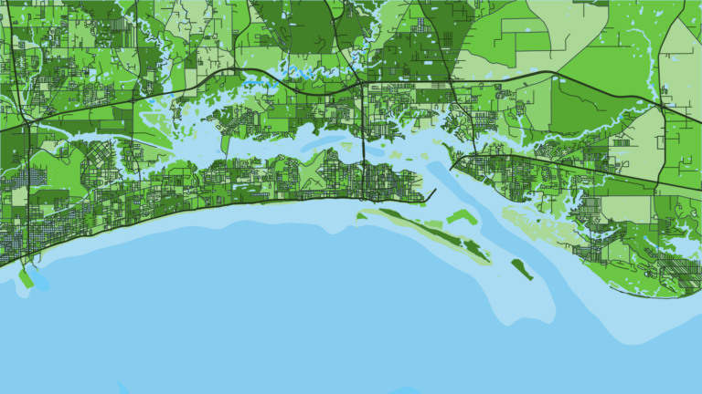
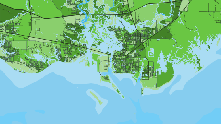
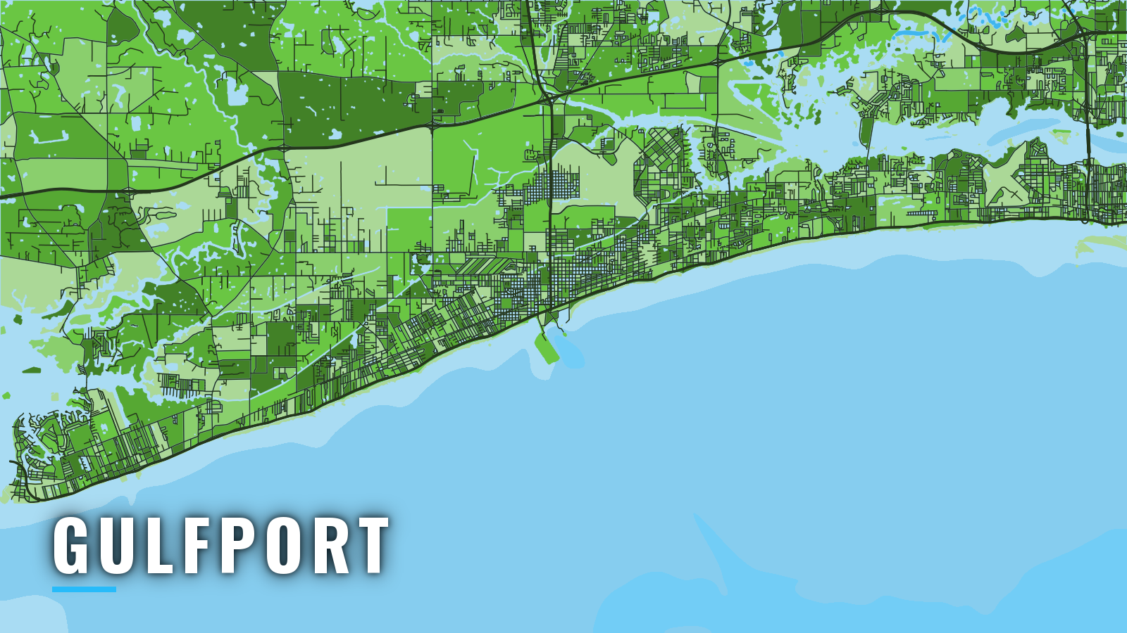
Gulfport Small Craft Harbor sits on Mississippi Sound, reached by a branch off the Gulfport Ship Channel, which runs about 10 miles northwest from Ship Island Pass. From the harbor you can fish the Sound reefs and island edges year-round, and reach reef fish and pelagics offshore past the barrier islands. That puts Gulfport at the center of fishing across the northern Gulf for anyone running their own boat.
Anglers here target red snapper, speckled trout, redfish, sheepshead, cobia, king mackerel and tripletail. The Mississippi Department of Marine Resources (MDMR) sets the saltwater rules. A red snapper trip needs a Tails n’ Scales trip number and an Offshore Landing Permit, so check MDMR before fishing. For licenses and reporting, see Mississippi rules, licenses and red snapper reporting.
Access and navigation
Public launch and marina access in Gulfport:
- Gulfport Small Craft Harbor boat ramp – City of Gulfport public launch inside the harbor.
- Gulfport Municipal Marina (Bert Jones Yacht Basin) – City-owned slips, with fuel listed.
If you keep a boat in a slip, plan for storms early. The harbor has no sheltered facilities or anchorages for deep-draft vessels in a tropical system. Shallow-draft boats left in the water tend to be moved toward the Back Bay of Biloxi and the bayous and rivers inland.
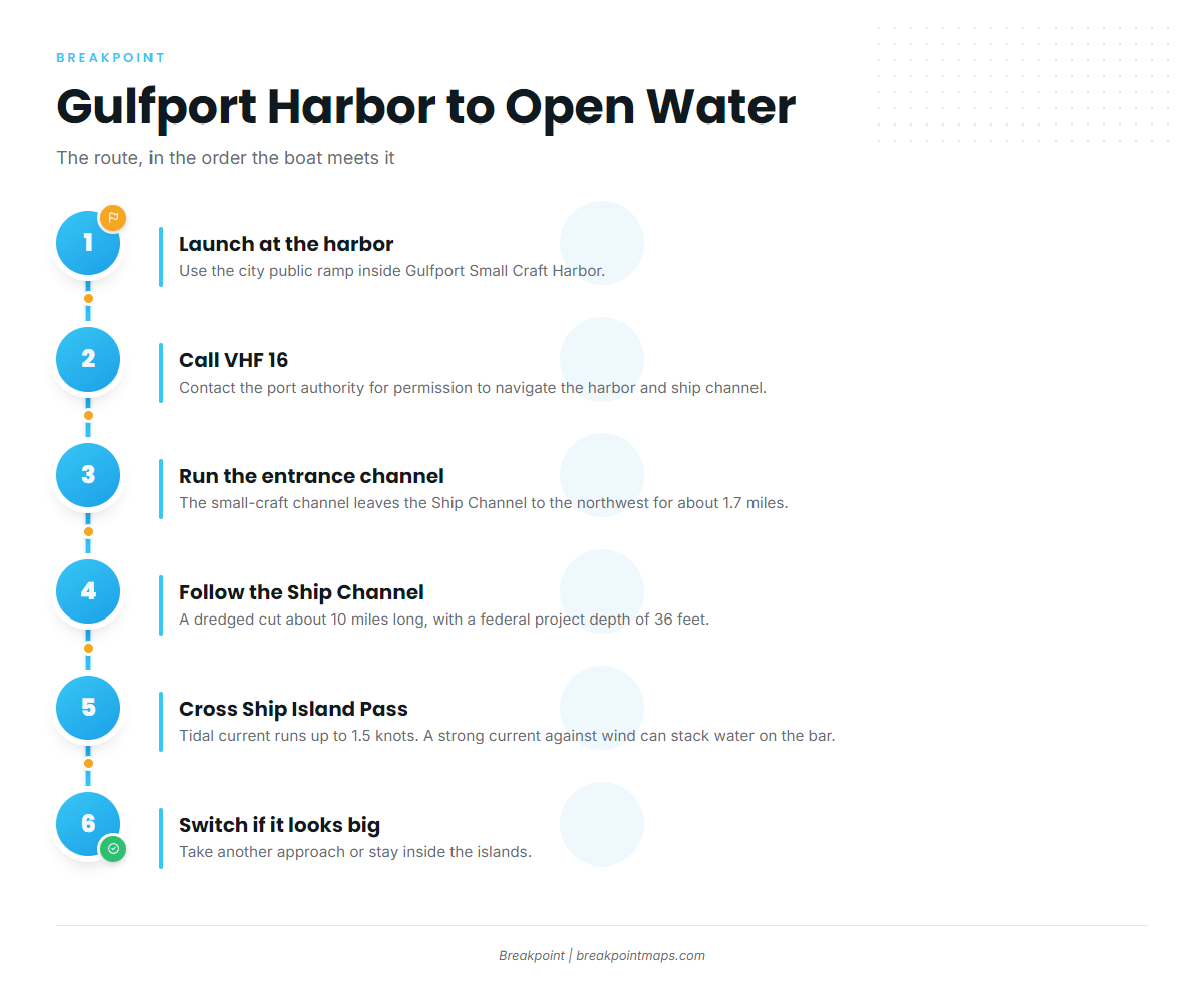
Leaving the harbor. The small-craft entrance channel leaves the Ship Channel to the northwest for about 1.7 miles. The Ship Channel is a dredged cut about 10 miles long with a federal project depth of 36 feet, and ships under a licensed pilot have preferential use of it. Local rules require all vessels to contact the port authority on VHF 16 for permission to navigate the harbor and ship channel.
Ship Island Pass. Tidal current in the pass can run up to 1.5 knots in normal weather, and a continued norther can set as much as 3 knots on Ship Island Bar. Northeast-to-south winds tend to raise water levels, and southwest-to-north winds tend to lower them. Tide range at the harbor is about 1.5 feet. A strong current against a building wind can stack the water up on the bar.
Two hazards need attention. An unmarked shoal off West Point, at the west end of Ship Island, is moving west. The cut through Ship Island is shoal at 2 to 5 feet. Charted depths can change, and the narrow Gulfport Channel can shoal severely, so read U.S. Coast Pilot 5 Chapter 7 before you go.
Other approaches. Cat Island Channel is marked to about 12 feet and leads into lesser depths in the Sound, so it tends to suit shallower drafts. To the east, Dog Keys Pass has about 13 feet over its bar, and Little Dog Keys Pass was reported at 14 feet or more and is used by sport fishermen. Those are the passes Biloxi boats use. Horn Island Pass lies well to the east of Gulfport water.
On arrival, look at the water and read the NWS forecast for GMZ532. Wind, wave height and period are the numbers that matter, though a forecast is still only a forecast. If Ship Island Pass looks bigger than you want, switch approaches or stay inside the islands.
Fishing conditions
For reef fish, the line to know is 9 nautical miles south of the barrier islands, which marks the edge of Mississippi state waters. Private recreational anglers may fish beyond it, and that is where you will find red snapper beyond the islands.
Closer in, the nearest structure sits around Ship Island and Cat Island waters. Pass Christian Key and Square Handkerchief (Gene Taylor Key) are named reef grounds. MDMR also maintains permitted reef areas: FH 4, FH 8, FH 9/11, FH 10, FH 14 and Cat Island Reef. On these reefs, use no more than 3 hooks per line and no powerhead spear gear. The MDMR Artificial Reef Program publishes reef maps and coordinates. The Chandeleur Islands are the longer run to the south.
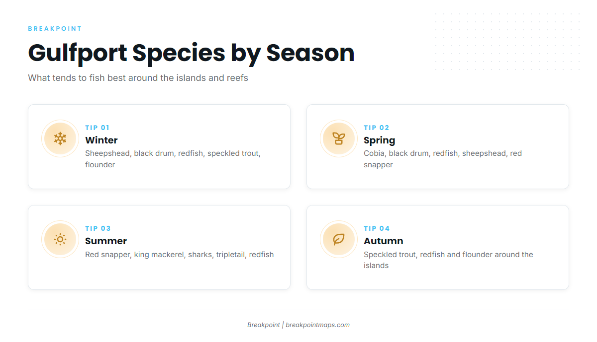
Winter
Sheepshead, black drum, redfish, speckled trout and flounder tend to hold on Sound reefs and island structure. Farther out, king mackerel and sharks can show up. Norther wind and the current it sets on the bar make winter crossings a weather-window decision.
Spring
Redfish, speckled trout, black drum and sheepshead work the reefs and islands. Cobia moving along the coast tend to show up this time of year. Red snapper season is set by MDMR opening order, so check the order before you plan a trip.
Summer
Red snapper, whose season is set by MDMR opening order, share the water with king mackerel, sharks and tripletail, while redfish and speckled trout stay on the inside. Afternoon wind can build chop in the Sound, so the morning forecast might not hold.
Autumn
Speckled trout, redfish and flounder tend to be the focus around the islands and Sound reefs. Chart Contours and OBS SST show where the reefs and temperature edges sit before you leave the ramp, and Breakpoint pins the best-scoring places for your species. Chart layers are not for navigation. To get that look at the water before your next run, download Breakpoint from the App Store or Google Play.