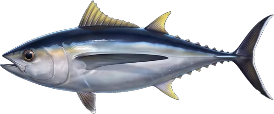
When Pacific bluefin are off Winchester Bay
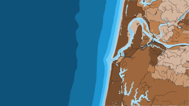
Pacific bluefin fishing out of Winchester Bay is an offshore trip that starts at the mouth of the Umpqua River. The Winchester Bay port page covers the ramps, the bar and the harbor.
This page gives no months for bluefin here. The Pacific Northwest bluefin guide (see also the Pacific Northwest region guide) has the seasonal and water-temperature picture for the region.
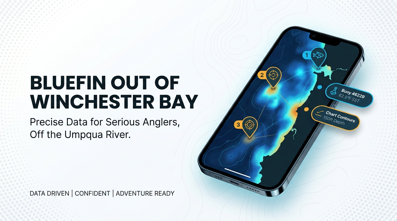
To decide whether a given day is worth the run, work from live water data. Offshore anglers generally look for a sea surface temperature break, and buoy 46229 reports wave and wind numbers. Albacore is the offshore trip most local boats already make, so anyone who runs for albacore out of this port already knows the route to blue water.
| What to check | Where it comes from |
|---|---|
| Sea surface temperature breaks | Satellite SST layers |
| Wave height, period and wind | NDBC buoy 46229 |
| Marine forecast | NWS marine forecast |
Where boats run from Winchester Bay
Boats that target bluefin from Winchester Bay run to offshore waters. One local charter lists Pacific bluefin among its targets and fishes offshore.
Every offshore run begins by crossing the Umpqua River bar. The port page above covers the entrance, and the buoy readings below give bar-day conditions as figures. If you run your own boat, plan fuel and range from your own boat’s numbers.
The deep-water reef
SOA Charters lists a deep-water reef among its grounds but does not name it. Treat it as a reference point, not a guaranteed bluefin spot.
Named grounds and structure near the port
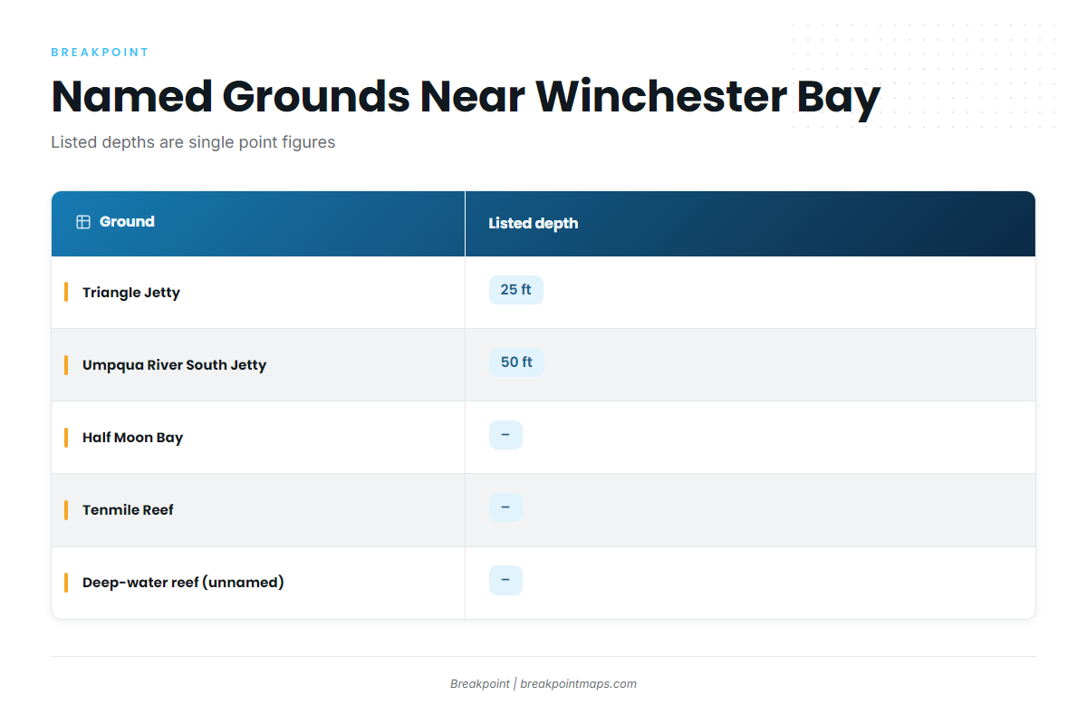
These are the reference marks anglers name around the port. The listed depths are single-point figures rather than contours, and bluefin are not tied to any of these marks.
| Ground | Listed depth |
|---|---|
| Triangle Jetty | 25 ft |
| Umpqua River South Jetty (Umpqua Jetty) | 50 ft |
| Half Moon Bay | n/a |
| Tenmile Reef | n/a |
| Deep-water reef (unnamed) | n/a |
Chart Contours shows the bottom around these marks. Chart layers are not for navigation.
Triangle Jetty
Triangle Jetty has a listed depth of 25 ft, the shallowest named mark here.
Umpqua River South Jetty
The Umpqua River South Jetty, also called the Umpqua Jetty, has a listed depth of 50 ft.
Half Moon Bay
Half Moon Bay is a named local ground. No depth is listed.
Tenmile Reef
Tenmile Reef is a named reef ground near Winchester Bay. No depth is listed.
How it’s fished and reading conditions here
The Pacific bluefin tuna fishing guide covers trolling, jigging and the rest of the method. What is specific to this port is the conditions check before the run.
Buoy 46229 Umpqua Offshore
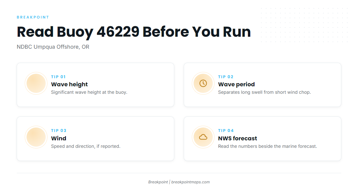
NOAA’s National Data Buoy Center operates station 46229, Umpqua Offshore, OR, at 43.772 N, 124.549 W. Three fields matter before you cross the bar:
- Significant wave height. The average height of the highest third of waves.
- Dominant wave period. Seconds between crests, which separates long swell from short wind chop.
- Wind speed and direction. Reported when the station carries the sensor.
The buoy sits offshore of the port and measures a single point, so it doesn’t describe the whole run or the bar. A reading is a snapshot and a forecast is a forecast. Read the numbers alongside the official NWS marine forecast and make the call yourself.
Who fishes bluefin out of Winchester Bay
SOA Charters in Winchester Bay lists Pacific bluefin tuna. Captain Travis Marsh runs a 28 ft Hewescraft with twin 150 hp Yamaha engines.
If you run your own boat, that gives you a reference class to compare against. If you aren’t ready to run offshore alone, a charter is one way to see the port’s offshore routine first.
FAQ: Pacific bluefin out of Winchester Bay
Do any charters target Pacific bluefin tuna fishing out of Winchester Bay?
Yes. One local charter lists them: SOA Charters, with Captain Travis Marsh, fishing offshore waters.
Which buoy should I check before running offshore?
NDBC station 46229, Umpqua Offshore, at 43.772 N, 124.549 W. Read wave height, period and wind alongside the NWS marine forecast.
How deep are the jetties at Winchester Bay?
The listed depths are 50 ft for the Umpqua River South Jetty and 25 ft for Triangle Jetty. These are point figures. Chart layers are not for navigation.
Where are the rules for bluefin off Oregon?
ODFW sets state rules, and federal highly migratory species rules also apply. See the Regulations section above, and check before fishing.
Where can I read about tuna fishing elsewhere on this coast?
Start with our tuna fishing guides.