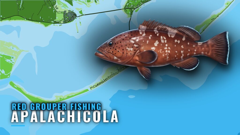
Red grouper fishing out of Apalachicola depends on timing, offshore reef and wreck structure, and a handful of named sites you can work from. This page covers the grouper window, five sites with IDs and depths, the NOAA station to read before you run, and the charter that lists red grouper from this port. For biology, rigs and general tactics, see our red grouper guide. The numbers here are meant to help you decide where to look. They don’t promise fish. The wider picture is in the red grouper fishing in the Gulf of Mexico and the Gulf of Mexico fishing guide.
When red grouper are around Apalachicola
FishingBooker’s Apalachicola fishing overview puts the grouper window at late spring to early winter. That is the only seasonal guidance available for this port, so plan around it.
The window tells you when fish are around. Open and closed dates are set by the agencies, so check the Regulations section below before you plan a trip. For the wider Gulf picture, see our reef fish guides.
Where boats run for red grouper
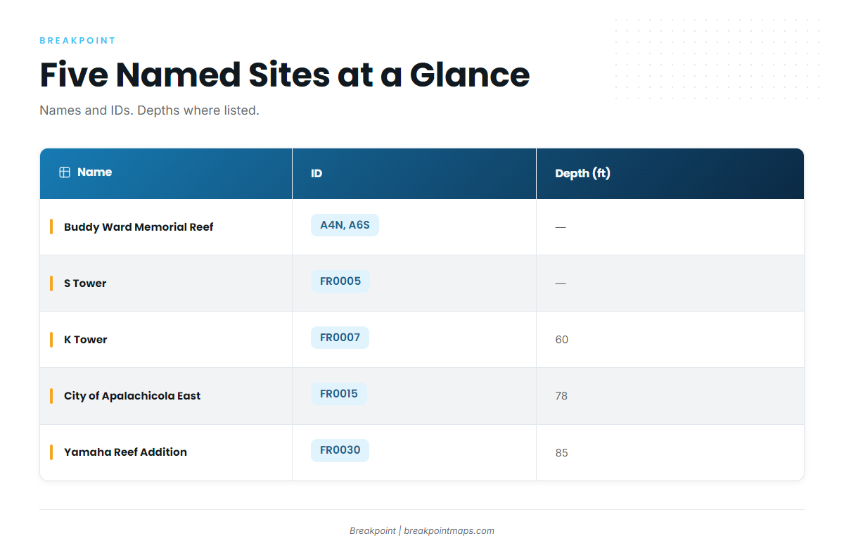
Boats out of Apalachicola run to offshore reef and wreck structure. The sites below sit in the Franklin County reef area, and S Tower is listed in the AARA Franklin reef area.
| Name | ID | Depth (ft) |
|---|---|---|
| Buddy Ward Memorial Reef | A4N, A6S | |
| S Tower | FR0005 | |
| K Tower | FR0007 | 60 |
| City of Apalachicola East | FR0015 | 78 |
| Yamaha Reef Addition | FR0030 | 85 |
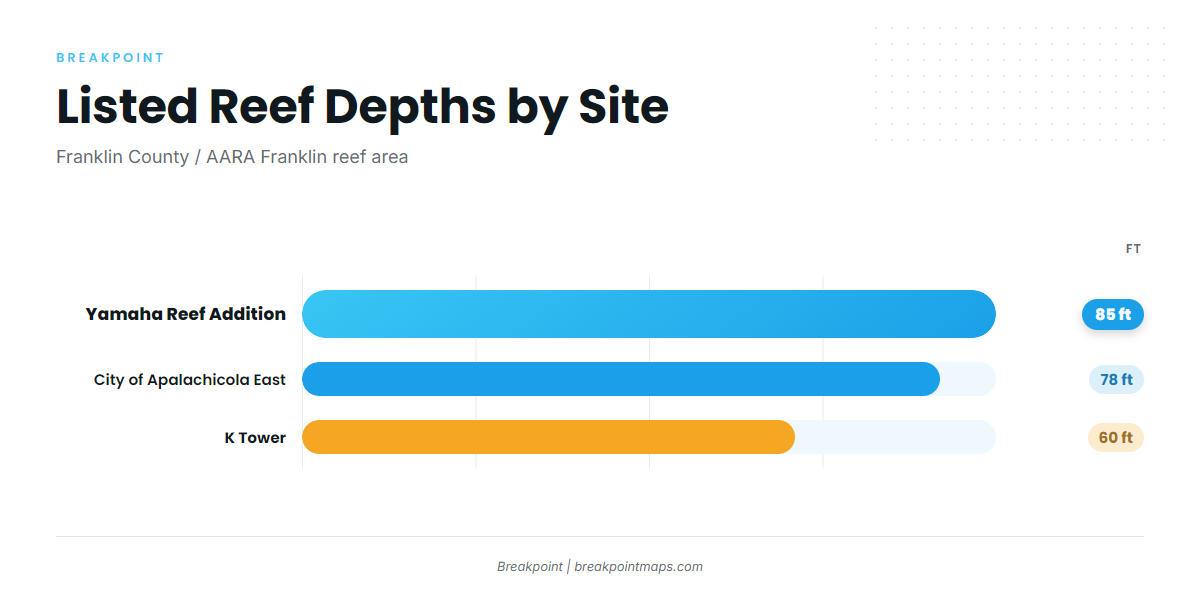
Three of the five sites list a depth: K Tower at 60 ft, City of Apalachicola East at 78 ft, and Yamaha Reef Addition at 85 ft. You can plot all five against Chart Contours in Breakpoint to see how the bottom lays out around each one. Chart layers are not for navigation.
Buddy Ward Memorial Reef
Buddy Ward Memorial Reef carries the ID A4N and is also listed as A6S. Look it up under either ID when you build your waypoint list.
S Tower
S Tower is FR0005, listed in the AARA Franklin reef area.
K Tower
K Tower is FR0007, in 60 ft, the shallowest of the listed sites that carry a depth.
Yamaha Reef Addition
Yamaha Reef Addition is FR0030, in 85 ft, the deepest listed depth on this page.
City of Apalachicola East
City of Apalachicola East is FR0015, in 78 ft, which puts it between K Tower and Yamaha Reef Addition by depth.
How red grouper are fished out of Apalachicola
Local red grouper fishing happens over the named reef, tower and wreck sites at the depths listed above, rather than on open bottom.
Working reef and wreck structure
Start with the structure, then pick the depth that fits your boat and your day:
- Towers and reef additions give you a defined target at a known depth.
- Sites in the AARA Franklin area let you stack several stops into one trip.
- The 60 to 85 ft depth spread lets you change water depth without a long reposition.
Reading conditions before the run
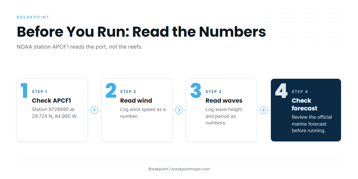
Check NOAA station APCF1 (station 8728690) at 29.724 N, 84.980 W, Apalachicola. It reports conditions at the port, not on the reefs, so use it as a starting point rather than as the sea state over 60 to 85 ft of water.
Read these before you commit:
- Wind speed and direction at APCF1.
- Wave height and wave period, where the station reports them.
- The official NOAA marine forecast for your run, which covers the water you will actually cross.
Who fishes red grouper out of Apalachicola
Adventures Aboard The C-ScouT lists red grouper. Captains Brad and Larry Segree run a 28-foot Mako with twin 200hp Mercury engines. If you want to see these grounds with a local crew before running your own boat, this is the Apalachicola charter to start with.
FAQ about red grouper fishing out of Apalachicola
When is grouper season here?
FishingBooker puts the grouper window at late spring to early winter. Legal seasons come from the agencies, so check the Regulations section above before you go.
What structure holds them?
Offshore reef and wreck structure, such as K Tower (FR0007) in 60 ft. The listed sites sit in the Franklin County reef area.
How deep is K Tower?
K Tower (FR0007) sits in 60 ft. The other listed depths are 78 ft at City of Apalachicola East (FR0015) and 85 ft at Yamaha Reef Addition (FR0030).
Where can I check conditions?
NOAA station APCF1 (8728690) at 29.724 N, 84.980 W. It reports conditions at the port, not the reefs. Check the official NOAA marine forecast before you run.
Is there a local charter?
Adventures Aboard The C-ScouT, run by Captains Brad and Larry Segree on a 28-foot Mako with twin 200hp Mercury engines.