When greater amberjack are around Apalachicola
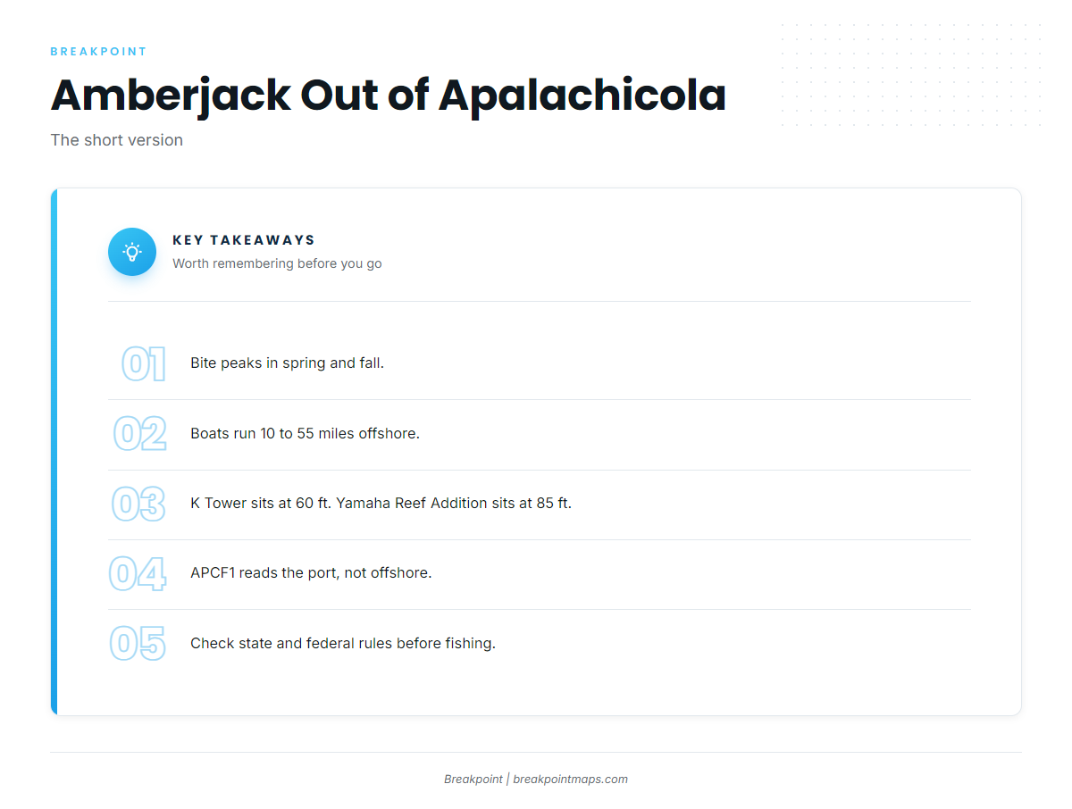
Greater amberjack fishing out of Apalachicola centers on two windows: spring and fall. Captain Experiences’ Apalachicola guide puts the peak bite in those seasons. For the wider coast, see the greater amberjack fishing in the Gulf of Mexico and the Gulf of Mexico offshore fishing guide.
For how the fish behave across the Gulf, see the greater amberjack species guide. This page covers the port itself.
How far boats run from St. George Island
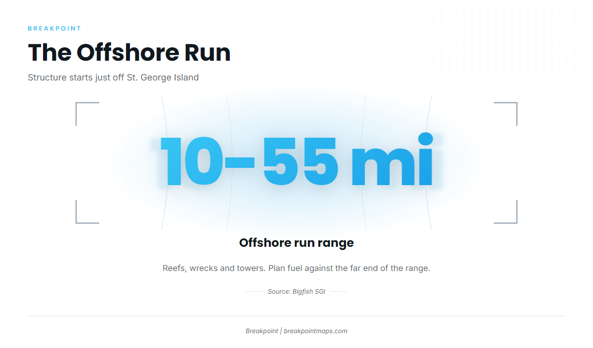
Structure starts just off St. George Island and extends out to 10 to 55 miles. The far end of that range comes from Bigfish SGI, which runs that distance to reach reefs, wrecks and towers. It describes one operation’s range and shouldn’t be read as a rule for the port.
Reefs and wrecks just offshore
Reefs and wrecks sit just offshore from St. George Island. They are the closest structure to the pass and the shortest run covered here.
The 10 to 55 mile range
Bigfish SGI runs 10 to 55 miles offshore to reach reefs, wrecks and towers. Plan fuel for the far end of that range. The distance you run determines how many named spots you can fit into one day.
Named reefs and towers
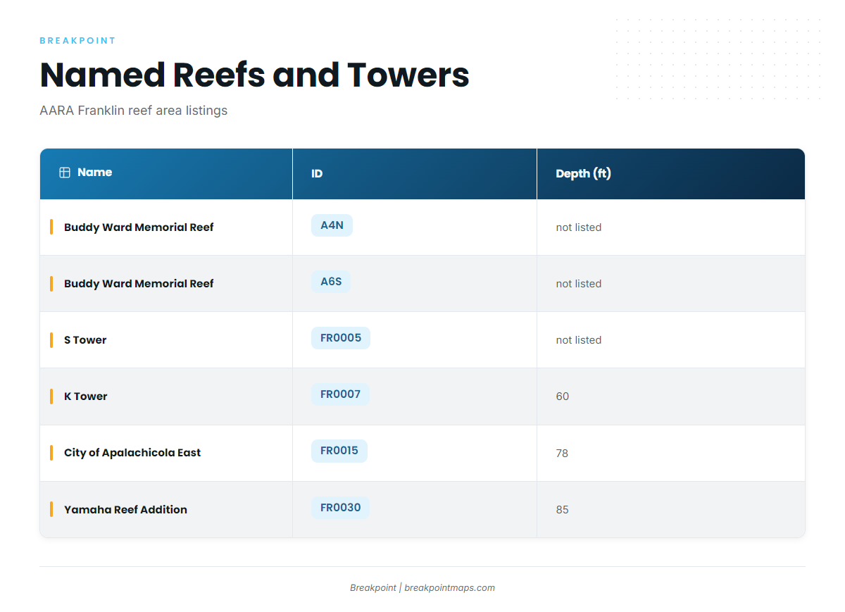
Franklin County’s named sites sit in the AARA Franklin reef area, which is the artificial reef program listing behind them. S Tower is the only one explicitly tied to that listing here. For wider Gulf context on bottom fish, see the Gulf reef fish guides.
The table below lists the named structure near Apalachicola, with program IDs and listed depths.
| Name | ID | Depth (ft) |
|---|---|---|
| Buddy Ward Memorial Reef | A4N | not listed |
| Buddy Ward Memorial Reef | A6S | not listed |
| S Tower | FR0005 | not listed |
| K Tower | FR0007 | 60 |
| City of Apalachicola East | FR0015 | 78 |
| Yamaha Reef Addition | FR0030 | 85 |
K Tower has the shallowest listed depth at 60 ft, and Yamaha Reef Addition the deepest at 85 ft. Treat these as places to look, not guarantees. Chart layers are not for navigation.
Reading conditions before the run (APCF1)
The nearest NOAA station is APCF1 (station 8728690), at 29.724 N, 84.980 W in Apalachicola. A reading there describes conditions at the port, not at a tower 10 to 55 miles offshore.
Check the station’s wind, wave height and period where reported, then read the official NOAA marine forecast for your run before you leave the dock. The buoy gives you a starting point, and the forecast covers the water you plan to cross.
- Wind: the first number to read at the station
- Wave height and period: read together, where reported
- Official forecast: covers the offshore zones the buoy cannot see
Who fishes for amberjack from this port
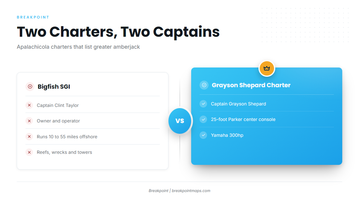
Two Apalachicola charters list greater amberjack. A guided trip is one way to learn the grounds before running your own boat out to them.
Bigfish SGI
Bigfish SGI is run by Captain Clint Taylor, owner and operator. The operation runs 10 to 55 miles offshore to reefs, wrecks and towers.
Grayson Shepard Charter Fishing
Grayson Shepard Charter Fishing is run by Captain Grayson Shepard on a 25-foot Parker center console with a Yamaha 300hp.
FAQ: greater amberjack out of Apalachicola
When is the amberjack bite best out of Apalachicola?
Spring and fall, per Captain Experiences.
How far do boats run for amberjack from St. George Island?
Reefs and wrecks sit just offshore. Bigfish SGI runs 10 to 55 miles to reefs, wrecks and towers.
How deep is K Tower?
60 ft. Its program ID is FR0007.
What NOAA station is nearest Apalachicola?
APCF1 (station 8728690) at 29.724 N, 84.980 W. It reads conditions at the port, not offshore.
Which charters target amberjack from this port?
- Bigfish SGI, run by Captain Clint Taylor.
- Grayson Shepard Charter Fishing, run by Captain Grayson Shepard on a 25-foot Parker center console.
Where are the amberjack rules for fishing from Apalachicola?
Check both the state and federal rules before fishing, because the runs reach 10 to 55 miles. The Regulations section above points to both.