Red snapper fishing out of Pascagoula happens in federal waters, in a short window that typically runs June through July. Boats run 10 to 75 miles from the Gautier dock, so out of Pascagoula the trip depends on where you set up and how far you commit. This guide covers the calendar, the run, the named structure and who works these grounds. It focuses on where to look, not on limits. Region-wide coverage is in the wider Gulf of Mexico guide.
When red snapper are here
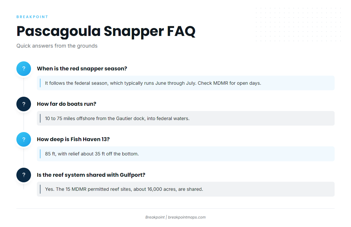
The federal season typically runs June through July. That window sets the calendar for every trip from this port, and the fish are worked in federal waters rather than inside the barrier islands. For the species picture, see the guide to red snapper across the Gulf.
Federal season
Open days inside the window are set by the agency, not by the calendar. Plan around June and July, then confirm the specific days before you commit fuel and a weather window.
Planning around the forecast
Read the official NWS Mobile marine forecast for wind, wave height and period before you run. A 75-mile run keeps you farther from the dock and exposed to a changing forecast for longer, and the forecast can move after you leave.
How far boats run from Pascagoula
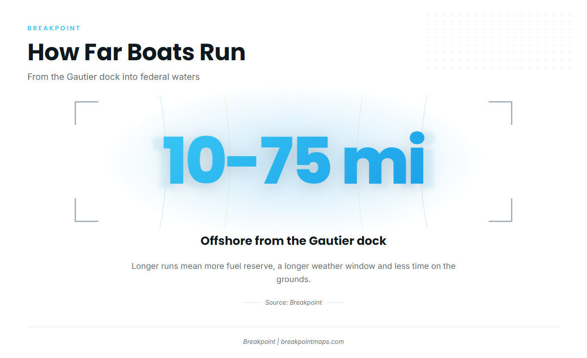
The range is wide, and where you land in it shapes the rest of the day.
From the Gautier dock
Boats run 10 to 75 miles offshore from the Gautier dock. At the short end you keep fuel in reserve and need only a modest weather window. At the long end you burn more of both, and you spend more of the day underway than on the grounds. Choose a distance you can run, fish and return from with margin.
Federal waters
Every ground in this guide is in federal waters, so you run past state waters to reach them.
Grounds and structure near Pascagoula
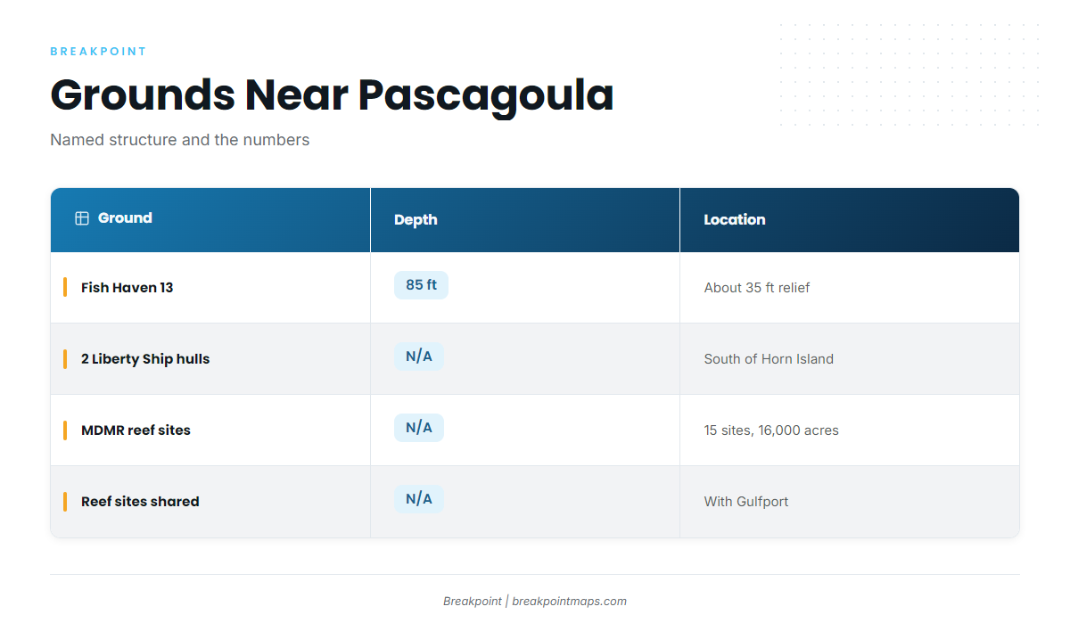
Named structure here is a short list. The table below summarizes what is known, with blanks where there is nothing to state.
| Ground | Depth | Relief | Location |
|---|---|---|---|
| Fish Haven 13 | 85 ft | about 35 ft | |
| 2 Liberty Ship hulls | permitted reef sites south of Horn Island | ||
| MDMR permitted reef sites | 15 sites, about 16,000 acres, shared with Gulfport |
Fish Haven 13
Fish Haven 13 sits in 85 ft of water, with relief of about 35 ft off the bottom. Structure that tall shows clearly on a sounder, and it affects how you set up: you decide whether to anchor up-current of it or drift across it.
Liberty Ship hulls south of Horn Island
Two former Liberty Ship hulls sit on permitted reef sites south of Horn Island, which gives the run a landmark to orient by. They are wrecks, and they hold bottom relief that open sand does not.
MDMR permitted reef sites
The Mississippi Department of Marine Resources (MDMR) permits 15 offshore reef sites covering about 16,000 acres. The system is shared with Gulfport, so the same sites see boats from both ports. This artificial reef program makes up the bulk of the structure you fish out here.
The MDMR permitted reef sites show on Chart Contours. Chart layers are not for navigation.
How red snapper are fished from this port
The fish here are worked over relief and wrecks on permitted reef sites.
Working relief and wrecks
The main task is marking the structure before you set up. Find the relief on the sounder, decide how the current will carry your boat across it, then fish it. For methods that carry across the Gulf, see this guide to reef and wreck technique.
Who fishes for them
Most boats on these grounds are private owner-operators, and Pascagoula boats share the reef sites with boats from Gulfport. Among local charters, Pier Pressure Charters LLC, run by Captain David Burlison, lists red snapper.
FAQ: red snapper out of Pascagoula
When is the red snapper season out of Pascagoula?
Red snapper fishing out of Pascagoula follows the federal season, which typically runs June through July. Check MDMR for the open days.
How far do boats run for red snapper?
Boats run 10 to 75 miles offshore from the Gautier dock, into federal waters.
How deep is Fish Haven 13?
Fish Haven 13 sits in 85 ft of water, with relief of about 35 ft off the bottom.
Where are the Liberty Ships?
Two former Liberty Ship hulls sit on permitted reef sites south of Horn Island.
Is the reef system shared with Gulfport?
Yes. The 15 MDMR permitted offshore reef sites, about 16,000 acres, are shared with Gulfport.