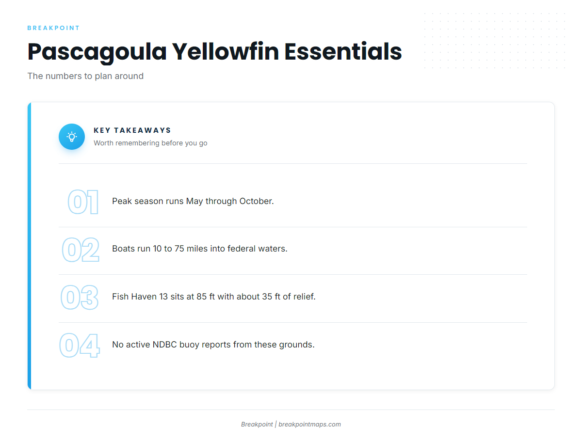
Yellowfin tuna fishing out of Pascagoula happens in federal waters, 10 to 75 miles offshore. The peak runs May through October, and boats leave the Gautier dock at 6:00 AM for a 12-hour day. This page covers when the fish are around, how far boats run, and which structure holds them.
When yellowfin are around Pascagoula
May through October is peak season, when the fish are spawning and feeding heavily.
The reasons behind that timing are in our yellowfin tuna guide, and the wider picture for the northern Gulf is in the Gulf of Mexico yellowfin guide (see also the Gulf of Mexico region guide). This page stays with the port.
The window at a glance:
- Peak: May through October
- Fish behavior: spawning and feeding heavily
- Departure: Gautier dock, 6:00 AM
The run from Gautier
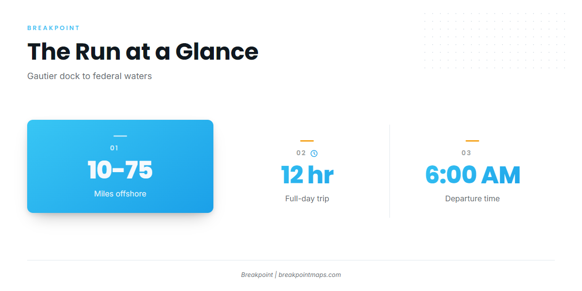
Boats run from the Gautier dock into federal waters.
Distance
The fishing is in federal waters, 10 to 75 miles offshore. Plan the run for the far end of that range.
The day
The trip is a full 12-hour day departing at 6:00 AM, so build your fuel, ice and return plan around that block.
Conditions
No active NDBC buoy reports from these grounds. Plan the run from the official marine forecast, looking at wind speed, wave height and period, and check it again before you clear the island.
The run in numbers:
- Departure: Gautier dock at 6:00 AM
- Range: 10 to 75 miles offshore
- Length: 12 hours, full day
- Conditions source: the official marine forecast, since no active NDBC buoy reports from these grounds
Grounds and structure
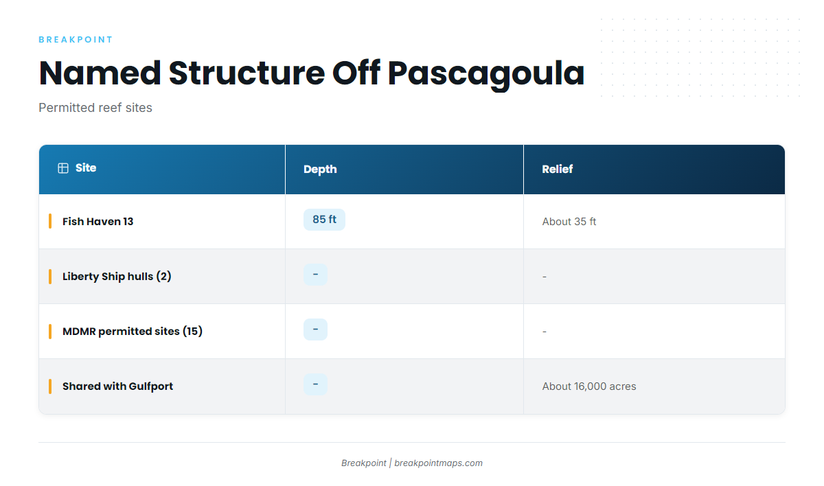
The named structure off Pascagoula is artificial, with permitted reef sites from Fish Haven 13 to the hulls south of Horn Island.
| Site | Depth | Relief | Location note |
|---|---|---|---|
| Fish Haven 13 | 85 ft | about 35 ft | Named Fish Haven reef |
| Liberty Ship hulls (2) | – | – | Permitted reef sites south of Horn Island |
| MDMR permitted offshore sites (15) | – | – | About 16,000 acres, shared with Gulfport |
Reef positions here are for planning. Chart layers are not for navigation.
Fish Haven 13
Fish Haven 13 sits in 85 ft of water, with relief rising about 35 ft off the bottom.
Liberty Ship hulls south of Horn Island
Two former Liberty Ship hulls lie on permitted reef sites south of Horn Island.
MDMR permitted offshore sites
The Mississippi Department of Marine Resources (MDMR) permits 15 offshore reef sites covering about 16,000 acres. Gulfport boats share them.
How it’s fished here
The pattern follows from the numbers: a long run into federal waters, a 12-hour day that starts at 6:00 AM, and a plan built around the permitted structure. Rigging and technique are covered in our tuna fishing guides.
Who fishes them
Pier Pressure Charters LLC, run by Captain David Burlison, lists yellowfin tuna. It is the local listing if you want to see the grounds from someone else’s deck first.
FAQ: yellowfin tuna fishing out of Pascagoula
What months are best for yellowfin out of Pascagoula?
May through October is peak, when the fish are spawning and feeding heavily.
How far do boats run for yellowfin from Pascagoula?
10 to 75 miles offshore, into federal waters, out of the Gautier dock. A full day is 12 hours, departing at 6:00 AM.
What depth is Fish Haven 13?
85 ft, with relief about 35 ft off the bottom.
Who runs yellowfin charters from here?
Pier Pressure Charters LLC, Captain David Burlison, lists yellowfin tuna.
Is there a buoy for the offshore grounds?
No active NDBC buoy reports from these grounds. Use the official marine forecast for wind speed, wave height and period.