
About Pascagoula
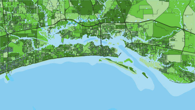
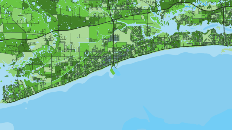
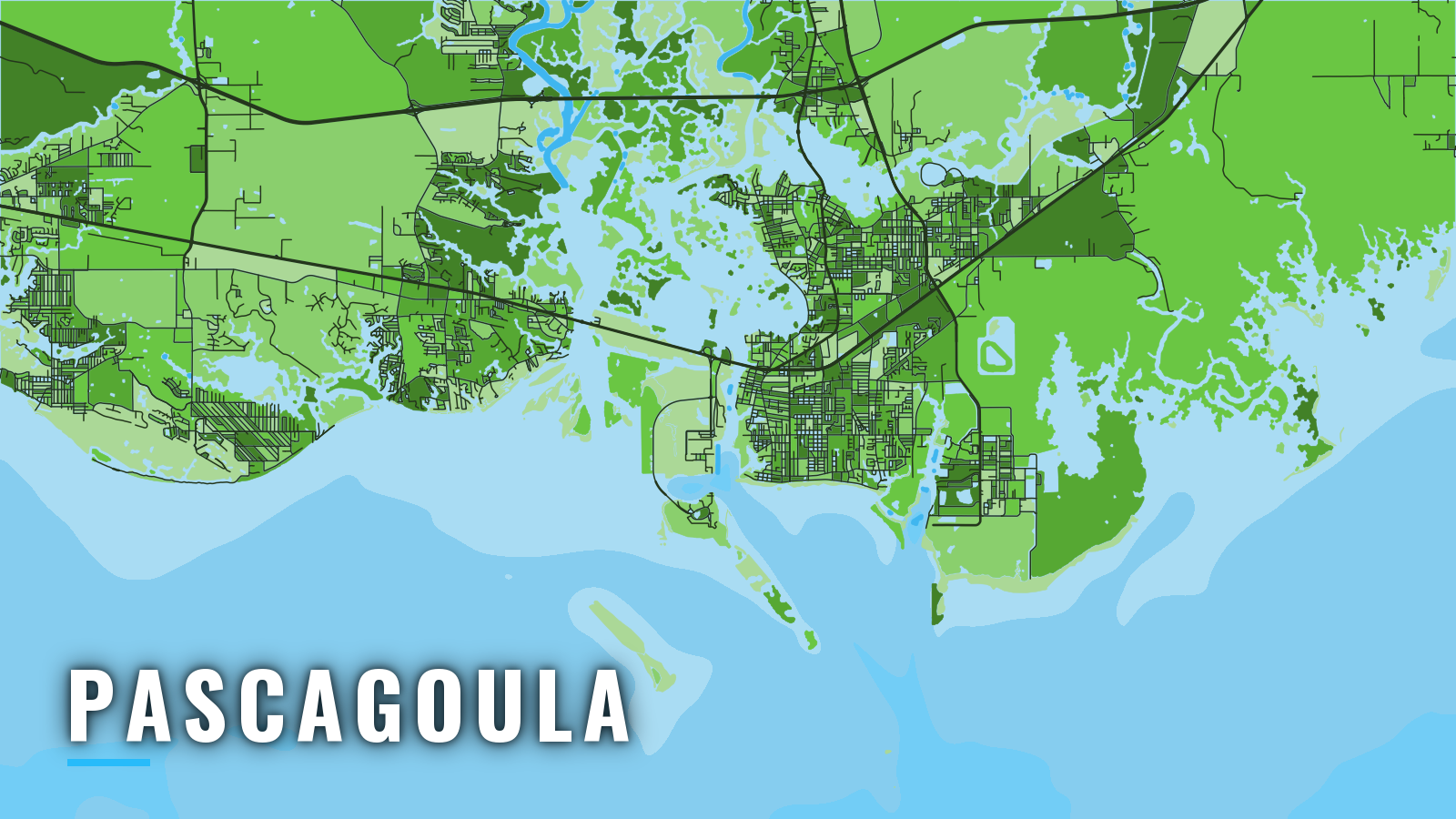
Pascagoula sits on Mississippi Sound on the Mississippi Gulf Coast, with the Pascagoula River mouth to the west and Bayou Casotte about 3 miles east. It is the easternmost of the three Mississippi ports, with Biloxi and Gulfport to the west. The harbor lies about 9 miles north of Horn Island Pass, the dredged entrance through the Gulf Islands barrier islands, so the port sits behind the islands on the northern Gulf. Offshore boats work tuna and wahoo in winter and red snapper in summer. Inshore and island water holds red drum, sheepshead, flounder and black drum through spring and autumn, and cobia show up in the warm months. This guide covers the ramps, the route through the Sound and the passes, and the grounds by season.
Access and navigation
Ramps and marinas
- Lighthouse ParkCity of Pascagoula public launch on the Pascagoula River side.
- Bayou Casotte Boat LaunchLadner Avenue launch on the Bayou Casotte side, closest to the eastern channel.
The channel route
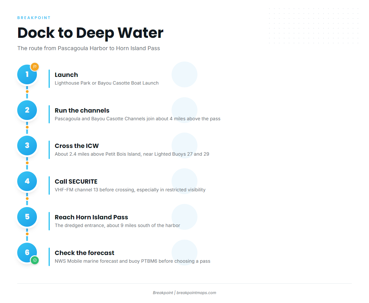
From the dock, the run goes up the Pascagoula Channel or the Bayou Casotte Channel and then down to the pass. The two channels join about 4 miles above Horn Island Pass, with the Casotte branch to the north and the river branch to the northwest. Both branches cross the Intracoastal Waterway about 2.4 miles above the west end of Petit Bois Island, near Lighted Buoys 27 and 29. The Coast Guard asks for a SECURITE call on VHF-FM channel 13 before you cross, especially in restricted visibility. The NOAA Coast Pilot 5 chapter covers the channels in detail. Horn Island Pass, about 9 miles south of Pascagoula Harbor, is the most direct deep exit for boats running far offshore.
How Horn Island Pass behaves
Current in the pass floods north and ebbs south, averaging 1.2 knots at strength. Wind can change its speed and direction considerably, and an ebb running out against a south wind can stand the water up in the pass. Strong east winds and seas can set up strong currents along the shore. The pass behaves differently on each tide, so watch it for a while before you commit.
Petit Bois Pass as the alternative
Petit Bois Pass lies between Dauphin Island and Petit Bois Island. It is no longer maintained and changes often, so it is used mainly by boats with local knowledge that draw about 6 ft or less. Charted depths may not match the bottom. The usual practice is to follow the deep green water in fair weather and stay off the breakers when heavier weather is running.
Landmarks at night and on radar
Horn Island and Petit Bois Island can be poor radar targets from seaward. The refinery flares east of Bayou Casotte tend to be prominent from offshore at night, and Lighted Buoy HI marks the approach to Horn Island Pass.
Before you pick a pass
On arrival, look at the water and check the NWS Mobile marine forecast for the Mississippi Sound and Pensacola to Pascagoula zones. Add buoy PTBM6 at Petit Bois for observed conditions. If the water looks bigger than you want, switch approaches. Cold fronts and hurricane season shape the windows.
Fishing conditions
Fish Haven 13 (FH-13) is the named offshore reef, reached across the Sound and through the islands. The Gulf waters off Horn Island and Round Island hold the island fishing. Reef coordinates and maps come from the MDMR Artificial Reef Program. Pascagoula anglers fish these grounds by season.
Winter
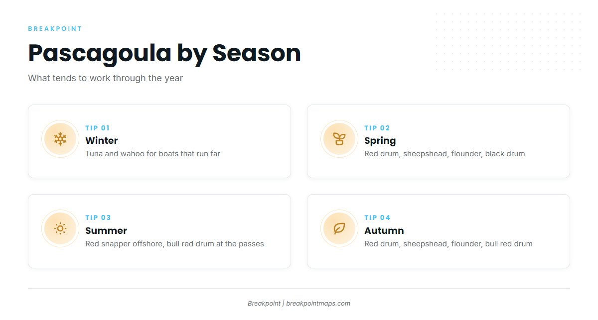
Tuna and wahoo are for boats that run far, out through Horn Island Pass. Fronts set the windows, so check the NWS Mobile forecast before you go.
Spring
Red drum, sheepshead, flounder and black drum work the island and inshore water. As the water warms, you can also find cobia along the beaches.
Summer
Red snapper is the main offshore draw. The season is set by an MDMR opening order, and every trip needs a Tails n’ Scales trip number and an Offshore Landing Permit. Check the MDMR red snapper page before fishing. Bull red drum show around the islands and passes. Hurricane season overlaps summer, so keep the forecast in front of you.
Autumn
Red drum, sheepshead, flounder, black drum and bull red drum fill the island and inshore water. Fronts shape the trip days, so check the forecast and PTBM6 before you commit to a pass.