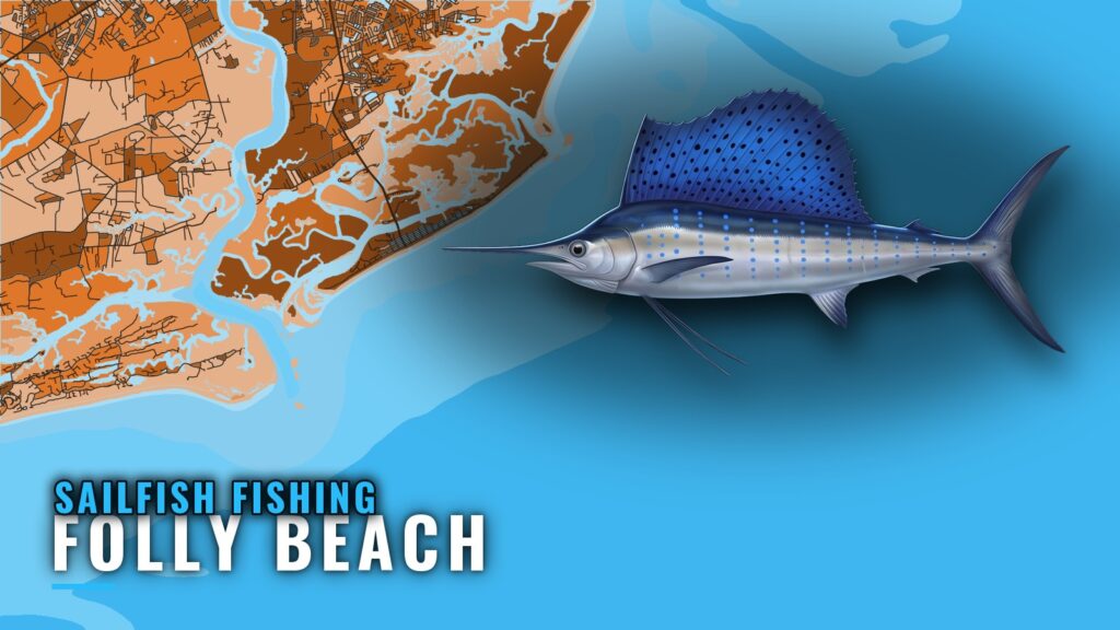
Sailfish fishing out of Folly Beach comes down to two months and a long run. July and August are the best billfish months, the method is trolling, and the Gulf Stream edge starts around 70 miles offshore. This page covers when to go, how far to run, which named structure sits between the beach and the edge, and who lists sailfish here.
When Sailfish Are Off Folly Beach
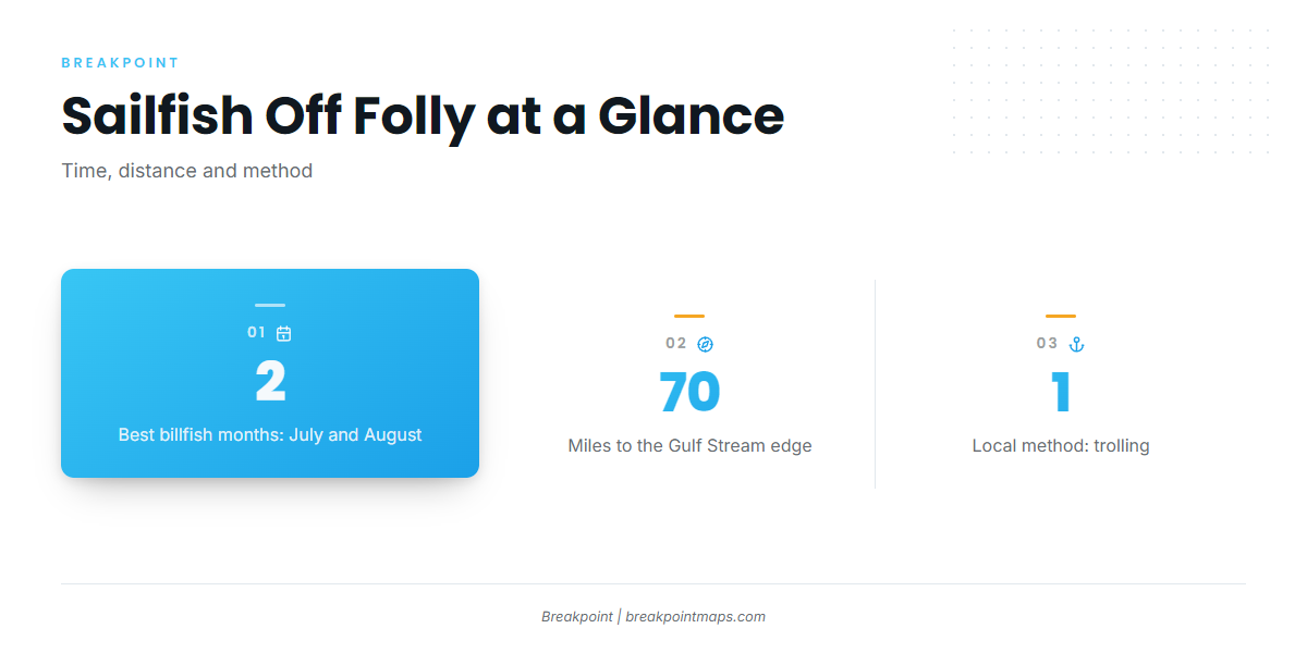
The window is short, and it sets everything else about the trip.
July and August
The Folly Beach port guide names July and August as the best billfish months, so plan the run inside that window.
The summer window
The Atlantic Breeze Charters listing places sailfish in summer, which matches. The regional guide covers how the Southeast coast’s fish move through the year (see also the Atlantic Southeast offshore fishing guide) in more detail.
| Window | Source |
|---|---|
| July and August | Best billfish months, per the Folly guide |
| Summer | Atlantic Breeze Charters listing |
Where Boats Run
Distance is the second decision. Folly boats run to deeper offshore water for sailfish, and the edge is a long way out.
Deeper offshore water
The nearshore structure listed below sits on the way out. The sailfish water lies beyond it.
The Gulf Stream edge at around 70 miles
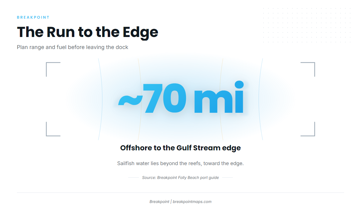
The Gulf Stream edge begins around 70 miles offshore. On your own boat, a run of around 70 miles each way means settling range and fuel before you leave the dock.
Check wind, wave height and period in the official NWS marine forecast before the run, then make the call based on your own boat.
Grounds and Structure Near Folly Beach
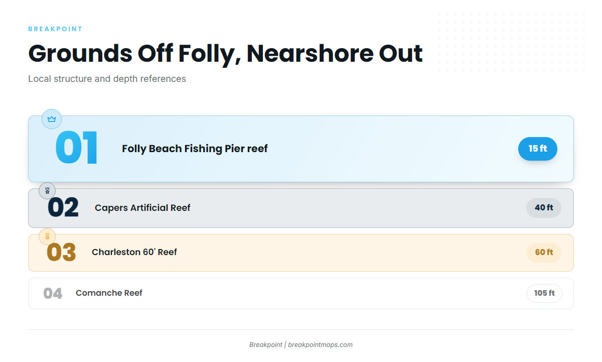
These are the local structure and depth references off Folly, ordered from nearshore out. Several are part of South Carolina’s artificial reef program. The sailfish run is to deeper offshore water toward the Gulf Stream edge, so the reefs below serve as references along the way and are not sailfish holding water.
| Ground | Depth | Position |
|---|---|---|
| Folly Beach Fishing Pier artificial reef | 15 ft | |
| Morris Island Lighthouse area | A short boat ride north of Folly Beach | |
| Charleston Harbor Jetties | At the Charleston Harbor inlet | |
| Capers Artificial Reef | 40 ft | About 12 miles east of the Charleston Harbor Jetties |
| Charleston 60′ Reef | 60 ft | About 15 miles offshore |
| Comanche Reef | 105 ft | Farther offshore than the Charleston 60′ Reef |
| Gulf Stream edge | Begins around 70 miles offshore |
Folly Beach Fishing Pier artificial reef
The reef sits in 15 ft of water and is the nearshore reference point on this list.
Morris Island Lighthouse area
The area is a short boat ride north of Folly Beach. It works as a landmark rather than a depth reference.
Charleston Harbor Jetties
The jetties sit at the Charleston Harbor inlet and are the reference point for locating Capers Artificial Reef.
Capers Artificial Reef
Capers sits in 40 ft of water, about 12 miles east of the Charleston Harbor Jetties.
Charleston 60′ Reef
The reef sits in 60 ft of water, about 15 miles offshore.
Comanche Reef
Comanche sits in 105 ft of water, farther offshore than the Charleston 60′ Reef. The sailfish water lies beyond these grounds, toward the edge.
Chart layers are not for navigation.
How Sailfish Are Fished Here
Spreads and baits are covered elsewhere; this section only names the method.
Trolling
Trolling is the local method for billfish. For spreads and baits, see the sailfish guide.
Who Fishes for Sailfish Out of This Port
Two operators list sailfish near Folly Beach, and only one of them sails from the Folly area.
For more on how billfish trips run from other ports, see the wider billfish guides.
Atlantic Breeze Charters
The operator lists sailfish among its summer species. Its listing is on the Atlantic Breeze Charters fishing trips page.
Stovepipe Fishing
Stovepipe Fishing runs from Bohicket Marina and serves Kiawah and Seabrook. Its boat is a 2005 45-foot Cabo sportfisher. It is not a Folly Beach operator.
FAQ on Sailfish Fishing Out of Folly Beach
When is the best time for sailfish off Folly Beach?
July and August are the best billfish months, and the local charter listing places sailfish in summer.
How far offshore do boats run?
Boats run to deeper offshore water, and the Gulf Stream edge begins around 70 miles offshore.
What structure is near Folly Beach?
The named grounds, nearshore out, are:
- Folly Beach Fishing Pier artificial reef, 15 ft
- Capers Artificial Reef, 40 ft
- Charleston 60′ Reef, 60 ft
- Comanche Reef, 105 ft
The Charleston Harbor Jetties sit at the harbor inlet, and the Morris Island Lighthouse area is a short boat ride north of Folly Beach.
How are sailfish fished here?
By trolling.
Which charters list sailfish?
Atlantic Breeze Charters lists sailfish. Stovepipe Fishing runs from Bohicket Marina for Kiawah and Seabrook and is not a Folly Beach operator.