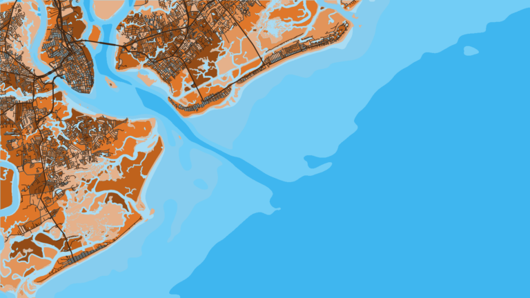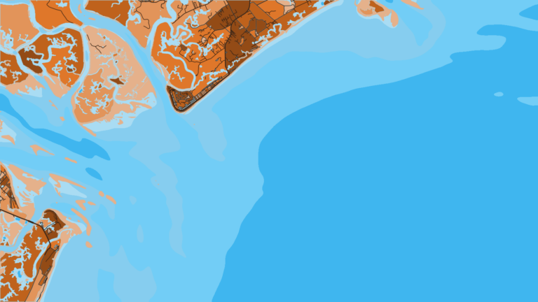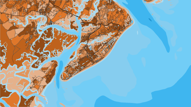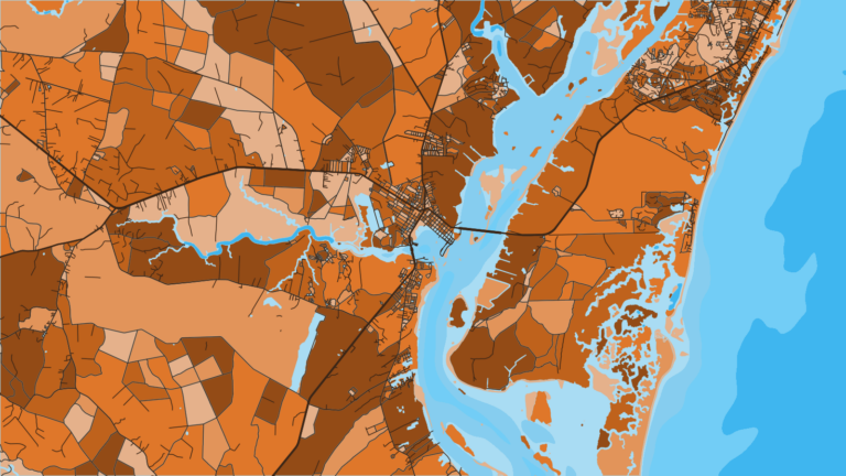

About Folly Beach
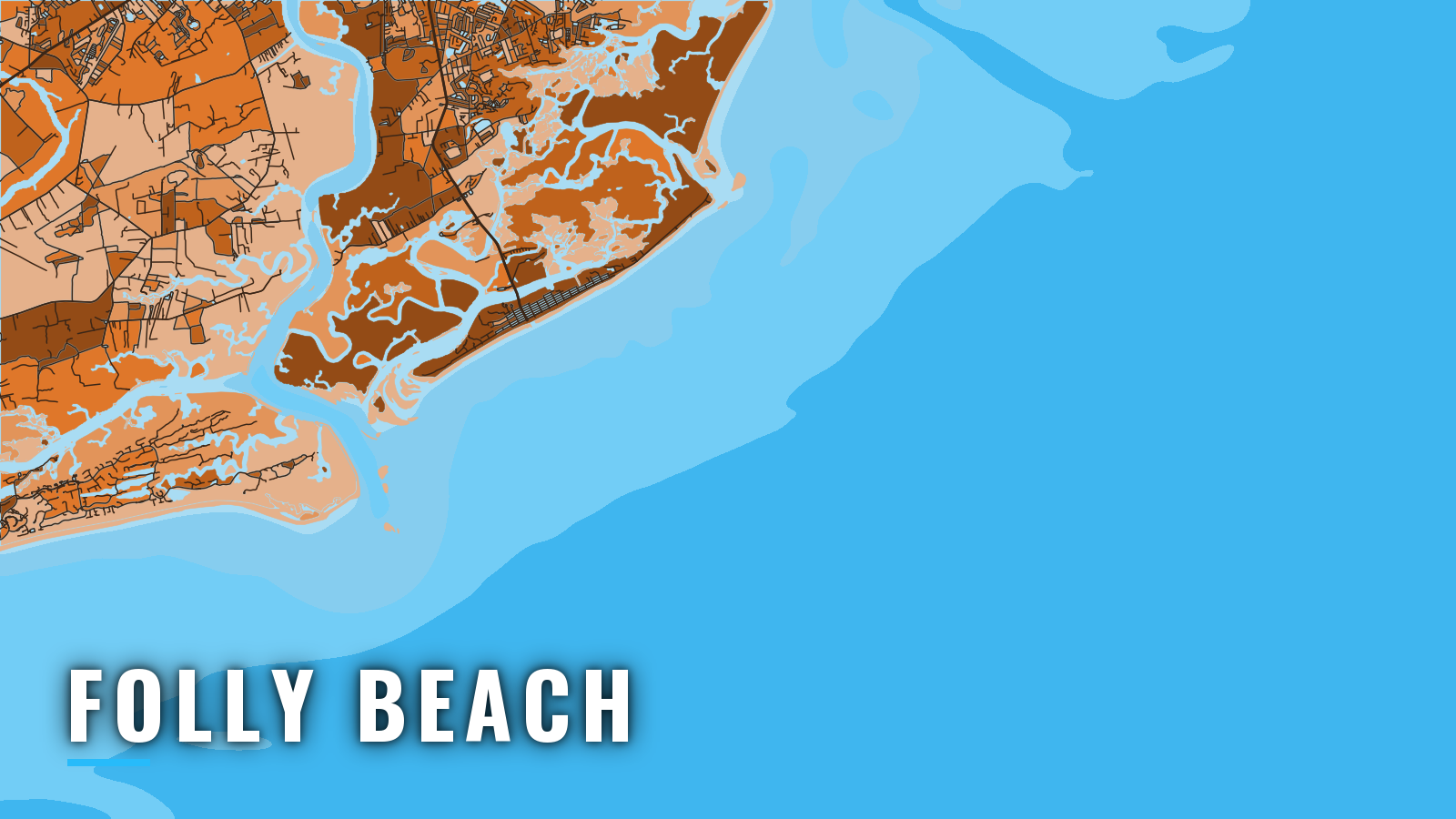
Offshore fishing out of Folly Beach, SC starts with a run down the Folly River and out through Stono Inlet, between Folly Island and Kiawah Island. Boats from Bohicket Creek, Kiawah and Seabrook use the North Edisto River entrance instead.
Bottom fishing on the nearshore reefs runs year-round. Cobia and king mackerel arrive in spring and again in autumn, per the SCDNR seasonal lists. Anglers here target black sea bass, grouper, cobia, king mackerel and amberjack, and the Gulf Stream beyond the shelf holds the pelagic fish.
Check the South Carolina regulations page and the SCDNR saltwater fishing regulations before you fish.
Access and navigation
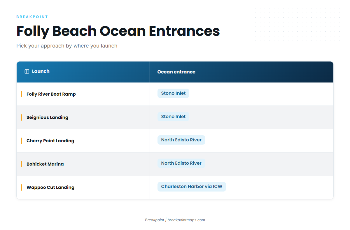
The landings below serve Folly Beach and the nearby rivers. Some reach the ocean by different entrances.
- Folly River Boat Ramp (Center Street) – the island’s public boat landing on the Folly River.
- John F. Seignious (Folly River) Landing – Charleston County landing on the Folly River.
- Battery Island (Sol Legare) Landing – Charleston County landing.
- John P. Limehouse Landing – Charleston County landing.
- Richard E. Seabrook (Wappoo Cut) Landing – Charleston County landing that reaches Charleston Harbor by the Intracoastal Waterway.
- Cherry Point Landing (Bohicket Creek) – Charleston County landing. Boats here use the North Edisto River entrance.
- Folly Marina Boat Ramp – private landing.
- Bohicket Marina & Market – marina on Bohicket Creek with fuel listed. It uses the North Edisto River entrance.
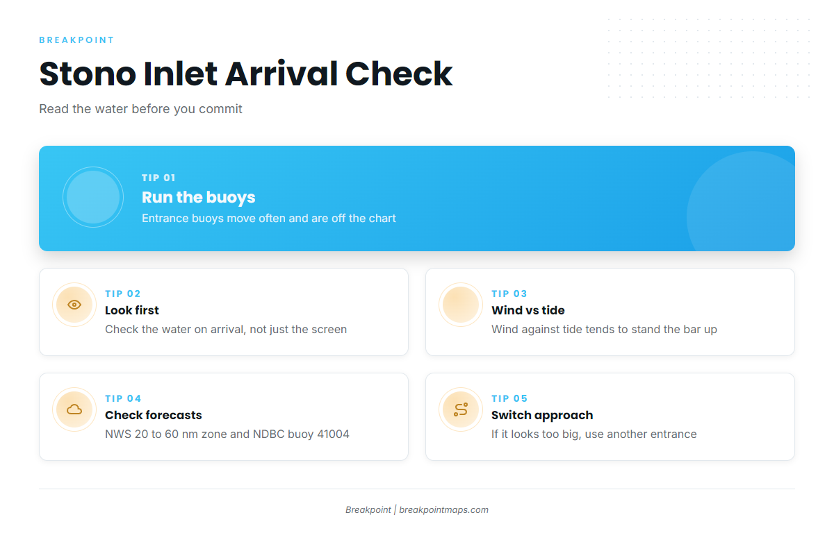
Stono Inlet is crossed over a shifting bar between Folly Island and Kiawah Island. According to NOAA Coast Pilot 4, the entrance buoys are moved often to mark the best water, so they are left off the chart. Run the buoys you see, not the ones on your screen. The best water can move between trips, and wind against tide tends to stand the bar up.
The buoyed Folly River channel runs about 2.3 miles from the junction at Bird Key and changes continually, so markers might not sit where you last saw them.
There are two alternatives to Stono Inlet. Stono Inlet is 10 miles southwest of the Charleston Harbor entrance, and Folly Beach boats can reach the harbor by the Intracoastal Waterway, as Wappoo Cut boats do. Bohicket boats use the North Edisto River entrance, about 10 miles southwest of Stono Inlet. Shoals reach as much as 3 miles offshore and form a shifting bar. A lighted buoy and a 314° lighted range mark the way in, and breakers define the entrance. On the bar the current runs across the channel: the flood sets about west and the ebb about east, both with considerable velocity. Inside the bar, the ebb can set across the north breakers.
Waters east and southeast of Charleston Harbor see heavy U.S. Navy surface, subsurface and aircraft training.
On arrival, look at the water before you commit. Then check the NWS Charleston marine forecast, including the 20 to 60 nm zone for offshore runs, and NDBC buoy 41004 EDISTO. Forecasts miss, so if the water looks bigger than you want, switch approaches.
Fishing conditions
The Charleston Nearshore Reef sits in 30 ft of water. Morris Island waters lie to the north. Both appear in the SCDNR artificial reef program.
Deeper structure lies farther out on the shelf, and beyond the shelf sit the Gulf Stream and the Charleston Bump. The Atlantic Southeast fishing guide covers the wider region.
Winter
Winter off Folly Beach is bottom fishing for black sea bass, grouper and sheepshead. Work the Charleston Nearshore Reef, and deeper structure for grouper. Snapper-grouper gear rules require a descending device and circle hooks, so check the agency page linked above.
Spring
Spring brings cobia, amberjack, king and Spanish mackerel, and bluefish, alongside black sea bass. Fish the nearshore reef for mackerel and cobia, and deeper structure for amberjack. State-waters cobia rules split at 32°31.0′ N, so check the cobia rules by zone before you keep fish.
Summer
Summer reef fishing holds black sea bass, snapper and grouper, with barracuda, crevalle jack and shark around the structure. Mahi and wahoo are Gulf Stream fish beyond the shelf.
Autumn
Autumn brings cobia and king mackerel back to the nearshore water off Folly Beach. The Charleston Nearshore Reef is the place to start. In Breakpoint, OBS SST, Chlorophyll and Chart Contours show where the shelf edge meets the Gulf Stream break. Chart layers are not for navigation.