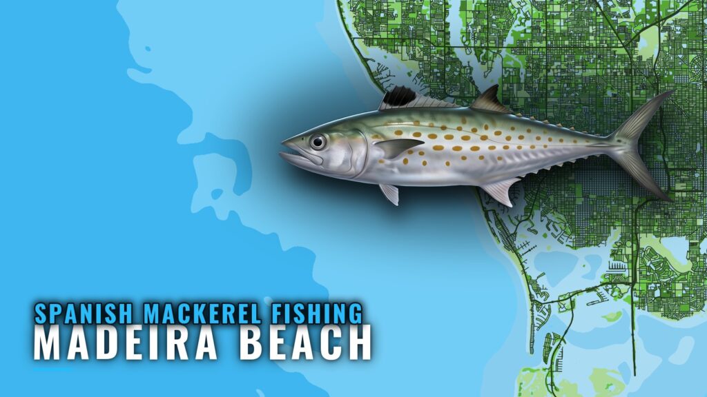
Spanish mackerel fishing out of Madeira Beach is a spring and fall fishery, and the structure starts right at the pass. The Old Salt King of the Beach holds events in both seasons. The numbers below are FWC reef coordinates, depths, and one tournament boundary measured from the John’s Pass Safe Water Marker. If you run your own boat out of Madeira Beach, this guide covers when the fish are around, how far boats run, which reefs make useful waypoints, how the tournament gear rules shape local fishing, and who fishes for them here.
When Spanish mackerel are around Madeira Beach
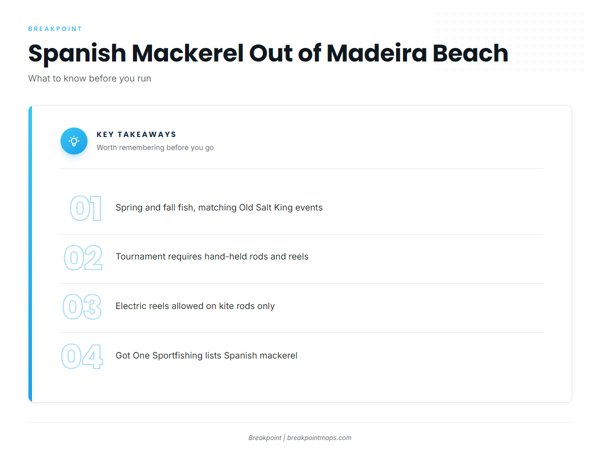
Spanish mackerel show up in spring and fall. The Old Salt King of the Beach runs a spring and a fall event, and Spanish mackerel are weighed at the Spring King. That calendar is the one local marker worth planning around.
For general timing and behavior, read the Spanish mackerel species guide. Check the official marine forecast for wind and wave numbers before you go.
- Spring: Spring King event, weigh-in for Spanish mackerel
- Fall: Fall event on the same Old Salt King of the Beach calendar
Where boats run from John’s Pass
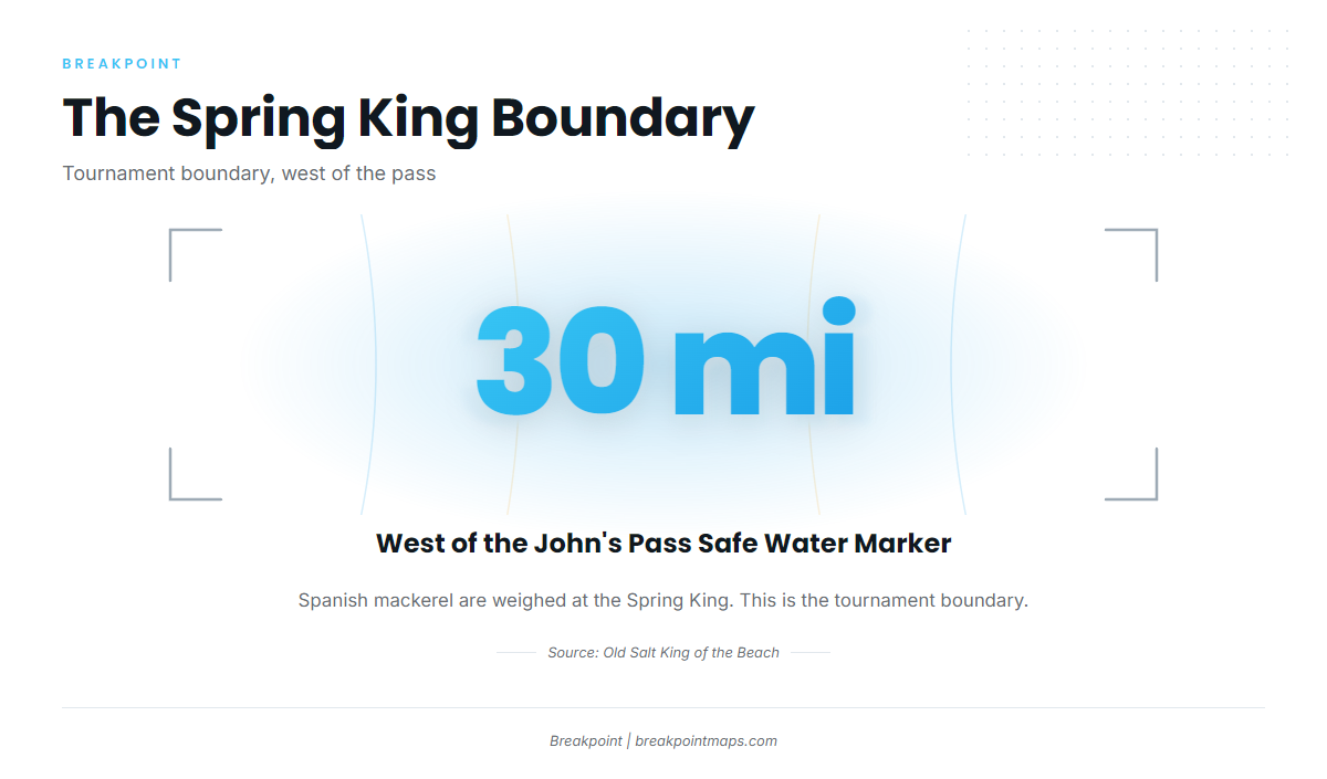
Boats leave through John’s Pass. The one run distance available comes from the tournament: the Spring King sets its west boundary about 30 miles west of the John’s Pass Safe Water Marker, and Spanish mackerel are weighed there.
The structure closest to the pass comes first in the next section. For the wider Gulf picture, see the Gulf of Mexico regional guide (see also the wider Gulf of Mexico guide).
Grounds and structure near Madeira Beach
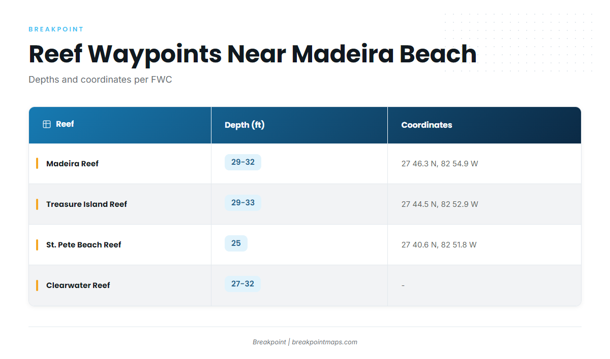
The coordinates and depths below are from FWC. Chart layers and coordinates are not for navigation, so verify every waypoint against the official chart before you run to it.
| Name | Depth (ft) | Coordinates (FWC) | Structure |
|---|---|---|---|
| Madeira Reef (Madeira Beach Reef) | 29-32 | 27 46.3 N, 82 54.9 W | Concrete culverts |
| Treasure Island Reef | 29-33 | 27 44.5 N, 82 52.9 W | Concrete culverts |
| St. Pete Beach Reef | 25 | 27 40.6 N, 82 51.8 W | – |
| Clearwater Reef | 27-32 | – | – |
John’s Pass jetty and bridge
The jetty and bridge sit at the pass, the first structure you meet on the way out.
Madeira Reef, Treasure Island Reef and St. Pete Beach Reef
Madeira Reef sits in 29-32 ft at 27 46.3 N, 82 54.9 W per FWC, built from concrete culverts. Treasure Island Reef lies south of it in 29-33 ft at 27 44.5 N, 82 52.9 W per FWC, also concrete culverts. St. Pete Beach Reef is the southernmost of the three, in 25 ft at 27 40.6 N, 82 51.8 W per FWC.
Clearwater Reef
Clearwater Reef lies to the north in 27-32 ft.
The Elbow and the Middle Grounds
Longer trips from this port go to these grounds, though they are not listed here as Spanish mackerel grounds. The offshore trips run in 120-250 ft, which is a trip range rather than a measured depth for The Elbow. Hubbard’s runs a 39-hour trip to the Middle Grounds, 100 to 150 miles offshore. The coastal and offshore gamefish guides cover what anglers chase on those runs.
How Spanish mackerel are fished and who fishes them
Local fishing follows the tournament calendar and a small set of gear rules.
Tournament gear
The tournament requires hand-held rods and reels, with electric reels allowed only on kite rods. This is a tournament rule, not law.
Old Salt King of the Beach
The Old Salt King of the Beach runs spring and fall events, and Spanish mackerel are weighed at the Spring King, whose west boundary sits about 30 miles west of the John’s Pass Safe Water Marker.
Charters
Got One Sportfishing charters, run by Capt. Brian Simmons, list Spanish mackerel.
FAQ: Spanish mackerel fishing out of Madeira Beach
When do Spanish mackerel run off Madeira Beach?
Spring and fall, matching the Old Salt King of the Beach spring and fall events.
What are the Madeira Reef coordinates?
27 46.3 N, 82 54.9 W per FWC, in 29-32 ft, built from concrete culverts. Verify against the official chart before you run to it.
How far is the Spring King boundary?
The west boundary is about 30 miles west of the John’s Pass Safe Water Marker.
Are electric reels allowed in the tournament?
Only on kite rods. All other tournament fishing is with hand-held rods and reels.
Is there a local charter for Spanish mackerel?
Got One Sportfishing, run by Capt. Brian Simmons, lists Spanish mackerel.