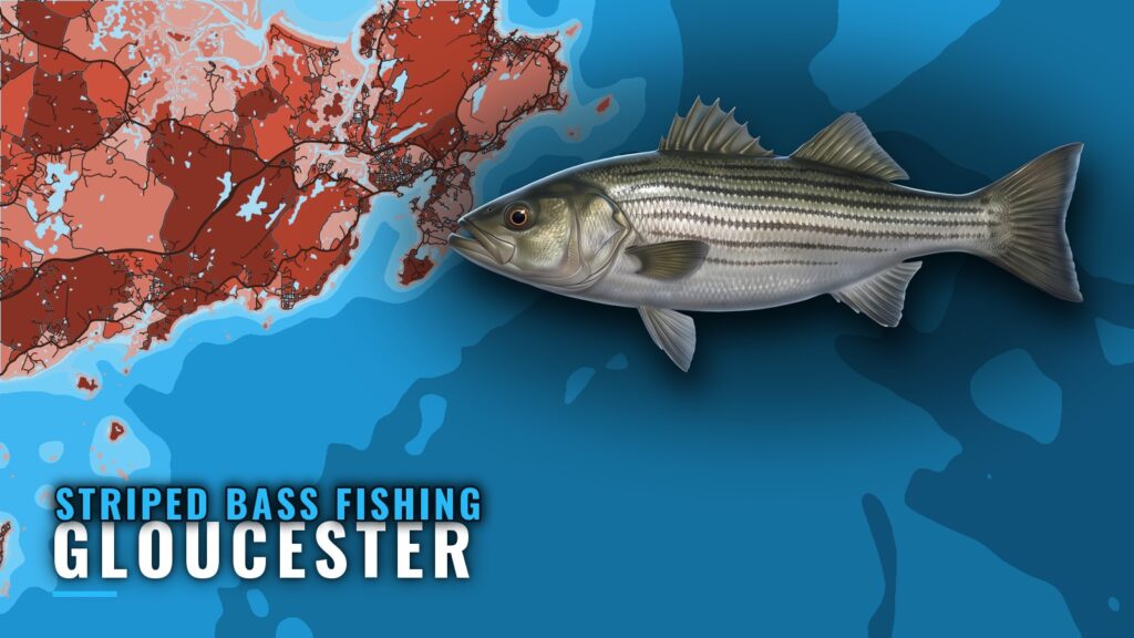
Striped bass fishing out of Gloucester runs mostly inshore, along the rocky shore and islands of Cape Ann, with Gloucester Harbor and the Annisquam River close at hand. This guide covers the named grounds with depths, the methods local operators list, the buoy that reads Massachusetts Bay, and the charters that list stripers. Harbor entrance and port details are in the Gloucester port guide. The aim is to help you decide where to look, not to promise fish.
Striper Season Out of Gloucester
Tuna Hunter and Coastal run striper trips through the season. Operator trip pages show their own schedules, so check them when you plan. For migration and regional timing, see striped bass in the Atlantic Northeast (see also the Atlantic Northeast fishing guide).
Where Boats Run for Striped Bass
Local striper trips are inshore. The offshore banks are the deeper structure covered in the next section.
Gloucester Harbor and the Annisquam River
Tuna Hunter’s site says its trips also move through Gloucester Harbor and the Annisquam River. These are the closest waters to the dock. The harbor opens south, and the river runs inside Cape Ann.
Cape Ann Rocky Shore and Islands
The inshore grounds run along the rocky shore and islands of Cape Ann, where most of the local striper effort is concentrated.
Half-Day Range
Coastal Fishing Charters’ striper trips are half days of 4 hours or more. That is the time scale local trips work within, and it keeps a trip on the inshore water.
Grounds and Structure Near Gloucester
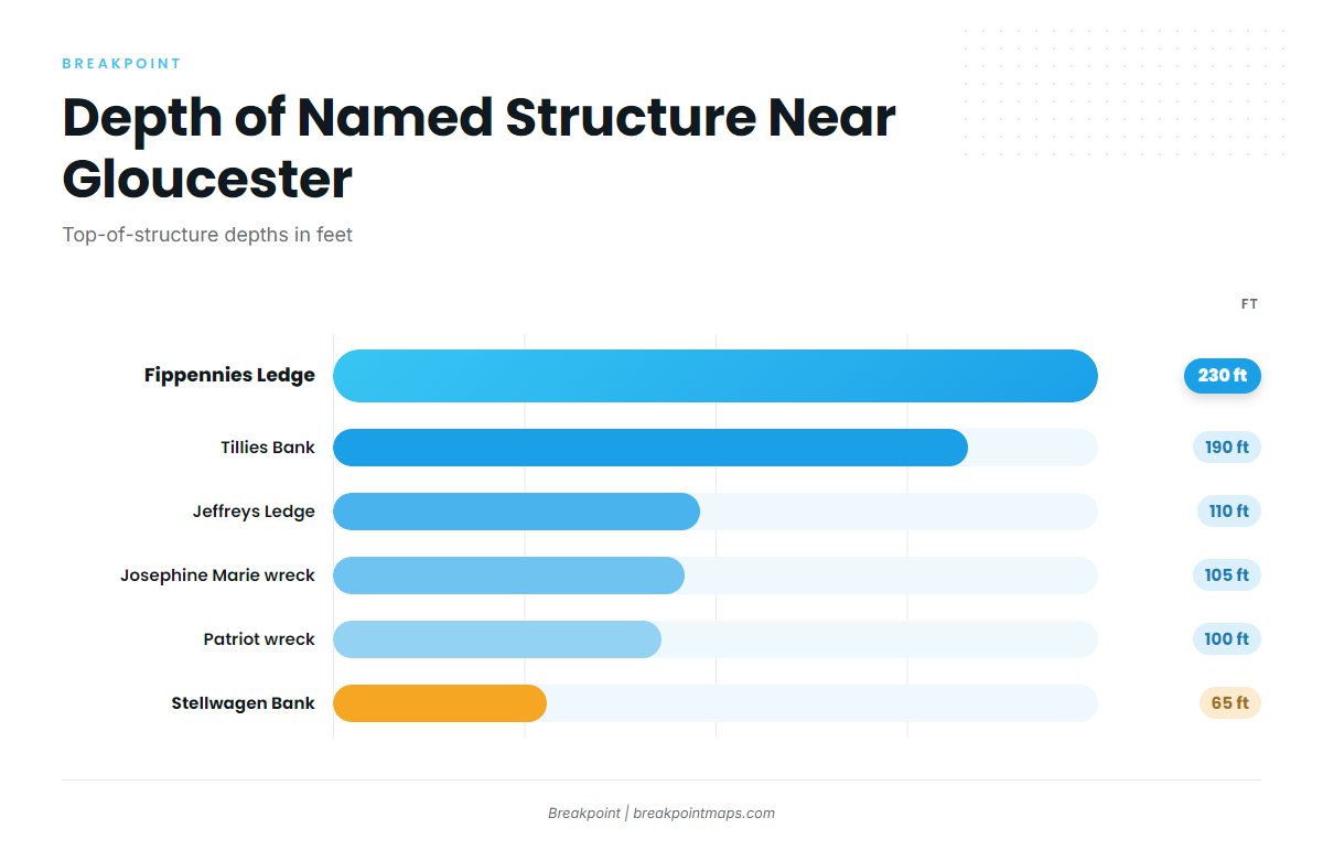
These are the named banks, ledges and wrecks near Gloucester, from the 65 ft top of Stellwagen Bank down to 230 ft on Fippennies Ledge. They are the deeper structure on the map, not striper spots. The coastal and offshore gamefish guides cover the other species fished on this structure.
| Name | Depth (ft) | Location note |
|---|---|---|
| Stellwagen Bank | 65 | Sanctuary bank between Cape Ann and Cape Cod |
| Patriot (fishing vessel wreck) | 100 | Northwest corner of Stellwagen Bank |
| Josephine Marie (fishing vessel wreck) | 105 | Southern end of Stellwagen Bank |
| Unidentified trawler wreck with mooring | 105 | On Stellwagen Bank, 105 to 110 ft |
| Heroic (former minesweeper, fishing vessel wreck) | – | – |
| Jeffreys Ledge | 110 | – |
| Tillies Bank | 190 | East of Cape Ann, highest spots about 190 ft |
| Fippennies Ledge | 230 | – |
These contours show on the Chart Contours layer in Breakpoint. Chart layers are not for navigation.
Stellwagen Bank and Its Wrecks
Stellwagen Bank tops out around 65 ft between Cape Ann and Cape Cod, and it is a sanctuary bank. Four wrecks sit on or near it. The Patriot lies at the northwest corner and the Josephine Marie at the southern end. An unidentified trawler wreck with a mooring sits on the bank at 105 to 110 ft. The Heroic is a former minesweeper and fishing vessel wreck.
Jeffreys Ledge
Jeffreys Ledge sits at 110 ft.
Tillies Bank and Fippennies Ledge
Tillies Bank lies east of Cape Ann, with its highest spots about 190 ft. Fippennies Ledge sits at 230 ft.
Reading Conditions at Buoy 44013
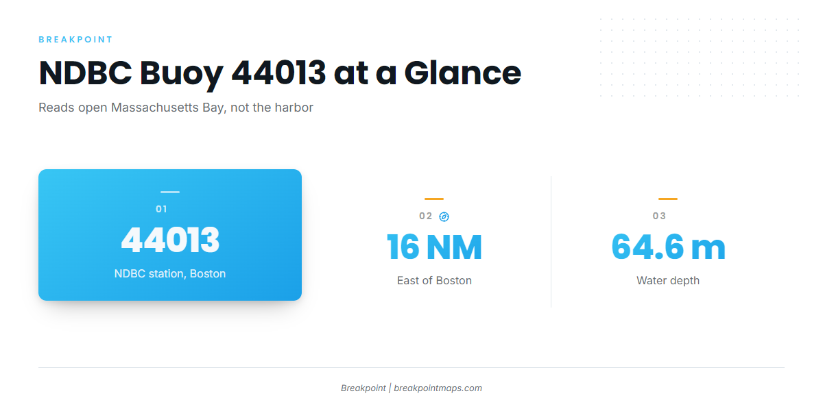
NDBC station 44013 data comes from the Boston buoy, 16 NM east of Boston at 42.346 N 70.651 W, in 64.6 m of water. Check it for wind, wave height and period before you run, and read the numbers as they are.
The buoy sits offshore and south of Cape Ann. It reads open Massachusetts Bay, not the harbor or the river, so conditions inside Cape Ann will differ from what it reports.
How Stripers Are Fished Locally, and Who Fishes Here
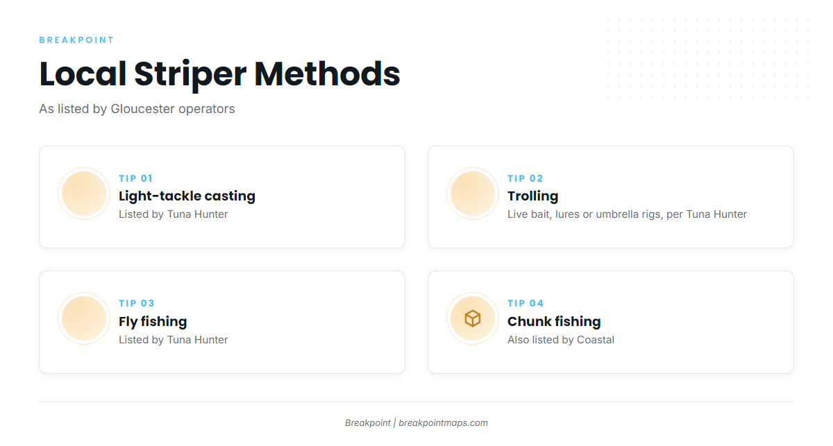
Every method below is listed by a local operator, and each is attributed. For technique and biology, use the striped bass fishing guide. This page does not repeat the basics.
Light-Tackle Casting
Tuna Hunter lists light-tackle casting, which suits the inshore water along the Cape Ann shore and islands.
Trolling Live Bait, Lures and Umbrella Rigs
Tuna Hunter lists trolling live bait, lures or umbrella rigs.
Fly Fishing
Tuna Hunter also lists fly fishing.
Chunk Fishing
Coastal also lists chunk fishing.
Gloucester Striper Charters
A Gloucester striper charter from any of these operators shows the methods above at work. Each one lists striped bass:
- Tuna Hunter Fishing Chartersboat named Tuna Hunter. Captain Gary, per the operator’s own site.
- Tuna Tail Chartersthe operator site describes the vessel as a custom 36-foot boat.
- Coastal Fishing ChartersCaptain Nick Danikas, per the operator’s rates page.
- Karen Lynn ChartersCapt Collin MacKenzie signs the operator’s posts.
- Endurance Charters out of GloucesterCaptain Frank Cullati.
FAQ
Where does striped bass fishing out of Gloucester happen?
Inshore along the rocky shore and islands of Cape Ann. Tuna Hunter also runs Gloucester Harbor and the Annisquam River.
Which methods do local charters use for stripers?
Tuna Hunter lists light-tackle casting, trolling live bait, lures or umbrella rigs, and fly fishing. Coastal also lists chunk fishing.
How long is a half-day striper trip?
Coastal Fishing Charters lists half days of 4 hours or more.
How deep is Stellwagen Bank?
Around 65 ft at its top. The wrecks on the bank sit at 100 to 110 ft.
Which buoy covers the area?
NDBC 44013, 16 NM east of Boston, in 64.6 m of water. It reads open Massachusetts Bay, not the harbor.
Which Gloucester charters list striped bass?
Tuna Hunter, Tuna Tail, Coastal, Karen Lynn and Endurance Charters.