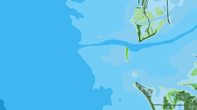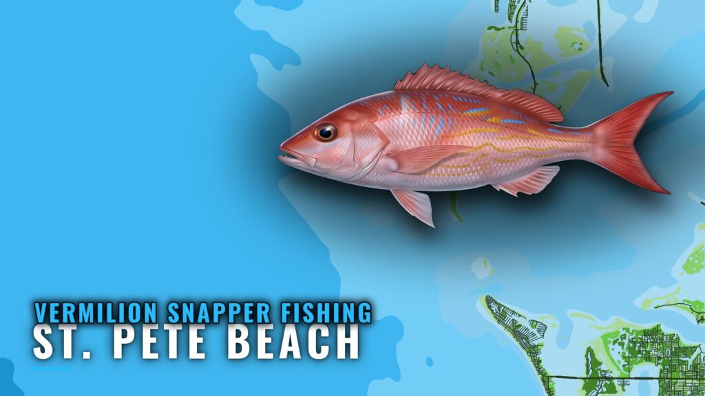
Vermilion snapper fishing out of St. Pete Beach means bottom fishing on offshore structure, reached on full-day trips. This guide covers where boats run, the named grounds near St. Pete Beach sorted by depth, how vermilion are fished here, who runs trips, and which buoy to check before you go. Timing and habits are in the vermilion snapper species guide. Use this page to decide where to drop. For the wider coast, see the vermilion snapper fishing in the Gulf of Mexico and the wider Gulf of Mexico guide.
Where boats run from St. Pete Beach
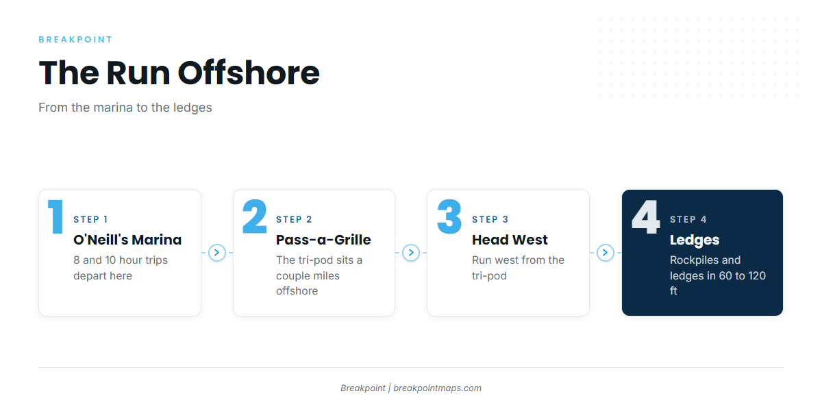
Vermilion here are fished on offshore structure rather than the nearshore reefs, and the run takes a full day.
The run west from the tri-pod
The Pass-a-Grille tri-pod sits a couple miles offshore from Pass-a-Grille and is the reference point for the offshore run. From the tri-pod, head west to the Pass-a-Grille ledges and rockpiles in 60 to 120 feet. The Pass-a-Grille Jetty, at the southwest tip of Pass-a-Grille, is a shoreline landmark on the way out.
Full-day trips from O’Neill’s Marina
Reel Coquina’s 8 and 10 hour trips leave O’Neill’s Marina and reach offshore structure. If you run your own boat, plan for a full day as well.
Grounds and structure near St. Pete Beach
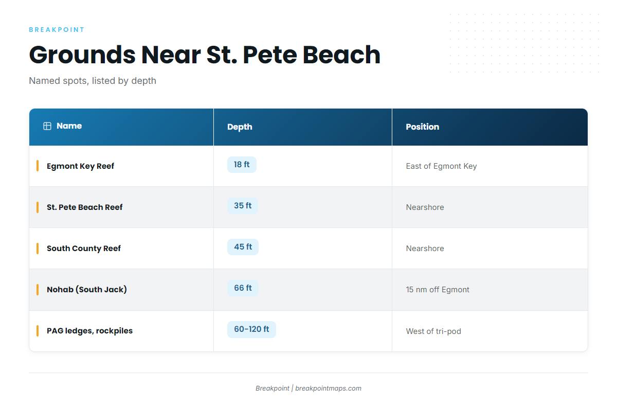
These are the named grounds near the port. The vermilion fishing happens at the offshore end of the list.
| Name | Depth | Position note |
|---|---|---|
| Egmont Key Reef (listed as Egmont Reef) | 18 ft | Just inside Tampa Bay, east of Egmont Key |
| St. Pete Beach Reef | 35 ft | |
| South County Reef | 45 ft | |
| Nohab (South Jack Wreck) | 66 ft | About 15 nautical miles off Egmont Key |
| Pass-a-Grille ledges and rockpiles | 60 to 120 ft | Offshore; head west from the tri-pod |
| Pass-a-Grille tri-pod | A couple miles offshore from Pass-a-Grille | |
| Pass-a-Grille Jetty | Southwest tip of Pass-a-Grille | |
| Merry Pier pilings |
Offshore ledges and wrecks
The Pass-a-Grille ledges and rockpiles run 60 to 120 feet, west of the tri-pod. Nohab (South Jack Wreck) rests in 66 feet, about 15 nautical miles off Egmont Key. The full-day trips work this kind of bottom.
Nearshore reefs and landmarks
St. Pete Beach Reef (35 ft) and South County Reef (45 ft) are the close-in reefs. Egmont Key Reef (18 ft) sits just inside Tampa Bay, east of Egmont Key. The jetty, the tri-pod and the Merry Pier pilings serve as landmarks and inshore context.
For the broader regional picture, see the reef fish guides.
How vermilion snapper are fished here
The local method is bottom fishing on offshore structure. Some anglers call the fish beeliners.
Bottom fishing offshore structure
You drop to the bottom on ledges, rockpiles and wrecks in the offshore range. This is the method listed locally, and the one this page covers.
Who fishes them from this port
Reel Coquina Fishing Charters lists vermilion snapper. Captain Pablo Koch-Schick runs Orion, a 29 ft and 37 ft Sea Vee, on 8 and 10 hour trips from O’Neill’s Marina.
Reading conditions at buoy 42098
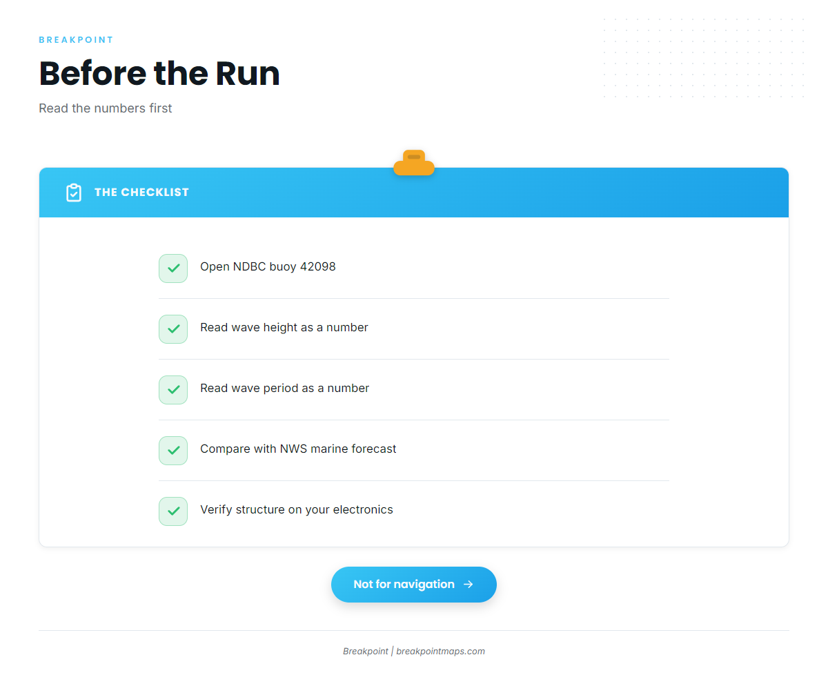
The nearest NOAA buoy is NDBC station 42098, Egmont Channel Entrance, FL, a waverider buoy at 27.590 N, 82.931 W. Before the run, read wave height and period as numbers and compare them with the National Weather Service marine forecast.
- Wave height: the size of the seas at the buoy.
- Wave period: the time between crests.
- Forecast: the official National Weather Service marine forecast for your zone.
Chart layers and published positions are not for navigation. Verify structure on your own electronics.
FAQ
How far do boats run for vermilion from St. Pete Beach?
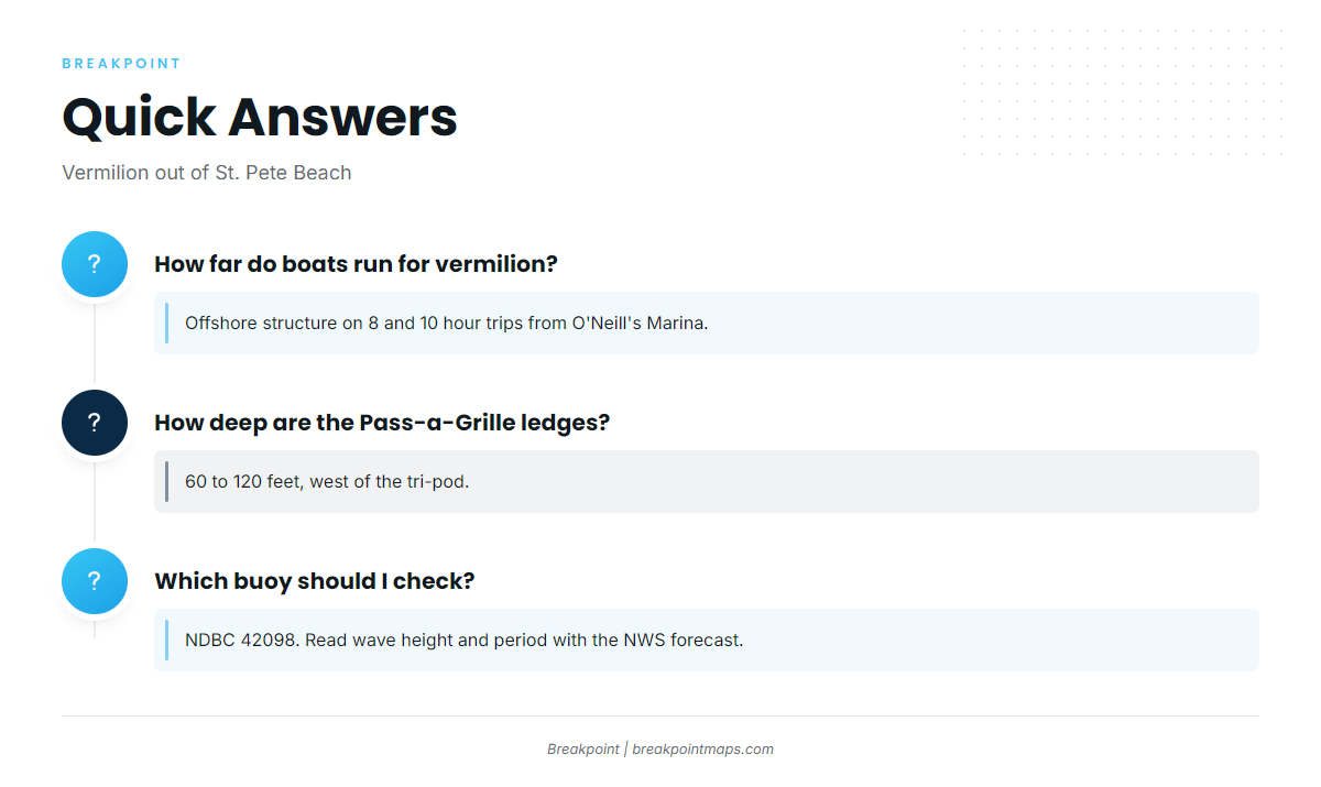
Boats run to offshore structure, reached on 8 and 10 hour trips from O’Neill’s Marina. The ledges lie west of the tri-pod.
How deep are the Pass-a-Grille ledges?
The ledges and rockpiles lie in 60 to 120 feet, west of the tri-pod, which sits a couple miles off Pass-a-Grille.
Where is the Nohab wreck?
Nohab (South Jack Wreck) rests in 66 feet, about 15 nautical miles off Egmont Key.
Which buoy should I check before the run?
Check NDBC station 42098, Egmont Channel Entrance. Read wave height and period alongside the National Weather Service marine forecast.
When are vermilion around St. Pete Beach?
Timing is covered in the species guide. This page keeps to the grounds and the method.