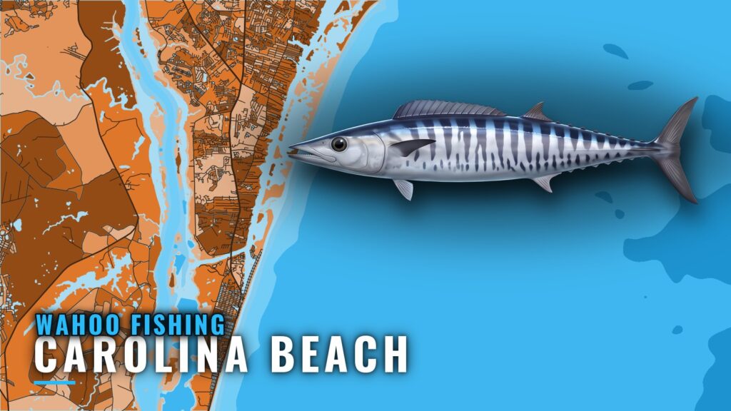
Wahoo fishing out of Carolina Beach is offshore trolling, and the decision that matters most gets made before you leave the dock: where the water is right. This guide covers what to read before the run and what to look for once you arrive, so you can pick a better place to start. For biology, tackle and the general season, see our species-wide wahoo fishing guide.
When wahoo are off Carolina Beach
Timing follows water temperature rather than the calendar. The regional season and Gulf Stream picture (see also the wider Atlantic Southeast guide) is covered on the Atlantic Southeast page, so this section sticks to signals you can read yourself.
Three things set up the trip:
- Warm, clean water. Wahoo follow it, and so does the bait.
- A near-shelf reading. A buoy gives you the baseline.
- An offshore reading. Satellite OBS SST shows what lies between the shelf and the Gulf Stream.
Water temperature is the signal
A temperature break is where bait stacks up, and predators work along it. A buoy reads the nearshore water; satellite OBS SST reads offshore, out toward the Gulf Stream. No single reading tells you the fish are there, but together they show where to start looking.
Reading buoy 41013
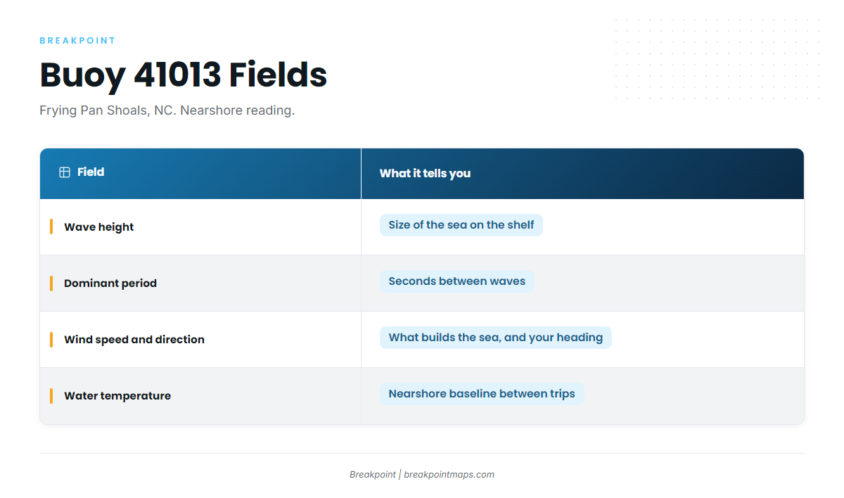
NOAA’s National Data Buoy Center runs station 41013, Frying Pan Shoals, NC. It sits at 33.436 N, 77.764 W, in 30.8 m of water (about 101 ft).
Because the buoy sits on the shelf, its water temperature is a nearshore reading and says little about the Gulf Stream. Use it as a proxy for what you cross on the way out, not for the whole run.
| Field | What it tells you |
|---|---|
| Wave height | The size of the sea on the shelf, in feet or meters as reported |
| Dominant period | Seconds between waves. Compare it with the height, because the same height at a shorter period means a steeper sea |
| Wind speed and direction | What is building the sea, and how it lines up with your heading out and back |
| Water temperature | The nearshore baseline, which shows whether the shelf water is warming or cooling between trips |
Compare the buoy against the official NWS marine forecast. The buoy is one point in time, while the forecast covers what is coming.
Where boats run offshore
Offshore trips run out of Carolina Beach, with the troll aimed at blue water toward the Gulf Stream.
Choose the destination from that day’s OBS SST and contours instead of a fixed waypoint. Look for where a temperature edge meets bottom relief, then build the run around it. For getting out and local conditions, see the Carolina Beach port page.
Structure that holds wahoo
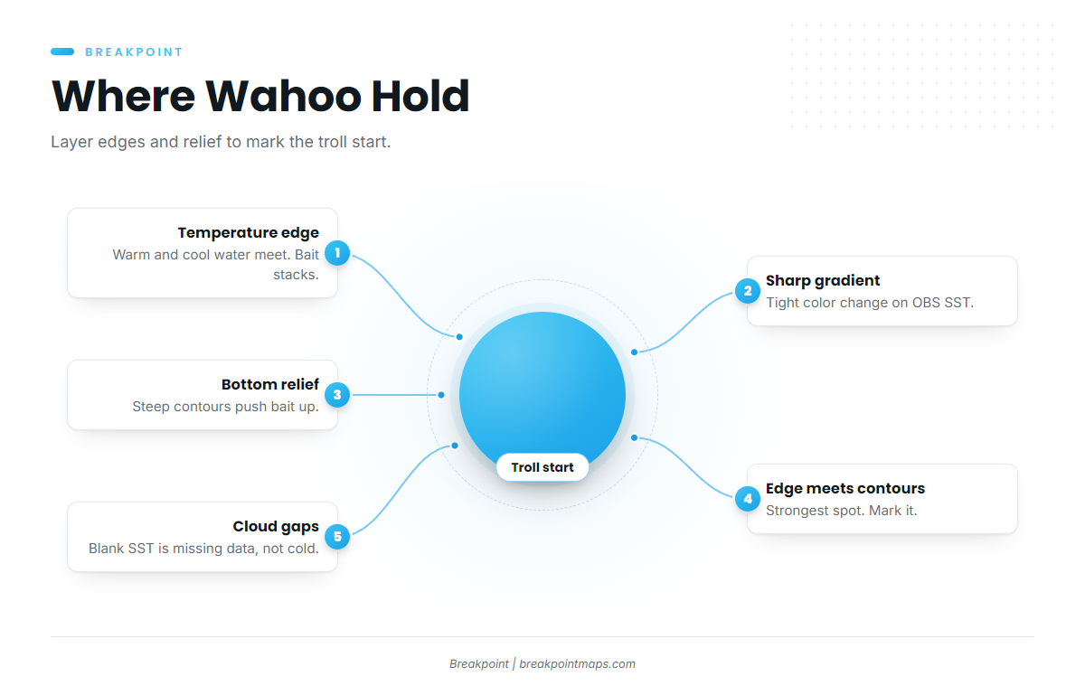
Two features do most of the work. A temperature edge gathers the bait, and bottom relief pushes current and bait up. Where they cross is a place worth a pass.
Temperature edges
An edge is where warmer and cooler water meet. On the OBS SST layer it shows as a tight band where the color changes quickly over a short distance. Look for a sharp gradient rather than just the warmest patch.
Cloud can block SST passes, and a blank area is missing data, not cold water. Compare passes from the last few days before you trust a single image.
Bottom relief and contours
The strongest spots are where a temperature edge crosses steep contours. Turn on Chart Contours over OBS SST and look for places where the color break runs along or across tightly spaced contour lines. Mark those as the start of your troll. Chart layers are not for navigation.
How wahoo are fished from this port
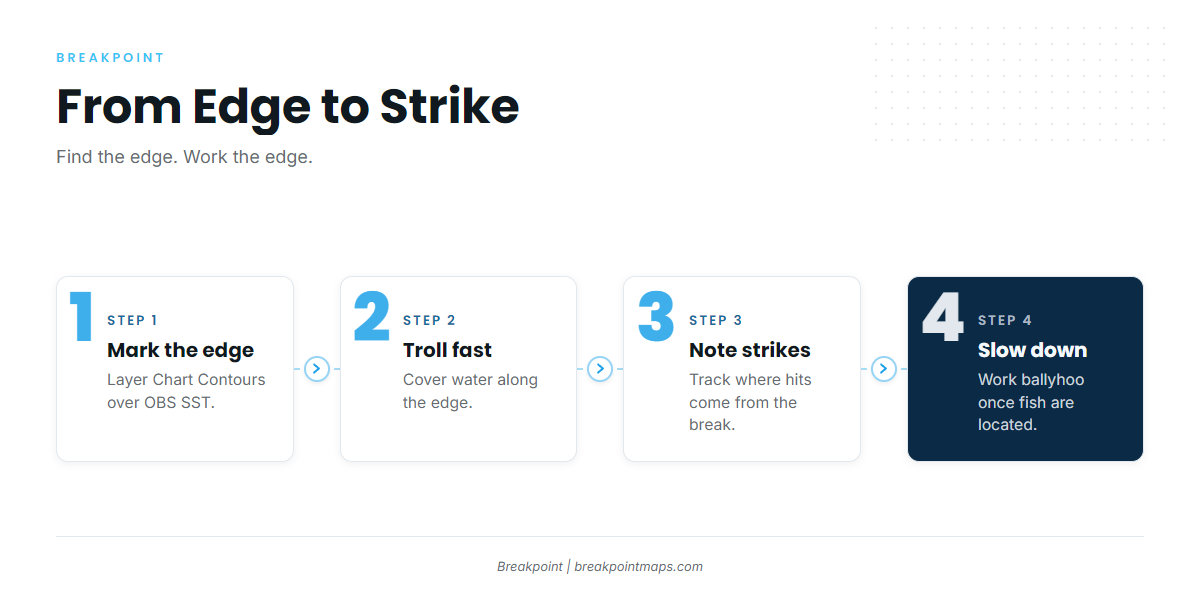
Trolling is how you find and work the edge you just marked. The same spread picks up other offshore species on the same troll.
Trolling to cover ground
High-speed trolling covers a lot of water quickly, which suits searching along an edge. Slower trolling with ballyhoo works once you have located fish.
Troll parallel to the edge and along the contour line you marked. Note where strikes come from relative to the break, then work that side again.
Leaders and teeth
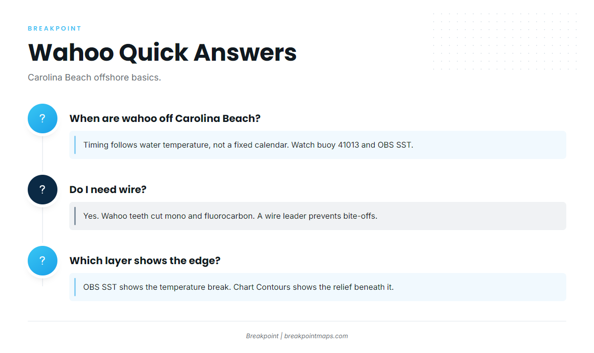
Wahoo teeth cut monofilament and fluorocarbon, so run a wire leader to prevent bite-offs. Keep your hands clear of the jaws once the fish is aboard.
Who fishes for wahoo out of Carolina Beach
Wet N Wild Sportfishing lists wahoo. It runs the 54 ft custom ‘Wet N Wild’, its flagship, and the 31 ft Contender ‘No Mercy’. Details are on the Wet N Wild Sportfishing site.
If you run your own boat, watching a crew work a spread is a fast way to learn how it is set and how leaders are handled.
FAQ: wahoo fishing out of Carolina Beach
When are wahoo off Carolina Beach?
Timing follows water temperature, not a fixed calendar. Watch buoy 41013 and OBS SST for the warm, clean water that holds bait.
Which buoy should I check?
NDBC 41013 Frying Pan Shoals, at 33.436 N, 77.764 W, in 30.8 m of water. Read wave height, dominant period, wind and water temperature. Treat it as a nearshore reading and compare it with the official forecast.
How far do boats run?
Offshore trips run out of Carolina Beach toward blue water and the Gulf Stream. The day’s destination comes from where the OBS SST edge meets the contours.
Do I need wire?
Yes. Wahoo teeth cut mono and fluorocarbon, so a wire leader prevents bite-offs.
Is there a charter that targets wahoo?
Wet N Wild Sportfishing lists wahoo, with the 54 ft ‘Wet N Wild’ and the 31 ft Contender ‘No Mercy’.
Which layer shows the edge?
OBS SST shows the temperature break. Chart Contours shows the bottom relief beneath it. Chart layers are not for navigation.