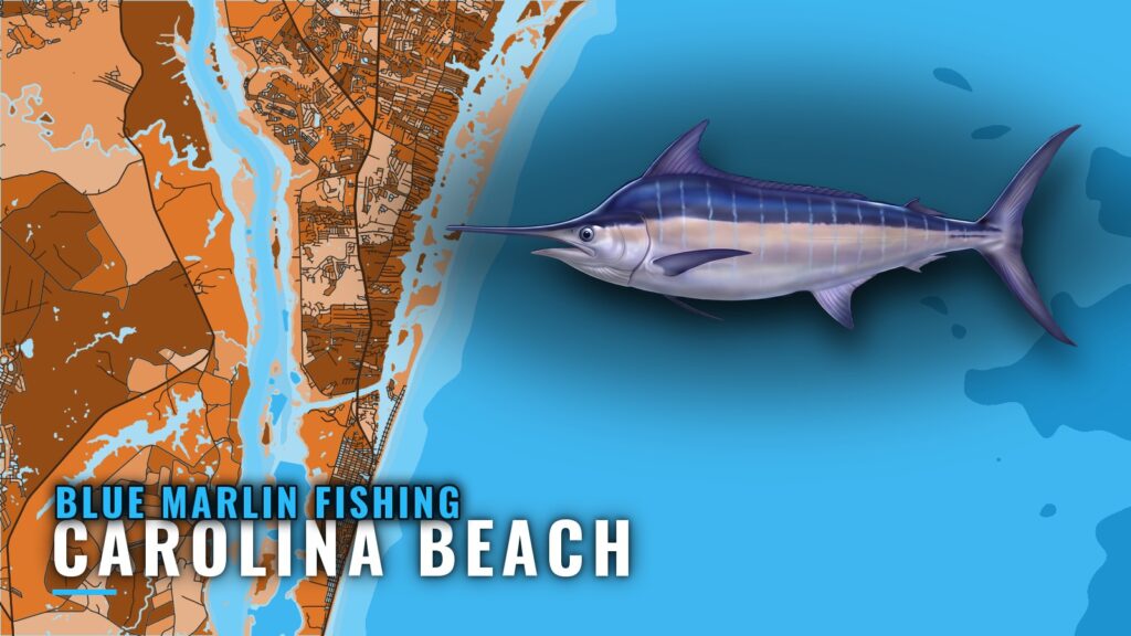
Blue marlin fishing out of Carolina Beach means a run to the Gulf Stream, and the benchmark local trip is 13 hours. This guide covers the run, how to read the Stream edge, the buoy to check before you go, and who fishes here. For access and conditions sources at the port, see the Carolina Beach port guide. For the species-wide picture, including when blues show up and how they are trolled, see our blue marlin guide.
The run from Carolina Beach to the Gulf Stream
Offshore trips run out of Carolina Beach, and the Gulf Stream is where the blue marlin are. The planning below applies when you run your own boat.
The 13-hour trip
The 13-hour trip is the one that reaches the Gulf Stream, so use it as the effort benchmark for this port. A day built around it includes the run out, the fishing hours and the run home. For timing and structure along the coast, see Gulf Stream blue marlin off the Southeast (see also the wider Atlantic Southeast guide).
Planning it on your own boat
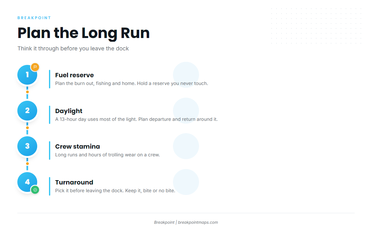
Four things decide whether the run works on your own boat:
- Fuel reserve. Plan the burn for the run out, the fishing hours and the run home, then hold a reserve you don’t touch.
- Daylight. A day built like a 13-hour trip uses most of the light, so set your departure and return around it.
- Crew stamina. A long run, hours of trolling and a long run home wear on a crew. Plan for that before you leave the dock.
- Turnaround. Pick your turnaround time before you leave the dock and keep it, whether or not the bite is on.
Finding blue marlin in the Gulf Stream
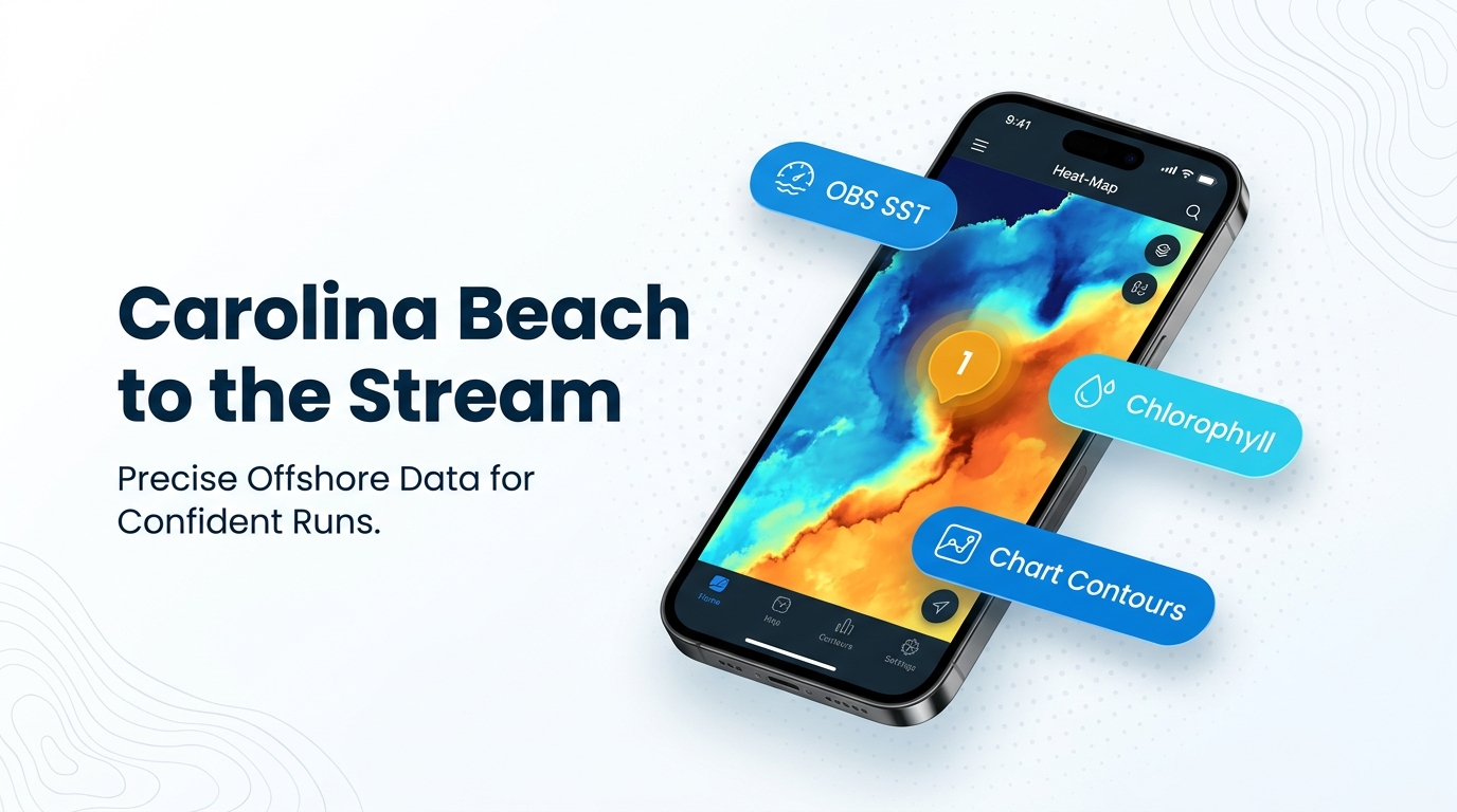
Marlin follow the Stream’s edge, and the data shows where that edge sits on a given day. Boats troll the edge, so the job is to find where the signals stack.
Reading the edge
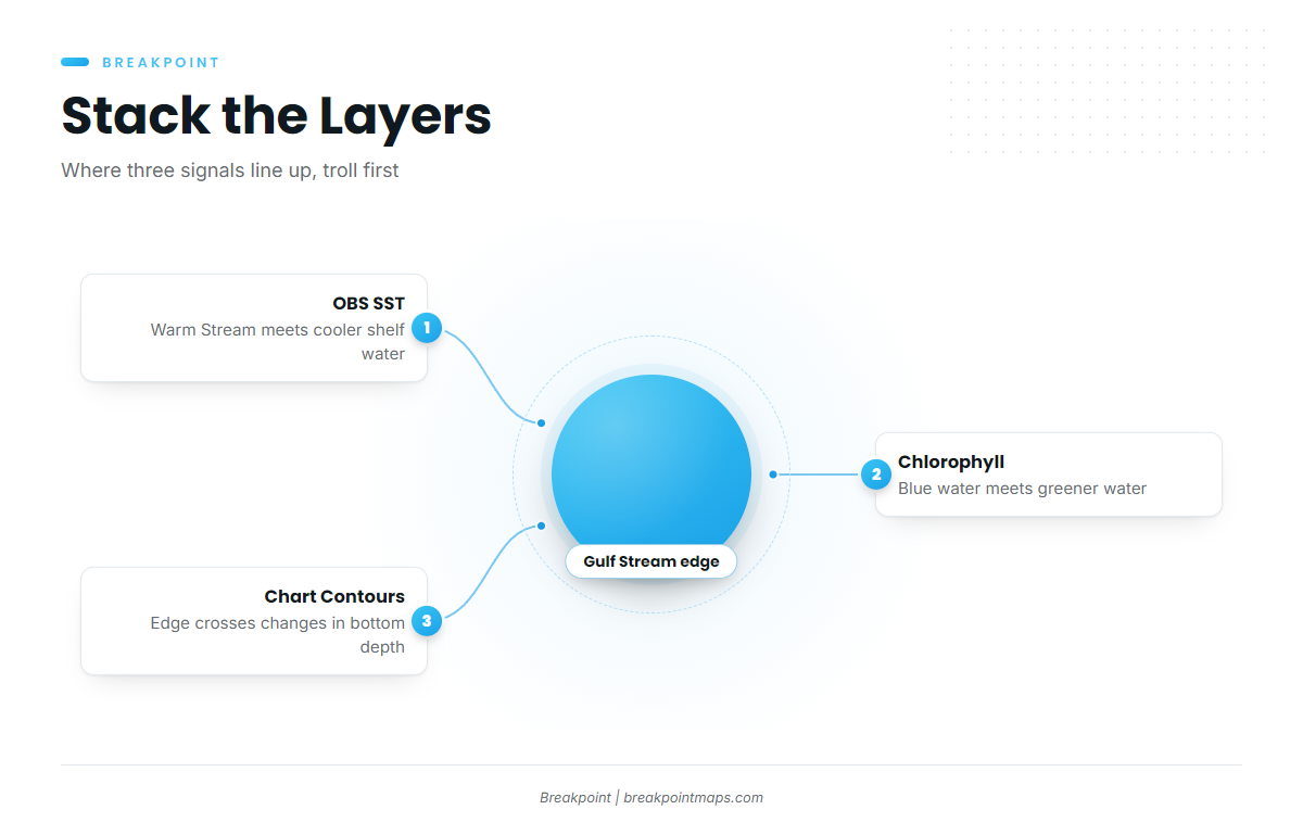
Three layers do the work, in this order:
- OBS SST shows where warm Stream water meets cooler shelf water, and how tight that break is.
- Chlorophyll shows where blue water meets greener water. The color change often lines up with the temperature break.
- Chart Contours show where that edge crosses changes in bottom depth.
Look for places where the temperature break, the color change and bottom relief coincide. Troll there first, then work the edge.
Each layer has limits. Cloud can block an SST pass, and a gap in the image is missing data, not cold water. Check the age of the pass before you trust it. The layers can’t promise fish, but they help you decide where to look.
Chart layers are not for navigation
Chart Contours and every other app layer are for fishing decisions only. Navigate on official charts and your own electronics.
Checking conditions before the run
Check NOAA’s National Data Buoy Center before you commit to the run, and pair it with the official NWS marine forecast for the coastal waters off Carolina Beach.
NDBC 41013 Frying Pan Shoals
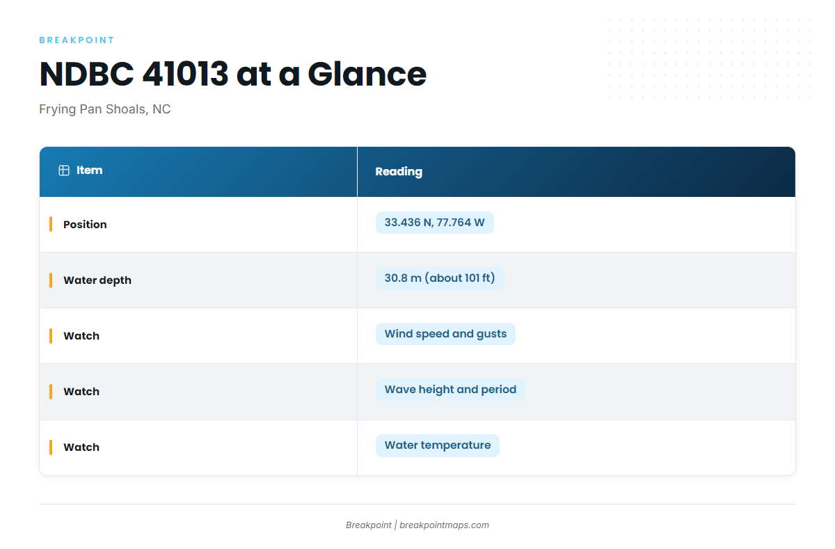
NDBC 41013 is the NOAA buoy to check before the run. It reports conditions on the shelf at Frying Pan Shoals.
NDBC 41013 Frying Pan Shoals, NC
- Position: 33.436 N, 77.764 W
- Water depth: 30.8 m (about 101 ft)
- What to read: wind speed and gusts, wave height, dominant wave period, water temperature
Read the trend across several hours rather than a single report. Watch wave height together with dominant period, since the same height on a short period builds a different sea than on a long one.
What the buoy cannot see
Buoy 41013 sits in about 101 ft of water, well inshore of the Gulf Stream. It reports the water you cross, not the water you fish, and it is a single point. Conditions in the Stream can differ from the shelf, especially where current runs against wind. A difference like that is a reason to check the forecast, not a prediction of what you’ll find, so pair the buoy with the official NWS marine forecast.
Who fishes for blue marlin out of Carolina Beach
Charter captains work the Stream from this port. A day aboard is one way to see how a local crew approaches it before you plan the run on your own boat.
Wet N Wild Sportfishing
Wet N Wild Sportfishing is a Carolina Beach charter that lists blue marlin. It runs two boats:
- 54 ft custom ‘Wet N Wild’ (flagship)
- 31 ft Contender ‘No Mercy’
For more on comparing charters and captains, see these billfish fishing guides.
FAQ about blue marlin fishing out of Carolina Beach
How far do boats run for blue marlin from Carolina Beach?
Boats run to the Gulf Stream, and the benchmark local trip is 13 hours. For blue marlin fishing out of Carolina Beach on your own boat, plan a fuel reserve, build the day around daylight, and fix your turnaround before you leave the dock.
Which buoy should I check before the run?
Check NDBC 41013 Frying Pan Shoals at 33.436 N, 77.764 W, in 30.8 m (about 101 ft) of water. Read wind, wave height, dominant period and water temperature. It sits inshore of the Stream, so pair it with the NWS marine forecast.
Who runs blue marlin charters out of Carolina Beach?
Wet N Wild Sportfishing lists blue marlin. It runs the 54 ft custom ‘Wet N Wild’ (flagship) and the 31 ft Contender ‘No Mercy’.
When are blue marlin off Carolina Beach?
Timing follows the Gulf Stream and the movement of fish along the coast. The blue marlin guide and the Atlantic Southeast guide cover when blues show up and how that timing plays out off the Carolinas. Check conditions on the day, since the Stream edge moves.
Where are the blue marlin rules?
NOAA Fisheries Atlantic HMS sets the federal billfish rules, and the NC Division of Marine Fisheries sets the state rules. The federal billfish rules page and the North Carolina regulations page cover both. Check both before fishing.