When the fish are here
Timing on this page depends on water temperature more than on the calendar. The black sea bass guide covers how the fish respond to temperature through the year, so that material isn’t repeated here. Black sea bass fishing out of Carolina Beach is a bottom game for boats that run out Carolina Beach Inlet and fish hard structure. The Carolina Beach port page covers the inlet and getting out. For the wider coast, see the black sea bass fishing in the Atlantic Southeast and the Atlantic Southeast offshore fishing guide.
Sea bass are structure-bound bottom fish. Temperature changes how they behave on the structure as well as whether they are around, so a spot that holds fish one week can look different the next as the water shifts.
Reading water temperature at Frying Pan Shoals
NDBC 41013 Frying Pan Shoals, NC sits at 33.436 N, 77.764 W, moored in 30.8 m of water (about 101 ft). Its water temperature is a surface reading at one offshore point. It does not describe the bottom at your structure, the water at the inlet, or the water close to the beach. Watch the numbers over several days and read them as a trend, since a single reading tells you little.
How far boats run
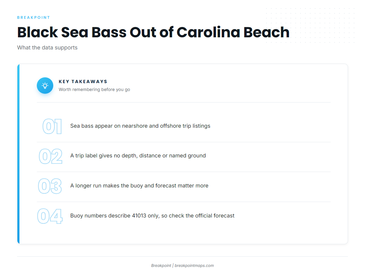
Wet N Wild Sportfishing lists black sea bass on both its nearshore and its offshore trips, so the fishery is not tied to one trip length. A trip label on a charter’s species list gives no depth, distance or named ground. It tells you the species shows up on both kinds of trip, not where.
| Trip type | What it costs you | What it gives you |
|---|---|---|
| Nearshore | Less fuel and less time running | More time on the anchor and more structure checked per trip |
| Offshore | More fuel and a longer weather window | The same species on the listing, with more commitment to the buoy read and the forecast |
Nearshore trips
A nearshore trip means less fuel and less running, which leaves more time on the anchor and more structure checked. Sea bass appear on the nearshore listing.
Offshore trips
A longer run commits more fuel and a longer weather window, so the buoy read and the forecast matter more. Sea bass appear on the offshore listing as well.
Reading the buoy before the run
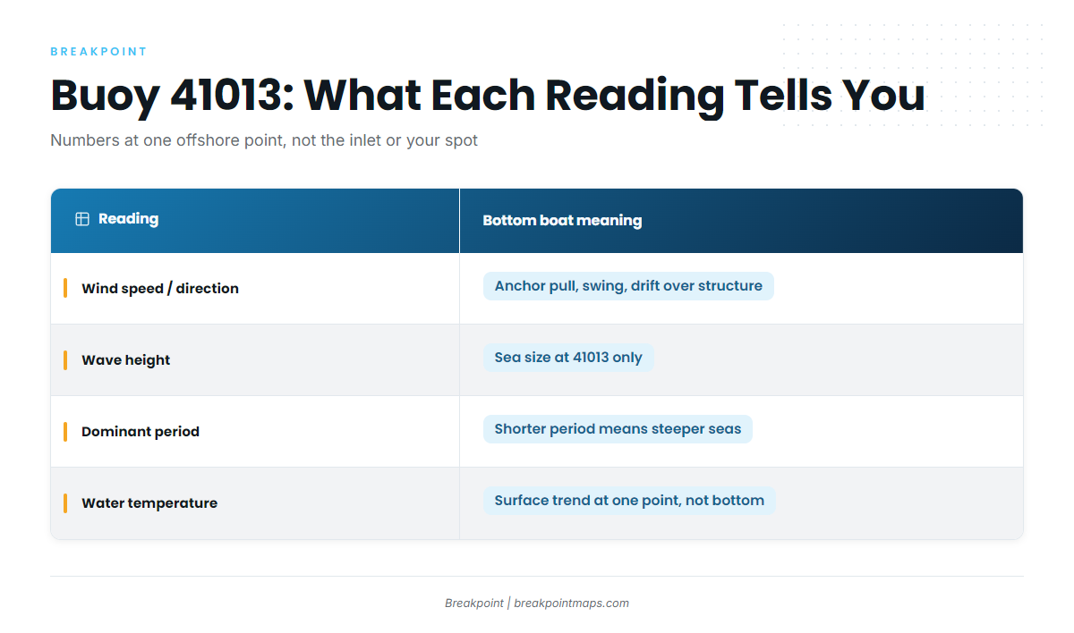
Before you commit to a run, check 41013 for wind speed and direction, wave height, dominant period and water temperature. Period matters as much as height for a bottom boat sitting on the anchor. At the same wave height, a shorter dominant period means steeper, closer-spaced seas, which changes how the boat rides at anchor and how well you hold over small structure.
Two limits apply. 41013 sits well offshore, so its numbers describe that point and not the inlet bar or the nearshore water. A forecast is also only a forecast, so compare the buoy with the NWS Wilmington marine forecast.
| Reading | What it tells a bottom boat |
|---|---|
| Wind speed / direction | How hard the boat pulls on the anchor and swings off the mark, and which way drift sets over structure |
| Wave height | The size of the sea at 41013, which is not the size at the inlet or nearshore |
| Dominant period | Spacing of the seas; at a given height, a shorter period means steeper motion at anchor |
| Water temperature | A surface trend at one offshore point; it says nothing about the bottom at your spot |
Compare the numbers with the official forecast and make your own call.
Structure and how it’s fished
Sea bass hold tight to hard structure, so covering small structure precisely matters more than covering a lot of water.
What holds sea bass
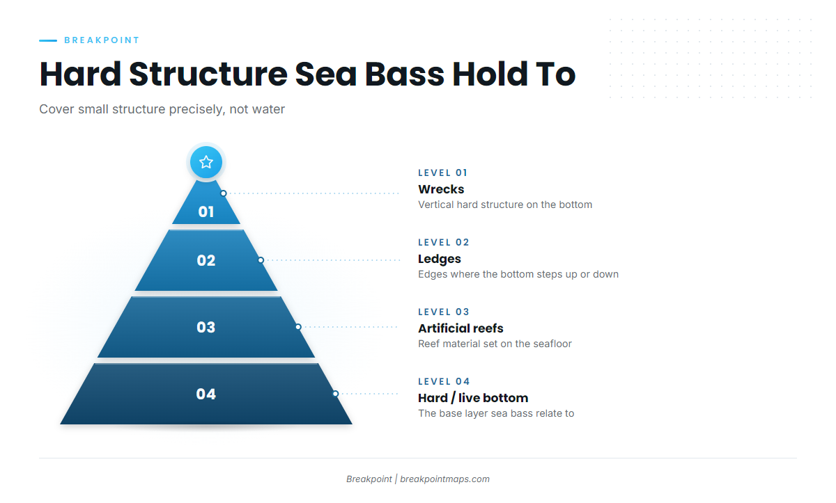
The structure types to look for are:
- Hard bottom and live bottom
- Ledges
- Wrecks
- Artificial reefs and reef material
Finding it on your own boat
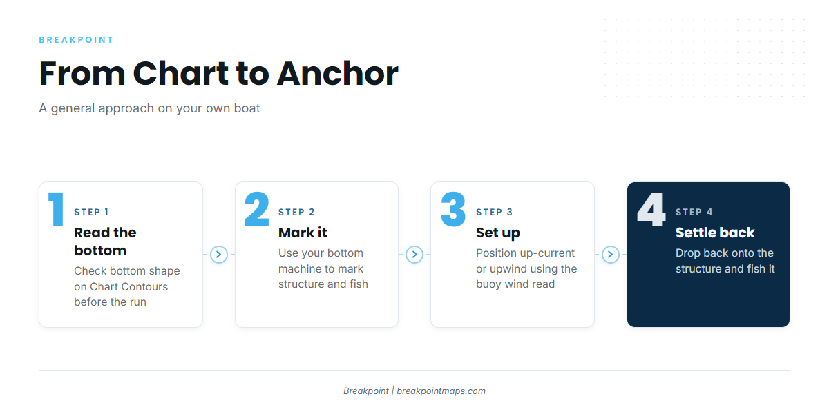
Use your bottom machine to mark structure and fish on it before you anchor. Set up up-current or upwind of the mark, using the wind you read from the buoy, and settle back onto it.
Reading bottom shape on Chart Contours before the run helps you choose which structure to check. Chart layers are not for navigation.
Rigs and bait
A high-low (dropper) rig with cut bait or squid is the standard bottom approach, with a jig as the alternative. Rigs, weights and technique detail are in the reef-fish fishing guides.
Who fishes black sea bass from this port
Wet N Wild Sportfishing lists black sea bass on its nearshore and offshore trips. It runs two vessels: the 54 ft custom ‘Wet N Wild’ (flagship) and the 31 ft Contender ‘No Mercy’. Its nearshore and offshore listings are one way to see how this fishery is set up before you run it yourself.
FAQ
Where do boats fish for black sea bass from Carolina Beach?
Black sea bass fishing out of Carolina Beach happens on hard structure: hard bottom, ledges, wrecks and artificial reefs. Wet N Wild lists sea bass on nearshore and offshore trips. A trip label gives no depth or distance, so your own bottom machine and the buoy read do the work.
Do I need to run offshore for sea bass?
No. Sea bass appear on both nearshore and offshore listings. The decision comes down to fuel, your weather window and the buoy numbers.
What buoy should I check before running out of Carolina Beach?
NDBC 41013 Frying Pan Shoals, at 33.436 N, 77.764 W, in 30.8 m (about 101 ft). Read wind, wave height, dominant period and water temperature. Its numbers describe that offshore point only, so check the NWS marine forecast too.
Who runs black sea bass trips out of Carolina Beach?
Wet N Wild Sportfishing, with the 54 ft custom ‘Wet N Wild’ and the 31 ft Contender ‘No Mercy’. It lists black sea bass on its nearshore and offshore trips.
Where are the black sea bass rules for this port?
NCDMF sets state rules, and black sea bass are part of the snapper-grouper complex. Check the North Carolina regulations page before fishing. Waters farther north are managed separately, and their federal rules are on a separate page.