When wahoo are off Clearwater
Wahoo fishing out of Clearwater is an offshore trip. The fish live past the nearshore reefs, and every distance and bearing on this page is measured from Clearwater Pass, the zero point for the run out of Clearwater.
This page covers where to read conditions, how the marks lay out on the run, and who fishes for wahoo from this port. It will help you plan a trip, but it can’t promise fish.
Where the timing lives
Seasonal timing and biology for wahoo are in the wahoo species guide, which covers the species year-round. The local call on any given day comes from the station at the beach.
Reading CWBF1 before you go
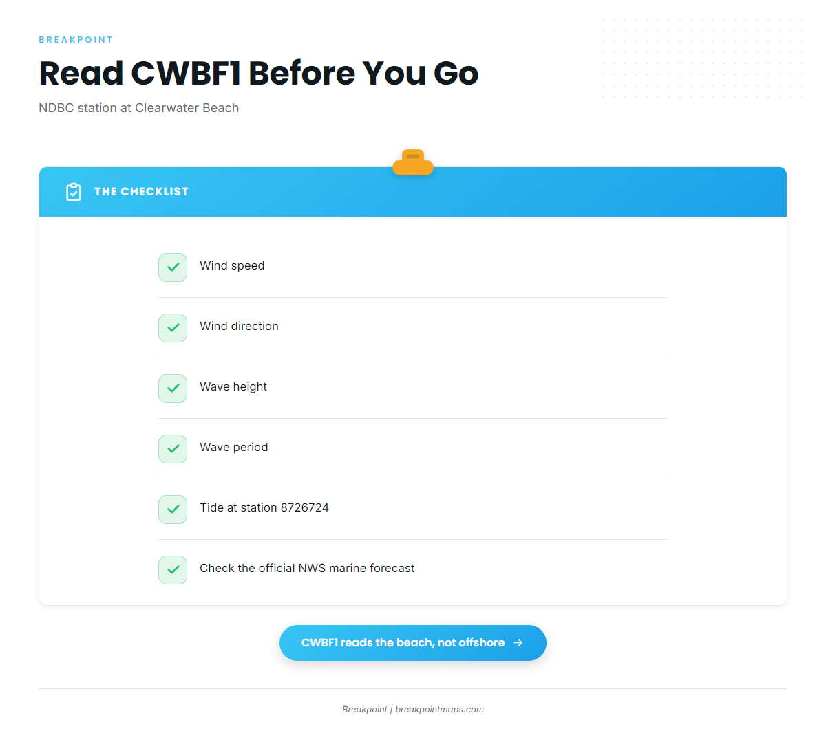
NDBC station CWBF1 sits at Clearwater Beach, 27.978N 82.832W. It is also NOAA tide station 8726724. Before you hitch up, read these values:
- Wind speed and direction
- Wave height and wave period
- Tide at station 8726724, to time the pass out and back
Check the National Weather Service marine forecast for the full picture. CWBF1 reports conditions at the beach, so the offshore water at the end of the run is a forecast, not an observation.
How far boats run from Clearwater Pass
Boats run offshore for wahoo from this port. The distance depends on where you find fish, and you plan it from the marks near the pass.
Offshore, past the nearshore marks
Every named mark near the pass sits inside 15 mi and 55 ft. Wahoo water is farther out than any of them.
Plotting the run
For the wider picture of where wahoo water sits beyond these marks, see the Gulf of Mexico wahoo guide (see also the Gulf of Mexico offshore fishing guide).
Read each mark as a distance and bearing from the pass, and plot them as reference points along your outbound line. They fall into two groups:
- Northwest group: 289, 300 and 311 degrees. These are Gregs Ledge, Veteran Reef and Clearwater Reef.
- Southwest group: 194, 238 and 260 degrees. These are Sand Key Reef, Indian Shores Reef and Rube Alan Reef.
We lay these marks over Chart Contours so you can see the bottom they sit on. Chart layers are not for navigation.
Reefs and ledges on the way out
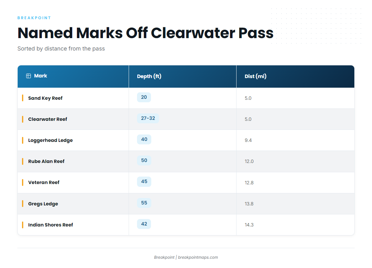
These are the named marks inside 15 miles of the pass. Wahoo water lies offshore of them.
| Mark | Depth (ft) | Distance from Clearwater Pass (mi) | Bearing |
|---|---|---|---|
| Dunedin Reef | 27-33 | ||
| Sand Key Reef | 20 | 5.0 | 194° |
| Clearwater Reef | 27-32 | 5.0 | 311° |
| Loggerhead Ledge | 40 | 9.4 | |
| Rube Alan Reef | 50 | 12.0 | 260° |
| Veteran Reef | 45 | 12.8 | 300° |
| Gregs Ledge | 55 | 13.8 | 289° |
| Indian Shores Reef | 42 | 14.3 | 238° |
Clearwater Reef figures from ReefsNwrecks.
Inside 5 miles
Sand Key Reef, Clearwater Reef and Dunedin Reef sit in 20 to 33 ft. Sand Key Reef lies south of the pass at 194 degrees, and Clearwater Reef lies northwest at 311 degrees. Dunedin Reef is listed by depth only. These are the first marks you pass on the way out and are not targets for wahoo.
9 to 15 miles
The outer band runs 40 to 55 ft:
- Loggerhead Ledge, 9.4 mi
- Rube Alan Reef, 12.0 mi
- Veteran Reef, 12.8 mi
- Gregs Ledge, 13.8 mi
- Indian Shores Reef, 14.3 mi
Gregs Ledge is the deepest named mark at 55 ft. Wahoo water lies beyond this band.
Who fishes wahoo out of Clearwater
Two groups work this water: the charter fleet and owner-operators running their own boats.
Reel Deal Sportfishing
Reel Deal Sportfishing out of Clearwater lists wahoo. The operation runs Reel Deal and Reel Deal II, both 34 ft diesel sportfishers.
Running your own boat
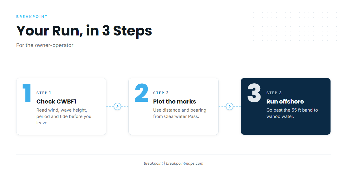
An owner-operator’s plan comes down to three steps:
- Check CWBF1 and station 8726724.
- Plot the marks by distance and bearing from Clearwater Pass.
- Run offshore past the 55 ft band.
For other offshore targets and general method, see the offshore gamefish guides.
FAQ about wahoo fishing out of Clearwater
How far offshore do you run for wahoo from Clearwater?
The run goes offshore, past every named mark. The farthest named mark is Indian Shores Reef at 14.3 mi, and the deepest is 55 ft. Wahoo water lies beyond that band.
Are wahoo caught on the nearshore reefs?
The named marks run 20 to 55 ft and sit inside 15 mi of the pass. Use them as waypoints on the way out. Wahoo water lies farther offshore.
Where do I check conditions at Clearwater Pass?
Use NDBC station CWBF1 at 27.978N 82.832W, which is also NOAA tide station 8726724. Read wind, wave height, wave period and tide, then check the official National Weather Service marine forecast.
Is there a Clearwater charter that lists wahoo?
Reel Deal Sportfishing lists wahoo. It runs Reel Deal and Reel Deal II, both 34 ft diesel sportfishers.
What’s the deepest named mark near the pass?
Gregs Ledge: 55 ft, 13.8 mi at 289 degrees from Clearwater Pass.