When white marlin are around Block Island
August is the month to watch. The Rhode Island state record white marlin was caught that month, and summer is when the canyons are credited with producing white marlin. For the species’ range and seasonal movement, see the white marlin species guide.
August on record
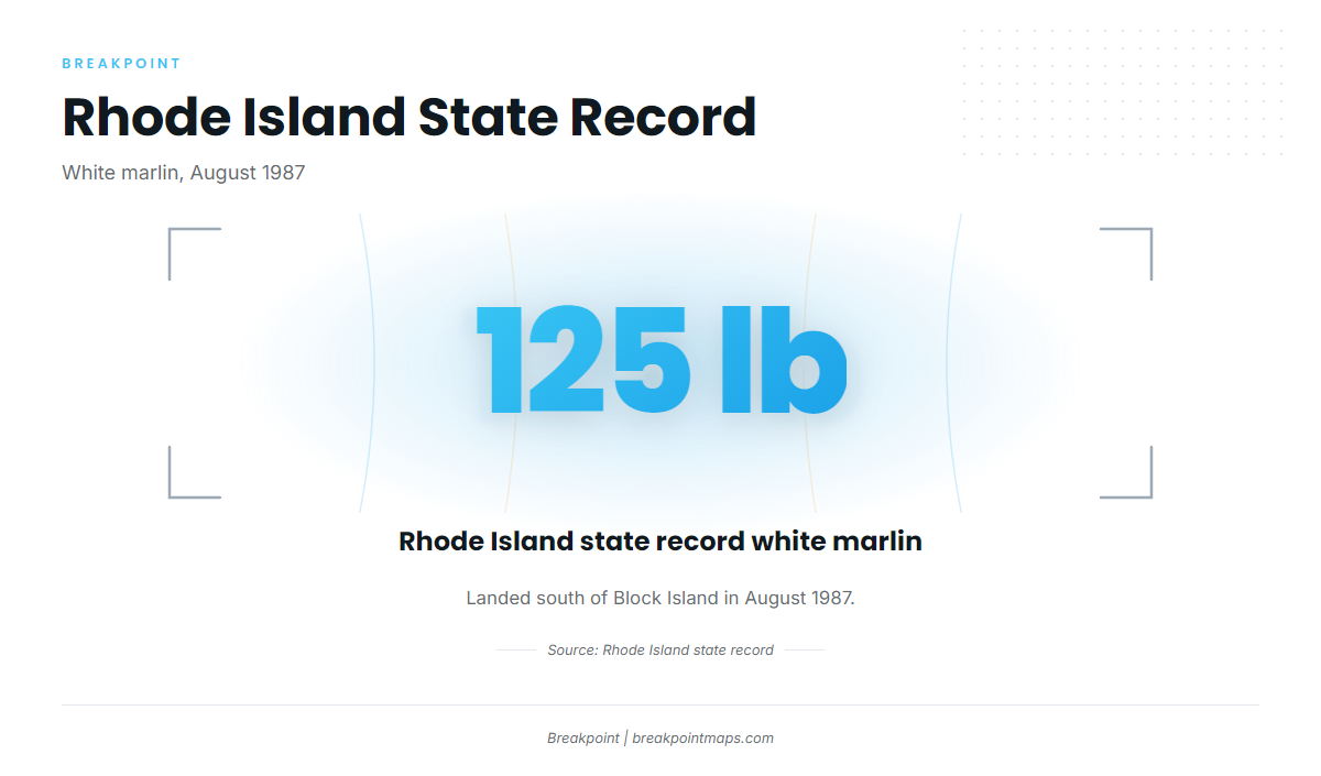
The Rhode Island state record white marlin, 125 lb, came from south of Block Island in August 1987. It is the anchor fact for marlin from this port.
Summer in the canyons
Sport Fishing says the canyons produce white marlin in summer, and it names Block Canyon and Atlantis Canyon. The evidence is thin and indirect, since no Block Island charter site lists marlin.
Where boats run from Block Island
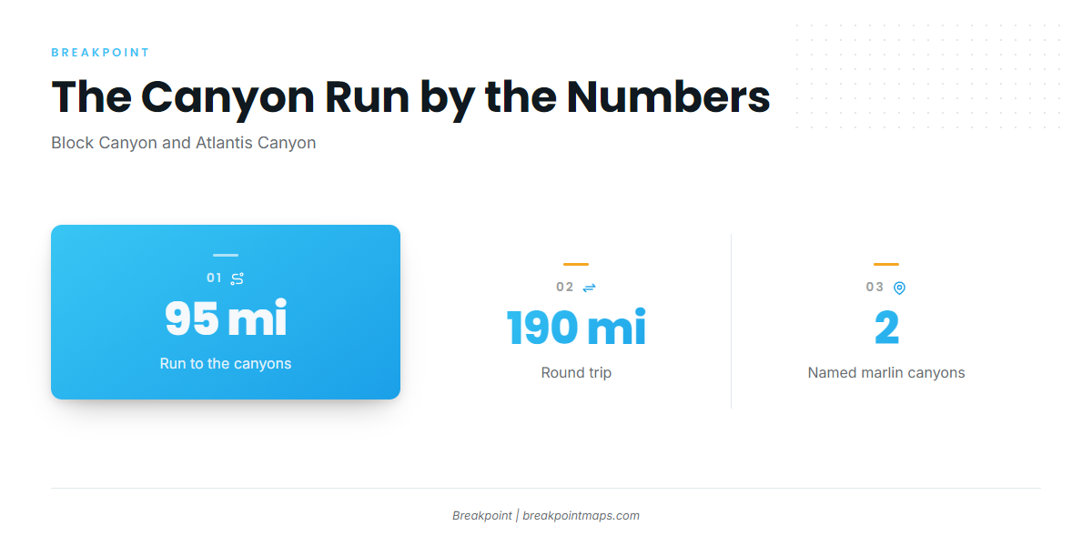
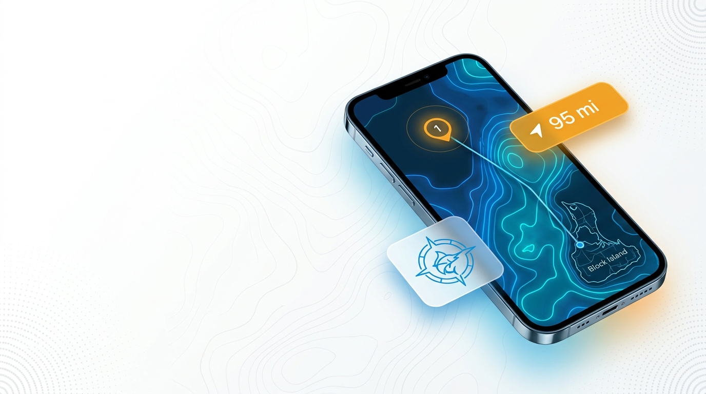
White marlin fishing out of Block Island means a canyon run of about 95 miles. Sport Fishing puts Block Canyon and Atlantis Canyon at that distance from the island. For the canyon picture beyond this port, see the Northeast white marlin guide (see also the wider Atlantic Northeast guide).
Block Canyon
Block Canyon is a named offshore canyon about 95 miles from the island and is marlin water in summer.
Atlantis Canyon
Atlantis Canyon sits at the same distance and has the same summer reputation. Both are offshore canyon destinations from this port.
Planning a run of about 95 miles
The distance shapes three decisions:
- About 95 miles out is about 190 miles round trip.
- Range and fuel reserve should be calculated against your boat’s own burn, not a rule of thumb.
- The return leg should be planned before you leave the dock.
Check OBS SST and Chart Contours over both canyons before committing fuel to the run. For wind, wave height and period, read the official marine forecast and decide on the numbers.
Named grounds near Block Island
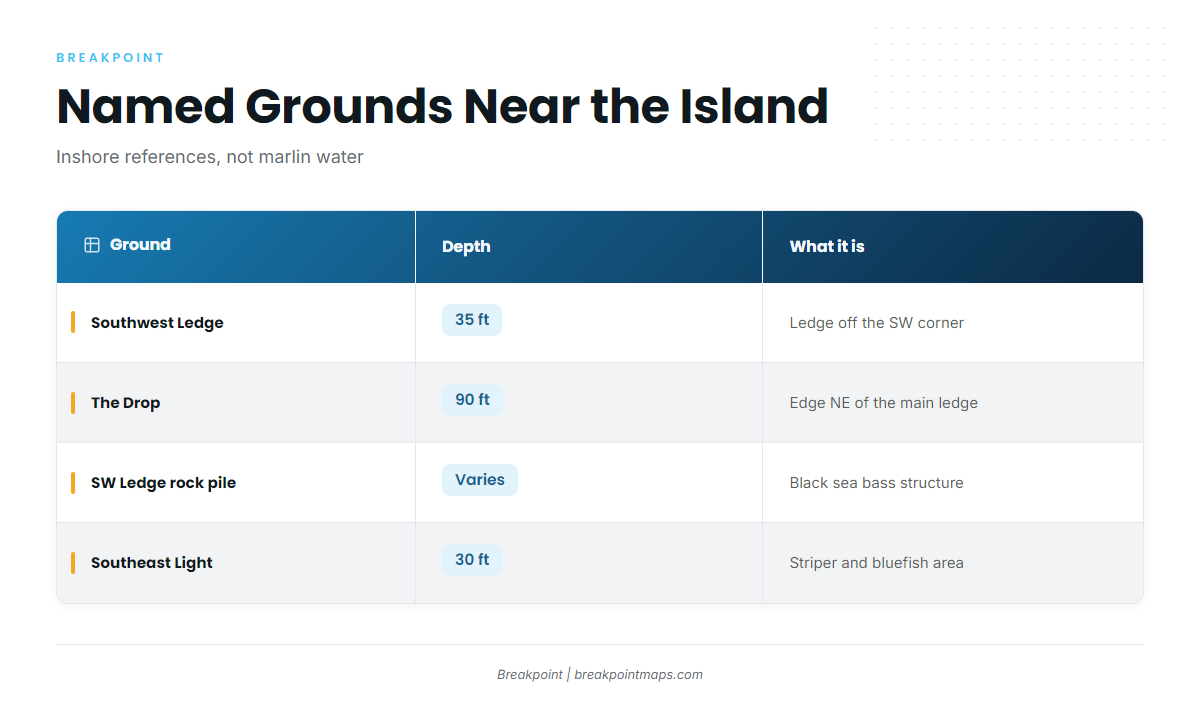
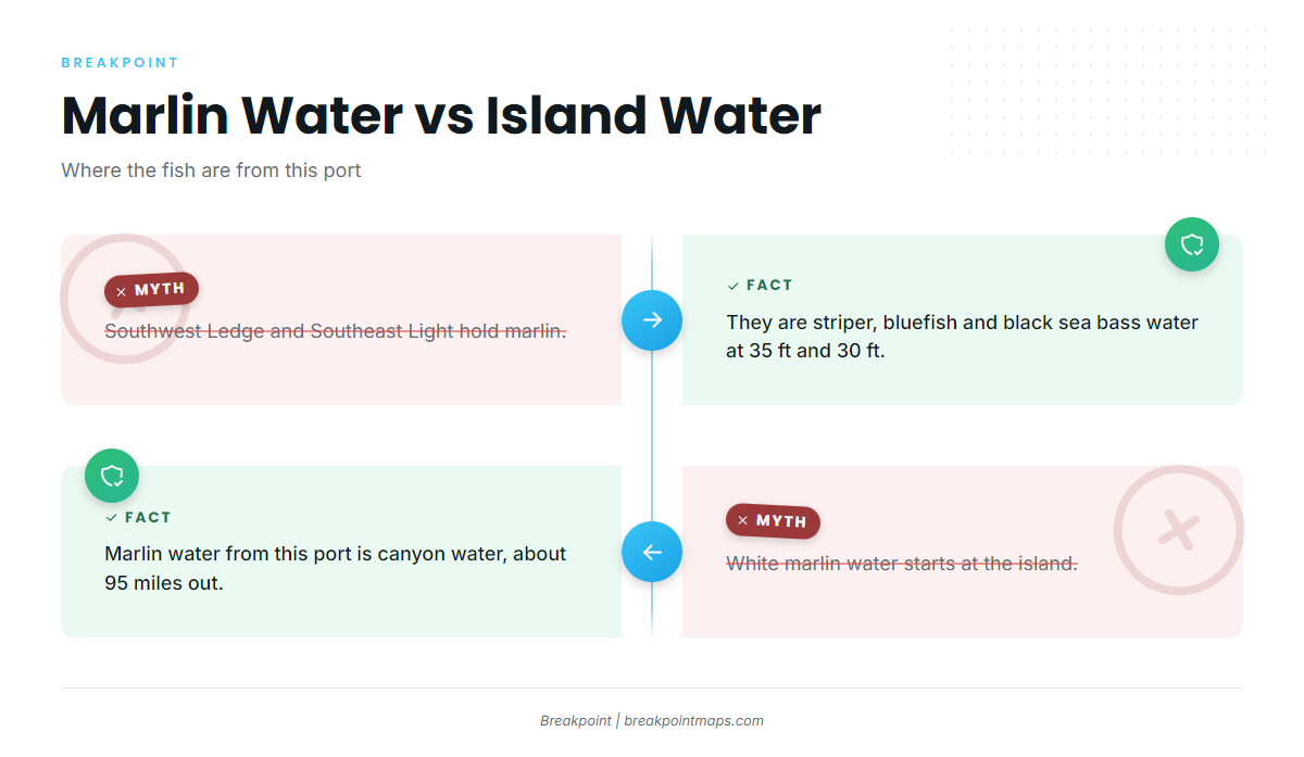
The named grounds around the island are striper, bluefish and black sea bass water, roughly 95 miles short of the canyons. They serve as departure references and range landmarks and aren’t places to troll for marlin. The Block Island port page carries the full ground list.
| Ground | Depth | Coordinates | What it is |
|---|---|---|---|
| Southwest Ledge | 35 ft | Ledge just off the island’s southwest corner | |
| The Drop (Southwest Ledge) | 90 ft | 41-08-01.8 / 71-39-35.3 | Edge northeast of the main ledge |
| Southwest Ledge rock pile | 41-07-17.3 / 71-39-53.9 | Black sea bass structure | |
| The Peanut (Southwest Ledge) | Named part of Southwest Ledge | ||
| Southeast Light | 30 ft | Striper and bluefish area | |
| The Pinnacle (Southeast Light) | Named structure in the Southeast Light area | ||
| North Rip / North Reef | Named ground off the north end | ||
| Block Island Wind Farm | Landmark |
Chart layers and coordinates are not for navigation.
Southwest Ledge, The Drop and The Peanut
Southwest Ledge sits in 35 ft just off the island’s southwest corner. The Drop is 90 ft at 41-08-01.8 / 71-39-35.3, northeast of the main ledge, and The Peanut is a named part of the ledge. These are familiar starting references before the long run south.
Southwest Ledge rock pile
The rock pile sits at 41-07-17.3 / 71-39-53.9 and is black sea bass structure.
Southeast Light and The Pinnacle
Southeast Light is a 30 ft striper and bluefish area, and The Pinnacle is a named structure within it.
North Rip and the Block Island Wind Farm
North Rip / North Reef and the Block Island Wind Farm are landmarks on the island’s north and offshore side.
How white marlin are fished from Block Island, and who fishes them
White marlin fishing out of Block Island is a trolling fishery in canyon water. The people who fish it are owner-operators running offshore-capable boats with the range and fuel for about 95 miles each way. For tackle and technique, see the billfish guides.
FAQ: White marlin fishing out of Block Island
Can you catch white marlin off Block Island?
Yes, in the offshore canyons about 95 miles out, though not on the island’s inshore grounds. The Rhode Island state record, a 125 lb white marlin, came from south of Block Island in August 1987. Sport Fishing reports summer white marlin in the canyons.
How far is the run to the canyons?
Block Canyon and Atlantis Canyon lie about 95 miles from the island, per Sport Fishing. That is about 190 miles round trip, so fuel and range should be planned against your boat’s own burn.
What month are white marlin caught from Block Island?
August is the month on record, set by the 1987 state record. The canyons produce white marlin in summer.
What is the Rhode Island state record white marlin?
The record is 125 lb, landed south of Block Island in August 1987.
Do Southwest Ledge or Southeast Light hold marlin?
No. Southwest Ledge, at 35 ft, and Southeast Light, at 30 ft, are striper, bluefish and black sea bass water. Marlin water from this port is canyon water about 95 miles out.