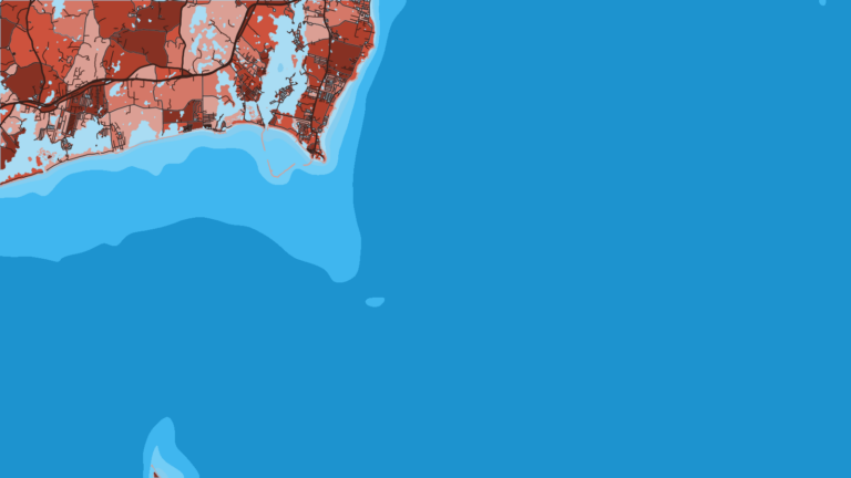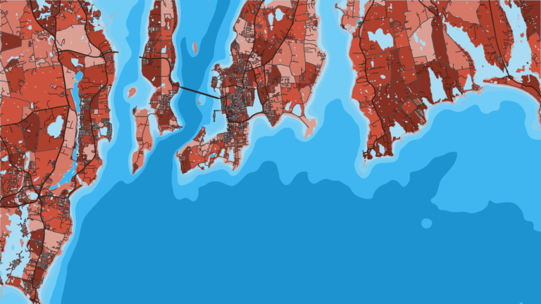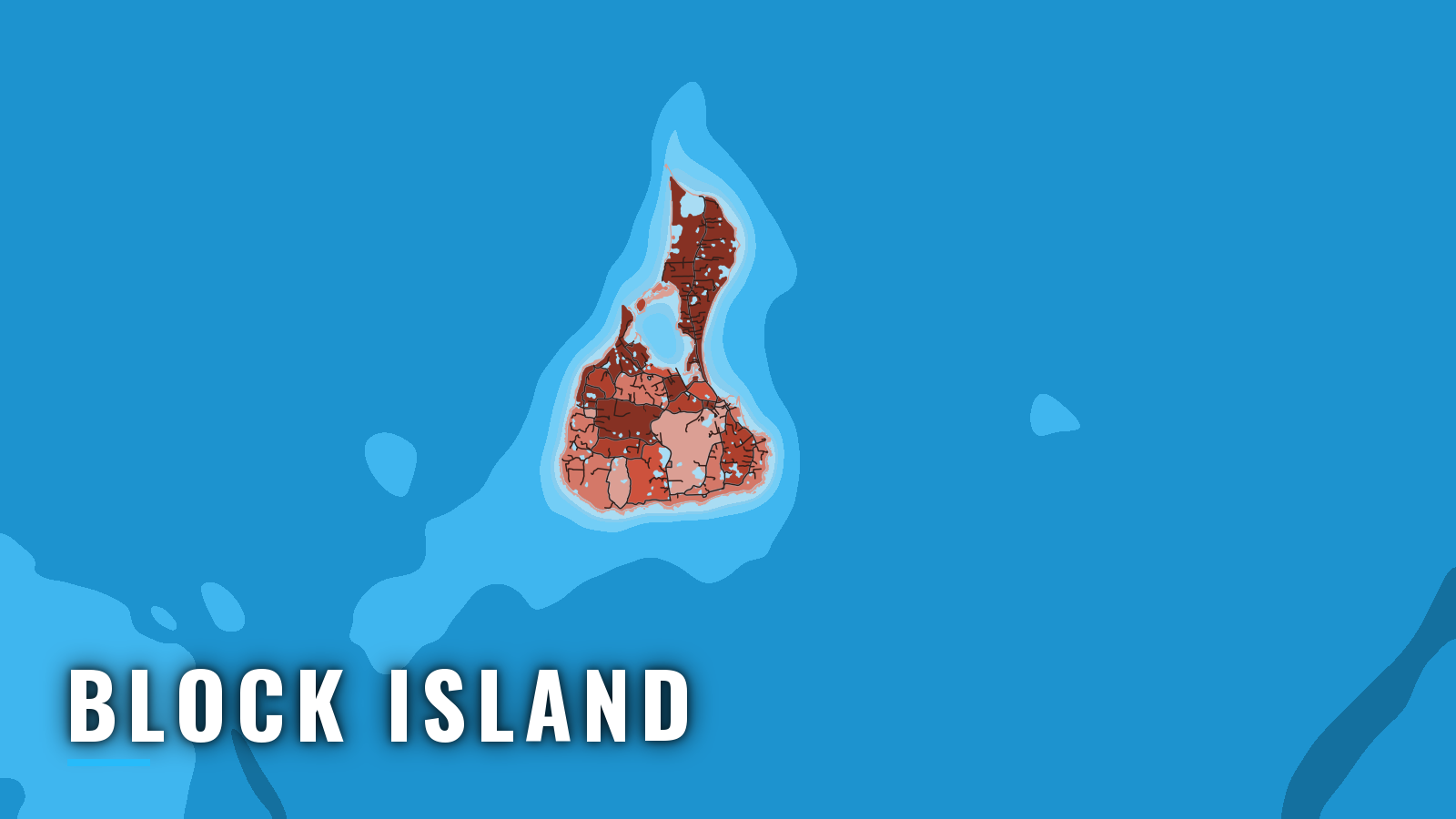

About Block Island
Block Island sits about 12 miles off the Rhode Island mainland (per the Coast Pilot) and fishes Block Island Sound and the open water to the south. Within the wider Atlantic Northeast fishery, the island has rips and ledges close in and longer runs south for pelagics.
Striped bass tend to arrive in spring and hold through summer. Summer adds bottom fish and pelagics, and autumn usually brings the fall striped bass and false albacore run. Striped bass is the primary species, followed by black sea bass, bluefish and fluke. Offshore, bluefin tuna and mahi can show in summer.
A Rhode Island recreational saltwater license applies in state waters. The RIDEM recreational saltwater license rules list who needs one. In federal waters, tunas require a federal Atlantic HMS permit. Check the current rules before you fish.
Access and navigation
The island has two harbors on opposite sides, so one can serve as a fallback for the other when the wind shifts. All public ramp and marina options are on the west side, in Great Salt Pond.
Ramp and marinas
- Indian Head Neck Road rampBlock Island boat ramp on Great Salt Pond.
- Champlin’s Marina & ResortGreat Salt Pond, fuel listed.
- New Harbor Boat BasinGreat Salt Pond.
Fuel at Champlin’s matters if you plan a run south toward Cox Ledge.
The two entrances
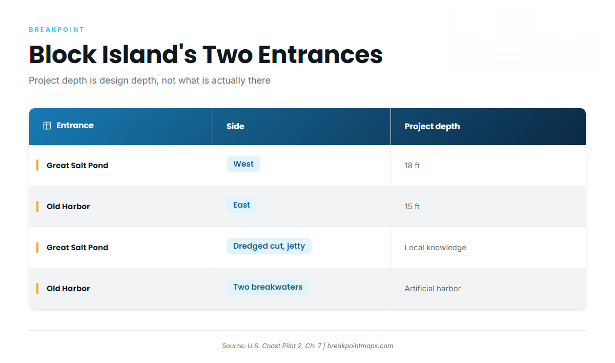
The figures below come from the Coast Pilot.
- Great Salt Pond (New Harbor), west side: A dredged cut through the beach, with a jetty on its southwest side. Project depth is 18 feet. That is the design depth. The controlling depth, which is what is actually there, is published in the Notice to Mariners and on current charts. The Coast Pilot advises local knowledge before entering. Tidal current in the entrance runs about 0.3 knot.
- Old Harbor, east side: An artificial harbor formed by two breakwaters. Project depth is 15 feet.
The Coast Pilot names Great Salt Pond as the landing when easterly gales put too much sea into Old Harbor, so an east wind generally favors the west-side cut.
Shoals and rips
- North Reef (North Rip): A sand shoal with an 11-foot least depth, running 1 mile north of Sandy Point. Its depths change frequently and it is steep-to, so soundings alone cannot be relied on to clear it, and the charted depth may not match the bottom on the day. Current running against wind can stand up steep water along the rip line.
- Southwest Ledge: Lies 5.5 miles west-southwest of Block Island Southeast Light. Least depth is 21 feet, with rocky patches extending 1.5 miles northeastward. The sea can break on the shoaler spots in heavy weather.
The structure that shapes passage also tends to shape the fishing.
Weather, fog and where to read conditions
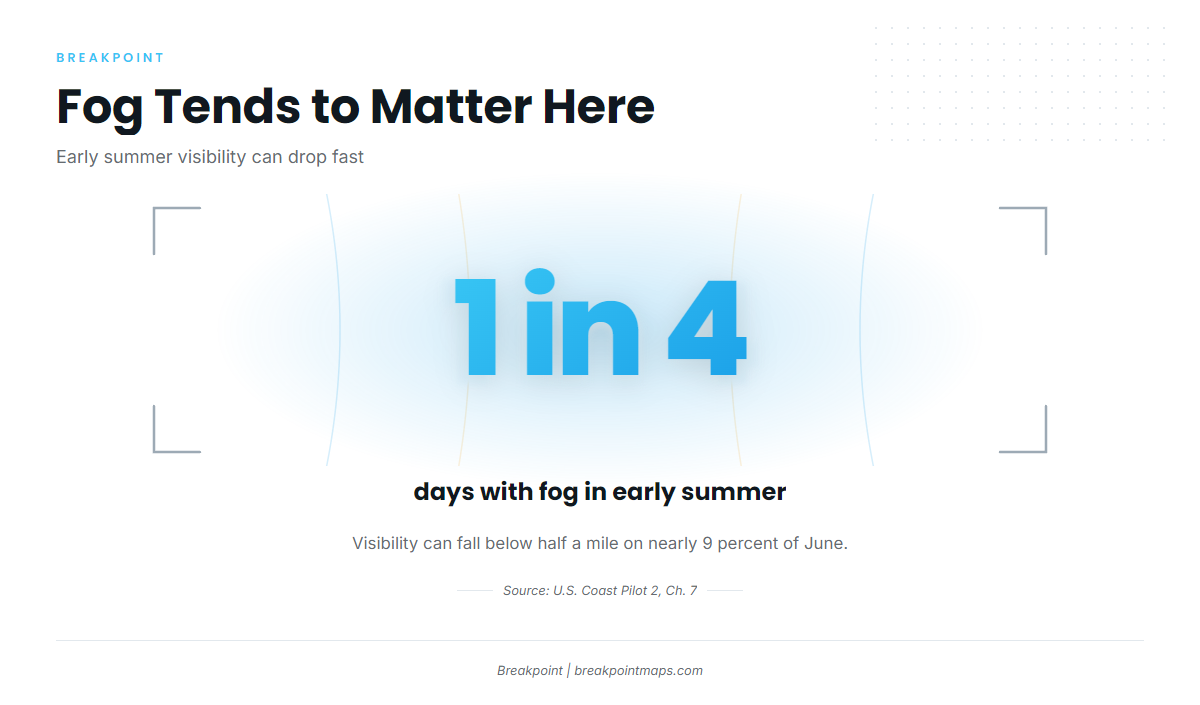
Block Island Sound is open to the nearby ocean. Wind can run double the coast’s, with winter averages of 16 to 17 knots. Seas from the southeast through southwest tend to run highest because no land interrupts the fetch. Fog occurs on about 1 day in 4 in early summer, and in June visibility drops below half a mile nearly 9 percent of the time.
Three sources cover what you need:
- The Block Island Sound forecast (ANZ237) gives wind and seas.
- NDBC buoy 44097 reports measured wave height and period.
- U.S. Coast Pilot 2, Chapter 7 holds the standing local knowledge.
The forecast covers a zone, and the buoy reports a single point in the water, so neither replaces looking at the conditions yourself. On arrival, check the water and read the ANZ237 forecast. If the approach looks bigger than you want, switch to the other entrance.
Fishing conditions
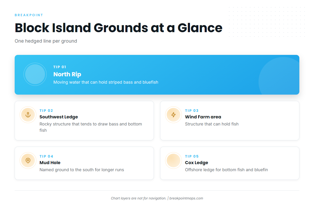
The named grounds, with what tends to hold on each:
- North Rip, off Sandy Point: moving water that can hold striped bass and bluefish.
- Southwest Ledge: rocky structure that tends to draw bass and bottom fish.
- Block Island Wind Farm area: structure that can hold fish.
- Mud Hole: a named ground to the south, used on runs offshore.
- Cox Ledge: an offshore ledge used for bottom fish and bluefin.
Before a run south, OBS SST and Chart Contours in Breakpoint can show where the edges sit. Chart layers are not for navigation.
Winter
Winter wind in the Sound averages 16 to 17 knots, which limits how often a small boat gets out. Cod can be a possibility around structure.
Spring
Striped bass tend to arrive in spring and can work the rips and ledges. Sand eels and squid may draw them in.
Summer
Black sea bass and fluke work over the ledges, and bluefish tend to show. The early-summer fog figures above apply on every run.
Bluefin tend to follow the regional bluefin pattern around Cox Ledge and the grounds to the south. Where warm water pushes in, mahi in the Atlantic Northeast can show too. Other tuna, such as yellowfin tuna, can appear when the same warm water arrives, though they tend to be occasional.
Autumn
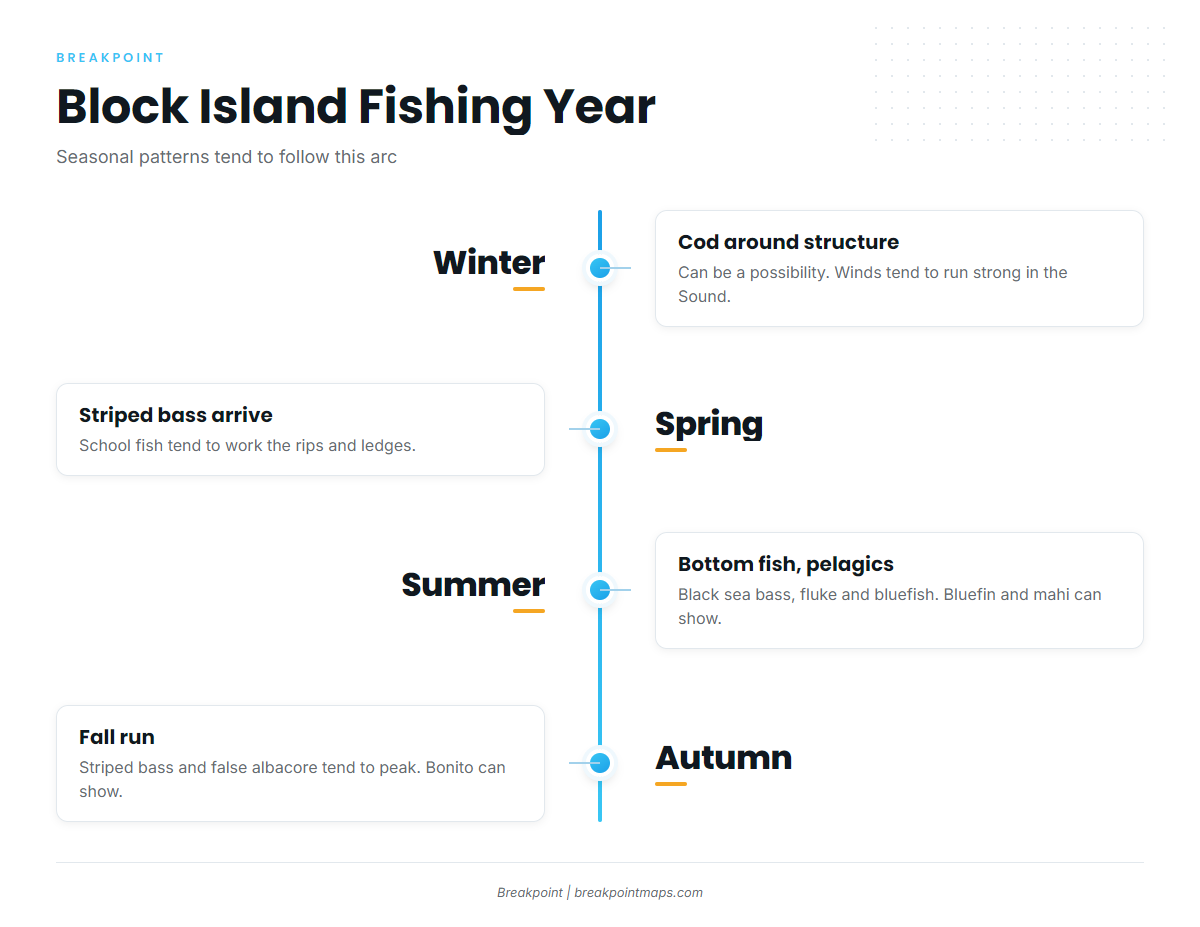
The fall striped bass and false albacore run tends to be a high point, with bonito possible alongside. September and October can bring some of the best fishing of the year. Late warm-water pushes may carry yellowfin in the Atlantic Northeast within reach of the island’s southern grounds.