
About Dauphin Island
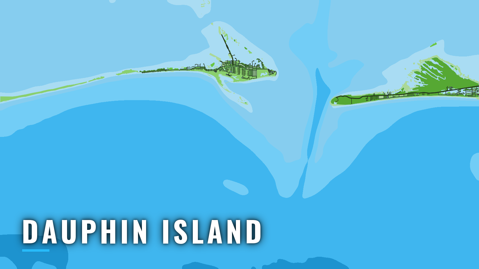
Dauphin Island sits on the west side of the Mobile Bay entrance, between Mobile Bay and Mississippi Sound, and opens to the northern Gulf through the Main Ship Channel across the bar. The port fishes year-round. Red snapper, gray triggerfish, greater amberjack, king mackerel, cobia and vermilion snapper hold on reef and rubble, and tuna fish farther out. Alabama’s artificial reef zone lies 13 to 25 miles south of the island. Rules are on our Alabama page, and you should check the MRD size and creel limits before fishing.
Access and navigation
Dauphin Island has 3 public launches and 1 marina.
- Billygoat Hole Ramp – public ramp with access to Mobile Bay, Mississippi Sound and the Gulf.
- Little Billygoat Hole Launch – public launch beside the main Billygoat Hole site.
- Ladnier Landing – public launch on Dauphin Island.
- Dauphin Island Marina – marina with fuel listed.
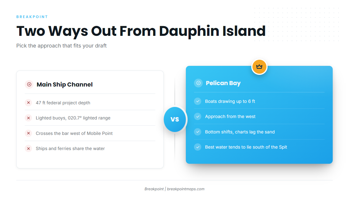
Main Ship Channel. Per the NOAA Coast Pilot 5, Chapter 7, the Mobile Bay entrance is 3 miles wide, with breakers and shoals extending 4 miles south on both sides. The Main Ship Channel crosses the bar just west of Mobile Point. It is marked by lighted buoys and a 020.7 degree lighted range, and its federal project depth of 47 feet makes it the deep-draft option for larger boats. Ships approach through prescribed safety fairways. Scheduled daytime ferries cross between Fort Gaines and Fort Morgan and monitor VHF 16. Mobile Bar Pilots run two boats from Fort Gaines and monitor channels 13 and 16. The Coast Guard asks vessels to make a SECURITE call on channel 13 before crossing the Intracoastal Waterway, about 3 miles above Mobile Point.
Pelican Bay, the alternative approach. From the west, boats drawing up to 6 feet can use Pelican Bay. The bottom shifts, and the best water tends to lie south of Dauphin Island Spit before the turn north. Charts lag the sand here, so read the water as well as the chart.
How the entrance behaves. An ebb running against a south wind tends to steepen the sea at the bar, because the opposing current and wind stack the waves up. After protracted strong south winds, the Coast Pilot reports ebb velocities of 8 to 10 knots in the Bar Channel and Mobile Bay Channel, and strong winds can shift the timing and speed of the current. A norther can raise a short, steep chop in the lower bay north and northwest of Mobile Point, and persistent northers can lower water in the bay. About 15 to 20 significant fronts reach the Gulf each year.
Look at the water when you arrive, and read the official NWS marine forecast through the official weather and tides page. Check NDBC station DPIA1 at the island and NDBC station 42012 offshore for wind, wave height and period. If conditions look bigger than you want, switch to the other approach.
Fishing conditions
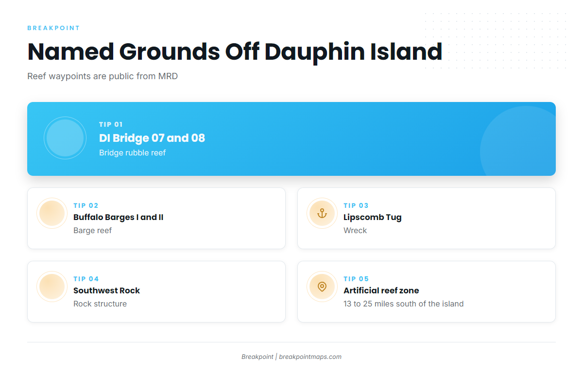
The state publishes public waypoints for its reef program, which it calls the largest in the U.S. The MRD artificial reef coordinates come as GPX, KMZ and XLS files. Named grounds off Dauphin Island:
- DI Bridge 07 and 08 – bridge rubble reef
- Buffalo Barges I and II – barge reef
- Lipscomb Tug – wreck
- Southwest Rock – rock
- Artificial reef zone – 13 to 25 miles south of Dauphin Island
Alabama state waters for reef fish extend 9 nautical miles, and the nearshore reef zone runs 0 to 9 nm, so the state season applies there. Red snapper, gray triggerfish and greater amberjack landed in Alabama go on one Snapper Check report per vessel trip, filed before the fish are landed, in the Outdoor AL app or online. Hook-and-line limits apply in the federal Alabama Special Management Zone, so check the rules before you fish it.
In the app, Chart Contours shows bottom relief around the reef zone, and OBS SST shows water edges. Both help you decide where to look first. Chart layers are not for navigation.
Winter
King mackerel and vermilion snapper hold on reef zone structure off Dauphin Island. Sheepshead are a nearshore option on rubble such as DI Bridge 07 and 08. Fronts tend to shape which days you can run, so tie your plan to the norther notes above.
Spring
Cobia and king mackerel lead the list off Dauphin Island. Tuna can show farther out for boats set up for the run. Sheepshead remain an option on nearshore rubble.
Summer
Red snapper concentrate on the reef zone and on wrecks such as Lipscomb Tug. MRD sets the state season by press release, so red snapper timing comes from the agency. Gray triggerfish share the same structure, so check that the season is open before you keep a gray triggerfish. Spanish mackerel and king mackerel can show nearshore off Dauphin Island, and mahi might be found beyond the reef zone, where the Gulf mahi guide covers the pattern.
Autumn
Greater amberjack fish deeper reef structure, and the greater amberjack season follows the federal season, so check the agency before you go. Red snapper, triggerfish and grouper stay on the reef zone off Dauphin Island. Gulf kings round out the fall list on nearshore structure. Tuna, and wahoo as a deeper-water option, can reward bigger boats that make the longer run.