
About Fernandina Beach
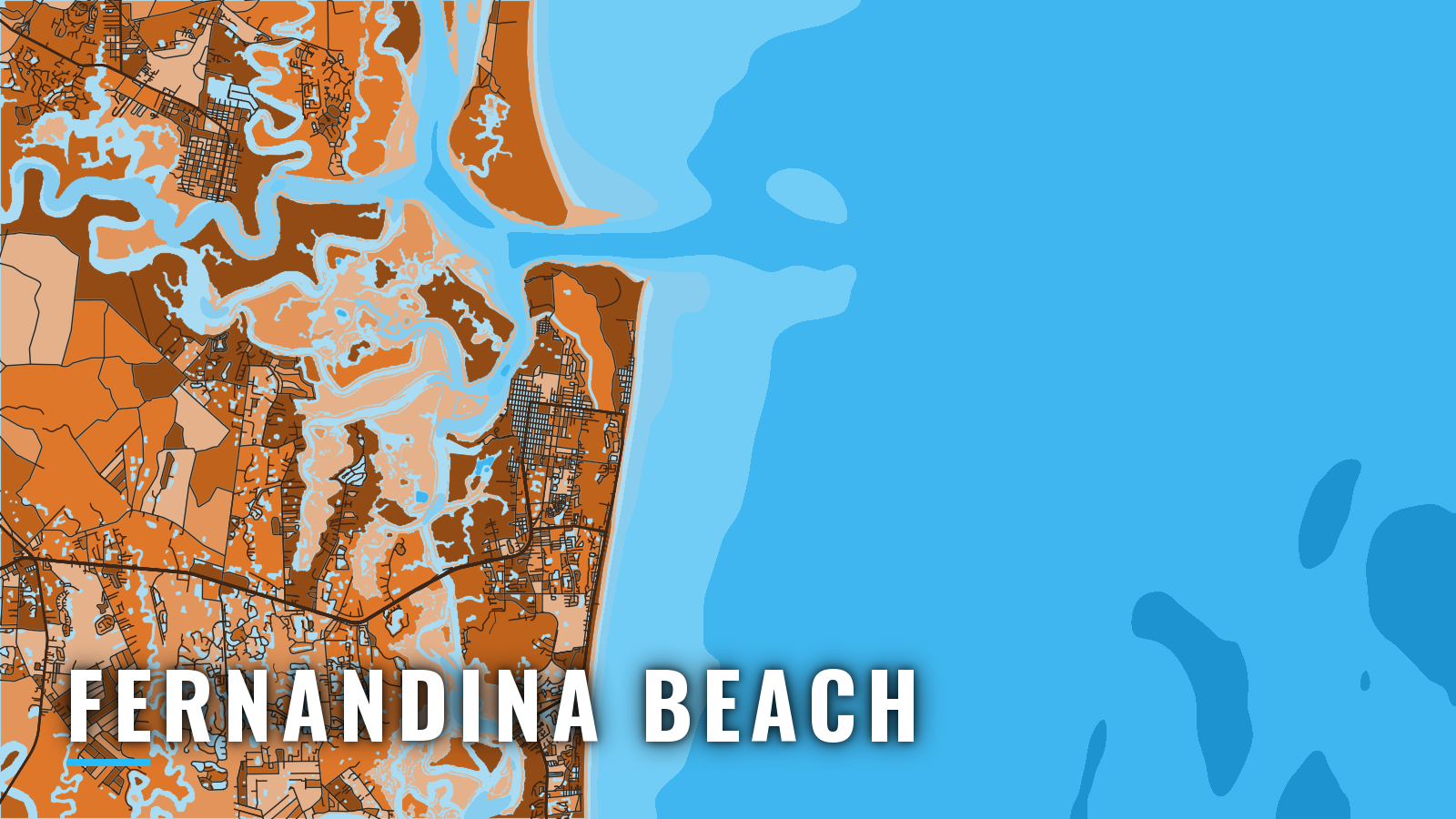
Fernandina Beach sits on the east bank of the Amelia River on Amelia Island, 2 miles south of St. Marys Entrance at the Georgia line, in Florida. Boats leave through the jetty-flanked entrance to fish the jetties and inshore water, the nearshore reefs and wrecks, and the offshore bottom called The Ledge.
The water fishes year-round, and the targets shift with the season. Anglers here work cobia, king mackerel, tarpon, red snapper, mahi-mahi, redfish and sheepshead. Species detail is in the guides linked below. Rules are set by the Florida Fish and Wildlife Conservation Commission, so check its recreational saltwater page before fishing. A Florida saltwater fishing license is required. Private-boat anglers 16 and older who keep reef fish such as red snapper, gag or amberjack also need the free State Reef Fish Angler designation. For regional context, see the wider Atlantic Southeast picture.
Access and navigation
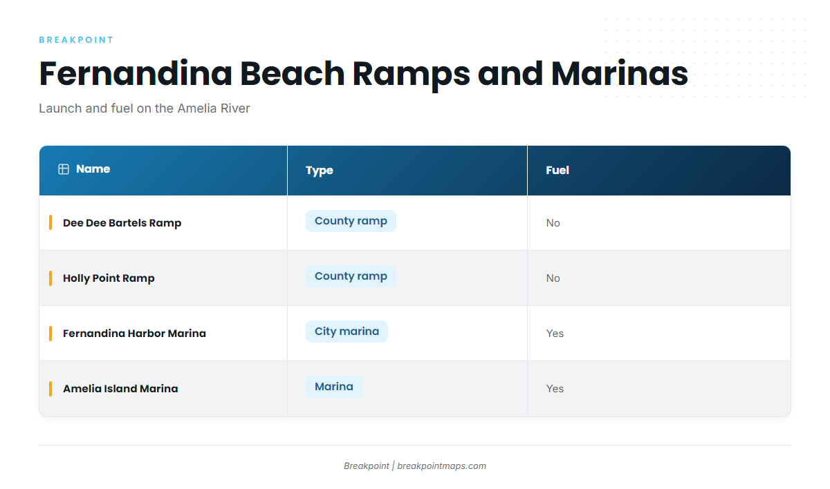
Fernandina Beach launches straight onto the Amelia River, and the run to sea is short and current-driven.
Ramps and marinas
- North End/Dee Dee Bartels Boat Ramp – Nassau County public ramp at the north end of the island.
- Holly Point Boat Ramp – Nassau County public ramp.
- Fernandina Harbor Marina – city marina on the Amelia River, fuel.
- Amelia Island Marina – marina with fuel.
The entrance
The two stone jetties at St. Marys Entrance are in very poor condition and almost entirely submerged at mean high water. A lighted buoy marks the outer end of the north jetty, and white buoys with orange bands marked JETTY show the approximate jetty locations. The channel through the bar and the channels inside Cumberland Sound are marked with lights, lighted buoys and ranges. Details are in U.S. Coast Pilot 4, Chapter 8.
The natural channel between the jetties changes often, so charted lines can lag the bottom. Chart layers are not for navigation.
Maximum currents run 2.0 to 3.9 kn in St. Marys Entrance and 1.0 to 2.5 kn in the Cumberland Sound channel. The flood generally sets northwest and the ebb southeast. With a northeast breeze, the ebb runs against the wind at the jetty ends, and that is where the water tends to stand up. In northeast winds, a strong southerly set can run off the jetty ends on both tides, at times above 5 kn, so expect to be pushed toward the south jetty on the way out.
Boats heading north out of the sound use the natural channel off the end of the north jetty, marked by a buoy.
The alternative approach
Nassau Sound is reached from inside via the Amelia River and the South Amelia River, which is part of the ICW. Its entrance has shifting shoals that extend about 1.5 miles seaward and form a shallow bar, with breakers across the entire entrance. Local knowledge is advised for small craft. It is an option, but not an easier way out.
Where to read conditions
- NWS Jacksonville marine zones AMZ450, AMZ452, AMZ470 and AMZ472 carry the official forecast. See the NWS Jacksonville marine forecast zones.
- Offshore Fernandina Beach has a waverider buoy for wave height and period: NDBC buoy 41112.
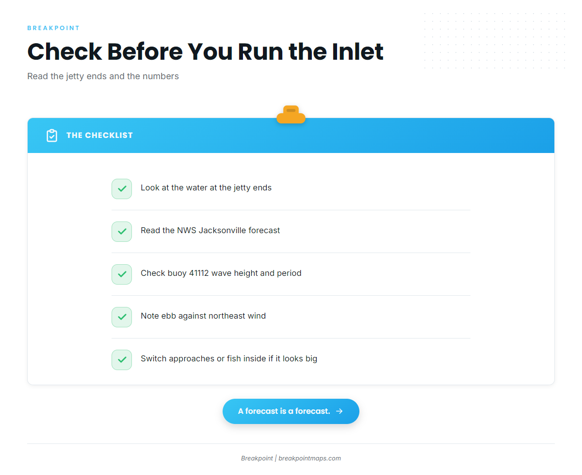
On arrival, look at the water at the jetty ends, then read the NWS Jacksonville forecast and check buoy 41112 for wave height and period. Forecasts miss, so if conditions look bigger than you want, switch approaches or fish inside.
Fishing conditions
The named grounds are:
- Fort Clinch State Park Jetty at St. Marys Inlet, rock.
- Captain Daddy artificial reef (CD-06-#02), 67 ft.
- The Ledge, an offshore ledge.
Anyone running south and east should know the North Florida MPA boundaries (30°19′ to 30°29′ N, 80°02′ to 80°14′ W). Fishing for or possessing snapper-grouper is prohibited there. Transit with gear stowed is allowed.
OBS SST shows where the edge sits before a long run.
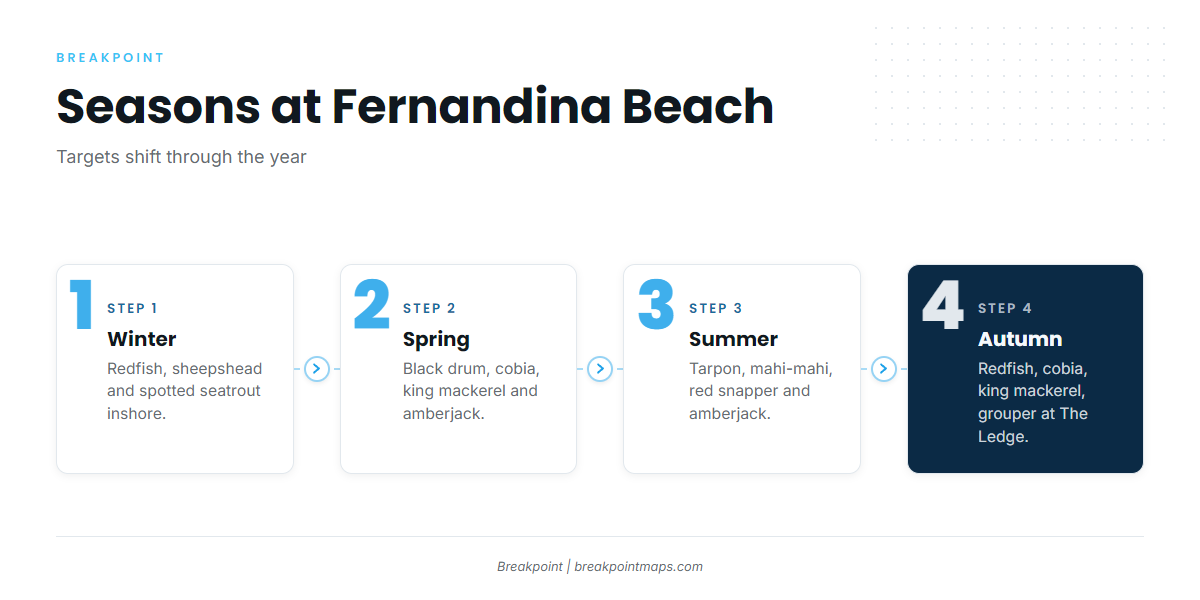
Winter
Winter is an inshore and jetty season. Redfish, sheepshead and spotted seatrout fish around the Fort Clinch rocks and the river.
Spring
Fishing turns toward black drum, sheepshead and flounder inshore as the water warms. Nearshore, cobia and king mackerel arrive, and amberjack hold on structure. For the cobia side, see cobia in the Atlantic Southeast. For trolling approach, see king mackerel technique.
Summer
Tarpon, Spanish mackerel and flounder fish inshore and nearshore, and king mackerel work the nearshore water. Mahi-mahi and sailfish show farther out. King mackerel off the Atlantic Southeast covers the run in more detail. Red snapper and amberjack sit on bottom structure. For tactics, see red snapper tactics, and check FWC for Atlantic season dates, which change.
Autumn
Redfish and flounder fish inshore. Nearshore, cobia and king mackerel stay on the move, and the cobia fishing guide covers the species. Over The Ledge, look for grouper on The Ledge and amberjack. Check FWC for gag season.
Other Northeast Florida ports: Mayport, St. Augustine.