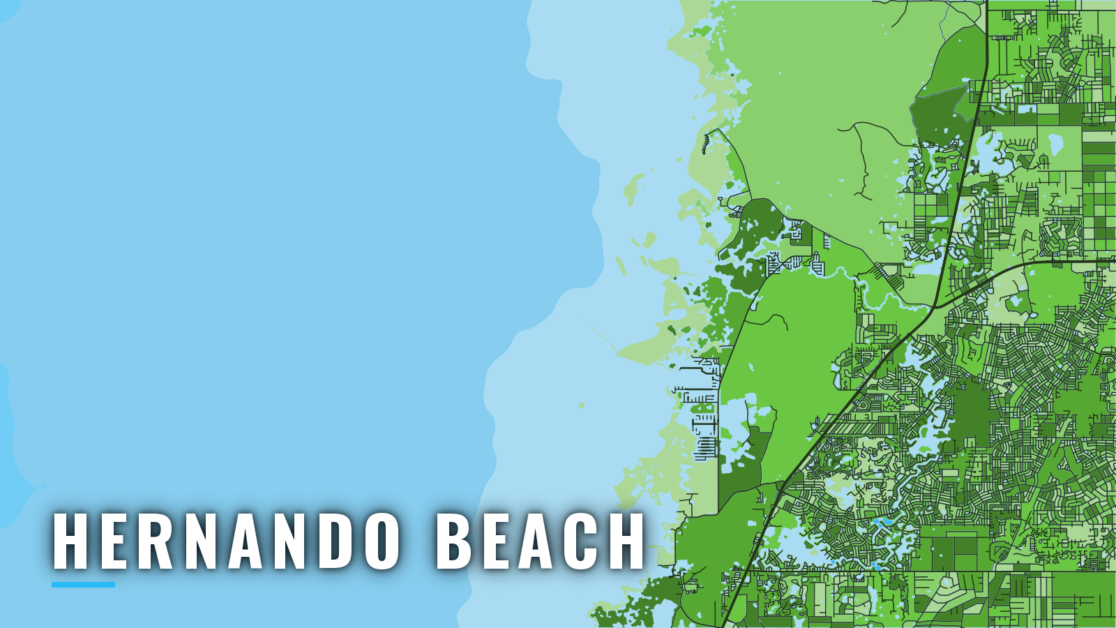

About Hernando Beach
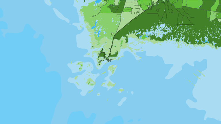
Hernando Beach is a canal community on Florida’s Nature Coast, with a marked channel out to the Gulf of America (Gulf of Mexico). NOAA places it 20 miles north of the Anclote River, the river that leads to Tarpon Springs, with Crystal River farther north up the Nature Coast.
The port fishes through the year, and the species shift with the seasons. Cold fronts limit winter days. Anglers here target gag grouper, red grouper, red snapper, king mackerel, cobia, hogfish and mangrove snapper. Florida rules for licenses, the State Reef Fish Survey and reef fish seasons are on our Florida page; check FWC rules there before you fish.
Access and navigation
Three county ramps and one marina serve the channel:
- Hernando Beach Boat Ramp – main county launch to the Hernando Beach channel and the Gulf.
- Bayport Park Boat Ramp – county launch with its own route out to the Gulf.
- Jenkins Creek ramp – small boats only.
- Hernando Beach Marina – private marina on the Hernando Beach canals.
The Hernando Beach channel is narrow. Its approach is marked by a private light and daybeacons, and it can be followed by keeping several yards south of the jetty and fill spit. Tide matters here, and north wind tends to push water out and can thin the channel.
The NOAA Coast Pilot 5 chapter reports a large submerged rock, covered at all stages of tide, in the middle of the channel at about 28°30’00"N, 82°40’30"W. A sign just outside the southeast channel boundary is reported to warn of it.
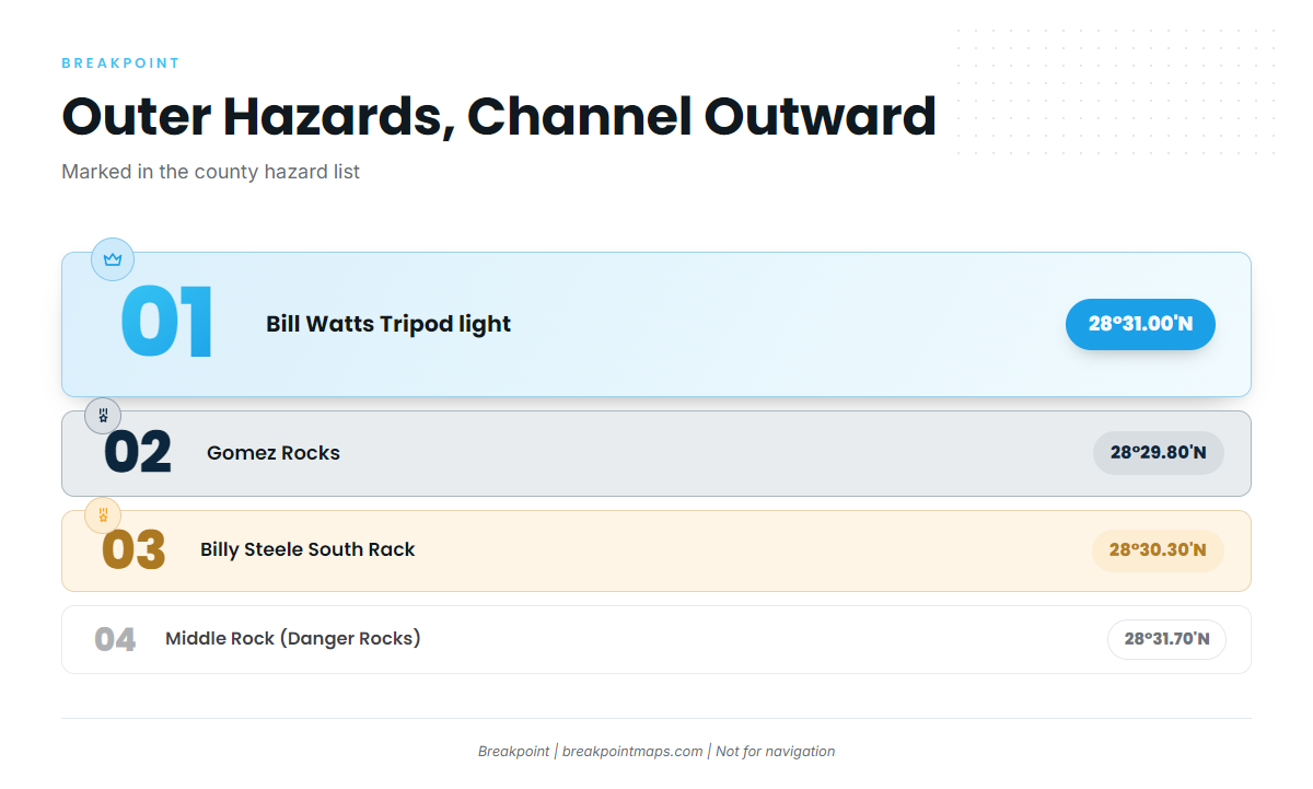
Past the seaward end of the channel, start from the Bill Watts Tripod light at 28°31.00’N, 82°42.54’W. The county lists these hazards beyond it:
- Gomez Rocks: two pilings with no light, near 28°29.80’N, 82°43.70’W.
- Billy Steele South Rack: submerged ruins at 28°30.30’N, 82°46.80’W.
- Middle Rock: signed "Danger Rocks," at 28°31.70’N, 82°46.60’W.
Farther out, the ground is broken. Rocks and shoals extend as much as 15 miles from shore between Anclote Keys and Cedar Keys, and the shoals of St. Martins Reef run over 10 miles offshore. Many carry private daybeacons, which can be damaged or missing. Hernando County keeps an aids-to-navigation list and an outage report on its boating resources page. Hazy air often hides this coast from offshore.
Bayport is the alternative approach. The Bayport Park ramp has its own route out, and it can be the better choice when the Hernando Beach channel looks thin.
On arrival, check the water and the NWS Tampa Bay coastal waters forecast. If conditions look bigger than you want, switch approaches. Charts and our chart layers are not for navigation.
Fishing conditions
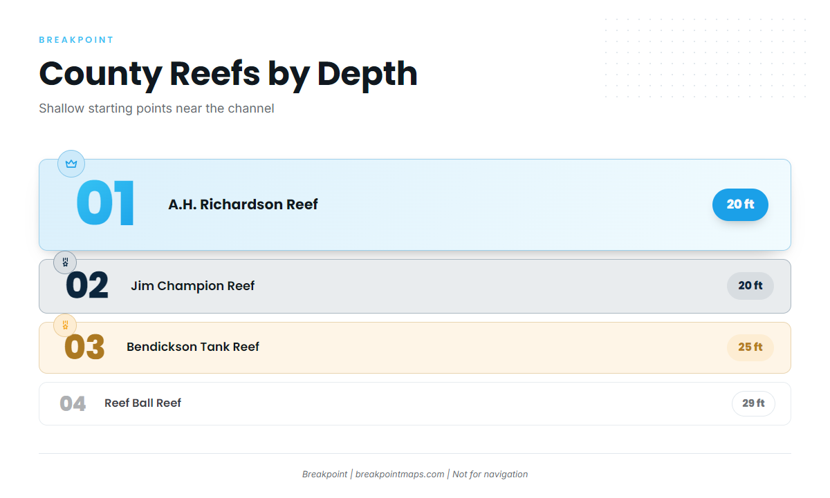
Hernando County maintains named artificial reefs in shallow water close to the channel:
- A.H. Richardson Reef – 20 ft
- Jim Champion Reef – 20 ft
- Bendickson Tank Reef – 25 ft
- Reef Ball Reef – 29 ft
- Reef Ball Sites A, B and C – county reef sites
Natural hard bottom and ledges lie farther out across the broken ground. Red grouper tend to sit deeper than the county reefs, and Gulf reef species such as gray triggerfish can turn up over hard bottom.
Chart Contours shows where the bottom changes around the county reefs, and OBS SST shows where cleaner, warmer water sits on a given day. Chart layers are not for navigation.
Winter
Cold fronts from the north reach this coast from fall through spring. Winds over 20 knots are often reported with them, and wave heights of 10 feet or more are not uncommon behind frontal systems. Sea fog is most common from December to early March, usually forming ahead of a front when winds are south to southwest.
Hogfish, mangrove snapper, sheepshead and cobia are the offshore targets. North wind after a front can thin the channel, so consider switching to Bayport before you commit.
Spring
Spring brings gag grouper onto the list. King mackerel and cobia run in spring, and tarpon show up along the coast. Fronts still reach the coast through spring.
Summer
Red snapper join the summer list, and gag continue. Check the Florida page for the season. Scallop crowds on the flats draw boaters to the shallow grass around Hernando Beach, which can mean busier water near the channel.
Thunderstorms are most likely May through September, most frequently in the evening and early morning offshore.
Autumn
Autumn fishing includes gag, king mackerel, mangrove snapper, hogfish, cobia and red grouper. Fronts return, with the same wind and wave pattern described under Winter.