
About Crystal River
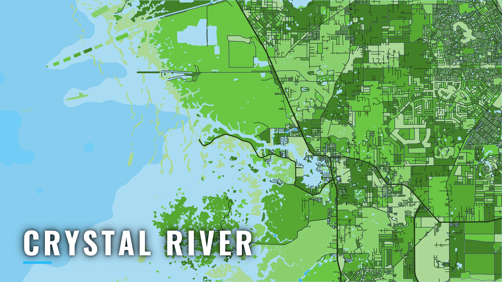
Crystal River is a spring-fed port on Florida’s Nature Coast, opening through Kings Bay and Crystal Bay to the Gulf of America (Gulf of Mexico). Coast Pilot places the river mouth 45 miles north of the Anclote River and 23 miles southeast of Cedar Keys, with Hernando Beach the next harbor south. Broken ground with rocks and shoals runs as much as 15 miles from shore. The shallow limestone bottom calls for careful running, and it puts Crystal River offshore fishing closer to the ramp than in most of Florida.
The port fishes year round. Anglers work gag and red grouper, cobia, Spanish and king mackerel, redfish, spotted seatrout and sheepshead. Summer adds bay scallop traffic to the channel.
Access and navigation
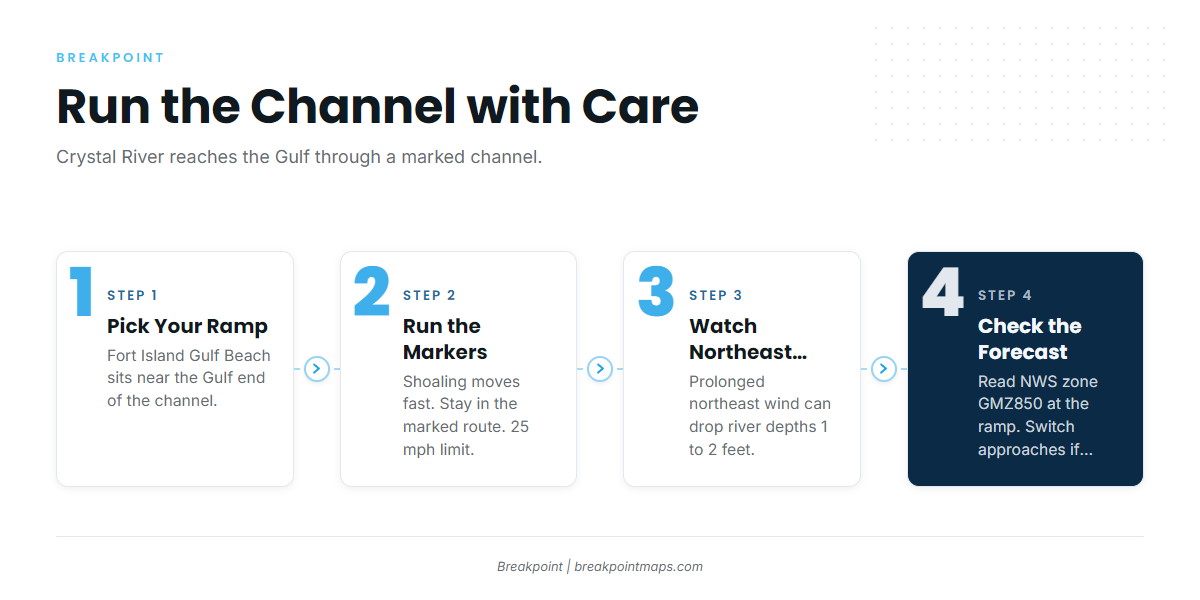
Crystal River reaches the Gulf through a marked channel, dredged in sections, from Kings Bay through Crystal Bay and Crystal Reefs. Public ramps sit along the river and near its Gulf end, and two Kings Bay area marinas list fuel.
- Fort Island Gulf Beach Boat Ramp – Citrus County ramp near the Gulf end of the channel.
- Fort Island Trail Park Boat Ramp – Citrus County ramp on Fort Island Trail along the river.
- Pirates Cove Boat Ramp – Citrus County public ramp.
- Pete’s Pier Marina – Kings Bay marina, fuel listed.
- Twin Rivers Marina – Crystal River marina, fuel listed.
Launching at a ramp or marina up the river means running the full channel, while Fort Island Gulf Beach puts you near the Gulf end.
The channel needs attention. According to the NOAA Coast Pilot 5 chapter, the area is subject to frequent shoaling. In prolonged northeast winds, depths in the river can drop 1 to 2 feet below normal. A 25 mph speed limit is enforced in the channel year round. Shoaling tends to move faster than charts update, so the markers and the water in front of you might tell a different story than the plotter. Rocks and shoals lie in the deeper water outside, and leaving the marked route early can find bottom.
The Cross Florida Barge Canal, to the north, is an alternative approach. It tends to be a deeper, straighter route out to the Gulf than the Crystal River channel.
On arrival, look at the water and read the NWS marine forecast GMZ850 for Tarpon Springs to Suwannee River out 20 NM. If the water looks bigger than you want, switch approaches or keep the day inside.
Fishing conditions
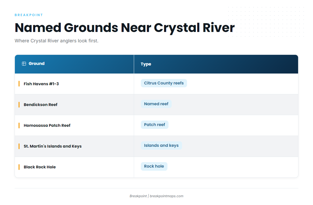
Crystal River fishes broken limestone bottom and Citrus County fish havens that start close to shore. Coast Pilot notes fish havens as much as 10 miles offshore along this coast, some marked by private buoys, which are not aids to navigation.
The Citrus County fish havens page lists locations for Fish Havens #1, #2 and #3. Other named grounds include:
- Bendickson Reef
- Homosassa Patch Reef
- St. Martin’s Islands and Keys
- Black Rock Hole
Cobia around Gulf markers, fish havens and buoys can turn up on this coast.
Check the FWC (Florida Fish and Wildlife Conservation Commission) recreational saltwater regulations before fishing. They cover the saltwater license, the State Reef Fish Angler designation for reef fish from a private boat, reef fish seasons and bay scallop season. Seasons change by quota, so rely on the agency for current figures.
Chart Contours and OBS SST layers can help you decide where to look along the ledges. They are not for navigation.
Winter
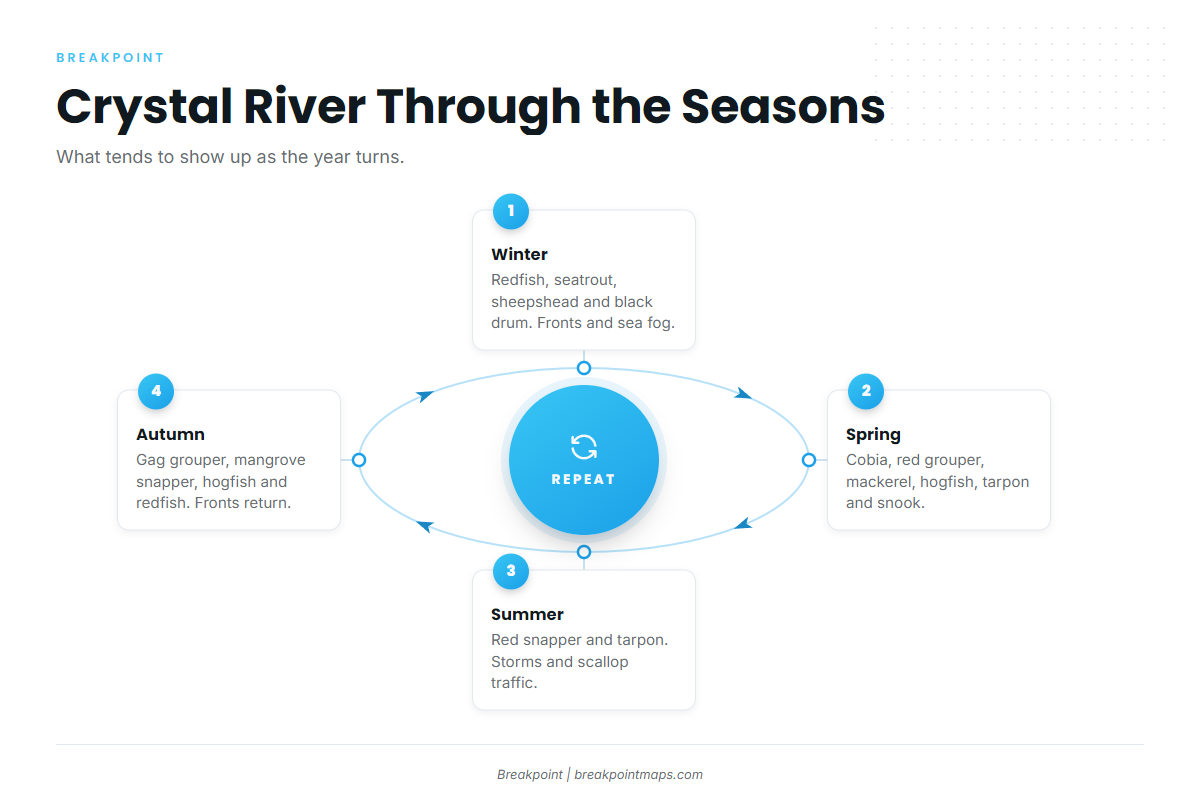
Cold fronts reach this coast from fall through spring, often with winds over 20 knots reported. Sea fog is most common from December to early March. Between fronts, these species tend to hold nearer the river and inshore rock:
- Redfish
- Spotted seatrout
- Sheepshead
- Black drum
Spring
Spring brings the widest mix on the Crystal River calendar. Cobia tend to show near markers and buoys. Red grouper can be found on hard bottom. Spanish mackerel and kingfish (king mackerel) run over open ground. Hogfish hold on rock. Tarpon and snook work the nearshore and river mouth.
Summer
Thunderstorms are most likely May through September, and offshore storms are most frequent in the evening and early morning. Red snapper and tarpon are the summer offshore targets. FWC sets the red snapper season.
Bay scallop season, also set by FWC, adds boats to the channel and ramps. Run the arrival check from the navigation section before you commit.
Autumn
Gag, mangrove snapper, hogfish, redfish, spotted seatrout and snook are the autumn list. Gag grouper season is set by FWC and can change by quota, so check before fishing. Cold fronts return.