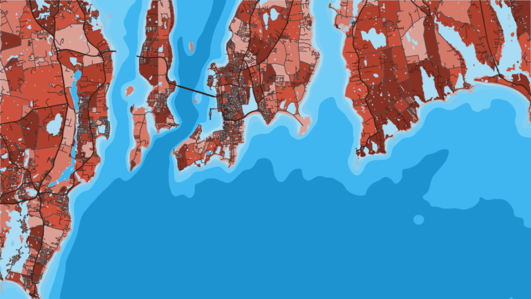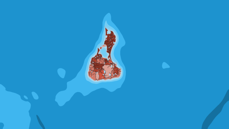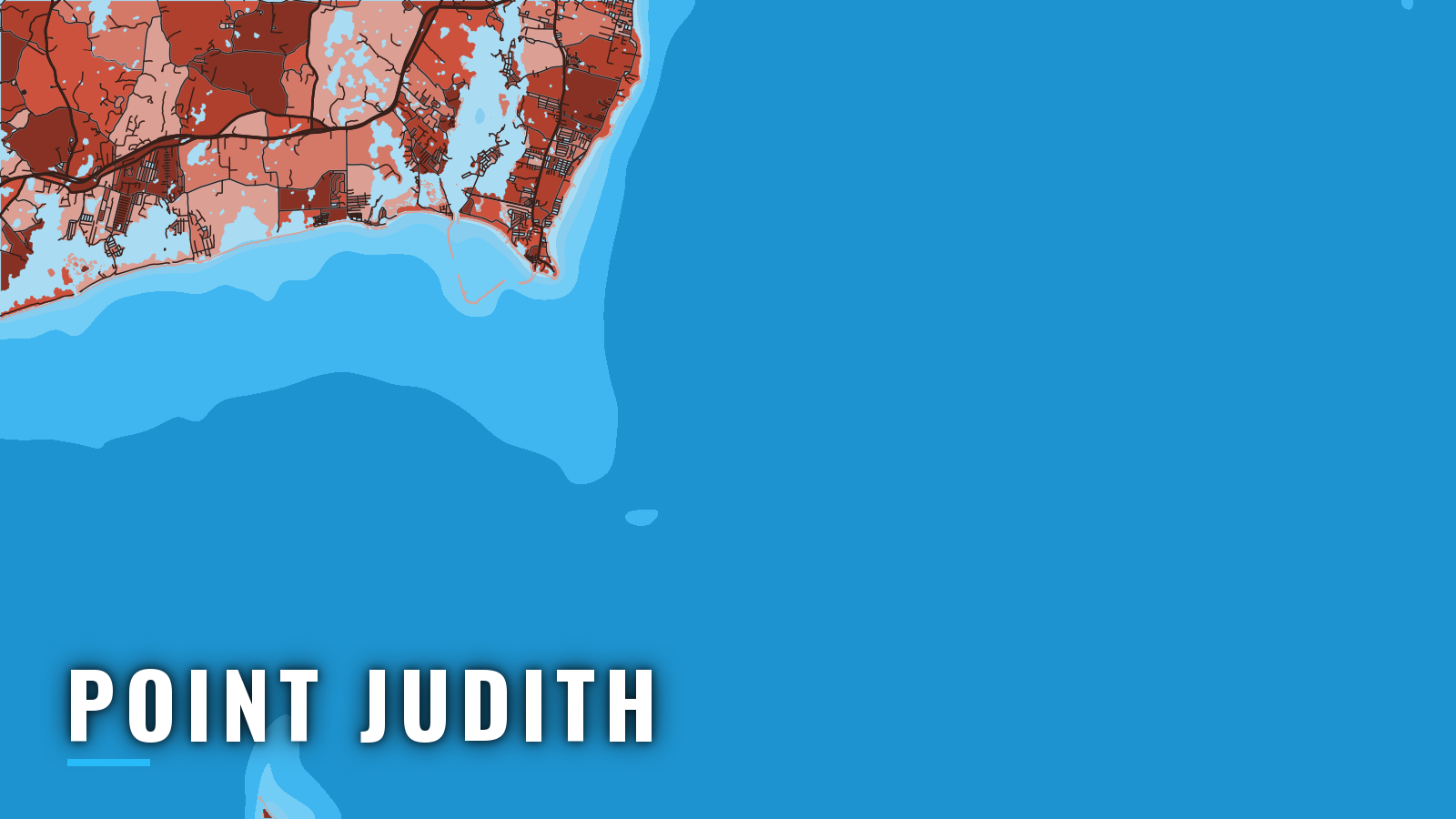

About Point Judith
Galilee, on Point Judith Pond, reaches Block Island Sound through the Breachway and the two breakwater gaps of the Point Judith Harbor of Refuge. The state-run Port of Galilee hosts the commercial fleet and the Block Island ferry, and recreational boats share the channel with them. The water fishes year-round. Small striped bass winter in the salt ponds, fluke, tautog, black sea bass and striped bass fill spring through autumn, and bluefin tuna, yellowfin tuna, bonito and false albacore come in summer. This page covers where to launch, how the gaps tend to behave and what runs each season across Southern New England waters. For size, bag and season rules, use the Rhode Island regulations page.
Access and navigation
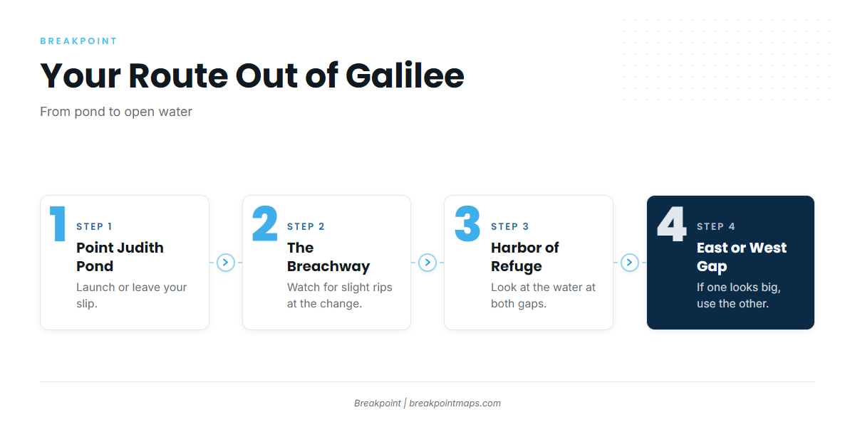
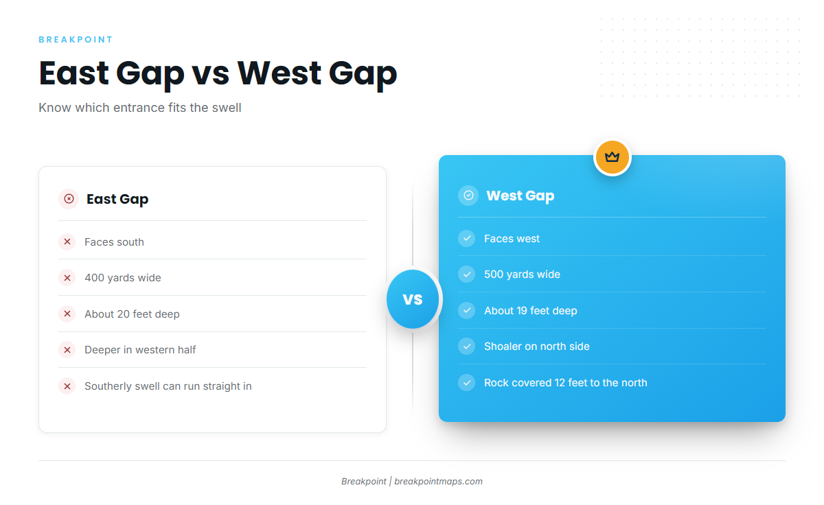
From Point Judith Pond you exit through the Breachway into the Harbor of Refuge, then out an east or west gap.
Public launch and dock options:
- Galilee State Boat Launchstate ramp on Point Judith Pond.
- Point Judith Marinawith Belle Vue Yachting Center, fuel listed.
- Port of Galileestate-managed piers.
The Breachway is the inlet between two rock jetties. According to U.S. Coast Pilot 2, Chapter 7, the current runs about 1.8 knots on the flood and 1.5 knots on the ebb. Slight rips and overfalls form at the change of tide, and higher velocities have been reported.
The two gaps differ in orientation and depth:
- The East Gap faces south, is 400 yards wide and carries about 20 feet, with deeper water in its western half.
- The West Gap faces west, is 500 yards wide and carries about 19 feet, shoaler on its north side, with a rock covered 12 feet near that side.
The Coast Pilot calls the harbor easy to enter for most vessels, "except with a heavy southerly sea." Winds from southeast through southwest build the highest seas in Block Island Sound, because no land interrupts the fetch. A southwest wind tends to fill in at the ramp area most mornings and blow through the afternoon.
This shapes the choice of gap. A southerly swell can run straight into the south-facing East Gap, and on those days the west-facing West Gap might give the easier approach. If you use it, favor its deeper south side and keep clear of the north-side rock.
Wind against current also matters. About 0.7 knot runs off the south entrance, and considerably stronger currents are reported there, especially on the ebb. Wind against the ebb can stand the sea up at the gaps, and local wind can make the tide turn earlier or later than the tables say.
The bottom around the approaches is rocky and irregular, and shoal spots call for care even in a smooth sea. Large boulders extend about 4 miles south-southeast of Point Judith. A wreck covered 12 feet lies about 570 yards southeast of West Entrance Light 2. A wreck covered 6 feet, marked by a lighted buoy, lies about 475 yards west of East Entrance Light 3. Our chart layers are not for navigation, so run on current NOAA charts.
On arrival, look at the water at the gaps before you commit. Check the NWS marine point forecast and the NWS Boston/Norton marine zone forecast, then read wave height and period at the NDBC 44097 Block Island buoy. The forecast is a prediction, while the buoy reports what the water is doing. If one gap looks bigger than you want, use the other.
Fishing conditions
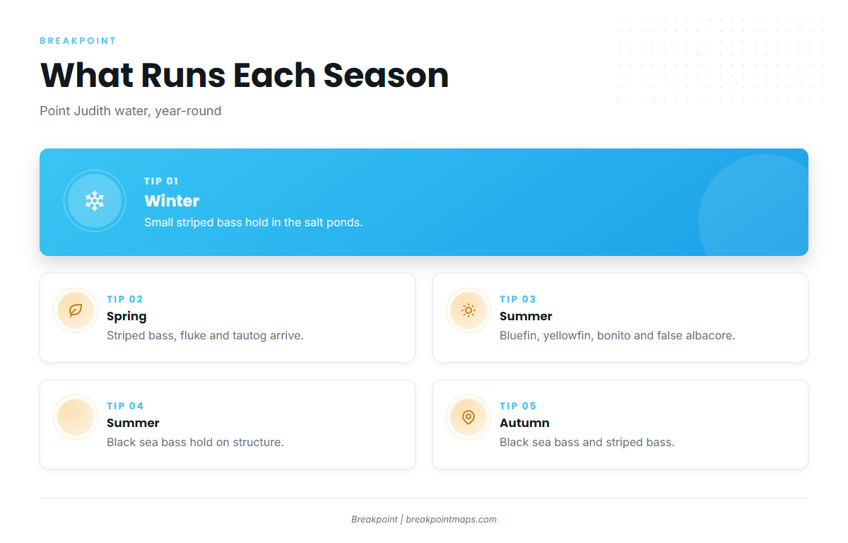
The Rhode Island Department of Environmental Management (RIDEM) Division of Marine Fisheries sets state-waters rules, and seasons and limits can change by notice, so check them before you fish. Rules sit on the Rhode Island regulations page and in the official Rhode Island finfish regulations.
The named grounds:
- Southwest Ledge, the East Grounds and North Rip, all off Block Island.
- Coxes Ledge, offshore.
- Whale Rock.
Winter
Smaller striped bass winter in the salt ponds. Tautog is closed in early winter, so check the rules before you plan around it. Cod cannot be kept recreationally in state waters.
Spring
Striped bass, fluke and tautog fill the spring. Striped bass can show on the Block Island grounds as the water warms, and fluke tend to move onto the inshore flats and edges. Tautog season opens and closes in segments, so check the rules for the current windows.
Summer
Fluke and striped bass lead the summer inshore. Striped bass might hold on Southwest Ledge and the other Block Island grounds, where current and structure tend to stack bait. Black sea bass hold on structure.
The tuna fishery is the main summer draw offshore. Look for bluefin tuna first, and read the regional detail on bluefin in the Northeast. Yellowfin tuna can follow warm water in, and yellowfin in the Northeast covers how they fish here. Tunas fall under federal Highly Migratory Species rules, not state limits.
The OBS SST and Chlorophyll layers help you decide where to look before the run.
Atlantic bonito and false albacore also run in summer. When warm offshore water pushes in, other pelagics such as white marlin can enter the picture, and white marlin in the Northeast covers when that tends to happen.
Autumn
Black sea bass and striped bass carry the autumn. Striped bass can hold on the Block Island grounds, and black sea bass tend to stay on structure into the cooler water.