
About Wachapreague
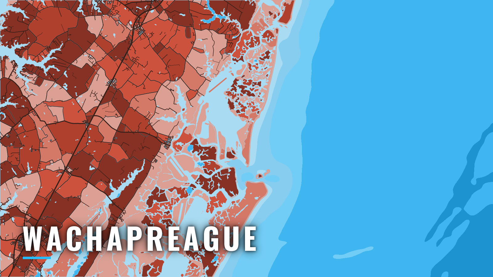
Wachapreague is a small seaside town on Virginia’s Eastern Shore, in Accomack County. Boats reach the Atlantic through Wachapreague Channel and Wachapreague Inlet, between Cedar and Parramore Islands. Inshore flounder trips, nearshore wreck and reef trips, and offshore runs all leave from the same waterfront.
The town sits in the middle of the Mid-Atlantic offshore season, with canyon water to the east. Flounder open the year inshore, offshore tuna and billfish fill the summer, autumn mixes inshore and offshore species, and tautog and striped bass carry the winter. The main targets are flounder, black sea bass, tautog, bluefin and yellowfin tuna, white and blue marlin, mahi-mahi and wahoo.
This page covers where to launch, how the creek and inlet tend to behave, and what the grounds hold by season.
Access and navigation
The town runs the public launch and the slips, and both sit on the Wachapreague waterfront:
- Wachapreague Town Marina boat ramp – the public launch run by the Town of Wachapreague.
- Wachapreague Town Marina – town boat slips for visiting boats.
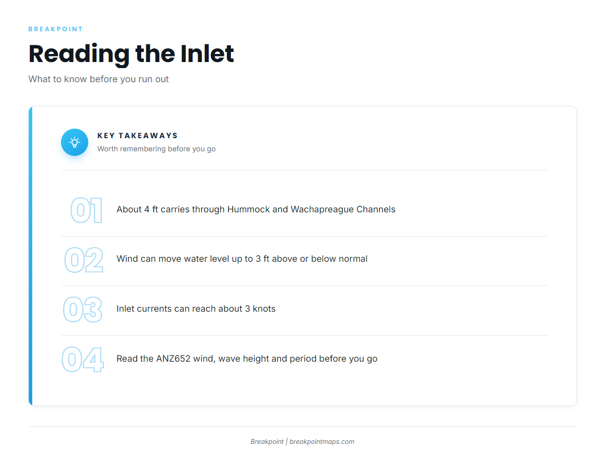
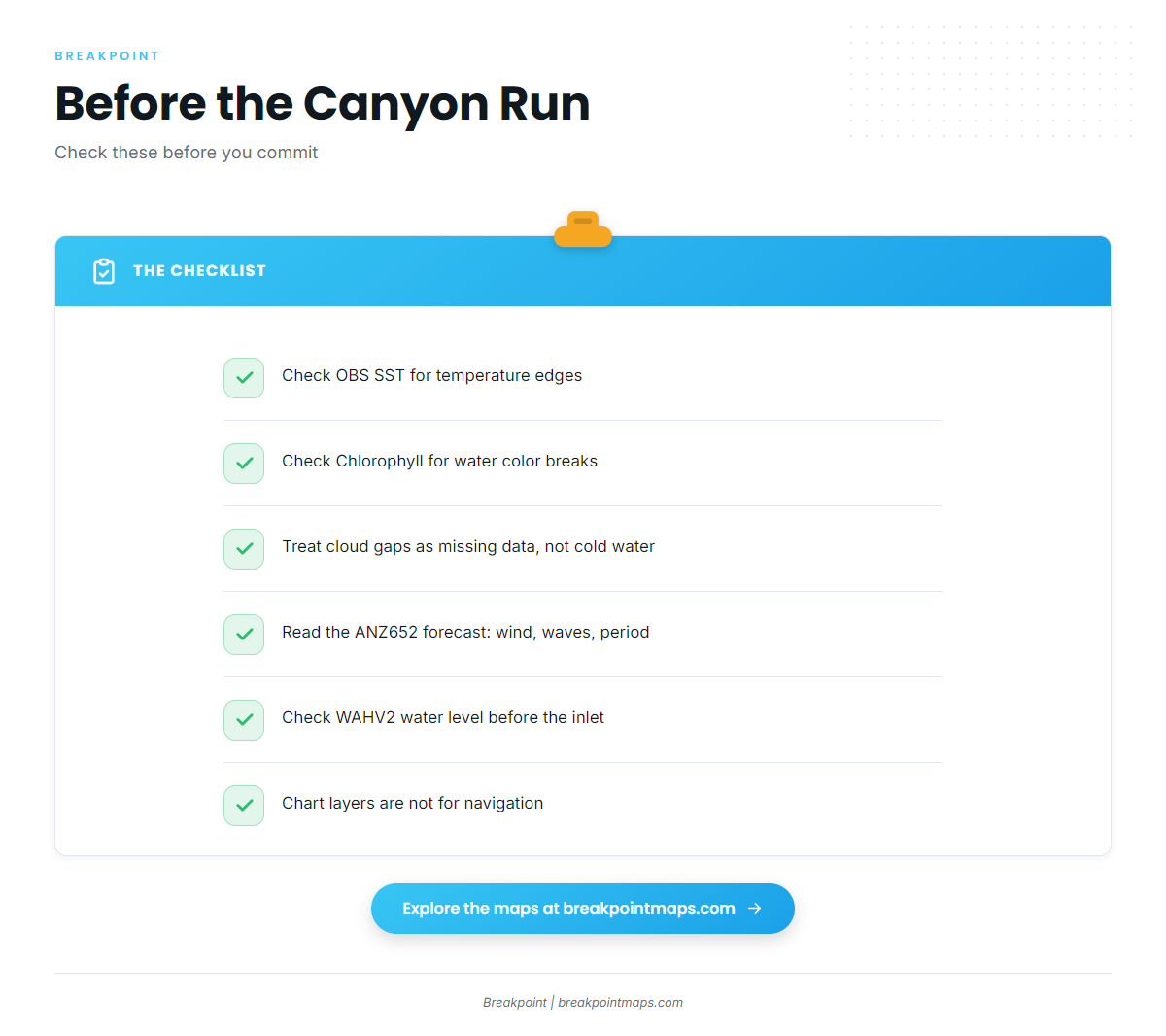
The inside route runs from the inlet through Hummock Channel and Wachapreague Channel to the town. According to Coast Pilot 3, Chapter 8, about 4 ft can be carried along it. Wind affects depth here: westerly winds tend to lower the water and easterly winds tend to raise it, and strong winds of long duration can move depths as much as 3 ft above or below normal. A long westerly blow can take the margin out of the creek before you reach the inlet. The channel edges can also drop from very shallow to deep water abruptly. To check the water level yourself, watch NDBC station WAHV2 at Wachapreague.
The inlet can change quickly. Currents in the inlet and narrow connecting channels can reach about 3 knots where they run strongest, and breakers tend to form on the shoals even in ordinary weather. The entrance is marked by a lighted whistle buoy. Inside, lights and daybeacons are moved as the channel shifts, and buoys on this coast might not mark the best water. The Coast Pilot treats breakers on the shoals as useful marks. There are no harbors of refuge for deep-draft vessels along this coast, and some boats use the inlet for shelter. Horseshoe Lead, southwest of the entrance, has 20 to 30 ft west of the middle ground.
On arrival, look at the water, then read the Chincoteague to Parramore Island forecast for zone ANZ652, which gives wind and wave height and period in numbers. If the inlet looks bigger than you want, stay inside and fish the channels and flats, or wait.
Fishing conditions
The grounds run in the order a skipper meets them: 21 Mile Hill and 26 Mile Hill, Parramore Banks and Parramore reef, the 20 and 30 fathom water, then Poor Man’s Canyon, Washington Canyon and Norfolk Canyon. Pelagic fish tend to set up along temperature edges where warm water meets the canyon walls and shelf.
Check OBS SST and Chlorophyll in Breakpoint before committing to the canyon run. Cloud can block a satellite pass, so a gap in the picture is missing data, not cold water. Chart layers are not for navigation.
Winter
Tautog hold on wrecks and reef. Striped bass work the coastal water, and the rules for each are on the state page.
Spring
Flounder work the channels and flats behind the inlet, which ties back to the water-level notes above. Black sea bass and tautog use nearshore structure such as Parramore reef. Bluefin tuna show up offshore.
Summer
Croaker and weakfish fill the channels and cuts. Offshore, bluefin and yellowfin tuna and billfish set up in the canyons, where the warm edge sits against the canyon walls. White marlin run off the Mid-Atlantic alongside blue marlin. Mahi-mahi show off the Mid-Atlantic as well, and wahoo start to appear.
Autumn
Flounder, bluefish, sea bass, tautog and striped bass return inshore and nearshore while offshore fishing continues. Yellowfin tuna, white and blue marlin and wahoo stay in the mix off the Mid-Atlantic.
Rules and licensing
See our Virginia rules and licensing page, and check the VMRC saltwater recreational rules before you fish. Federal HMS permits are required to fish for tunas and billfish.
Other Virginia ports: Chincoteague, Virginia Beach.