
About Ventura
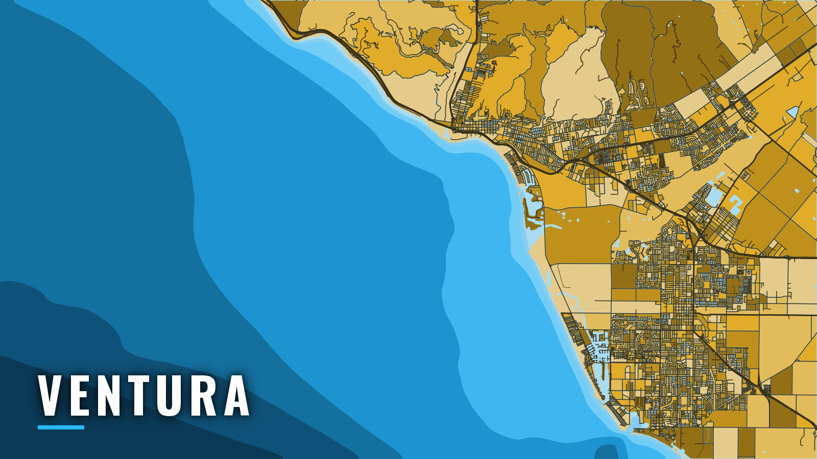
Ventura Harbor sits in Pierpont Bay on the mainland side of the Santa Barbara Channel, between Santa Barbara to the northwest and Channel Islands Harbor to the southeast. The channel opens to Anacapa, Santa Cruz, Santa Rosa and Santa Barbara Islands.
Fishing here runs year-round in California. The Southern California Bight species mix includes white seabass, yellowtail, calico bass, halibut, bluefin tuna and lingcod. Below are the ramp and marinas, how the entrance and channel tend to behave, and what each season brings.
Access and navigation
Ventura Harbor has one public ramp and several marinas. Each name below links to its own page where one exists.
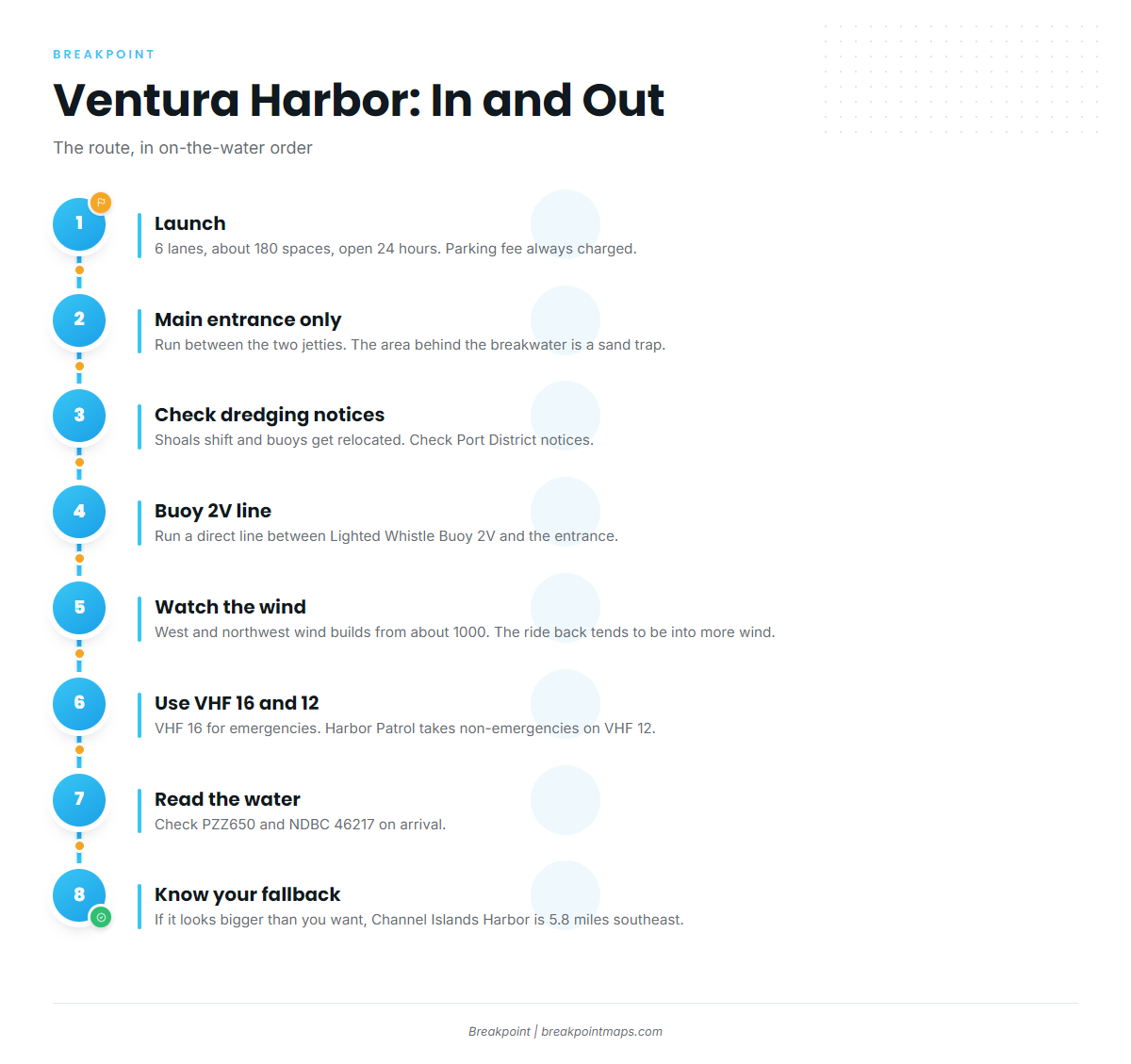
- Ventura Harbor Public Launch Ramp – 6 lanes, about 180 parking spaces, open 24 hours. A parking fee is always charged, and every vehicle registers its license plate.
- Kinship Marina – slips, fuel listed.
- Safe Harbor Ventura Isle – slips, fuel listed.
- Ventura West Marina – slips.
- Portside Ventura Marina – slips.
- Ventura Harbor Village Marina – slips.
The entrance runs between two jetties, behind a 1,800-foot detached breakwater, per the NOAA Coast Pilot 7 entrance notes. Use the main entrance only. The area behind the breakwater is a sand trap that can shoal heavily. About 500,000 cubic yards of sand moves down the coast each year, so the entrance channel and sand trap need annual dredging, which the Army Corps usually does in the first quarter. Buoys in the channel and harbor are frequently relocated as the shoals change, so check the Ventura Port District dredging notices before you go. The recommended course in and out is a direct line between Lighted Whistle Buoy 2V and the breakwater entrance.
West and northwest winds blow nearly every day in the Santa Barbara Channel. They usually begin about 1000 and strengthen until sundown, so the ride back tends to be into more wind than the ride out. In northwest weather, seas tend to build in a belt about 6 miles wide along the north shores of the islands. Locals call it Windy Lane, and boats crossing from the mainland might meet heavier water there as they close on the islands.
Winter adds its own hazards. Breakers can form in the approach to the entrance channel when west winds are blowing. Stiff northeasters occasionally blow near the east end of the channel in fall and winter. They can come up without warning, usually at night in clear, dry weather, when the barometer is high or rising fast. Sea fog from Point Hueneme to Santa Barbara is most frequent from July through October, and August and September tend to be the worst.
The Point Mugu Sea Range broadcasts hazardous-operations notices on VHF 11 and 16. Ventura Harbor Patrol takes emergencies on VHF 16 and non-emergencies on VHF 12.
Channel Islands Harbor lies 5.8 miles southeast, per the Coast Pilot, and is the alternative entry when the Ventura entrance looks like more than you want.
Forecasts miss, and the buoys in the channel move. When you reach the harbor, look at the water, read the East Santa Barbara Channel forecast and check NDBC 46217 Anacapa Passage. If the water looks bigger than you want, switch to the Channel Islands Harbor approach.
Fishing conditions off Ventura
Anacapa Island and Santa Cruz Island are the main grounds, with Santa Rosa and Santa Barbara Islands farther out. The islands hold yellowtail around the Channel Islands and a long list of reef and kelp species. Bottomfish seasons and depth limits change through the year, so read the CDFW groundfish regulations summary, including its in-season changes, before you fish. The islands also carry marine protected areas, so check CDFW’s MPA maps for boundaries before you set up.
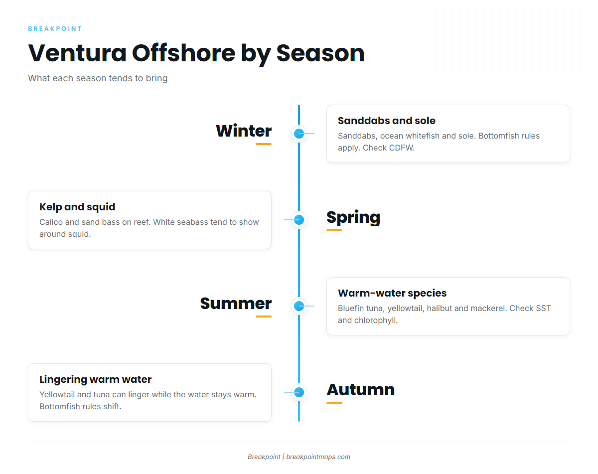
Winter
Ocean whitefish, sole and sanddabs lead the winter list. Bottomfish rules apply to rockfish and lingcod, so check CDFW before you plan around them.
Spring
Calico bass and sand bass work kelp and rocky reef around the islands. White seabass tend to show around squid near the islands. Yellowtail start to appear as the water warms.
Summer
Bluefin tuna, yellowtail, halibut and mackerel make up the summer list. Warm-water yellowtail follow water temperature, and warm water that pushes close to the islands can bring them with it. Before you commit to the run, check OBS SST and Chlorophyll in the app to see where warm, clean water sits. Chart layers are not for navigation.
Autumn
Yellowtail and tuna can linger while the water stays warm. Rockfish and lingcod round out the autumn list, but bottomfish rules shift in autumn, so check CDFW before you fish them. Night northeasters can show up this time of year, so watch the barometer.