
About Cortez
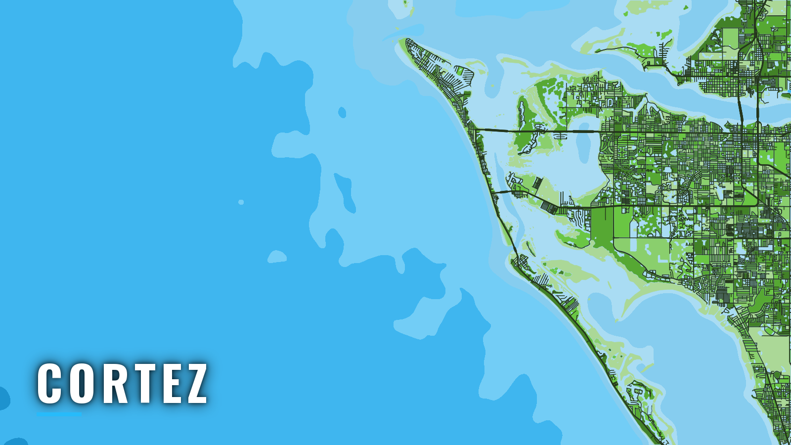
Cortez is a historic commercial fishing village on Sarasota Bay in Manatee County. Boats reach the Gulf through Longboat Pass, between Longboat Key and Anna Maria Island, and the water beyond fishes the eastern Gulf shelf, which the Gulf fishing guide covers in full. Past the pass, the Gulf of America fishes year-round. Anglers target gag and red grouper, mangrove, lane and red snapper, king and Spanish mackerel, cobia, permit, hogfish and goliath grouper. Species detail is in the species guides linked in the seasons below. Before you fish, check Florida rules and seasons and confirm current FWC regulations.
Access and navigation
Cortez sits inside Sarasota Bay, so every offshore trip starts with a run through protected water to Longboat Pass. The ramp and marina list is short, and the pass is where the day is decided.
Marinas
- Cove Sound Marina – marina on the Cortez side of Sarasota Bay.
Route to the pass
From Cortez you cross Sarasota Bay and Anna Maria Sound to reach Longboat Pass. The Coast Pilot puts the pass about 9 miles north-northwest of Big Sarasota Pass.
Pass behavior and the bridge
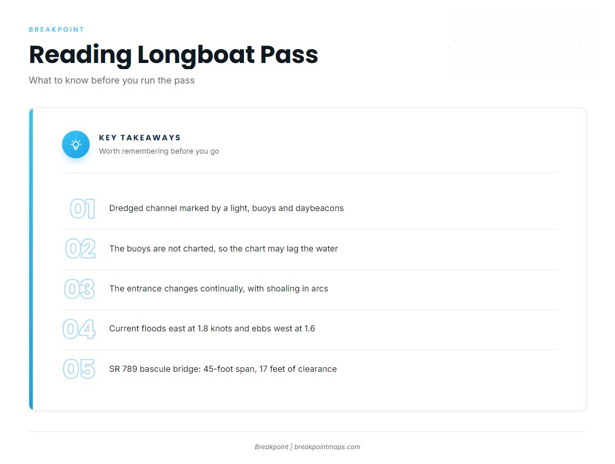
U.S. Coast Pilot 5 describes Longboat Pass as a dredged channel marked by a light, buoys and daybeacons. The buoys are not charted, so the chart may lag the water. The entrance changes continually, with shoaling extending west and south in an arc from the south end of Anna Maria Island, and west from the northwest end of Longboat Key.
Average current floods east at 1.8 knots and ebbs west at 1.6 knots. Because the ebb runs west, it can stand up against a west wind, and the pass tends to look bigger on that combination.
The SR 789 bascule bridge has a 45-foot span and 17 feet of clearance. The bridgetender monitors VHF-FM channel 9.
Alternative approach
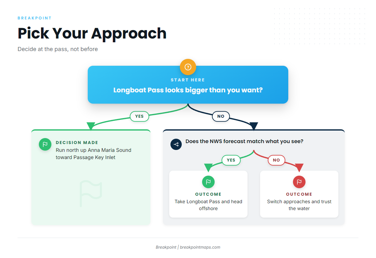
If Longboat Pass looks bigger than you want, you can run north up Anna Maria Sound along Anna Maria Island toward Passage Key Inlet and the Tampa Bay entrance.
Before you go
On arrival, look at the water and check the official NWS Tampa Bay coastal waters forecast. Switch approaches if conditions look bigger than you want; the forecast is only a forecast.
Fishing conditions
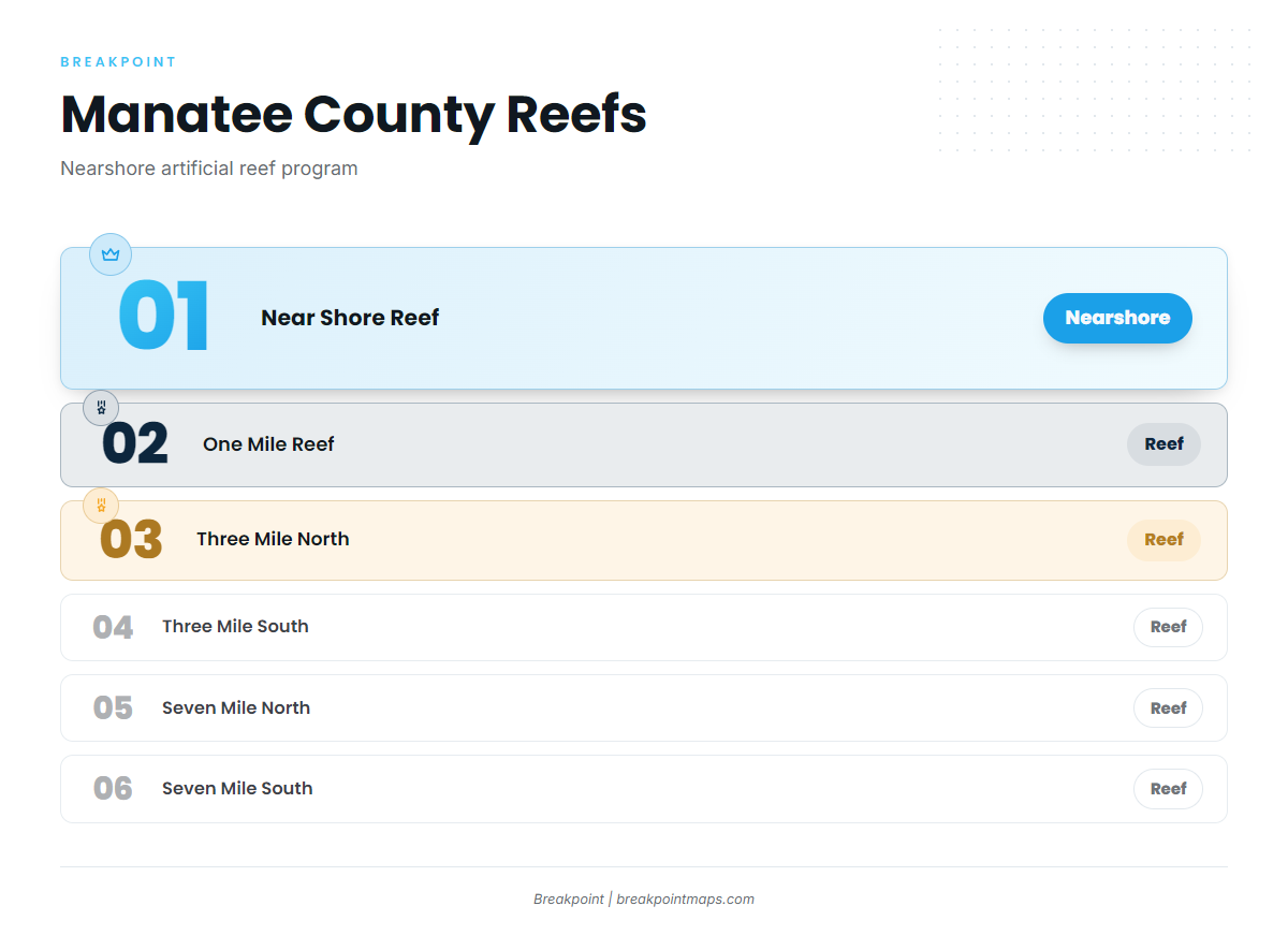
The nearshore grounds are the Manatee County artificial reefs, run under the Manatee County artificial reef program:
- One Mile Reef
- Three Mile North
- Three Mile South
- Seven Mile North
- Seven Mile South
- Near Shore Reef
Farther out, ledges and hard bottom hold grouper and snapper.
You can view the Manatee reefs and the shelf with the app’s Chart Contours layer. Chart layers are not for navigation.
Winter
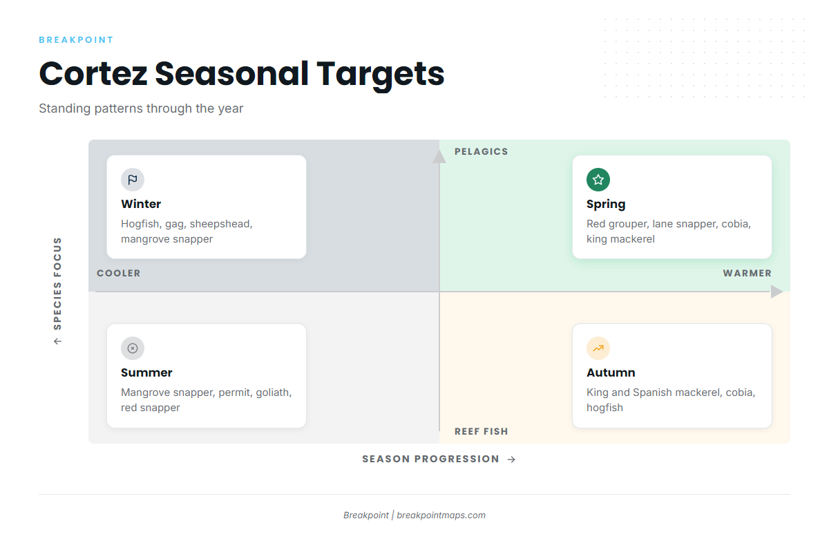
Hogfish, gag grouper, sheepshead and mangrove snapper are the winter targets. Cold fronts can arrive from fall through spring with strong, gusty winds, so pick your window between fronts.
Spring
Red grouper, mangrove and lane snapper, cobia and king mackerel make up the spring catch. Cobia show up on the reefs and wrecks, and the cobia fishing guide covers them in detail. The kingfish run is in the king mackerel fishing guide.
Summer
Mangrove snapper, permit, goliath grouper, red snapper, yellowtail snapper, and gag and red grouper are all in play. Red snapper season dates are set by FWC. Thunderstorms are most likely from June through September, in the late afternoon and evening, which matters for the run home and for the pass on return.
Autumn
King and Spanish mackerel, red snapper, hogfish, cobia and sharks are the offshore targets, with snook, redfish and spotted seatrout inshore. For the mackerel run, see king mackerel in the Gulf. For cobia on the return, see cobia fishing in the Gulf. Cold fronts begin to return.