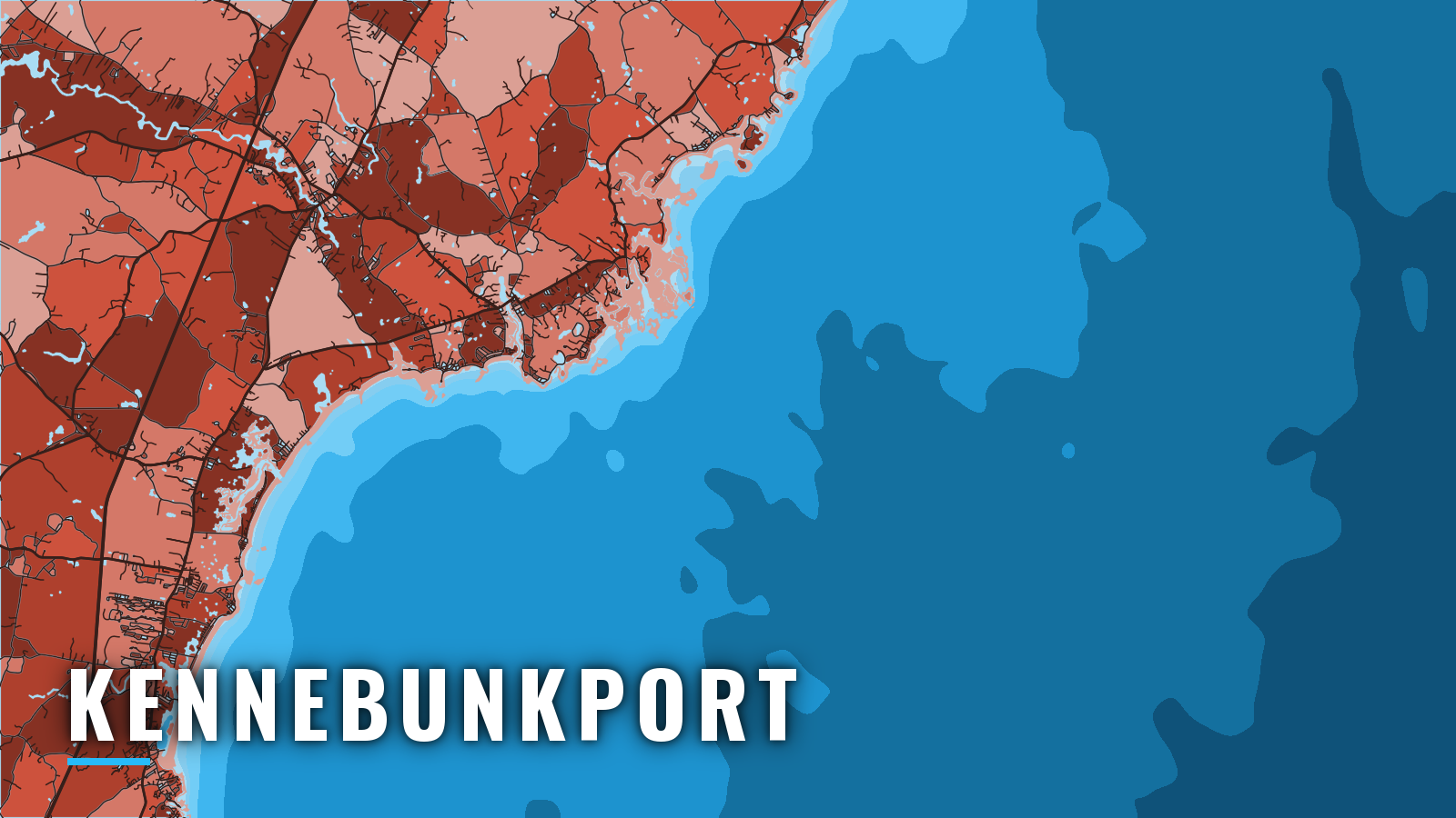

About Kennebunkport
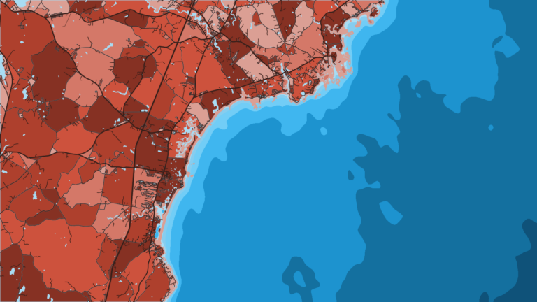
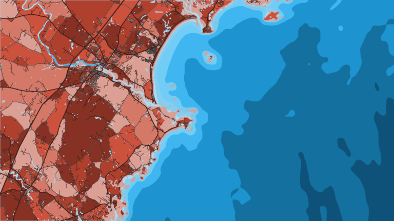
Kennebunkport sits on the jettied Kennebunk River on the southern Maine coast, where the river opens onto the Gulf of Maine. Wells lies to the southwest and Saco and Biddeford to the northeast. Cape Porpoise Harbor is about 2.5 miles northeast. Inshore trips work the river mouth and ledges, and the haddock grounds are offshore.
Inshore, the targets are striped bass, bluefish and Atlantic mackerel. Haddock come from the offshore ledges. Maine DMR sets size, bag and season rules, so check the Maine DMR fishing regulations before fishing. Anyone fishing Maine saltwater registers once a year with the DMR saltwater registry and carries proof.
Access and navigation
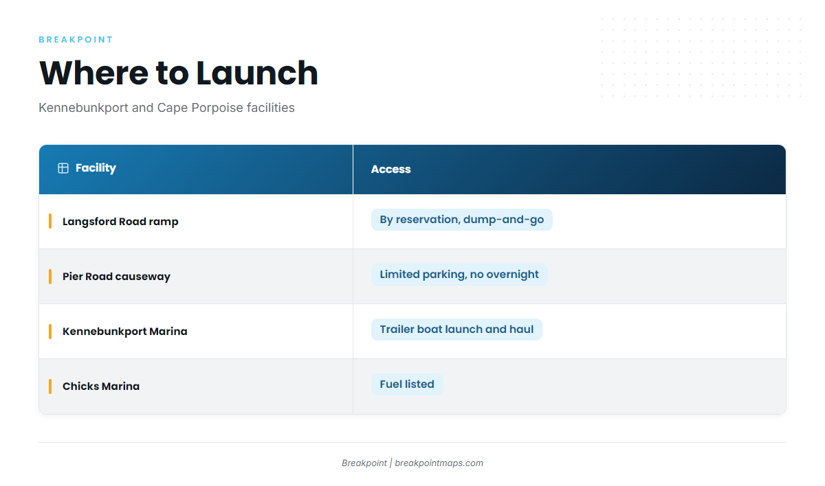
Four facilities serve the port. If you tow in, confirm launch access and parking with the facility first.
- Langsford Road boat rampCape Porpoise area dump-and-go ramp by reservation, open to residents and Cape Porpoise area mooring holders, with no truck or trailer parking
- Pier Road causeway launchCape Porpoise launch with limited parking, no parking charge and no overnight parking
- Kennebunkport Marinaramp for launching and hauling trailer boats
- Chicks Marinamarina with fuel listed
Kennebunk River entrance
The entrance is the passage between the stone jetties, marked by Kennebunkport Breakwater Light 6. Southerly weather with heavy seas running on an ebb can make entry difficult. Swell running into the river can reach the channel between the jetties, and an ebb current running out against incoming southerly swell tends to steepen the seas there.
The channel is reported to change often, so charted depths might not match the water you find. Project depth is 8 ft to nearly Buoy 10, and 6 ft beyond. The NOAA Coast Pilot 1, Chapter 9 covers the Kennebunkport approaches in detail.
Approach hazards
Two buoys and two spindle daybeacons mark the approach and the principal dangers. The charted approach passes east of the buoys. Some local boats pass between the 2 daybeacons, but an unfamiliar boat should not.
- Fishing Rock lies about 0.6 mi south of Breakwater Light 6. A reef with 7 ft least depth extends 0.8 mi south of it.
- Oaks Reef, a foul ledge area, extends about 0.5 mi south of Kennebunk Beach.
- Walkers Point security zone covers Walkers Point and the coves on both sides and extends about 0.5 mi south. Its southern boundary runs about 0.5 mi south-southeast from Cape Arundel, on the east side of the approaches. Plan your track around it.
Cape Porpoise Harbor alternative
Cape Porpoise Harbor, about 2.5 mi northeast, is the other way in. You enter by a dredged bar channel by Goat Island Light. Old Prince, a ledge with a rock awash, extends 400 to 500 yards southeast of Goat Island Light. Two daybeacons stand close to the edges of the dredged channel, one near the westerly edge and one near the easterly edge.
In summer, lobster pot buoys fill the channel and the outlying waters. They can foul a prop, so run them with a lookout.
Before you commit to the entrance
When you arrive, look at the water at the jetties and read the NWS ANZ154 marine forecast. It covers Cape Elizabeth to the Merrimack River, out 25 NM. If the entrance looks bigger than you want, use Cape Porpoise instead, and make the final call on what you see in front of you.
Fishing conditions
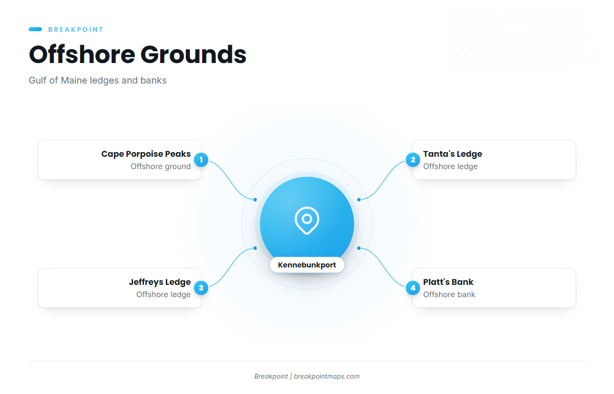
Offshore, the port reaches the Gulf of Maine ledges and banks below. Our OBS SST, Chlorophyll and Chart Contours layers show where temperature breaks and structure line up around Jeffreys and Tanta’s. Chart layers are not for navigation.
The named grounds:
- Cape Porpoise Peaks
- Tanta’s Ledge
- Jeffreys Ledge
- Platt’s Bank
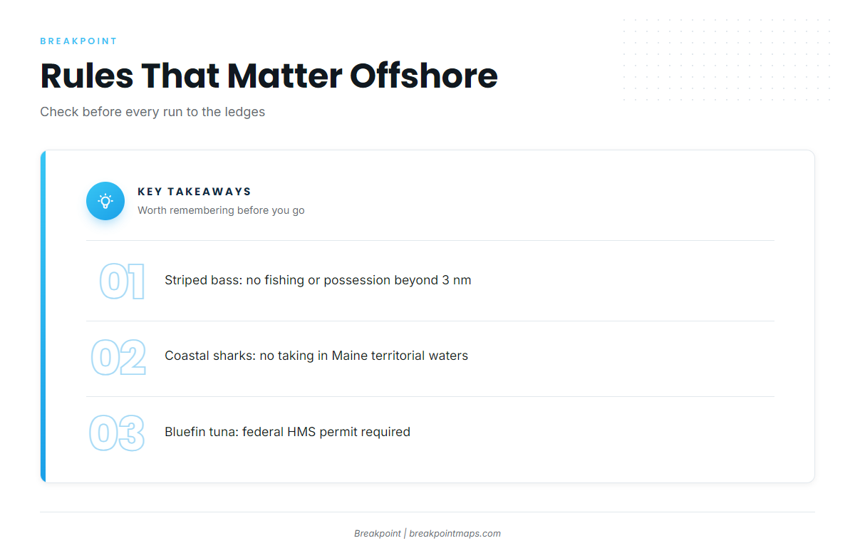
Three rules apply on the run out. Striped bass may not be fished for, taken or possessed in federal waters beyond 3 nm, which matters on every trip to the ledges. Taking coastal sharks in Maine territorial waters is prohibited. Fishing for bluefin tuna requires a federal HMS Angling permit. Check the DMR rules for everything else.
Winter
Winter trips depend on the ANZ154 forecast, and the window to fish is narrow. Haddock may not be possessed in March under DMR rules, so read the DMR page before you plan a ledge trip. Treat any winter run as a day-by-day call on wind, wave height and period.
Spring
Striped bass arrive inshore, and the timing can shift from year to year. Our guide to the spring striper run covers how that push tends to build along the coast. Haddock hold on the offshore ledges. Spring splits between the river mouth and the ledges, and water temperature might decide which one pays first. The OBS SST layer shows where the cooler and warmer water sit.
Summer
Striped bass and Atlantic mackerel fill the inshore water, and mackerel double as bait for the bigger fish. Lobster pot buoys crowd the approaches, so keep a lookout on every run in and out.
Autumn
Striped bass remain the main target. DMR sets a short cod window, so check the agency page for the dates and limits before you fish.