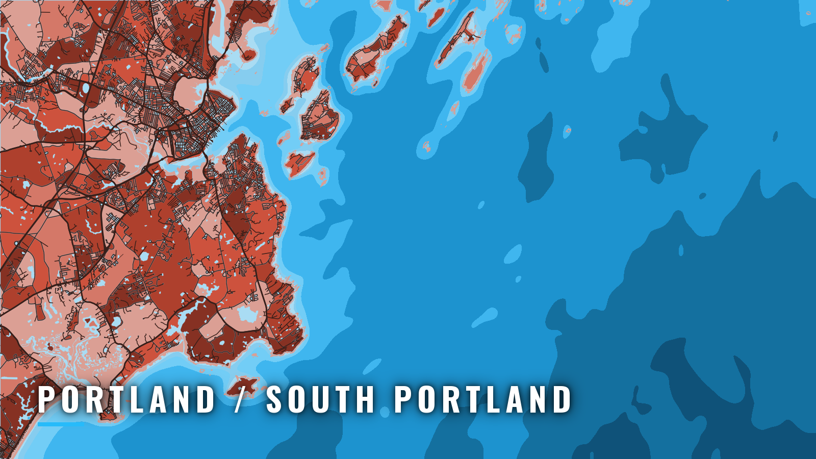

About Portland / South Portland
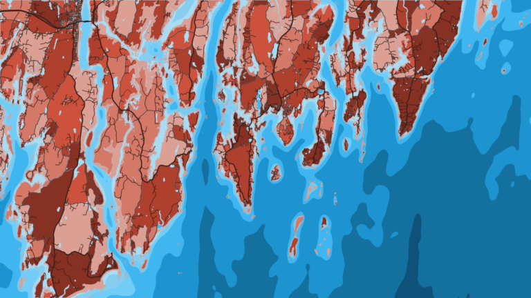
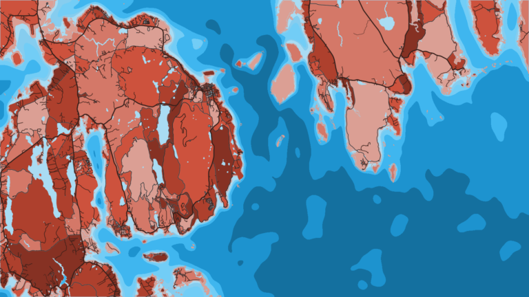
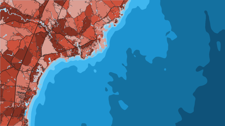
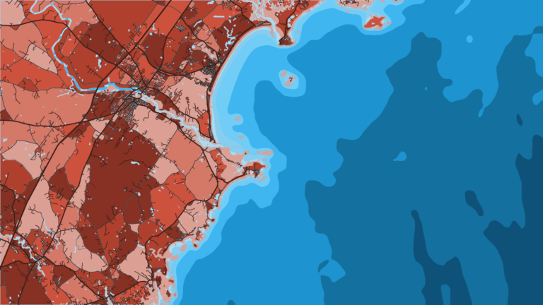
Portland Harbor sits at the western end of Maine‘s Casco Bay, which holds 136 islands and opens to the Gulf of Maine. The South Portland waterfront near Spring Point lies about 1.8 miles northwest of Portland Head Light. Boats from either side of the harbor reach the same Gulf of Maine grounds.
The port fishes groundfish on the offshore ledges and banks, mainly haddock and pollock. Striped bass and mackerel work the inshore water, and bluefin tuna and blue shark show up offshore later in the year. Rules change by species and season, so check Maine DMR before you fish.
This page covers where to launch, how the harbor mouth is laid out, and what the grounds produce by season.
Access and navigation
Public ramps and a full-service marina serve both sides of the harbor:
- Eastern Promenade Boat Launch – Two cement ramps, a float, trailer parking and restrooms. A launch fee applies.
- South Portland Municipal Boat Ramp – At Bug Light, off Route 77, with two cement ramps, a float and a large lot. A launch fee applies.
- Spring Point Marina – Full-service marina at Spring Point, South Portland.
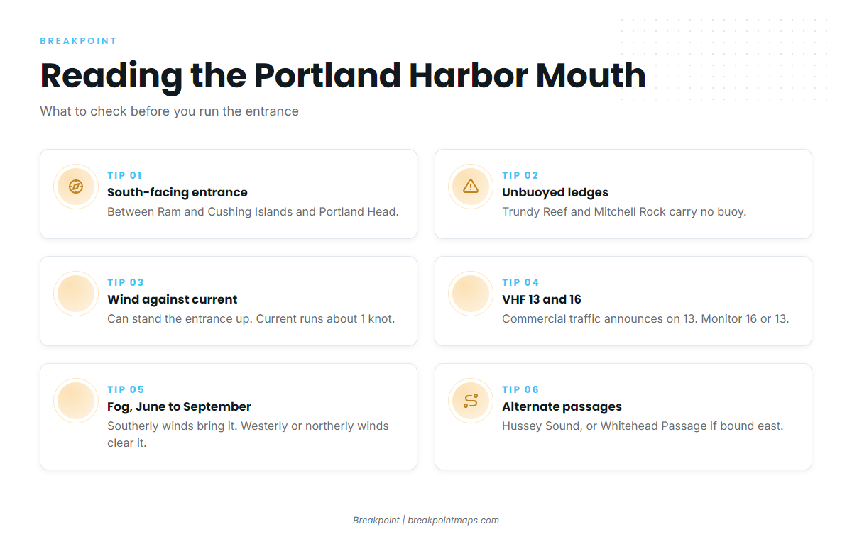
The main entrance faces south, between Ram and Cushing Islands on the north and Portland Head on the south. Inbound boats pass Spring Point. The NOAA Coast Pilot 1 notes describe West Cod Ledge, a 6.5-mile area of broken ground and isolated shoals that sets across the entrance from the northeast and southwest. A second shoal chain runs from Ram Island Ledge to Cape Elizabeth: Witch Rock, Jordan Reef, Pine Tree Ledge, Willard Rock, Trundy Reef, Broad Cove Rock and Mitchell Rock. All are buoyed except Trundy Reef and Mitchell Rock. Deep, clear channels run between them.
Tidal current at strength can run about 1 knot in the entrance. When wind runs against it, the entrance may stand up steeper than the open water outside.
A Traffic Separation Scheme covers the approaches. It is recommended for vessels entering and leaving, though it is not necessarily intended for small vessels. Commercial vessels announce their intentions on 13 when they get underway or enter the harbor. Boats on the Recommended Two-Way Routes are asked to monitor 16 or 13. Speed limits step down from 20 knots outside the Spring Point to Fort Scammel line, to 15 knots, then to 10 knots farther in.
Hussey Sound, a Recommended Two-Way Route toward Cousins Island, is the main alternative to the south-facing entrance. Whitehead Passage, between Cushing and Peaks Islands, is the direct way out for boats bound east. It is narrow, and prevailing winds there tend to be southwest. An obstruction covered 5 feet has been reported between Daybeacon 3 and Buoy 6, near 43°38.9’N, 70°11.6’W. Diamond Island Pass runs between Peaks Island and the Diamond Islands.
Fog is most frequent from June through September. East through south to southwest winds can bring it in, and westerly or northerly winds tend to clear it. The heads of bays and rivers are often clearer when it is thick outside. Prevailing summer winds are southerly, and the heaviest gales usually come from the northeast or east.
Read the NWS Gray coastal marine forecast for wind, wave height and period. NDBC buoy 44030 (Western Maine Shelf) reads the shelf, not the harbor mouth.
Check the water and the NWS forecast when you arrive. If the main entrance looks bigger than you want, consider Hussey Sound, or Whitehead Passage if you are bound east.
Fishing conditions
Jeffreys Ledge and Platts Bank are the named grounds. Both are also worked from Kennebunkport, Saco and Biddeford and Boothbay Harbor.
Haddock and pollock are the core groundfish. Bluefin tuna fish the same water later in the year, and striped bass work the inshore side. Check Maine DMR fishing regulations before you fish. A federal HMS permit is required for bluefin and other tunas, and the DMR tuna and shark page covers the state side.
The OBS SST, Chlorophyll and Chart Contours layers in Breakpoint help show where Gulf of Maine water sets up over the ledges. Chart layers are not for navigation.
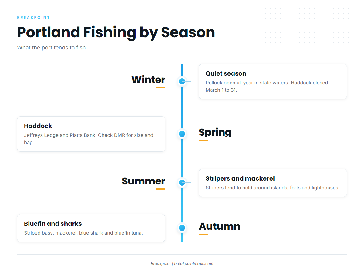
Winter
Winter is the quiet season. Pollock is open all year in state waters. Haddock may not be possessed from March 1 to March 31.
Spring
April haddock on Gulf ledges is the main spring fishery, and Jeffreys Ledge and Platts Bank are the places to look. Check Maine DMR for the haddock size and bag limits before you go.
Summer
Boat-caught striped bass tend to come from shallow water around the islands, forts and lighthouses. Check DMR for the slot and the hook rules. You can jig mackerel around the commercial docks from summer through fall, though they tend to vanish when bluefish move in. In some years bluefin come close to Casco Bay. Fog peaks June through September.
Autumn
Striped bass, Atlantic mackerel, blue shark and bluefin tuna all work the water. Taking coastal sharks, including shortfin mako, is prohibited in Maine territorial waters. The cod season in state waters runs September 1 to October 31.