
About Newburyport
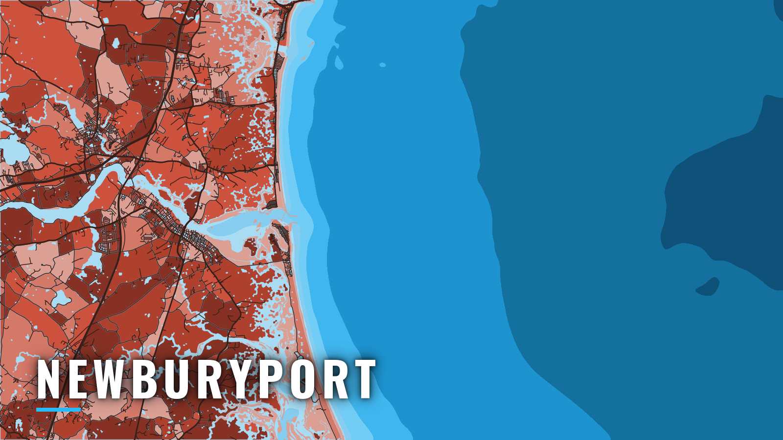
Newburyport sits on the Merrimack River about 3 miles above the jettied river entrance, with Plum Island Point to the south and Salisbury Beach to the north. The river opens onto Ipswich Bay, which runs south to Cape Ann, and onto the Gulf of Maine. Boats fish the river mouth and the bay, and run offshore to Jeffreys Ledge and Stellwagen Bank.
The fishing runs from spring through autumn. Targets are striped bass, giant bluefin tuna, haddock, bluefish, Atlantic mackerel and sharks. For sizes and limits, see the Massachusetts rules.
Access and navigation
You can launch at a city or state ramp on the river, or keep the boat at one of the Newburyport marinas.
Ramps and marinas:
- Cashman Park Boat Launch – city launch on the river, run by the Harbormaster.
- Salisbury Beach State Reservation – state boat ramps on the north side of the river mouth, run by DCR.
- Salisbury Town Wharf – town ramp in Salisbury.
- Newburyport Seawall – ramp access on the river.
- Newburyport Harbor Marina – marina with fuel listed.
- Hilton’s Marina – river marina.
- Newburyport Boat Basin – river marina.
- Windward Yacht Yard – marina and yard.
- Newburyport Central Waterfront Docks – city docks, managed by the Harbormaster.
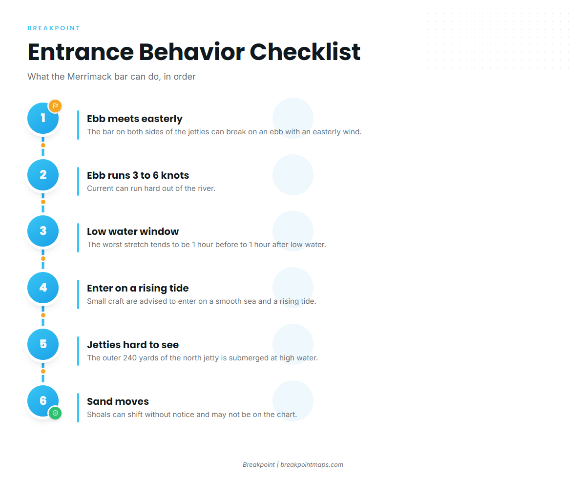
The NOAA Coast Pilot notes that the bar on both sides of the jetties can break on an ebb tide with an easterly wind. The ebb can run 3 to 6 knots out of the river, and the worst stretch tends to be from about 1 hour before to 1 hour after low water. Small craft are advised to enter on a smooth sea and a rising tide.
The outer 240 yards of the north jetty is submerged at high water, and both jetties can be hard to see at high water, at night and in low visibility. The sand south of the submerged jetty and in part of the channel changes depth constantly. Bar shoals move faster than charts and buoys are updated, so they can shift without notice and may not appear on the chart.
Inside the river, the current is strong and tends to run hardest along the south shore at the anchorage. Boats anchored off the American Yacht Club have dragged. Anchoring is in the channel about 400 yards below the highway bridge, favoring the north side. Headway speed applies near the docks.
If the bar looks rough, wait for the flood and a smooth sea. The river and Joppa Flats stay inside it.
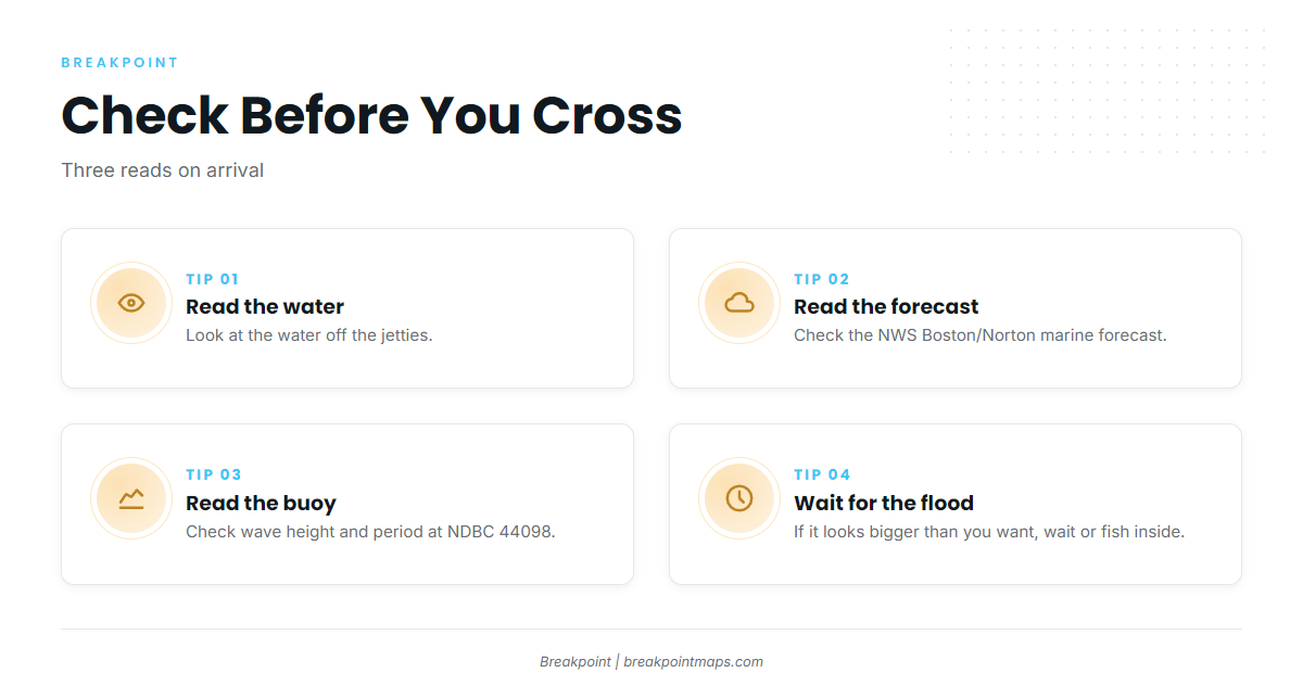
On arrival, look at the water off the jetties. Read the NWS Boston/Norton marine forecast, then check wave height and period at NDBC buoy 44098 on Jeffreys. If conditions look bigger than you want, wait for the flood or fish inside. Check the Newburyport Harbormaster notices page before you launch.
Fishing conditions
The grounds run from inside to outside: the river mouth and jetties, Joppa Flats, Ipswich Bay, Jeffreys Ledge, then Stellwagen Bank, which lies across the mouth of Massachusetts Bay off Boston Harbor. Offshore fishing here is part of the wider Gulf of Maine picture. Buoy 44098 gives the sea-state read for the ledge.
On Jeffreys Ledge, we pair OBS SST and Chlorophyll with Chart Contours to decide where to look first. The chart layers are not for navigation.
| Ground | Type | What it fishes |
|---|---|---|
| River mouth and jetties | Inlet | Striped bass, bluefish |
| Joppa Flats | Flats | Striped bass |
| Ipswich Bay | Bay | Striped bass, bluefish, mackerel |
| Jeffreys Ledge | Ledge | Haddock, sharks, giant bluefin tuna |
| Stellwagen Bank | Bank | Giant bluefin tuna, sharks |
Winter
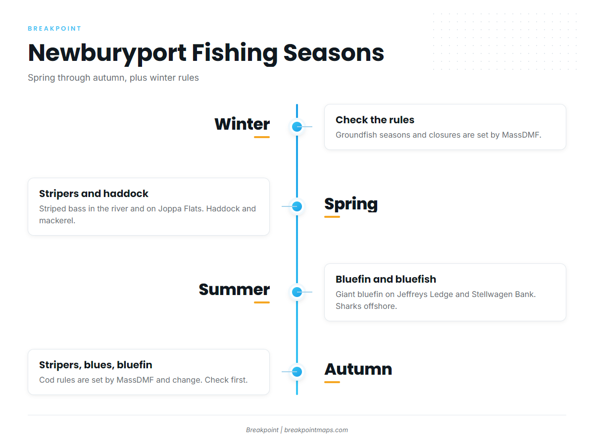
The Massachusetts Division of Marine Fisheries sets groundfish seasons and closures, so check the rules before planning a trip. The caution about ebb tide, easterly wind and low water at the bar still applies, and the jetties are hard to see at night and in low visibility.
Spring
Striped bass arrive in the river and on Joppa Flats. See striped bass in the Northeast for the species picture. Haddock and Atlantic mackerel round out the spring list. Check MassDMF for the striper slot and the haddock rules before fishing.
Summer
Striped bass and bluefish work the river mouth and Ipswich Bay. Giant bluefin show up on Jeffreys Ledge and Stellwagen Bank; see bluefin in the Northeast for the details. Bluefin require an HMS Angling permit, and NOAA’s Highly Migratory Species office sets the limits. Sharks are found offshore. MassDMF lists which species are permitted and which are prohibited, so check it before you keep one.
Autumn
Striped bass, bluefish and giant bluefin are the targets. MassDMF sets cod retention and closure windows, and they change, so check before fishing.
To see these grounds laid out against the day’s water, find Newburyport in the state and port guides on breakpointmaps.com.