
About Southport
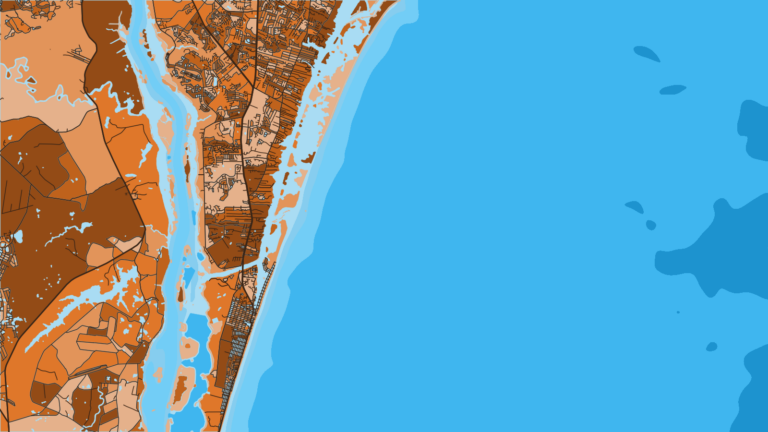
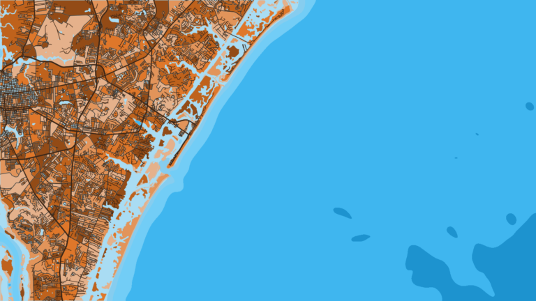
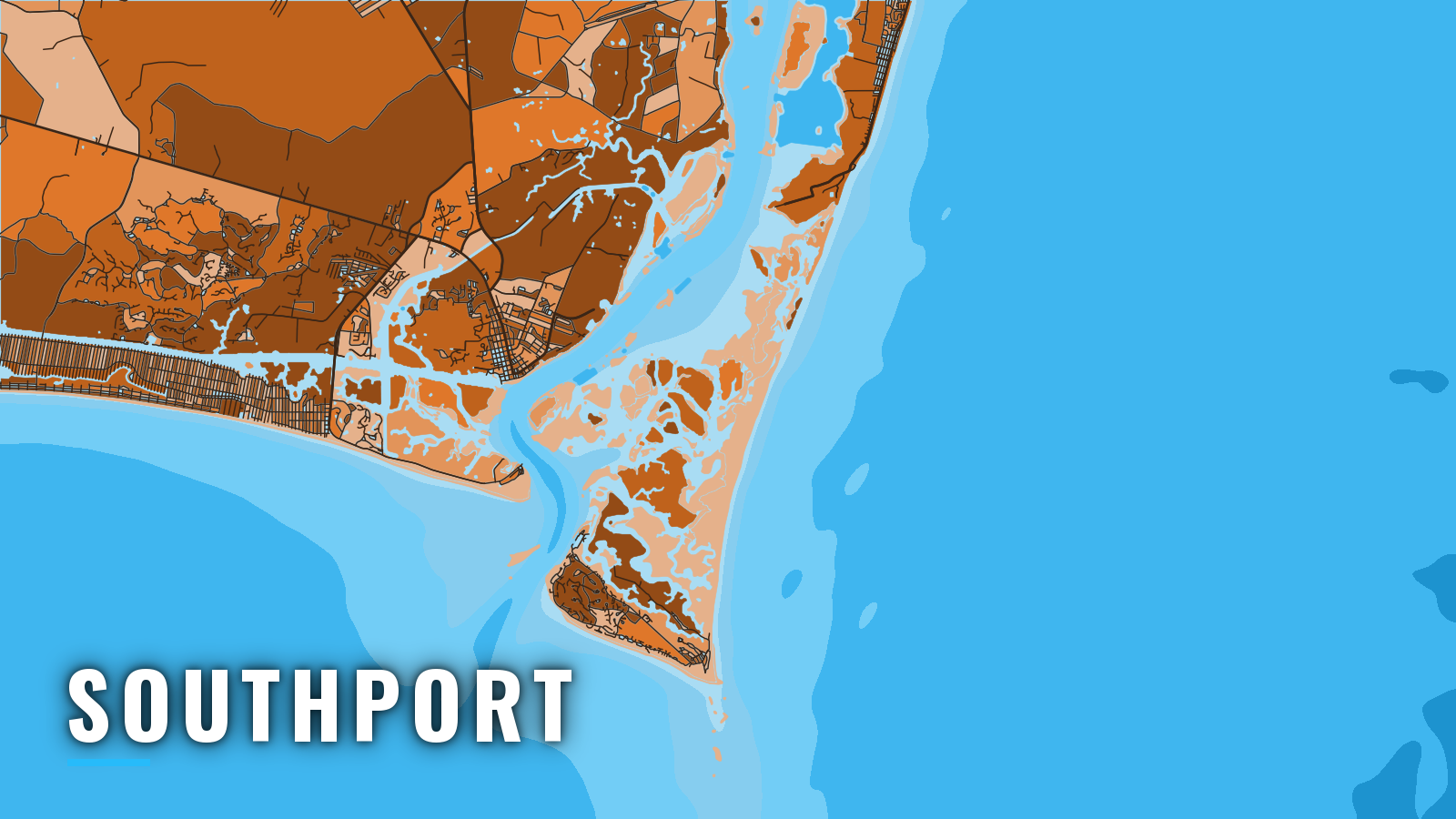
Southport sits on the west bank of the Cape Fear River, about 3 miles above its mouth, and opens to Long Bay. Boats reach the ocean over the Cape Fear River bar, with nearshore reefs off Oak Island and a long run out to Frying Pan Tower. The port fishes reefs, shoals and the Gulf Stream year-round for king mackerel, cobia, mahi-mahi, wahoo, blackfin tuna, false albacore, black sea bass, vermilion snapper and grouper, with the Gulf Stream as the bluewater end of the range. Species detail is in our species guides for this coast. This page covers where to launch, how the bar behaves, and what runs where by season.
Access and navigation
Three launch and fuel options serve boats running out of Southport:
- Oak Island Boating Access AreaNC Wildlife Resources Commission public ramp.
- Morningstar Marinas SouthportSouthport Marina, full-service, fuel listed.
- Bald Head Island Marinamarina inside the entrance, fuel listed.
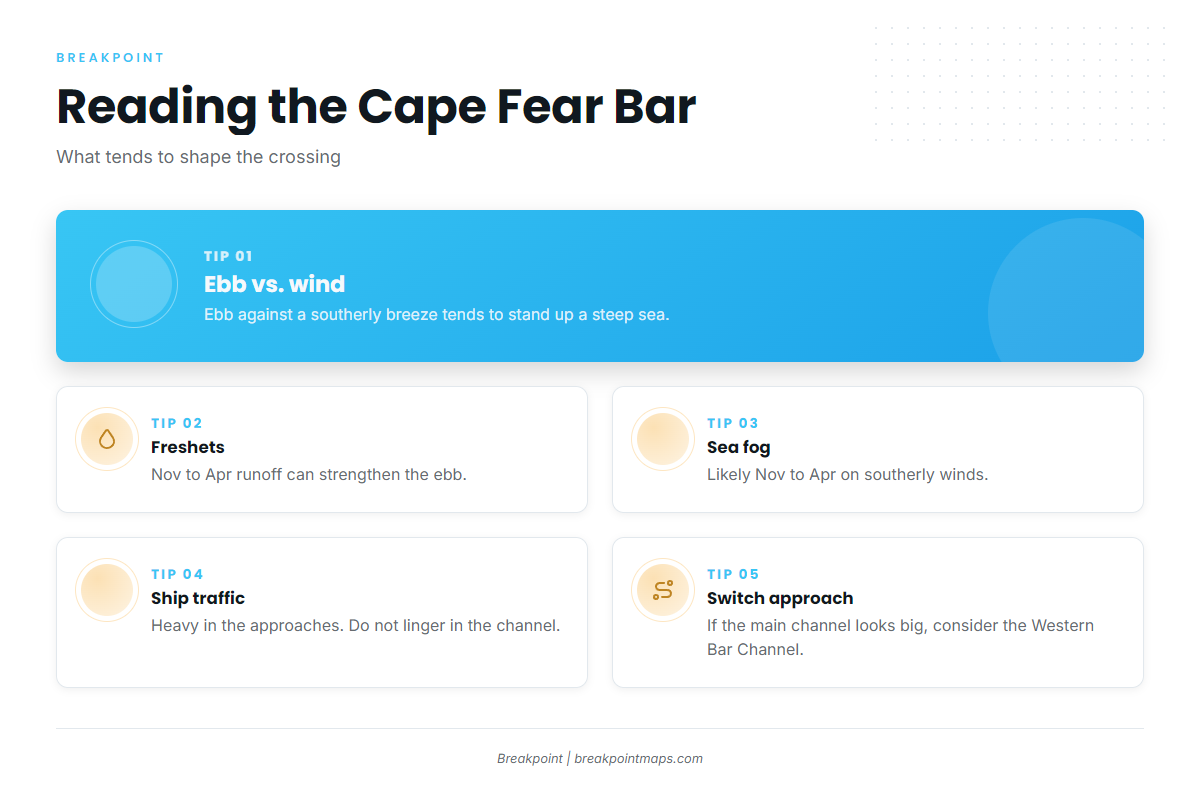
The main ship channel crosses the Cape Fear River bar, with Bald Head Shoal and Jay Bird Shoals on either side. Currents on the bar can run strong and tend to follow the channel. On the last of the flood and the first of the ebb they can set east across the channel, and at the start of the flood they can set west. NOAA Coast Pilot 4, Chapter 5 covers the bar in detail.
An ebb running against a southerly sea breeze can stand up a steep, short sea on the bar. River freshets can occur from November through April and may greatly strengthen the ebb, which can overcome the flood almost to the entrance. Sea fog is likely from November through April on southerly or southeasterly winds, and it can sit thick on the bar while the river upstream is clear. Heavy ship traffic uses the approaches, so avoid lingering in the channel.
The Western Bar Channel is the alternative approach. It runs close to Fort Caswell on the west side of the entrance and is unmarked. A depth of 8 ft was reported there, with the best water about 50 yards offshore. The channel is not stable, so check it against the current chart before committing to it.
For runs to the southeast, Frying Pan Shoals extend south-southeast from Cape Fear. Depths run 2 to 12 ft in an unbroken line for 10 miles, then broken 10 to 20 ft for 6 miles beyond. The Frying Pan Shoals Slue cuts through about 11.5 miles south of Cape Fear. Fishing boats use it as the route toward Frying Pan Tower and the Gulf Stream, and it carries about 20 ft with the aid of the chart.
On arrival, look at the water and read the NWS Wilmington marine forecast. If the main channel looks bigger than you want, switch approaches. If neither approach suits, wait.
Fishing conditions
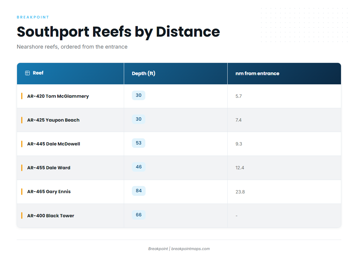
The Southport grounds step out from the reefs off Oak Island to the shoals and the Tower. The NC DMF artificial reef guide lists the reefs below.
| Reef | AR number | Depth (ft) | nm from entrance |
|---|---|---|---|
| Tom McGlammery Reef | AR-420 | 30 | 5.7 |
| Yaupon Beach Reef | AR-425 | 30 | 7.4 |
| (unnamed) | AR-430 | 34 | 8.3 |
| Brunswick County Fishing Club Reef | AR-440 | 42 | 9.1 |
| Dale McDowell Reef | AR-445 | 53 | 9.3 |
| Dale Ward Reef | AR-455 | 46 | 12.4 |
| Gary Ennis Reef | AR-465 | 84 | 23.8 |
| Robert "Bob" Black Tower Reef | AR-400 | 66 | – |
Frying Pan Tower, 10-Mile Rock and The Horseshoe are the other named grounds. Check reef and ledge positions against the Chart Contours layer in Breakpoint before the run. Chart layers are not for navigation, so confirm every position against the current chart.
Winter
Black sea bass hold on the deeper reefs such as AR-465 and around the Tower area. Wahoo and bluefin tuna are possible on Gulf Stream runs. Sea fog and freshet ebbs can complicate the bar this time of year.
Spring
Cobia and Spanish mackerel show up on the nearshore reefs, including AR-420 and AR-425. Grouper, vermilion snapper and black sea bass fish the deeper bottom. Farther out toward the Stream, mahi-mahi, wahoo and blackfin tuna are possible.
Summer
King mackerel and cobia work the reefs and the shoals. Mahi-mahi fish offshore, and scamp and strawberry grouper hold on bottom near the Tower. Bluefish and sharks can turn up nearshore.
Autumn
False albacore and Spanish mackerel work nearshore and around the reefs. King mackerel run from the nearshore reefs out to the shoals. Vermilion snapper and black sea bass fish the deeper bottom.
Plan the run
Find your port and the rest of the coast in the state and port guides on breakpointmaps.com, or download Breakpoint from the App Store or Google Play to see the water before you leave the dock.
Other ports on this coast: Carolina Beach and Ocean Isle Beach.