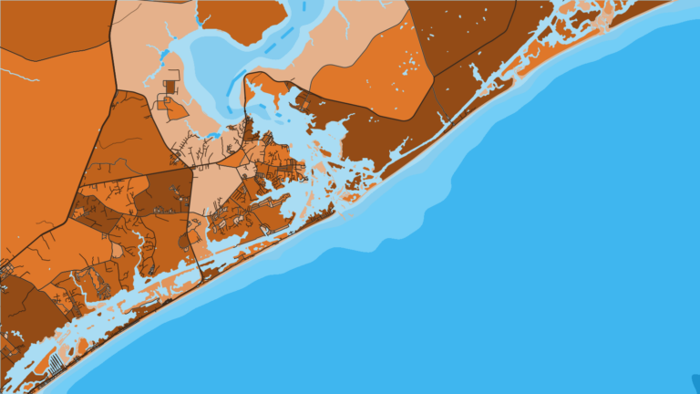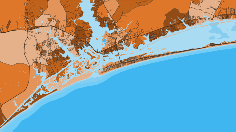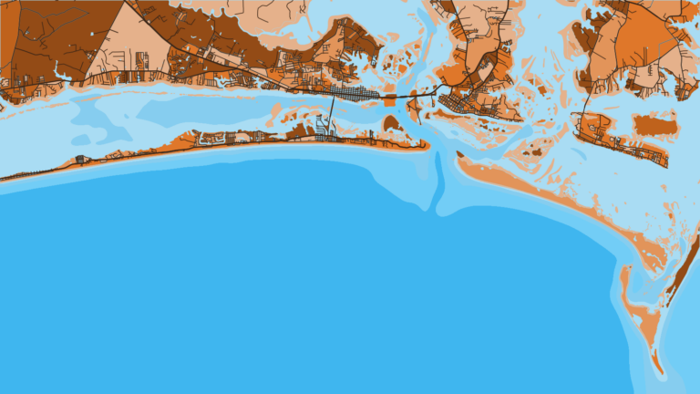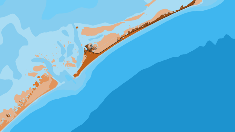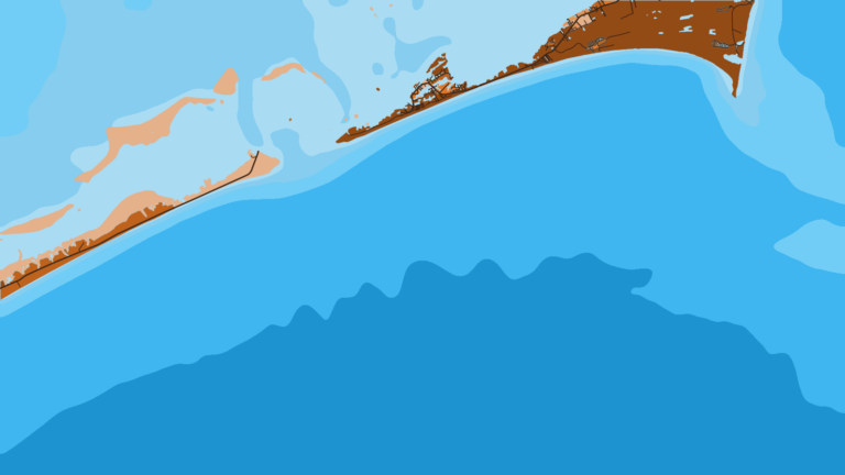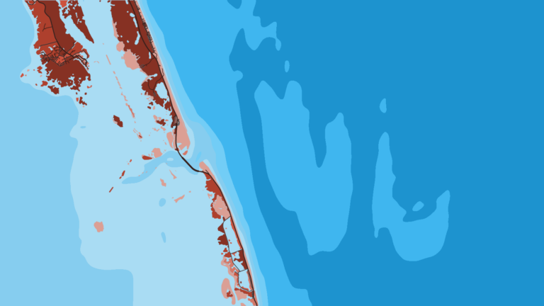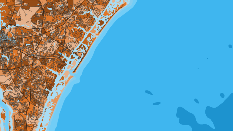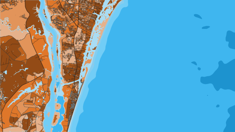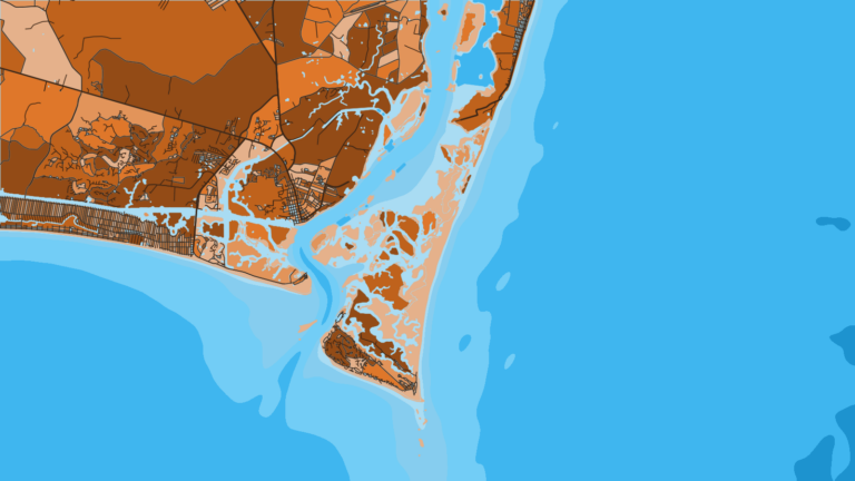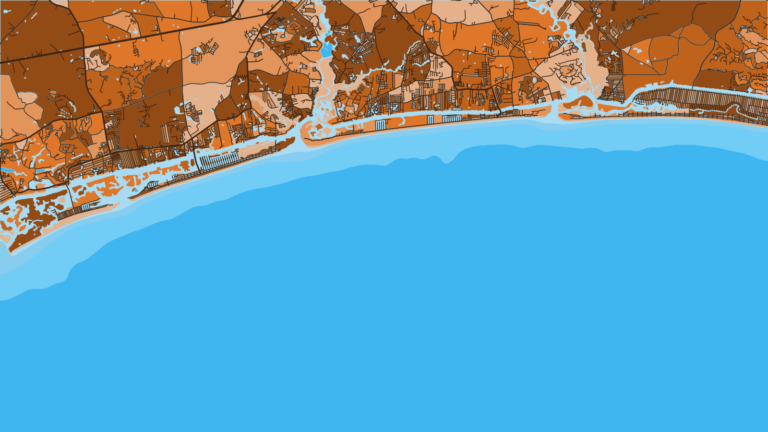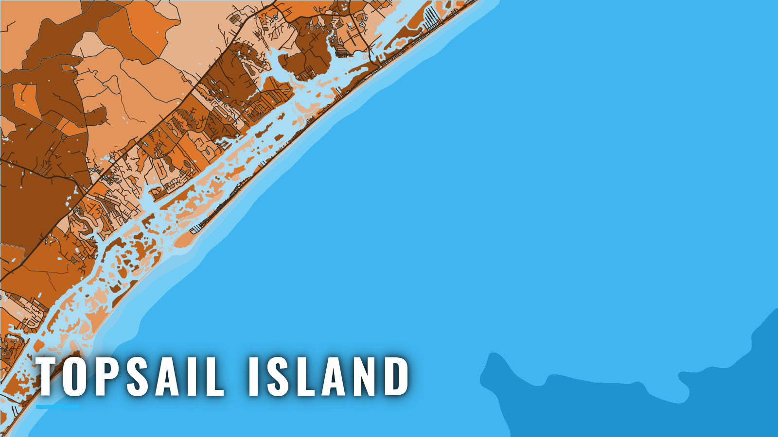

About Topsail Island
Boats reach Onslow Bay through New Topsail Inlet at the south end of Topsail Island, by way of Topsail Sound and the Intracoastal Waterway. NCDMF artificial reefs start about 2 nautical miles off the inlet, and the Gulf Stream is the bluewater target beyond them. The port fishes offshore year-round: king mackerel, Spanish mackerel, cobia, mahi, wahoo, blackfin tuna, false albacore, black sea bass and vermilion snapper. For how these fish move along the coast, see our Atlantic Southeast fishing guide. Size, bag and season rules are on our North Carolina page and with NC Division of Marine Fisheries (NCDMF); check them before you fish.
Access and navigation
The nearest public ramp to New Topsail Inlet is Bush Marina in Topsail Beach. These are the public ramps and the marina serving Topsail Island:
- Bush Marina boat ramp – Town of Topsail Beach ramp, the closest public ramp to New Topsail Inlet.
- Surf City Soundside Park boat ramp – public ramp on the sound side in Surf City.
- Hampstead public access boat ramp – public ramp on the mainland side of the Intracoastal Waterway.
- Bush Marina – town-run marina at the south end of Topsail Beach.
Two dredged channels connect New Topsail Inlet to the Intracoastal Waterway. One runs northeast through Topsail Sound for about 5.5 miles. Howards Channel runs northwest for about 1.1 miles. Both can change continually, and the aids tend to mark the best water. These details come from NOAA Coast Pilot 4.
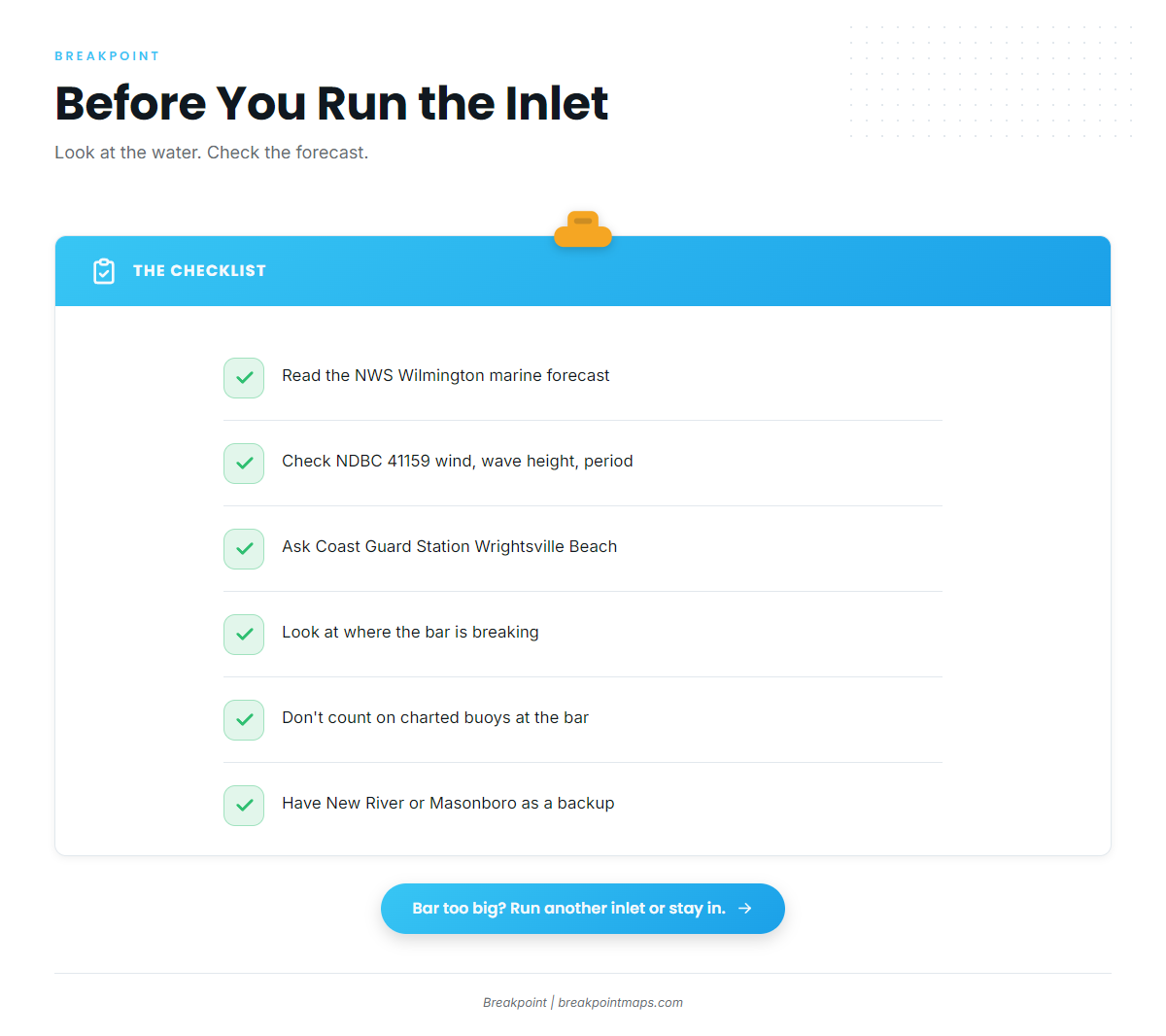
New Topsail Inlet is entered over a shifting bar. The bar-channel buoys may move to follow the best water, so your chart might not show the buoys you see. A southwesterly or northwesterly storm can reshape the inlet. Along this coast, a sea breeze, even a light one, tends to put a heavy break on the bar, while a land breeze can blow hard without much break. Breakers tend to form over the shoals, so the water can show you where the bar is breaking.
If New Topsail Inlet does not suit the day, there are two alternatives. New River Inlet lies 19 miles northeast, near Sneads Ferry. Its bar also shifts, and the break tends to be worst when the ebb sets against a south or southeast wind. Masonboro Inlet is the jettied inlet about 11.5 miles southwest, at Wrightsville Beach.
Where to read conditions before you go:
- NWS Wilmington marine zones – AMZ250 covers Surf City to Cape Fear out to 20 NM. AMZ280 covers 20 to 60 NM out.
- NDBC Station 41159 data – Onslow Bay Outer buoy. Check wind, wave height and period.
- Coast Guard Station Wrightsville Beach – ask for current inlet conditions.
- NOAA Coast Pilot 4, Chapter 5 – the standing reference for the inlet and both channels.
When you get to the ramp, look at the water and the official forecast. If the bar looks bigger than you want, switch to New River or Masonboro, or stay in.
Before the run, check the OBS SST and Chart Contours layers in Breakpoint to see where the reefs and temperature edges sit. Chart layers are not for navigation.
Fishing conditions off Topsail Island
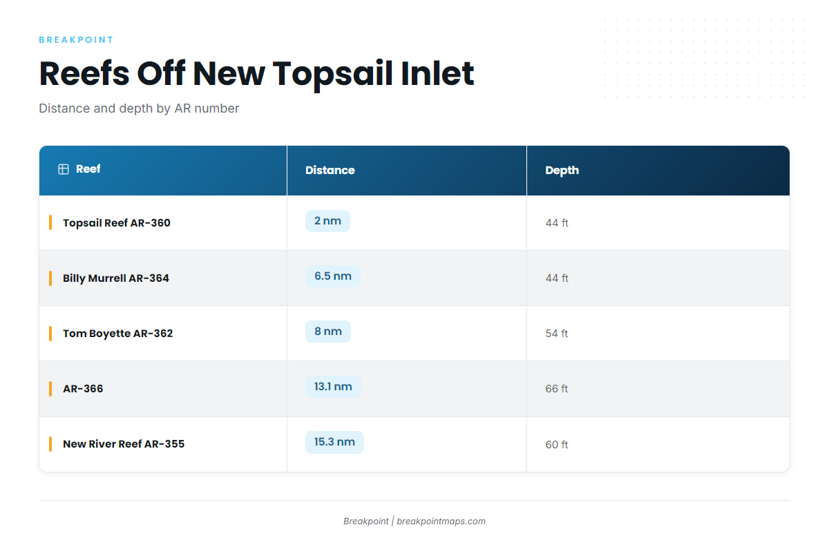
Topsail Reef (AR-360) sits 2 nautical miles off New Topsail Inlet in 44 feet. The NCDMF artificial reef guide lists the named reef grounds, shown here by distance from the inlet:
| Reef | AR | nm | ft |
|---|---|---|---|
| Topsail Reef | AR-360 | 2 | 44 |
| Billy Murrell Reef | AR-364 | 6.5 | 44 |
| Tom Boyette Reef | AR-362 | 8 | 54 |
| AR-366 | AR-366 | 13.1 | 66 |
| New River Reef | AR-355 | 15.3 | 60 |
| Brian Davis Memorial Artificial Reef | AR-368 | wreck | n/a |
The nearshore reefs hold kings, Spanish mackerel and cobia. The deeper reefs hold black sea bass and vermilion snapper. Mahi, wahoo, blackfin tuna and sailfish sit at the Gulf Stream.
Winter
Black sea bass and vermilion snapper hold on the deeper reefs, from AR-366 and AR-355 outward. Wahoo and blackfin tuna work the Gulf Stream, and some king mackerel are still around. Time the run to the forecast windows in AMZ280.
Spring
Cobia, Spanish mackerel, bonito and bluefish show up on the nearshore reefs, AR-360 through AR-362. King mackerel are the headline fish; the king mackerel fishing guide covers how to find them.
Summer
Kings, Spanish mackerel, cobia and sharks work the nearshore reefs. The deeper reefs hold black sea bass, vermilion snapper, grouper, triggerfish and amberjack. Mahi, wahoo and blackfin tuna run the Gulf Stream. Grouper and snapper rules change, so check NCDMF before you keep fish.
Autumn
False albacore show off the inlet and the nearshore reefs, along with Spanish mackerel and bluefish. For the fall run of kings, see king mackerel in the Atlantic Southeast. Wahoo and sailfish work the Gulf Stream. Grouper, vermilion snapper and black sea bass hold on the deeper reefs.