
About Ocean Isle Beach
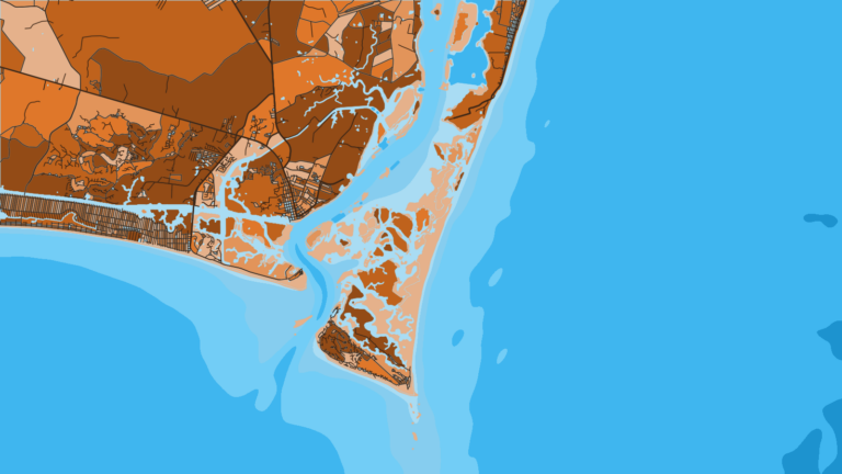
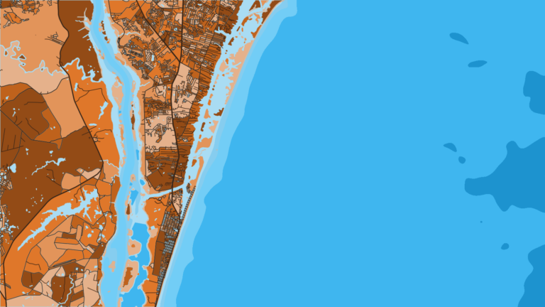
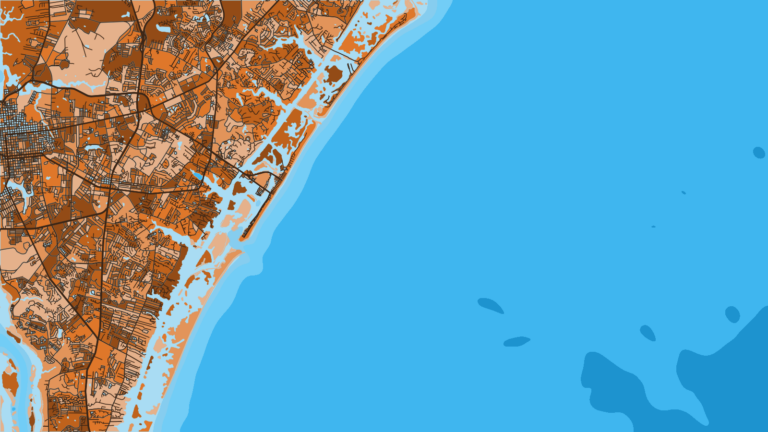
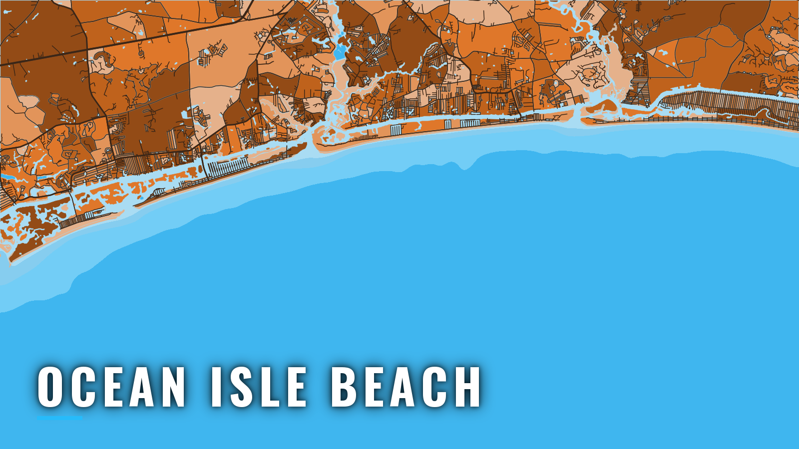
Offshore boats from Ocean Isle Beach start on a Brunswick County barrier island behind the Intracoastal Waterway and run into Long Bay and the Atlantic. The target list is king and Spanish mackerel, cobia, mahi, wahoo, sailfish, gag grouper and black sea bass. The port sits on the southern North Carolina coast, and the water is fishable year-round, with the most traffic from spring through fall. This page covers where to launch, how the inlets tend to behave, and the named grounds and what runs on each.
Access and navigation
Three public launches and marinas serve Ocean Isle Beach boaters:
- Ocean Isle Beach Boat Ramp: a public NCWRC ramp under the Odell Williamson Bridge on the Causeway, with direct Intracoastal Waterway access.
- Holden Beach Ramp: a public ramp on the Intracoastal Waterway to the east.
- Holden Beach Marina: fuel listed.
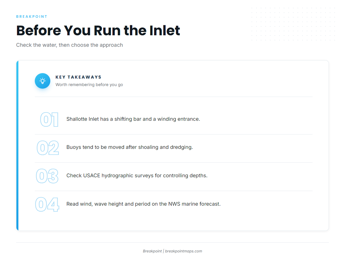
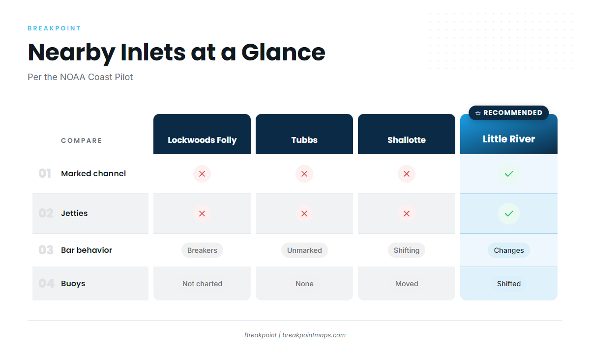
Shallotte Inlet is the nearest ocean approach from the Ocean Isle Beach ramp. The NOAA Coast Pilot describes a shifting bar and a winding entrance, and calls the inlet "used only by local fishermen." Buoys tend to be moved after shoaling and dredging, so the chart can lag the water. An ebb running against an onshore wind can stand the bar up. After dredging, check the USACE Wilmington District hydrographic surveys for controlling depths.
Tubbs Inlet is the close cut on the west end, 6 miles west of Shallotte Inlet. It is unmarked and seldom used.
Little River Inlet, to the west, is the marked approach. Jetties with a light on each outer end flank a marked channel that runs about 1.8 miles to the Intracoastal Waterway. The bar channel still changes continually, and its buoys are shifted often.
Lockwoods Folly Inlet lies to the east near Holden Beach. The Coast Pilot describes breakers at virtually all stages of tide and wind, with buoys that are frequently shifted and not charted.
On arrival, look at the water and read the NWS Wilmington marine forecast for wind, wave height and period. If the bar looks bigger than you want, switch to the marked approach. The bar can differ from what the forecast numbers suggest.
Fishing conditions
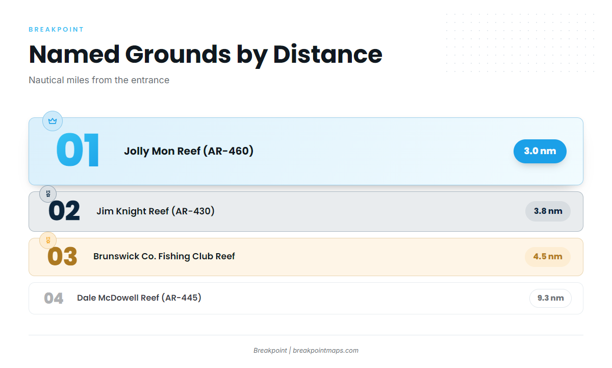
The nearest named grounds are artificial reefs, measured from the entrance:
- Jolly Mon Reef (AR-460), 3.0 nm
- Jim Knight Reef (AR-430), 3.8 nm
- Brunswick County Fishing Club Reef (AR-440), 4.5 nm
- Dale McDowell Reef (AR-445), 9.3 nm
Farther out, Fairway Ledge, The Horseshoe, The Cucumber and the Frying Pan Tower shoals offer live bottom and structure. The Gulf Stream is the bluewater edge beyond them. For how these species move along the coast, see the Atlantic Southeast fishing guide.
Seasons, sizes and bags for cobia, gag, red snapper and amberjack change by proclamation, so check the NCDMF size and bag limits before fishing. Snapper-grouper anglers must carry a descending device and a dehooking tool.
Read reef positions and the Gulf Stream edge against the OBS SST, Chlorophyll and Chart Contours layers in Breakpoint. Chart layers are not for navigation.
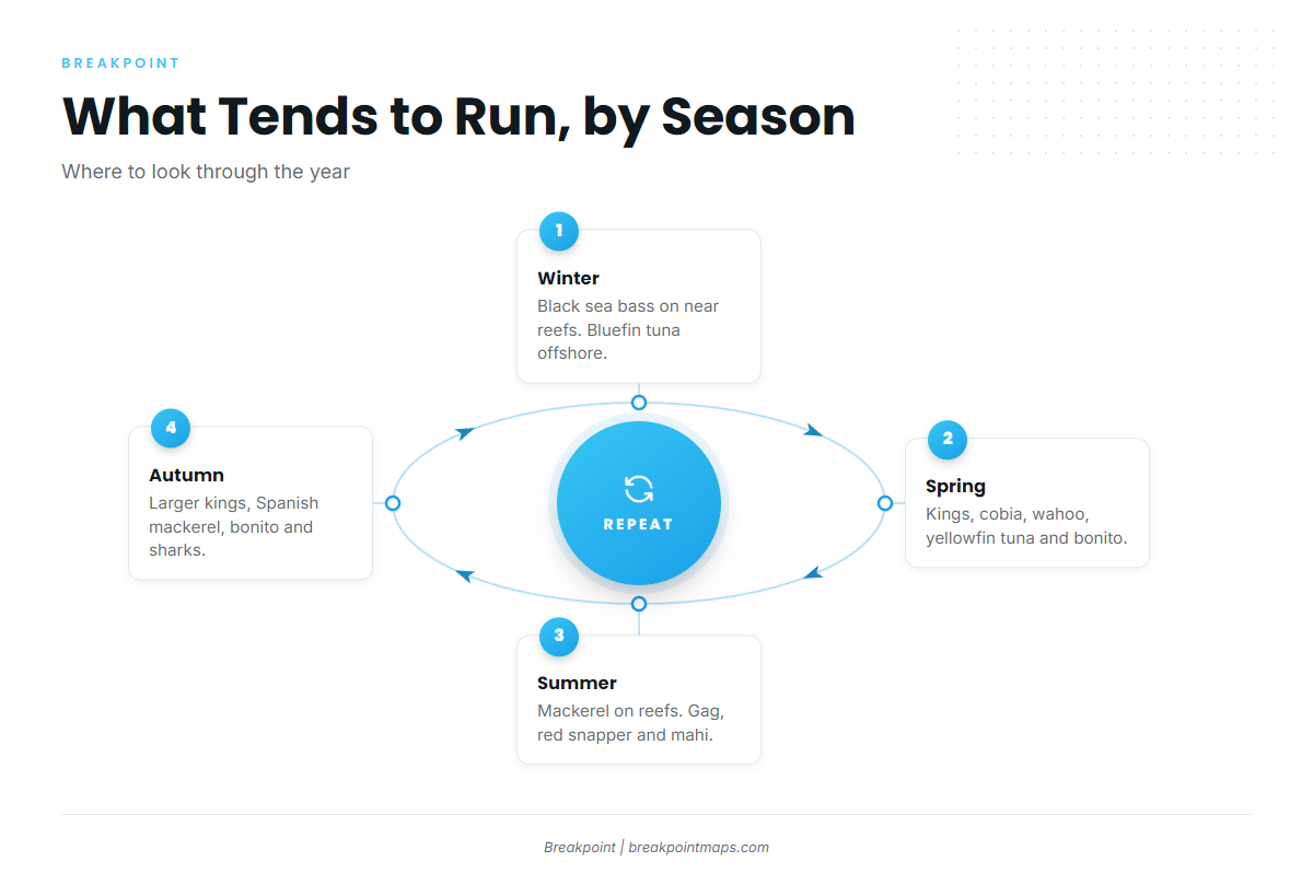
Winter
Black sea bass hold on the near reefs (AR-460, AR-430), and bluefin tuna run offshore. The Coast Pilot reports waves of 8 feet or more 20 to 30 percent of the time from December through February. Visibility below 0.5 mile occurs about 1 to 3 percent of the time, most likely December through March.
Spring
Kings, cobia, Spanish mackerel, wahoo, yellowfin tuna and Atlantic bonito show up. Look on the reefs for kings and cobia, and toward the Stream for wahoo and yellowfin. The Coast Pilot notes the weather can also turn "rough" in April.
Summer
Spanish and king mackerel work the reefs. Gag grouper and red snapper hold on live bottom and ledges, and NCDMF sets the openings. Mahi run at the Gulf Stream.
Autumn
Kings run, with larger fish typical. Spanish mackerel, Atlantic bonito and sharks are around, and bull red drum work the inlets.
More North Carolina port pages: Southport, Carolina Beach.