
About Wrightsville Beach
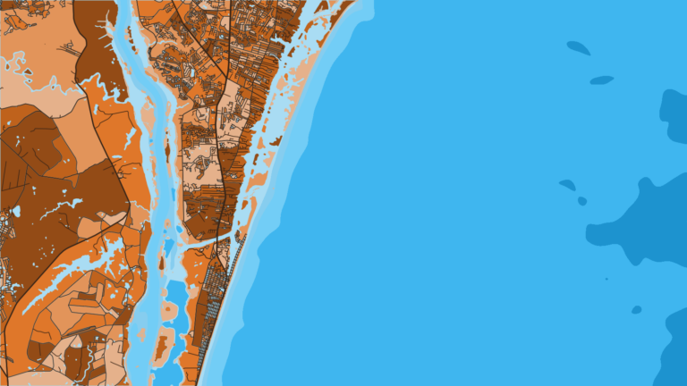
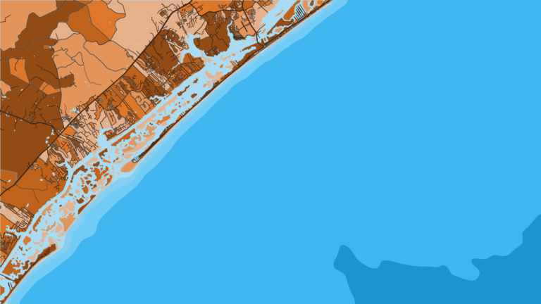
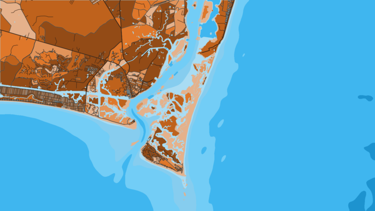
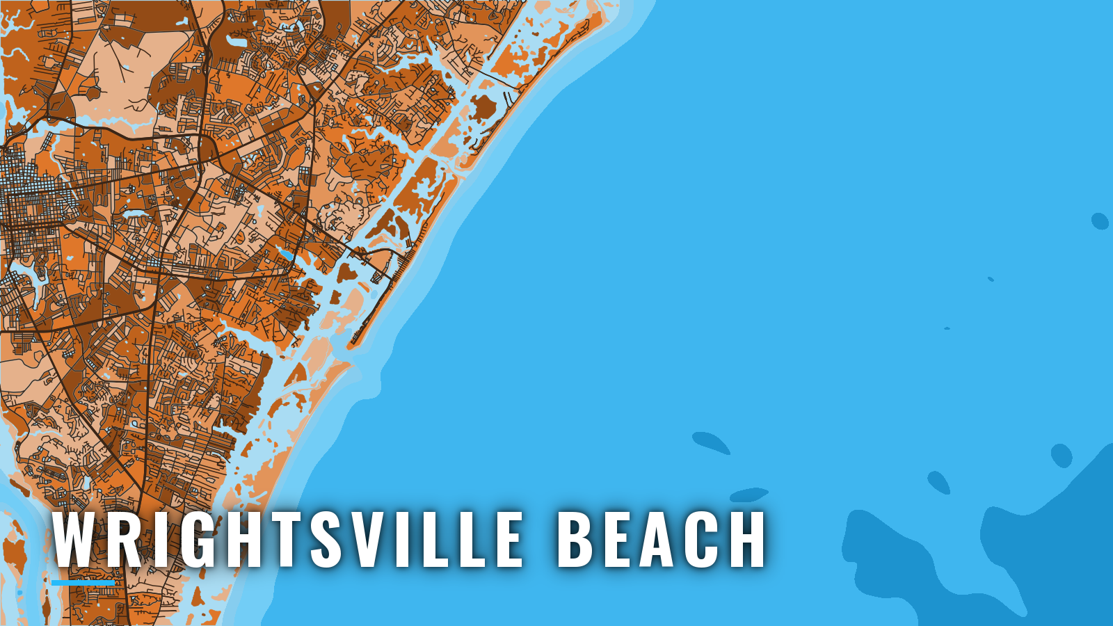
Wrightsville Beach is a barrier island east of Wilmington. Banks Channel and the Intracoastal Waterway lie behind it, with Masonboro Inlet at the south end and Mason Inlet at the north end. It sits on the southern half of the North Carolina coast, where the shoreline faces Onslow Bay.
Offshore fishing here runs year-round, and small-boat traffic tends to peak in the warmer months. The water runs from nearshore artificial reefs and wrecks out to ledges and live bottom, and farther still to the Gulf Stream edge for bluewater. How far you go depends on your boat, your fuel and the day. Nearshore, the targets are king mackerel, cobia and Spanish mackerel. Farther out you find mahi, wahoo, sailfish, tunas, grouper, snapper and amberjack.
Access and navigation at Wrightsville Beach
Boats leave Wrightsville Beach through Masonboro Inlet, the main entrance at the south end of the island.
Ramps and marinas
Each is listed under the name its operator or agency uses:
- Wrightsville Beach public boat ramp – public ramp on Channel Walk Drive with access to the Intracoastal Waterway and the ocean
- Wrightsville Beach Marina – slips and marina services
- Seapath Yacht Club – slips and marina services
- Dockside Marina – slips and marina services
- Bridge Tender Marina – slips and marina services
Confirm services and fuel with each operator before you plan a fill-up, and check the ramp page for hours and parking rules before you tow.
How the inlet behaves
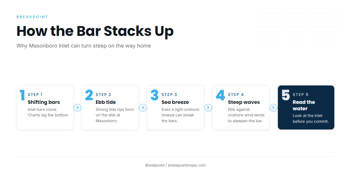
NOAA Coast Pilot 4, Chapter 5 describes the inlets between Beaufort Inlet and Cape Fear as having shifting bars, and the sea breaks on them when it is at all rough. A sea breeze, even a light one, tends to put a heavy break on the bars, while a land breeze can be strong without the same effect.
Masonboro follows the same pattern. The Coast Pilot says strong tide rips form on the ebb at Masonboro Inlet, and an ebb running out against an onshore wind or a sea breeze tends to shorten and steepen the waves over the bar.
This matters most on the way home. A sea breeze often fills in through the afternoon, so an outgoing tide on a sea-breeze afternoon might stack the bar just when you want to come in. Timing your return around the tide can change what you meet.
Because the bar shifts, charts can lag the bottom and buoys may be moved. The Coast Pilot names the appearance of the water as the best guide, and breakers on the shoal areas tell you more than a chart does.
Fog follows a seasonal pattern. The Coast Pilot says sea fog is likely from November through April with southerly or southeasterly winds, and it can hang on until a west wind clears it.
Alternative approach
Mason Inlet at the north end of the island is the other way out. It tends to change and can shoal, and it generally suits boaters with local knowledge. Use it as a second option on a day when Masonboro looks bigger than you want, and read the water before you commit.
Where to read conditions
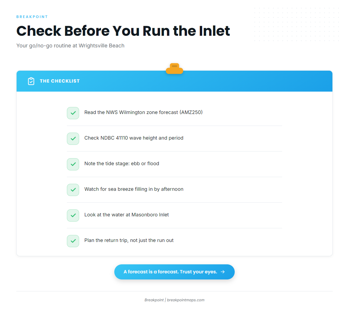
- NWS Wilmington zone forecastzone AMZ250, Surf City to Cape Fear, out 20 nm
- NDBC 41110 Masonboro Inlet buoyread wave height and dominant period here
The buoy reports what it sees at one spot, and a forecast is only a forecast. At the inlet, look at the water and read the NWS Wilmington forecast. If the inlet looks bigger than you want, switch to the other approach, wait for the tide to turn, or stay inside.
Fishing conditions off Wrightsville Beach
The grounds run from nearshore artificial reefs in 40 to 60 ft out to ledges, live bottom and the Gulf Stream edge. The wider Atlantic Southeast picture shows how the Gulf Stream shapes what runs along this coast.
The North Carolina Division of Marine Fisheries sets the rules for state waters. Check its recreational size and bag limits page before you fish. Species such as red snapper and gag open or close by announcement, so the dates can change.
Named grounds
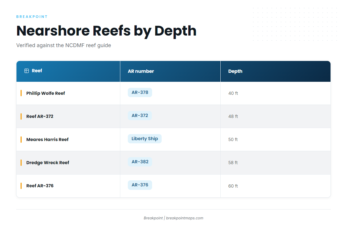
From nearest to farthest, the grounds line up like this:
- Nearshore artificial reefs. The NCDMF artificial reef guide carries the numbers, coordinates and depths. Plot the coordinates from the guide.
- Liberty Ship and Dredge Wreck. Both sit among the nearshore reefs and wrecks.
- 5-Mile and 10-Mile Boxcars, then The Steeples. Reef and structure grounds farther along.
- Frying Pan Tower area. A known ground to the south.
- Gulf Stream edge. Its position moves, so check OBS SST for where it sits on a given day.
| Reef | AR number | Depth |
|---|---|---|
| Phillip Wolfe Reef | AR-378 | 40 ft |
| Reef | AR-372 | 48 ft |
| Meares Harris Reef (Liberty Ship) | 50 ft | |
| Dredge Wreck Reef | AR-382 | 58 ft |
| Reef | AR-376 | 60 ft |
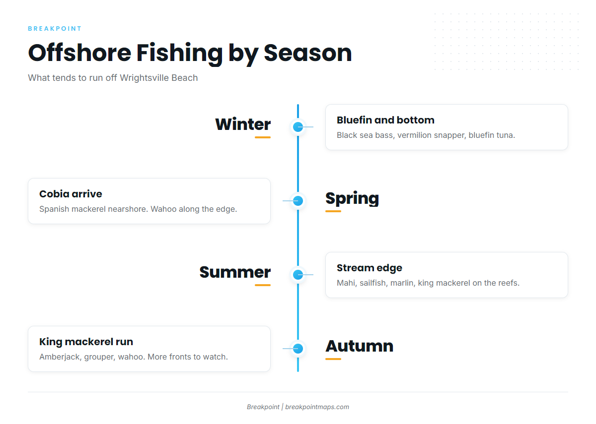
Winter
Black sea bass and vermilion snapper hold on the reefs and live bottom. Offshore, bluefin tuna is the colder-month target, and blackfin tuna is also in play. Fog tends to come with southerly and southeasterly winds from November through April, so plan the return with that in mind.
Spring
Cobia arrive nearshore, and the cobia run off the Atlantic Southeast covers how they move. Spanish mackerel show up nearshore too. Gag and black grouper hold on the reefs and ledges, so check the NCDMF page above before you keep one. Offshore, late spring brings early yellowfin and blackfin tuna, with wahoo along the edge.
Summer
Spanish and king mackerel work the reefs and the Boxcars. At the Gulf Stream edge, the targets are mahi and sailfish, along with blue marlin and white marlin. Wahoo and yellowfin tuna run there too.
Check the OBS SST and Chlorophyll layers for where the Gulf Stream edge sits before you commit to the run. Chart layers are not for navigation.
Autumn
The fall king mackerel run is the main event. The fall king run tends to bring fish to the nearshore reefs and structure. Gag and black grouper, greater amberjack and vermilion snapper hold on the reefs and ledges, so check the NCDMF page above. Offshore, wahoo, mahi, sailfish, and yellowfin and blackfin tuna all run, with bluefin returning late.
Fall tends to bring more fronts and more land breeze or northerly days, so the forecast and buoy check from the navigation section matter more.
Find your port in the state and port guides on breakpointmaps.com, and see how Breakpoint reads the ocean for the water you plan to fish.