
About Astoria-Warrenton
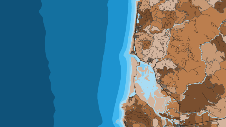
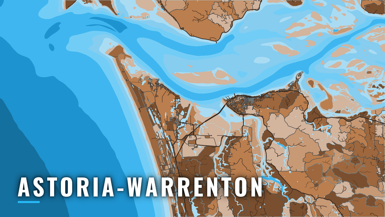
Astoria-Warrenton is three towns on the south shore of the lower Columbia River: Astoria, Warrenton and Hammond. It sits at the north end of the Oregon coast, and every boat here reaches the Pacific across the Columbia River Bar.
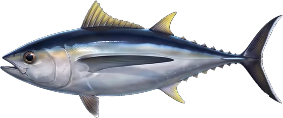
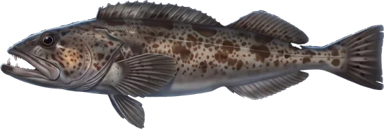
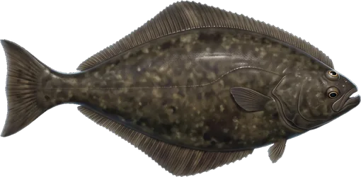
The targets are Chinook, coho, albacore, Pacific halibut, lingcod, rockfish and Dungeness crab, which covers most of what Pacific Northwest offshore fishing offers. Bottomfish are open year-round. Salmon, halibut and albacore each have their own windows.
The bar shapes everything else. Inside it sit the Buoy 10 salmon fishery and the estuary sturgeon water. ODFW treats the ocean as beginning at the visible ends of the jetties and at a north-south line through Buoy 10, and water inside that line fishes under river rules (where ODFW says ocean begins). The sections below cover where to launch, how the bar tends to behave, where to read it, and what each season fishes.
Access and navigation
Boats here launch and berth in three areas: Hammond, the Skipanon Waterway and the Astoria waterfront. All of them lead to the same bar.
Launch and moorage
Boats launch and berth on the Warrenton side, at Hammond and on the Skipanon Waterway, and along the Astoria waterfront:
- Hammond Marina and boat ramp (City of Warrenton)
- Warrenton Marina and boat ramp, Skipanon Waterway (City of Warrenton)
- Port of Astoria West Mooring Basin (West Basin Marina), fuel listed (Port of Astoria)
- Port of Astoria East Mooring Basin boat ramp (Port of Astoria)
- John Day County Park boat ramp (county park)
The two Warrenton-side facilities are covered in the City of Warrenton marina information. The Port of Astoria West Basin is the listed fuel stop. Each operator sets transient moorage availability, so contact them before you trailer or run in.
The Columbia River Bar
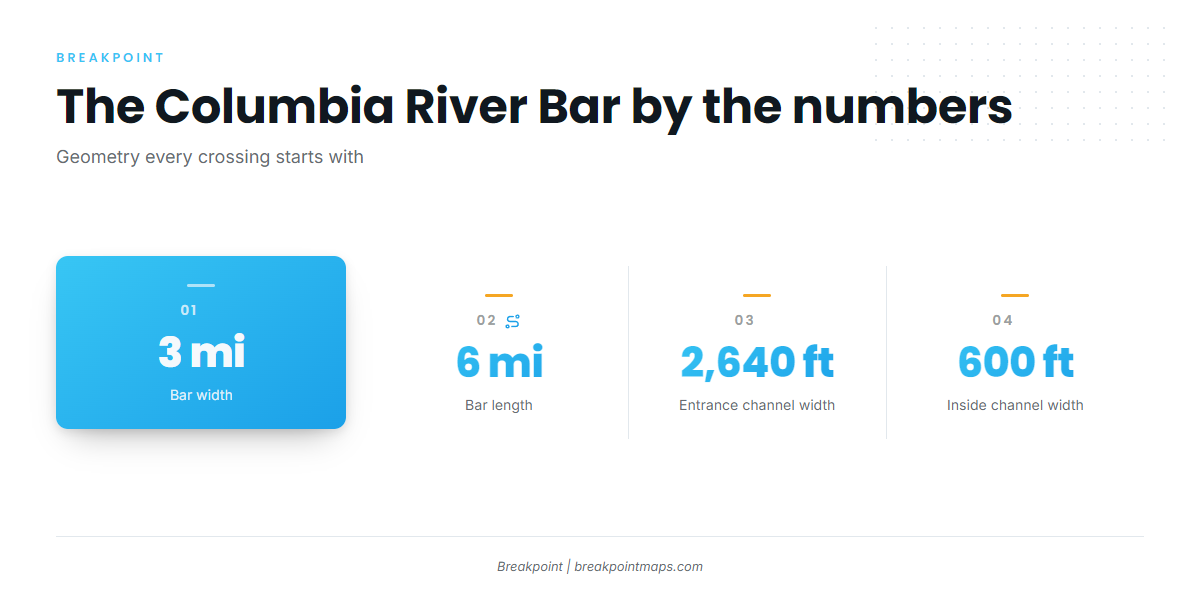
The Columbia River Bar Pilots supply the dimensions. The bar is about 3 miles wide and 6 miles long. The entrance channel is 2,640 feet wide, dredged to 55 feet in the northern three-quarters and 48 feet in the southern quarter. Inside the river it narrows to 600 feet wide and 43 feet deep. The full description is in the Columbia River Bar Pilots description.
On the ebb, the river’s outflow tends to oppose the incoming swell and the prevailing wind. Where the current slows over the shoal, seas can stand up, steepen and break. Conditions can change faster than the forecast suggests, so plan around the ebb, both going out and especially coming back.
Two shoals flank the entrance. Clatsop Spit lies on the south side off the South Jetty, and Peacock Spit lies on the north side off the North Jetty. Breakers can form on both. The shoals shift, so check current charts and local notices to mariners rather than relying on an old track. Our Chart Contours layer is not for navigation.
Large ships use the same channel. Pilot dispatch monitors VHF channels 9, 13 and 16. The Coast Guard can restrict the bar, and restrictions tend to apply to smaller boats first.
An afternoon northwest wind can build and add spray on the run back in. If your return lines up with an ebb, the bar you crossed in the morning might look different on the way home.
Reading conditions
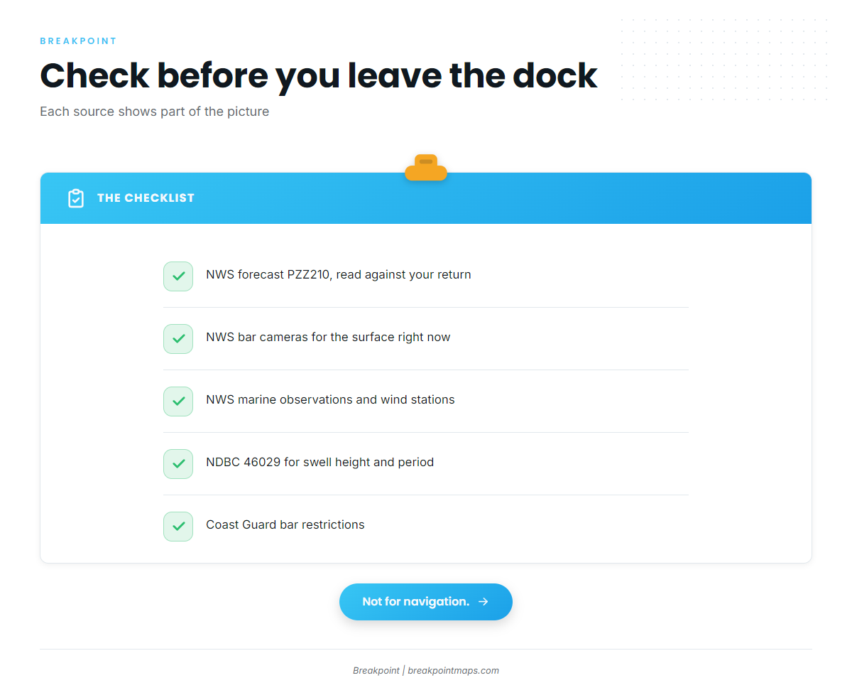
No single source gives the whole picture, but together these do:
- NWS Portland coastal waters forecast, zone PZZ210 (Columbia River Bar): It gives main-channel seas and lists each ebb with its current speed and expected seas. Read it against your planned return time, not only your departure. (NWS coastal waters forecast)
- NWS bar cameras: They show the surface at one moment, not what the next ebb will do. (NWS Columbia River bar cameras)
- NWS Marine Observations: The Clatsop Spit and Astoria Canyon buoys and the coastal wind stations report what is happening now.
- NDBC 46029: It sits offshore of the bar and reports swell height and period. It does not show what the ebb is doing over the shoal.
- Coast Guard bar status: Check the current restriction before you leave the dock.
When the bar looks bigger than you want
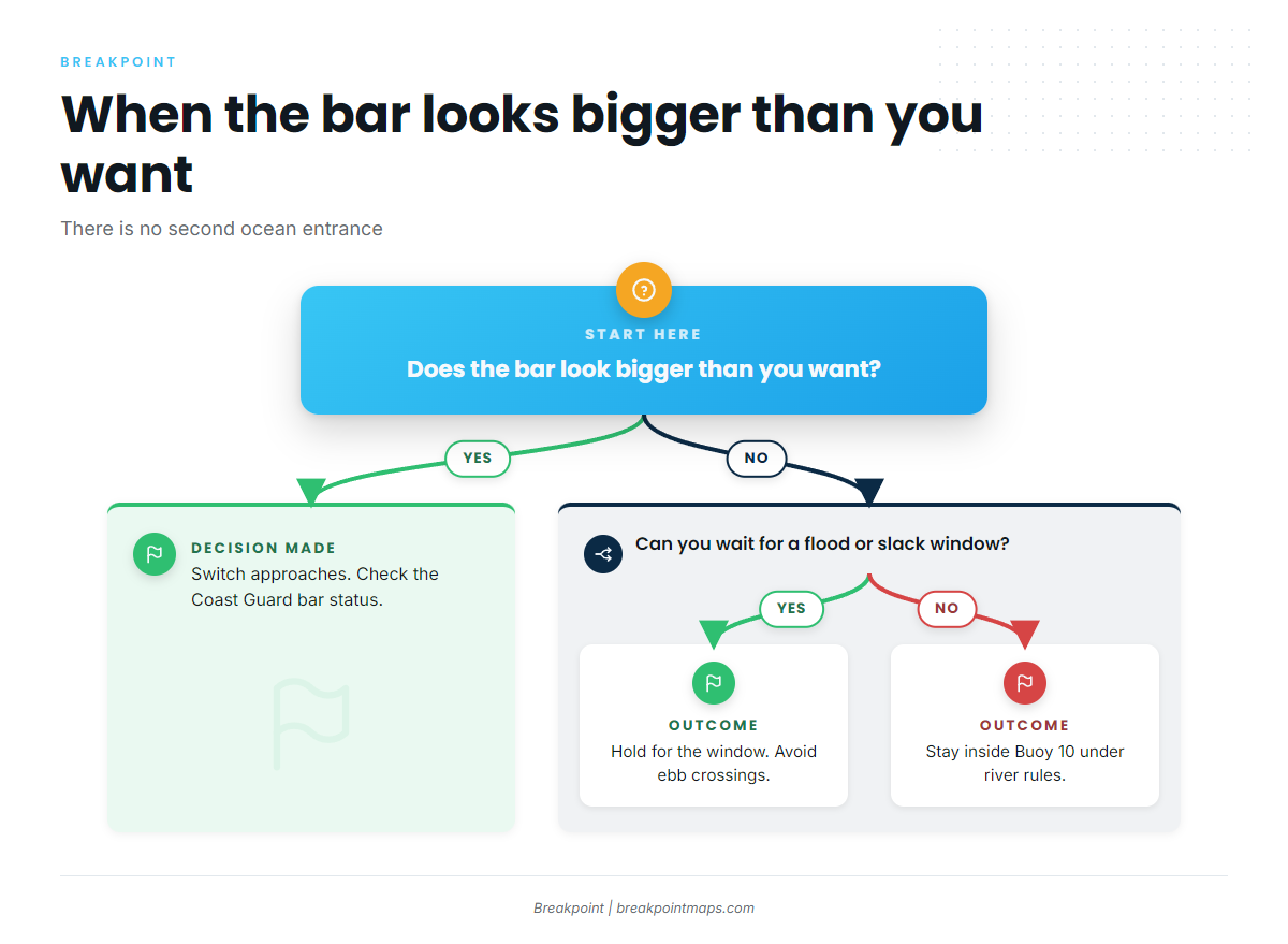
There is no second ocean entrance here, which leaves two options:
- Hold for the window. Wait for the flood or high slack rather than crossing out or returning on an ebb.
- Stay inside. Fish inside the Buoy 10 line, in the estuary, under river rules rather than ocean rules. Confirm the inside fishery you want is open.
On arrival, look at the water and the official forecast: the NWS bar forecast, the bar cameras and the Coast Guard bar status. If the bar looks bigger than you want, switch to one of these.
Fishing conditions
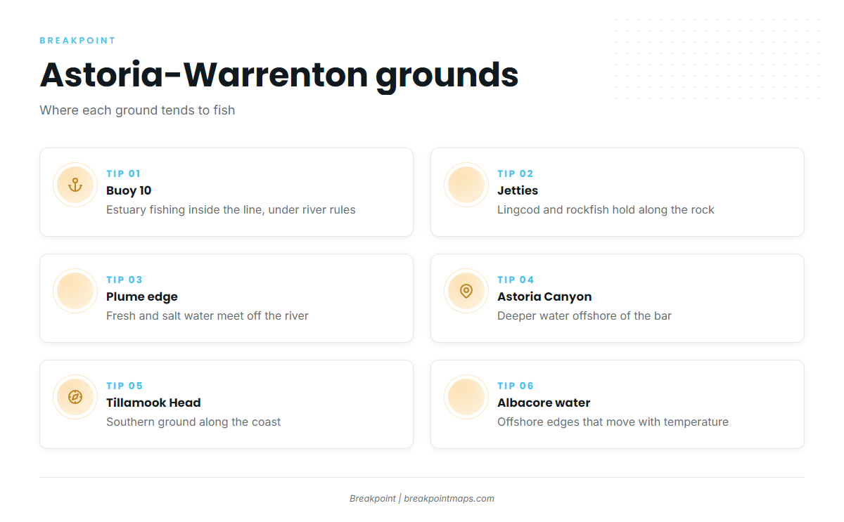
The grounds run from inside the river to well offshore:
- Buoy 10 and the estuary inside it
- The North Jetty and South Jetty, where lingcod and rockfish hold along the rock
- The Columbia River plume edge, where fresh and salt water meet
- Astoria Canyon
- Tillamook Head to the south
- Offshore albacore water, which moves with temperature (see albacore off Oregon and Washington)
ODFW sets the ocean rules for bottomfish, halibut, tuna and salmon, and they change in-season. Check the ODFW marine zone regulations before fishing. Two depth lines matter for rules: ODFW publishes waypoints for the 30-fathom line, which governs descending device use, and the 40-fathom line, which separates the nearshore halibut and long-leader fisheries.
Winter
Lingcod and rockfish are open year-round at all depths under ODFW rules. The limiting factor is bar and weather windows, which tend to be short. The jetties and nearshore rock hold fish when the offshore grounds are out of reach (see jetty and nearshore lingcod). ODFW lists lingcod at a 22-inch minimum and 3 per day, but check ODFW before fishing. Every vessel fishing for or holding bottomfish or halibut in the ocean must carry a working descending device, used on any rockfish released seaward of the 30-fathom line.
Spring
Lingcod and rockfish continue. The general marine bag can be cut in-season when black rockfish catch nears its cap, so check ODFW before each trip.
Pacific halibut in the Columbia River subarea has all-depth days set each spring, and more can be added later. Check ODFW for the days. The Columbia River subarea runs from Cape Falcon to Leadbetter Point, and halibut rules follow the port of landing. Ports south of Cape Falcon, such as Garibaldi and Pacific City, fall under the Central Oregon Coast structure.
Summer
Ocean Chinook and coho seasons are set each year by the Pacific Fishery Management Council and published by ODFW. Check before fishing. Ocean salmon gear is limited to no more than 2 single-point barbless hooks.
Albacore show when warm water moves inshore, so offshore runs follow temperature. We map warm-water edges with the OBS SST and Chlorophyll layers. Cloud can block a satellite pass, and chart layers are not for navigation.
Bottomfish continue. Cabezon retention opens July 1.
Autumn
Chinook and coho at Buoy 10 are fished inside the river, under river rules rather than ocean rules. Check ODFW for the opener and any changes.
Albacore can hang on while warm water holds. Dungeness crab is fished in the estuary and nearshore, and ODFW has the crab rules. Bottomfish continue year-round, weather and bar permitting.