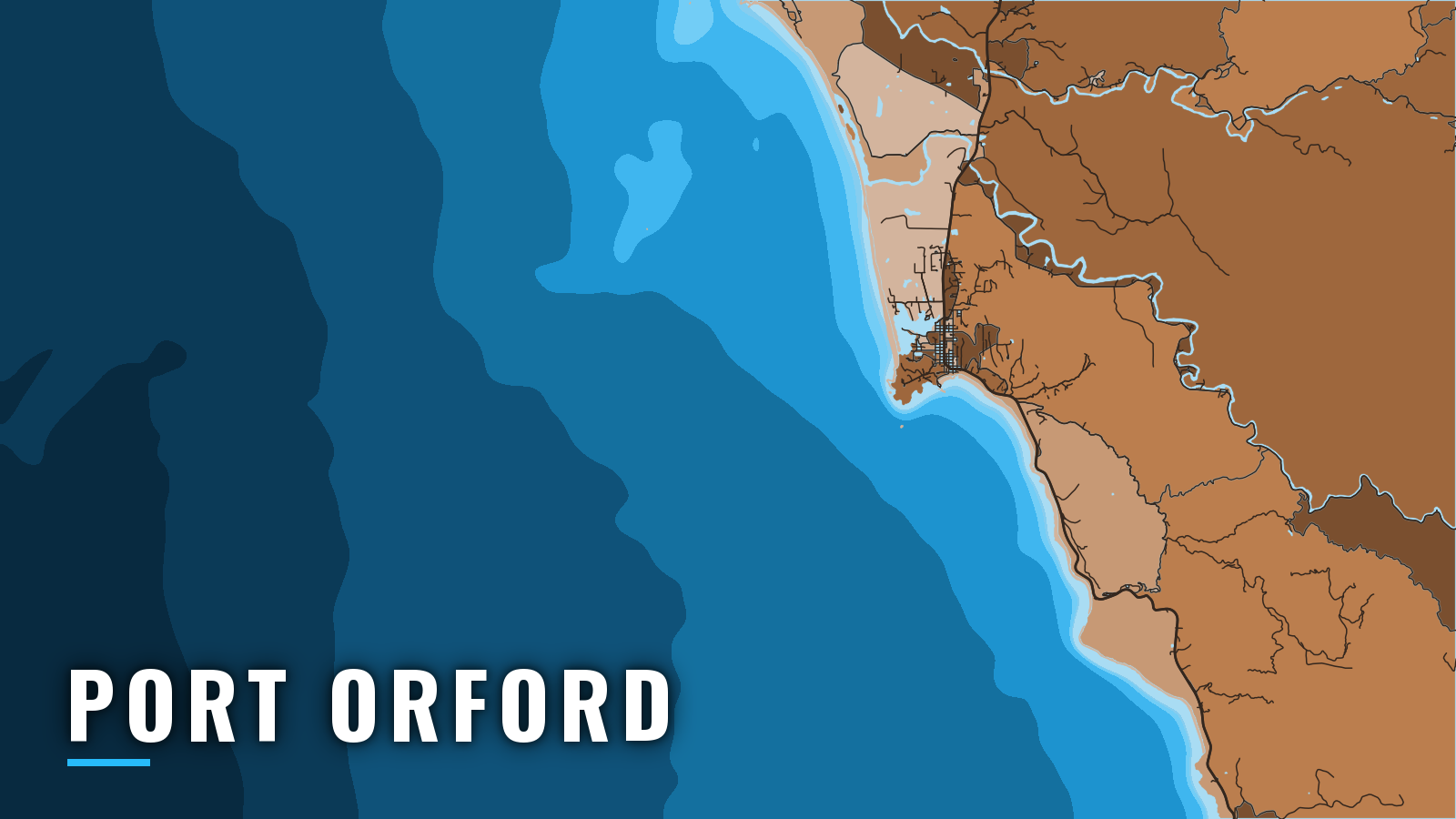

About Port Orford
Port Orford sits in Curry County on the southern Oregon coast, about 6.5 miles south of Cape Blanco, with Humbug Mountain to the south. There is no ocean bar to cross and no protected harbor. Boats go in and out by the Port’s hoists from a dolly dock.
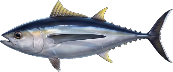
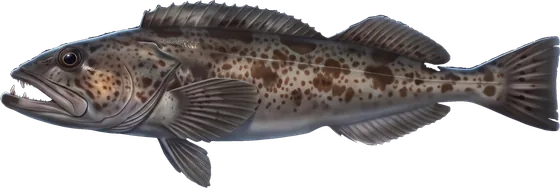
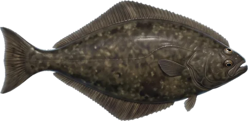
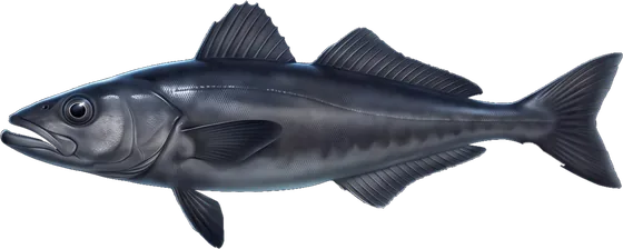
Fishing here runs on reef and offshore water. Rockfish, lingcod, cabezon and greenling hold on the reefs. Chinook and coho, Pacific halibut, and albacore come in when seasons and water allow, and Dungeness crab rounds out the year. The wider picture is in our Pacific Northwest fishing guide. Depth limits, halibut subareas and salmon openings change, so check the ODFW Marine Zone regulations before every trip.
Access and navigation at Port Orford
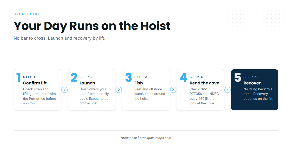
Port Orford has one launch and recovery point:
- Port of Port Orford – Hoist launch and recovery from the dolly dock, lifts boats up to 25,000 pounds, no ocean bar to cross.
Because boats are lifted rather than trailered, you cannot idle back in and load up when you please. Plan your return around the lift and the people running it, and expect to be off the boat while it happens. Lifting restrictions apply when occupants remain aboard, so confirm the current procedure, including strap requirements, with the Port office before you tow. If you are unsure whether conditions suit your boat, call the Port office.
How the water tends to behave
The cove is protected from summer northwesterlies but open to winter southerlies. South swell can run straight into the cove and make the lift and the approach to the dock harder. Sand has also shoaled into parts of the channel and harbor, so depths near the dock might differ from what an older chart shows.
A rocky 1¾-fathom shoal lies about 0.2 mile east of the south end of the breakwater, according to the Coast Pilot harbor notes. Give it room.
For boats heading north, northwest wind and sea tend to stiffen toward Cape Blanco, so a run that starts in the lee can look different 6 miles up. Whether to run inside or outside Orford Reef depends on the swell and wind that day, and the call is yours to make on the water.
Arrival check
Look at the cove from the dock first. Then read the NWS PZZ356 marine forecast, which covers Cape Blanco to Pt. St. George out 10 nm. The zone starts at Cape Blanco, just north of the port. Check NDBC buoy 46015 as well; it is moored 15 NM west of Port Orford.
The buoy sits offshore, not in the cove, and a forecast is only a forecast. Compare wind, wave height and period with what you see at the dock. If it looks bigger than you want, switch approaches or wait.
Fishing conditions
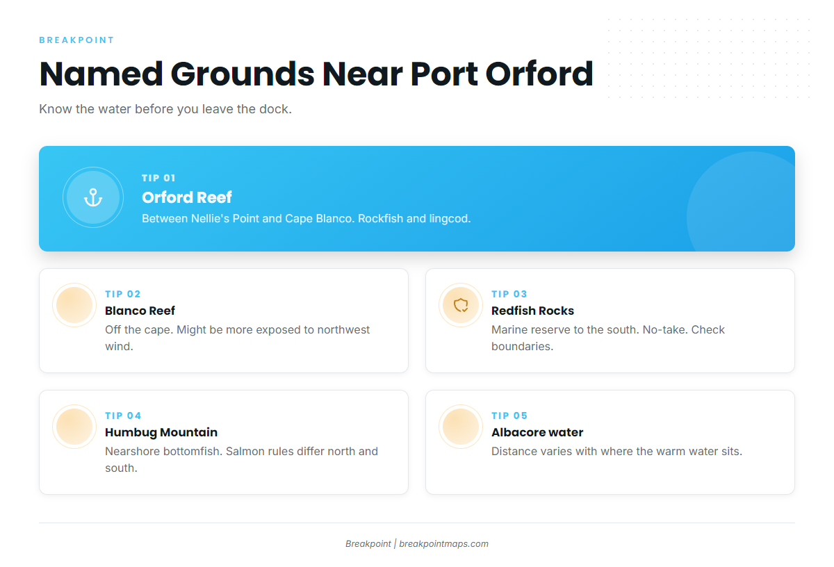
The grounds, in rough order from north to south:
- Orford Reef – Sits between Nellie’s Point and Cape Blanco. Rockfish and lingcod hold here, and the lingcod fishing guide covers the species.
- Blanco Reef – Lies off the cape. It might be more exposed to northwest wind.
- Redfish Rocks Marine Reserve – Lies to the south and is no-take. Check the boundaries with ODFW’s Oregon Marine Reserves program before you fish nearby.
- Humbug Mountain shoreline – Nearshore bottomfish water. Humbug Mountain is also the ocean salmon boundary, and rules differ north and south of it. Check ODFW for the current openings on each side.
- Offshore albacore water – Distance varies with where the warm water sits.
Bottomfish depth limits and the descending device requirement for released rockfish also apply. ODFW has the current figures.
Winter
Winter fishing for bottomfish and Dungeness crab happens in short windows between southerly systems. The cove’s south exposure matters here, and the lift and the return tend to set the window more than the fishing does. Check ODFW for crab rules.
Spring
Lingcod and rockfish on Orford Reef lead the spring bite. Halibut and Chinook come into play as openings allow. Port Orford falls in ODFW’s Southern Oregon Subarea for halibut, and more detail is in our Pacific halibut fishing guide.
Summer
The northwest pattern tends to put the cove in its lee. Mornings might give the longer window before the wind builds. Salmon seasons follow ODFW openings. Albacore come in when warm, clean water moves within reach of the port.
To see where that edge sits, the OBS SST and Chlorophyll layers in Breakpoint show warm, clean water relative to the port, and Chart Contours show the depth edges around Orford Reef. Chart layers are not for navigation. Download Breakpoint from the App Store or Google Play and look at the water the night before.
Autumn
Coho and Chinook seasons follow ODFW openings, and the rules differ at Humbug Mountain. Albacore can run into early autumn if the warm water holds, and crab fills in. As the weather shifts back toward the south, the cove’s exposure returns, and the hoist sets the pace again.
Other Oregon ports: Bandon, Gold Beach, and the full Oregon list.