
About Port O’Connor
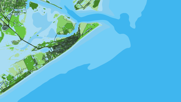
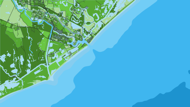
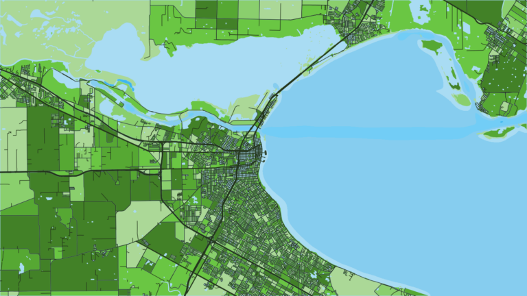
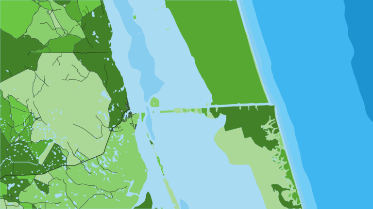
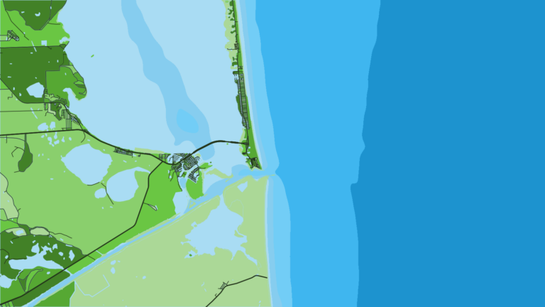
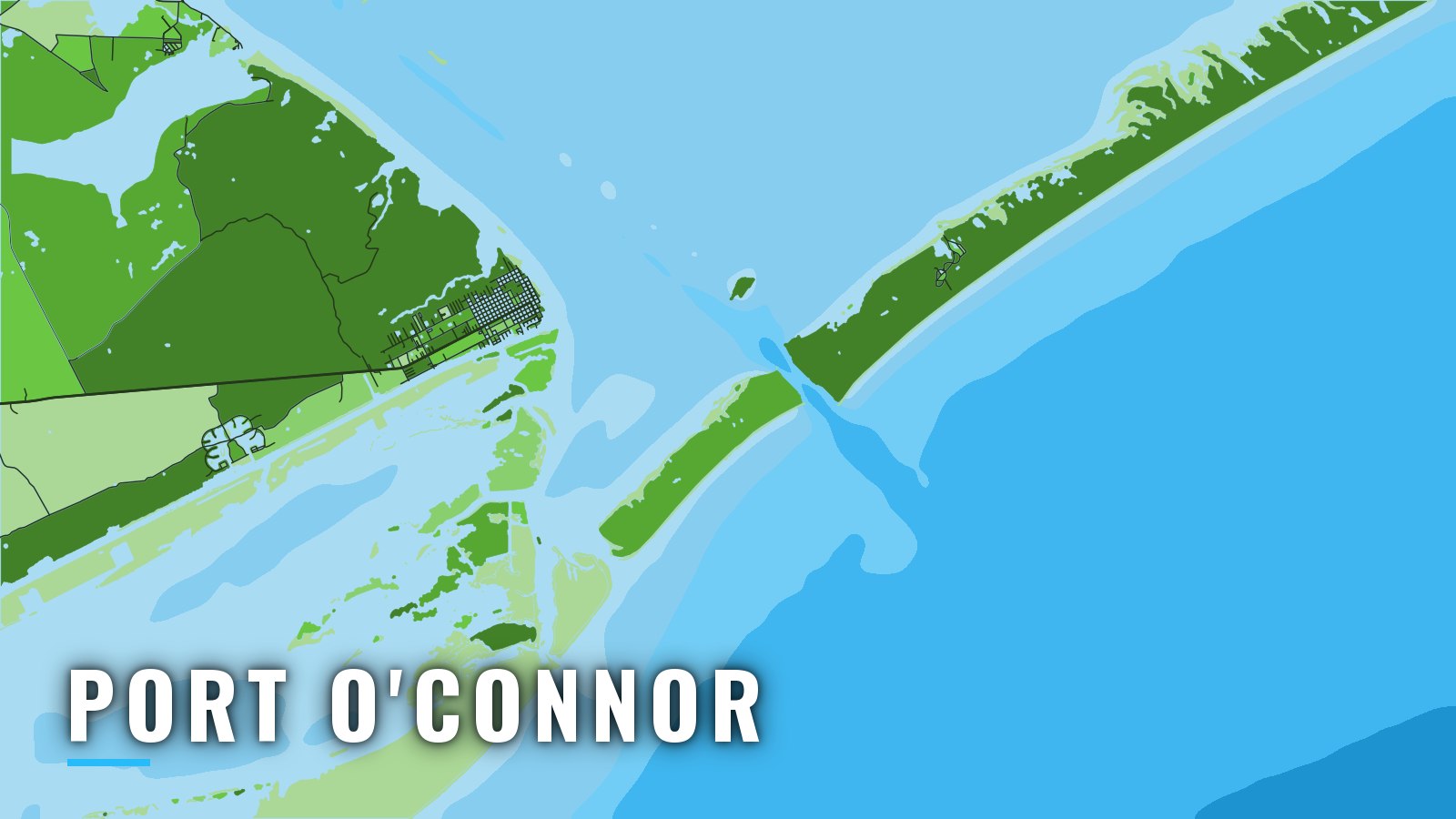
Port O’Connor sits on the southwest shore of Matagorda Bay. Every offshore trip starts with a bay crossing to the Matagorda Ship Channel jetties or the shoal water of Pass Cavallo, and from there trips run from bay and jetty water to nearshore reefs and offshore runs.
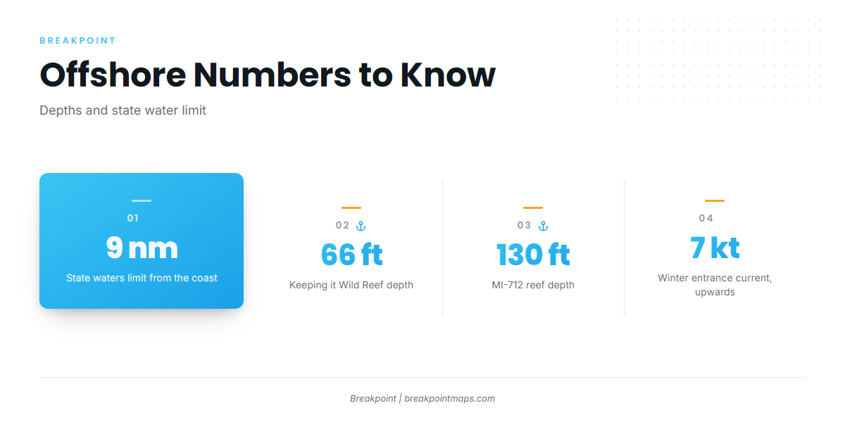
The Gulf of Mexico here gives up red snapper on the reefs, king mackerel and cobia around structure, and mahi-mahi, tunas and billfish when blue water pushes close. The fishing runs year-round, with access shaped by winter fronts and a persistent southeasterly flow through the warm months. Texas state waters run to 9 nautical miles and federal waters start beyond them. Rules differ across that line, and federal red snapper timing is set by TPWD under its agreement with NOAA Fisheries. Check the Texas regulations and TPWD red snapper rules before you fish.
Access and navigation
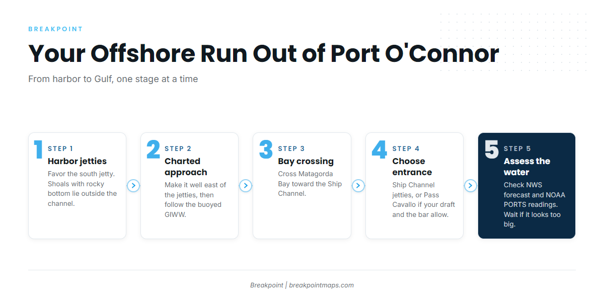
Offshore runs start from the harbor at the edge of town and cross Matagorda Bay to one of two approaches to the Gulf.
Ramps and marinas
- The Fishing Center – ramps, fuel, live bait, ice, wet slips, fish-cleaning station.
Harbor jetties to the GIWW
The channel through the Port O’Connor harbor jetties favors the south jetty. The full width between the jetties is not dredged, and shoal areas with rocky bottom lie outside the channel. The charted approach is made well east of the jetties, then through the buoyed Gulf Intracoastal Waterway. From there you cross Matagorda Bay to the Ship Channel.
Matagorda Ship Channel entrance
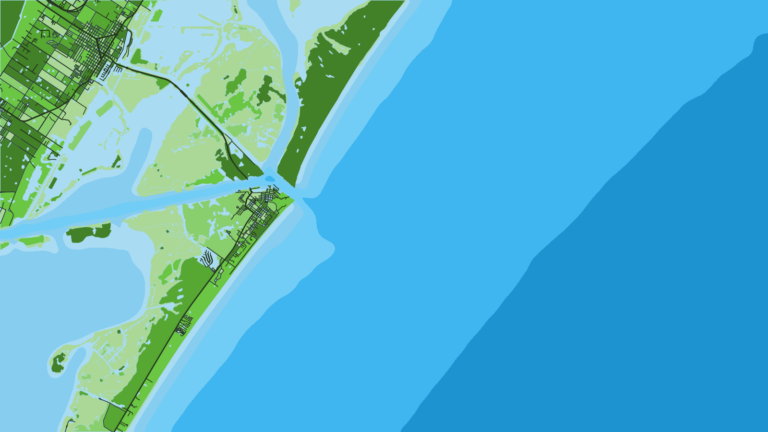
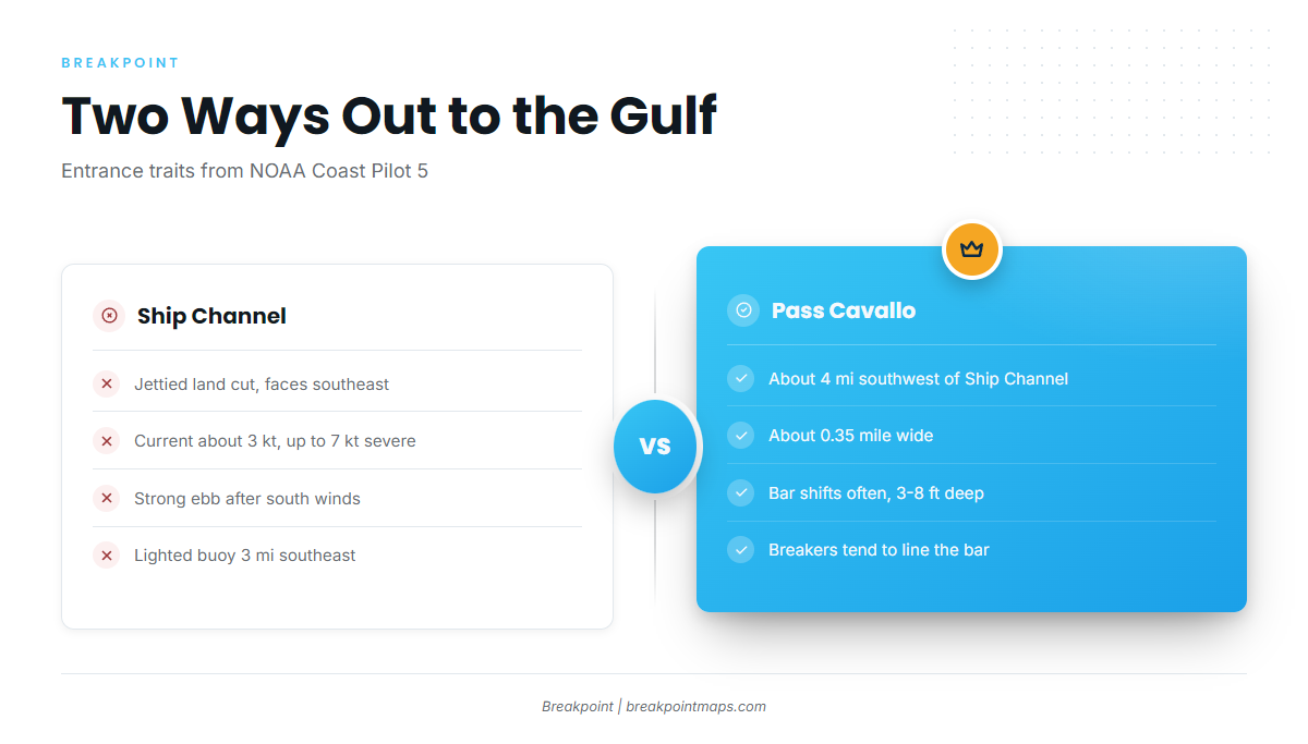
The entrance faces southeast. It is a jettied land cut through Matagorda Peninsula, leading to the Sea Bar Channel, and the entrance lighted buoy sits 3 miles southeast of the jetties.
NOAA Coast Pilot 5 gives current of about 3 knots, reaching 7 knots under severe conditions. The Matagorda Bay Pilots describe over 4 knots in normal lunar phases and upwards of 7 knots in winter. Current can run very strong in the land cut, especially on the ebb runoff after strong south winds, and small craft are cautioned against anchoring in the bay near the land cut because of strong current and turbulent water.
When an ebb runs out against an onshore wind, the sea tends to stand up and its period shortens at the cut. The jetty mouth can then look very different from open water 3 miles out at the buoy.
Pass Cavallo, the alternative
Pass Cavallo lies about 4 miles southwest of the Ship Channel entrance. It is about 0.35 mile wide, and the bar changes location and depth often, with depths of 3 to 8 feet. When a sea or swell is running outside, breakers tend to form a nearly continuous line across the bar. Current is swift, and the pass is used by a few local boats that draw under 5 feet. Because the bar moves, charted depths might not match the water on the day.
Arrive and assess
Look at the water when you get there, and check the NWS marine forecast for Matagorda Bay and the nearby Gulf waters. Live water level, wind and current are available from NOAA PORTS Matagorda Bay readings, which include stations at Port O’Connor and Matagorda Entrance. The stations report current conditions and do not forecast.
If the Ship Channel mouth looks bigger than you want, you can take the other approach if your draft and the bar allow it, or let the tide turn before you commit.
Fishing conditions
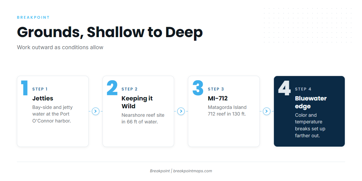
The grounds run from shallow to deep, and state-sponsored artificial reefs follow the same rules as other offshore locations:
- Port O’Connor jetties – bay-side and jetty water.
- Keeping it Wild Reef – a nearshore reef site in 66 feet.
- Matagorda Island 712 (MI-712) – a reef in 130 feet.
- The bluewater edge – farther out, where color and temperature breaks set up.
Our OBS SST and Chlorophyll layers show where the temperature and color breaks sit beyond the reefs. Chart layers are not for navigation.
Winter
Red snapper can be fished in state waters, inside 9 nautical miles, and rules inside and outside that line differ. Fronts drive access, and weather windows between them tend to be short. The Ship Channel current runs upwards of 7 knots in winter.
Spring
Spring is the transition from winter fronts toward the warm-month southeasterly flow. King mackerel and cobia can show around the reefs and structure.
Summer
Red snapper is the summer offshore target, and federal-water timing comes from TPWD. Further out, mahi-mahi tends to show along weed lines when blue water pushes in, and you can read up on how to work a weed line. Blue marlin and sailfish can come within reach of the bluewater edge. The southeasterly flow tends to build the sea on the run home into the entrance.
Autumn
Amberjack is the autumn offshore species. The federal recreational season is set by NOAA Fisheries and is shorter than the year. Billfish can hold on the edge while the water stays warm. For the blue marlin side, start with the general guide, and see rigging and tackle for sailfish for gear detail.