Bigeye season out of Belmar
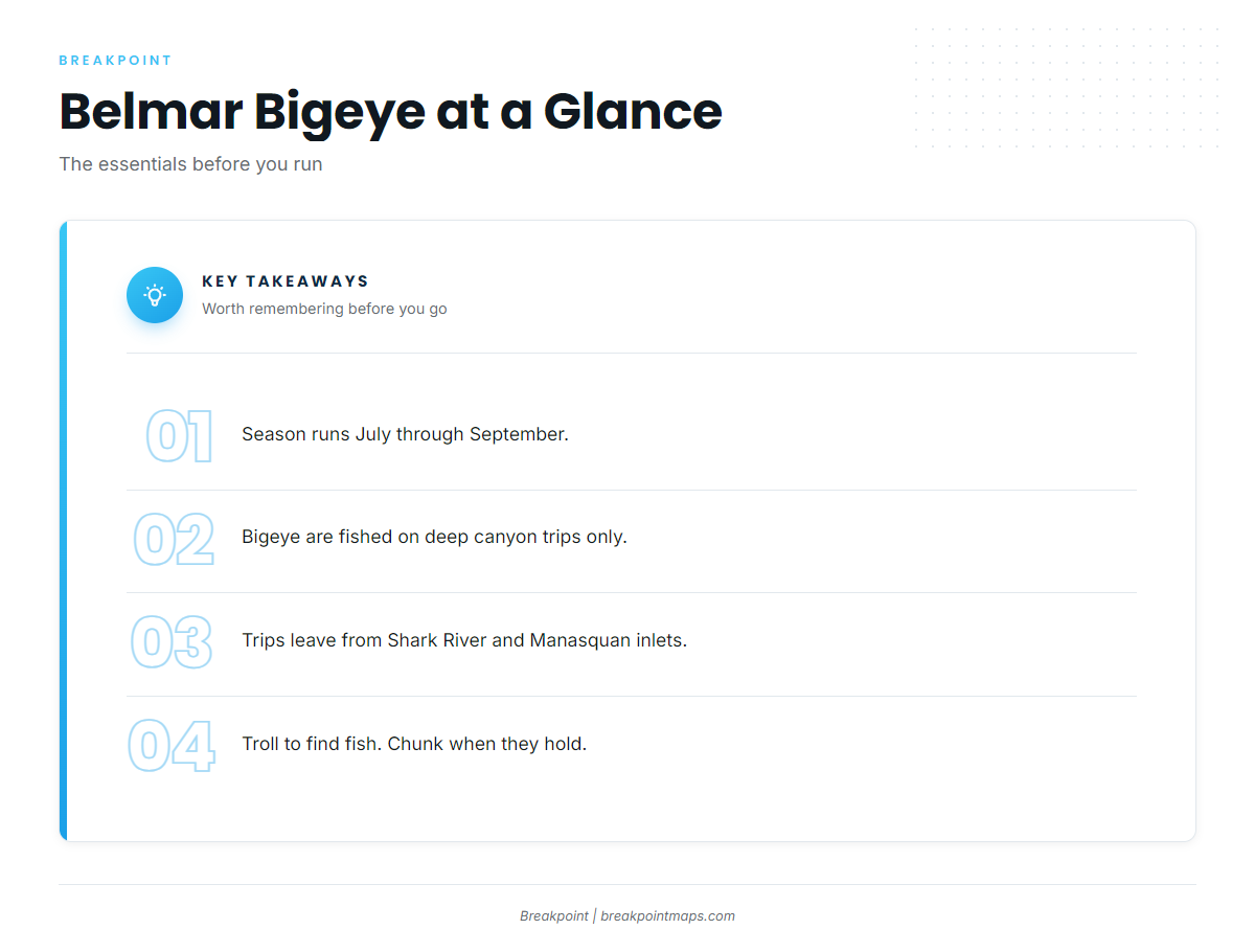
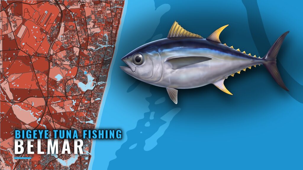
Bigeye tuna fishing out of Belmar runs July through September on deep canyon trips. Bigeye aren’t an inshore fish here, so the boats that target them make canyon runs rather than reef or wreck trips.
Boats leave from the port of Belmar through Shark River Inlet, and from the Manasquan Inlet area a few miles south. For the species itself, see our bigeye tuna guide. This page covers the port: where the run goes, what you cross on the way, and how the local fleet fishes.
Where Belmar boats run for bigeye
Canyon trips for bigeye leave from two inlets, Shark River Inlet and the Manasquan Inlet area, and run to Hudson Canyon and other canyons. Before committing to the run, check wind, wave height and period against the official NWS marine forecast and decide from the numbers.
| Departure | Destination | Source |
|---|---|---|
| Shark River Inlet | Hudson Canyon and other canyons | Fin-ominal canyon trips |
| Manasquan Inlet area | Deep canyon trips | Local deep canyon trips |
Shark River Inlet
Shark River Inlet is Belmar’s own inlet. Fin-ominal runs canyon trips from here to Hudson Canyon and other canyons, and it is the shortest path from the dock to the offshore run for a Belmar-based boat.
Manasquan Inlet area
Deep canyon trips also run from the Manasquan Inlet area. The NOAA Coast Pilot inlet chapter is the official reference for the approach and the jetties, and worth reading before you run the inlet.
Hudson Canyon and the other canyons
Hudson Canyon is the named canyon destination for Belmar boats. The other canyons on the same run sit beyond the shelf with it. For the wider picture of canyon bigeye along this coast, see bigeye tuna in the Atlantic Northeast (see also the Atlantic Northeast fishing guide). Plan the canyon run around the forecast numbers rather than the calendar.
Named structure on the way offshore
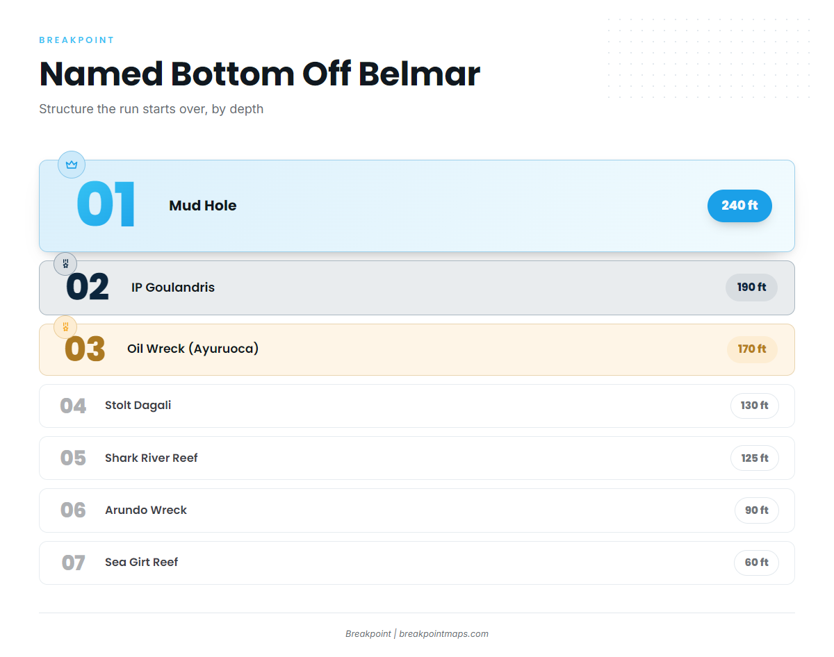
The run offshore from Belmar crosses named bottom that steps from 60 ft at Sea Girt Reef to 240 ft in the Mud Hole. The run starts over this structure, and bigeye are fished on the deep canyon trips beyond it.
| Name | Depth | Position |
|---|---|---|
| Sea Girt Reef | 60 to 75 ft | 3.6 nautical miles off Sea Girt, atop the Klondike ridge |
| Klondike | Underwater ridge under Sea Girt Reef | |
| Arundo Wreck | 90 ft | Eastern end of the Mud Hole, lies in 90 to 150 ft |
| Shark River Reef | 125 ft | 15.6 nautical miles off Manasquan |
| Stolt Dagali | 130 ft | Near Shark River Reef, close to the Mud Hole edge |
| Oil Wreck (Ayuruoca) | 170 ft | In the Mud Hole area |
| IP Goulandris | 190 ft | Midway through the Mud Hole |
| Mud Hole | 240 ft |
Sea Girt Reef and the Klondike
Sea Girt Reef lies in 60 to 75 ft, 3.6 nm off Sea Girt. It sits atop the Klondike, an underwater ridge.
Shark River Reef and the Stolt Dagali
Shark River Reef is in 125 ft, 15.6 nm off Manasquan. The Stolt Dagali wreck lies at 130 ft near the reef, close to the Mud Hole edge.
The Mud Hole and its wrecks
The Mud Hole reaches 240 ft. Three wrecks sit in or along it, listed here by depth:
- Arundo Wreck: 90 ft, at the eastern end, lying in 90 to 150 ft
- Oil Wreck (Ayuruoca): 170 ft, in the Mud Hole area
- IP Goulandris: 190 ft, midway through, lying in 190 ft
Chart Contours in the app shows the Mud Hole edge and the reef sites. Chart layers are not for navigation.
How bigeye are fished here
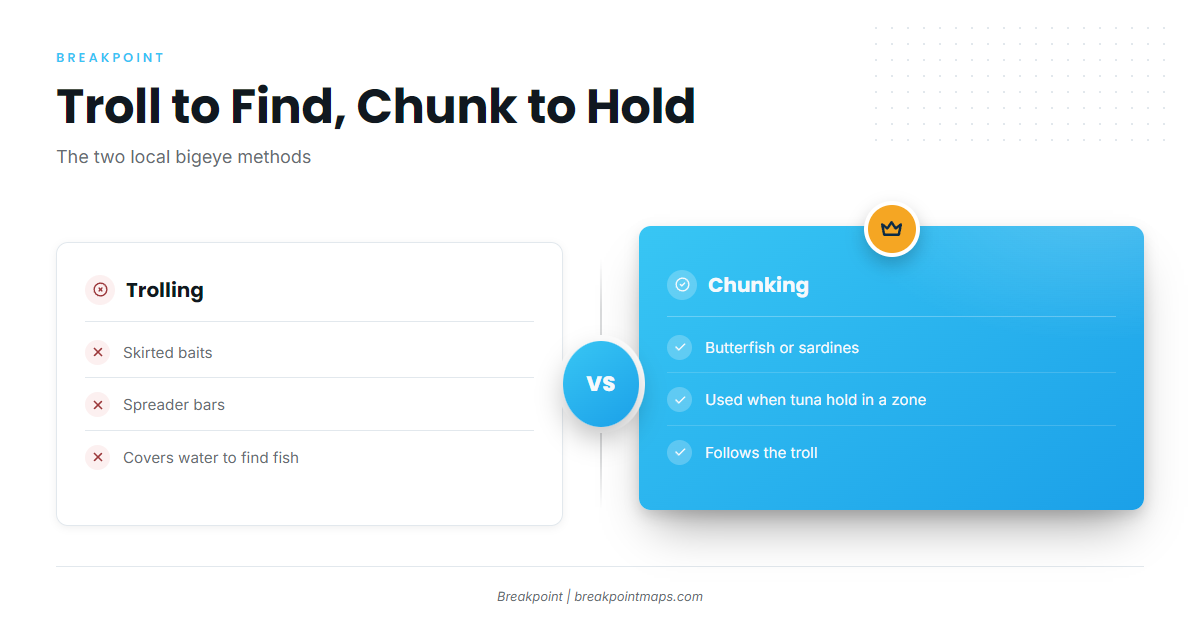
The local fleet uses two methods for bigeye: troll to find fish, then chunk when they hold in a zone. For wider technique, see our tuna fishing guides.
- Troll first: cover water with a spread to locate fish
- Chunk second: switch when tuna are holding in one zone
Trolling spreads
The local spread uses skirted baits and spreader bars. Trolling covers water, so it serves as the search tool. Run it until fish show, then decide whether to stay on them.
Chunking
Chunking uses butterfish or sardines. It is the method for when tuna are holding in a zone: stop covering water and fish the spot.
Who runs bigeye trips from Belmar
Two local charters list bigeye tuna among their trips. If you are weighing a first canyon run, a bigeye tuna charter is one way to see the grounds before you run your own boat.
Fin-ominal Charters
Capt. Jared runs a 55 foot Custom Carman and a 101 foot Custom Sport Yacht. Canyon trips run from Shark River Inlet to Hudson Canyon and other canyons. See the Fin-ominal Charters offshore trips page.
Way Overboard Sport Fishing
Way Overboard runs a USCG-certified offshore vessel and lists bigeye on its deep canyon trips from July through September. See the Way Overboard tuna trips page.
FAQ: bigeye tuna fishing out of Belmar
When is bigeye season out of Belmar?
July through September, on deep canyon trips.
Which inlet do canyon trips leave from?
Deep canyon trips run from the Manasquan Inlet area. Fin-ominal runs from Shark River Inlet to Hudson Canyon and other canyons.
What is the Mud Hole and how deep is it?
The Mud Hole is named bottom off Belmar that reaches 240 ft. The Arundo, Oil Wreck (Ayuruoca) and IP Goulandris wrecks lie in it.
Troll or chunk?
Troll skirted baits and spreader bars to find fish. Chunk butterfish or sardines when tuna hold in a zone.
Which charters list bigeye?
- Fin-ominal Charters: Capt. Jared, with a 55 foot Custom Carman and a 101 foot Custom Sport Yacht
- Way Overboard Sport Fishing: a USCG-certified offshore vessel
How deep is Shark River Reef?
125 ft, 15.6 nautical miles off Manasquan.