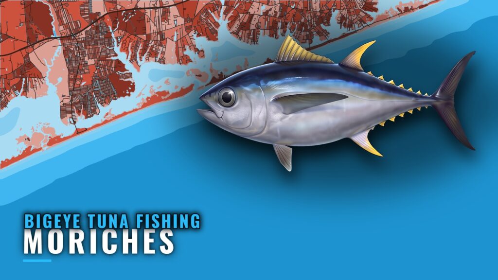
When bigeye are off Moriches
Bigeye tuna fishing out of Moriches runs July and August. For the inlet, ramps and bay, see the Moriches port page. For how this run fits the broader Long Island fishery, see the wider Northeast picture (see also the Atlantic Northeast fishing guide).
The run from Moriches Inlet
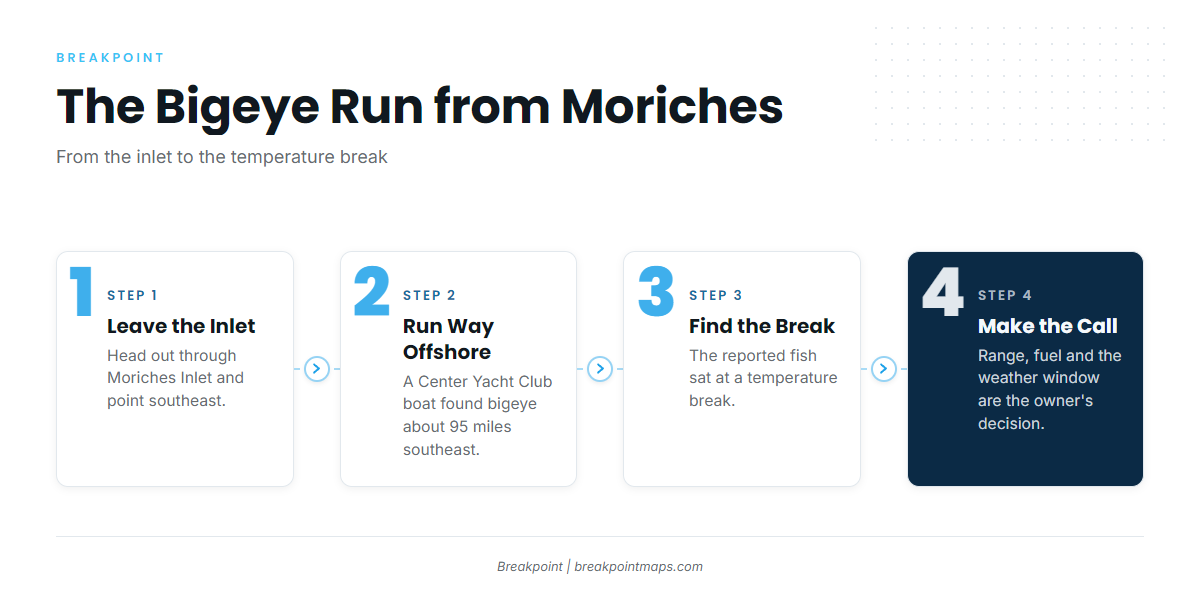
Every bigeye trip from this port is a long offshore run, and the report below gives the distance and the target.
How far and which way
A Center Yacht Club boat reported finding bigeye about 95 miles southeast of Moriches at a temperature break. That is a long run from Moriches Inlet. Range, fuel and the weather window are the owner-operator’s call. Check the official NWS marine forecast and plan from the numbers it gives.
| Detail | Reported |
|---|---|
| Direction | Southeast of Moriches |
| Distance | About 95 miles |
| Target | Temperature break |
| Source of report | Center Yacht Club boat |
Fishing the temperature break
The reported fish sat at a temperature break, so the break is where to look. It marks a place worth checking and does not guarantee fish. The OBS SST layer in Breakpoint shows where temperature breaks sit before you commit to a 95-mile run. Chart layers are not for navigation.
Grounds and structure near the port
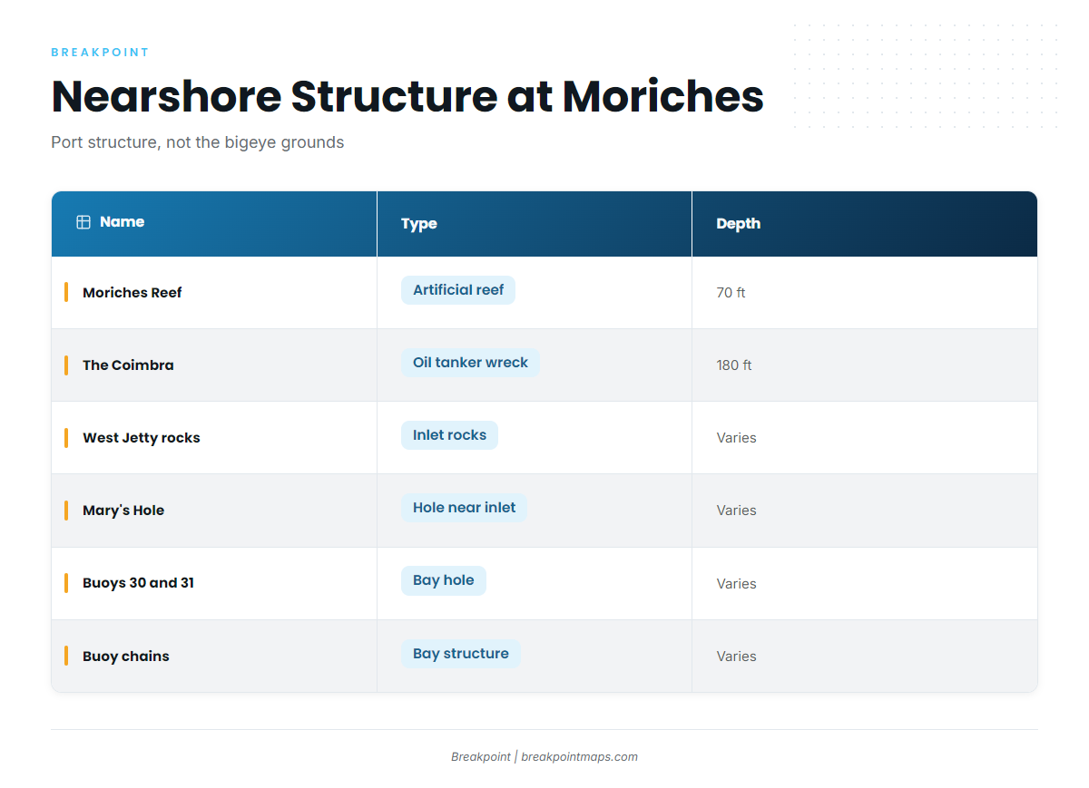
These are the port’s nearshore and bay spots, which you pass on the way out or fish closer in. Bigeye are found far offshore, not at any of them.
| Name | Type | Depth | Location |
|---|---|---|---|
| Moriches Reef | Artificial reef of barges, tugs, trawlers and tanks | 70 ft | About 2.4 nautical miles south-southwest of Moriches Inlet |
| The Coimbra | Oil tanker wreck | 180 ft | |
| West Jetty rocks | Inlet rocks | Moriches Inlet, West Jetty | |
| Mary’s Hole | Hole | Near the inlet | |
| Hole near buoys 30 and 31 | Bay hole | East in Moriches Bay, off the Remsenburg shoreline | |
| Buoy chains | Bay structure | Throughout Moriches Bay |
Moriches Reef
An artificial reef of barges, tugs, trawlers and tanks in 70 ft, about 2.4 nautical miles south-southwest of Moriches Inlet.
The Coimbra
An oil tanker wreck in 180 ft.
West Jetty rocks
Rock structure at the West Jetty of Moriches Inlet.
Mary’s Hole
A hole near the inlet.
The hole near buoys 30 and 31
A hole east in Moriches Bay, between buoys 30 and 31, off the Remsenburg shoreline.
Buoy chains in Moriches Bay
Buoy chains run throughout the bay. They hold triggerfish in August.
How bigeye are fished from Moriches and who fishes them
The known local pattern is to run far offshore and fish a temperature break. For tactics and gear, see the bigeye tuna fishing guide.
The fleet is owner-operators running their own boats, plus Center Yacht Club boats out of Center Moriches. If you are weighing other species from this port, see other tuna species from this port.
Who you will see on the water:
- Owner-operators running their own boats from the bay
- Center Yacht Club boats out of Center Moriches
- Boats making the long southeast run to a temperature break
FAQ: bigeye tuna out of Moriches
When is bigeye tuna fishing out of Moriches?
July and August.
How far do Moriches boats run for bigeye?
Far offshore. A Center Yacht Club boat reported fish about 95 miles southeast at a temperature break.
Are bigeye on Moriches Reef or The Coimbra?
No. The bigeye reported from this port were far offshore, at a temperature break about 95 miles southeast. Moriches Reef and The Coimbra are nearshore structure.
Where are the rules for tuna from Moriches?
State waters run inside 3 miles and federal waters lie beyond. Tuna need a federal HMS permit. The Regulations section above points to the pages that carry the rules.
Who fishes for bigeye out of Moriches?
Owner-operators and Center Yacht Club boats from Center Moriches.