Black sea bass fishing out of Georgetown centers on nearshore artificial reefs and ledges off Winyah Bay, fished on the bottom. This guide covers the reef list, depths, and the nearest buoy. The wider picture is in the black sea bass fishing in the Atlantic Southeast and the Atlantic Southeast region guide.
When black sea bass are around off Georgetown
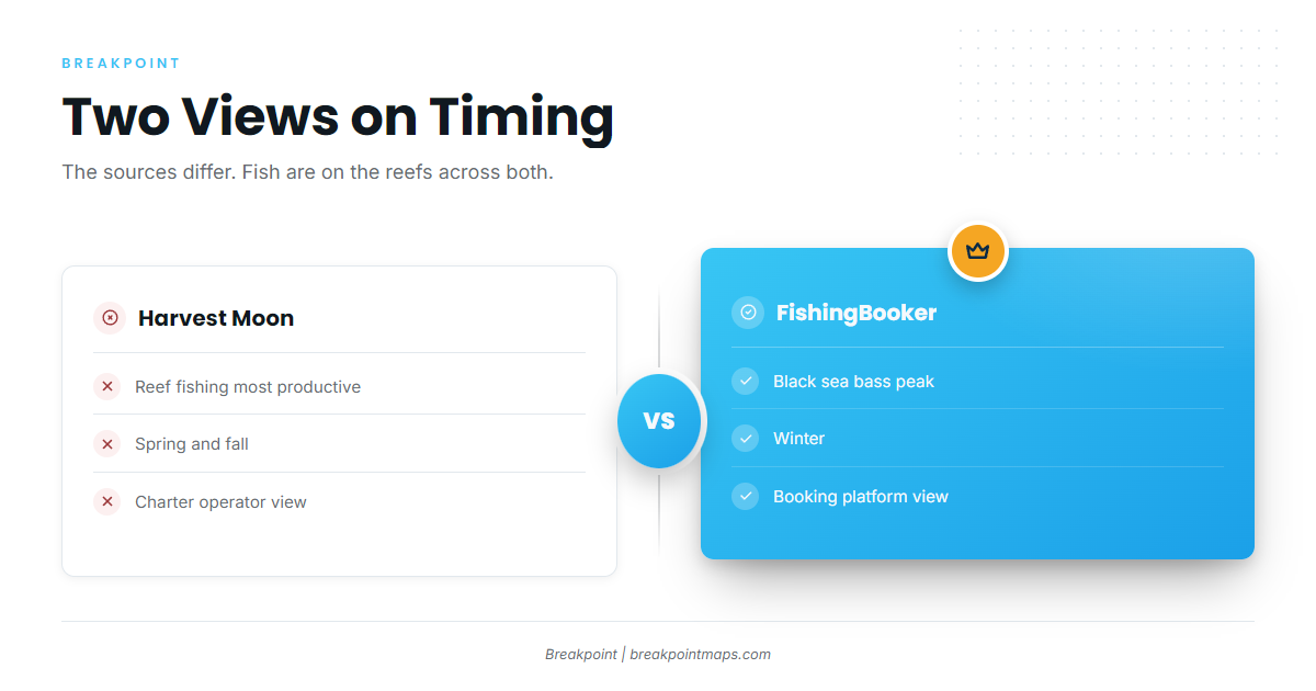
The two sources I found give different peaks, so plan around both. For the species’ biology and seasonality more broadly, see our black sea bass guide.
| Source | Timing it reports |
|---|---|
| Harvest Moon Fishing Charters | Reef fishing is most productive in spring and fall |
| FishingBooker | Black sea bass peak in winter |
Spring and fall on the reefs
Harvest Moon Fishing Charters reports that reef fishing is most productive in spring and fall. That applies to the reefs and ledges where Georgetown boats run.
The winter peak
FishingBooker’s Georgetown fishing overview puts the black sea bass peak in winter. Since the sources differ, expect fish on the reefs in all of these periods.
Where Georgetown boats run for black sea bass
Boats run to nearshore artificial reefs and to ledges. The named reefs below range from 12 ft to 110 ft, so it helps to choose a depth band first and then a reef.
Nearshore reefs and ledges
Local boats work two kinds of ground: nearshore artificial reefs and ledges.
Named reefs by depth
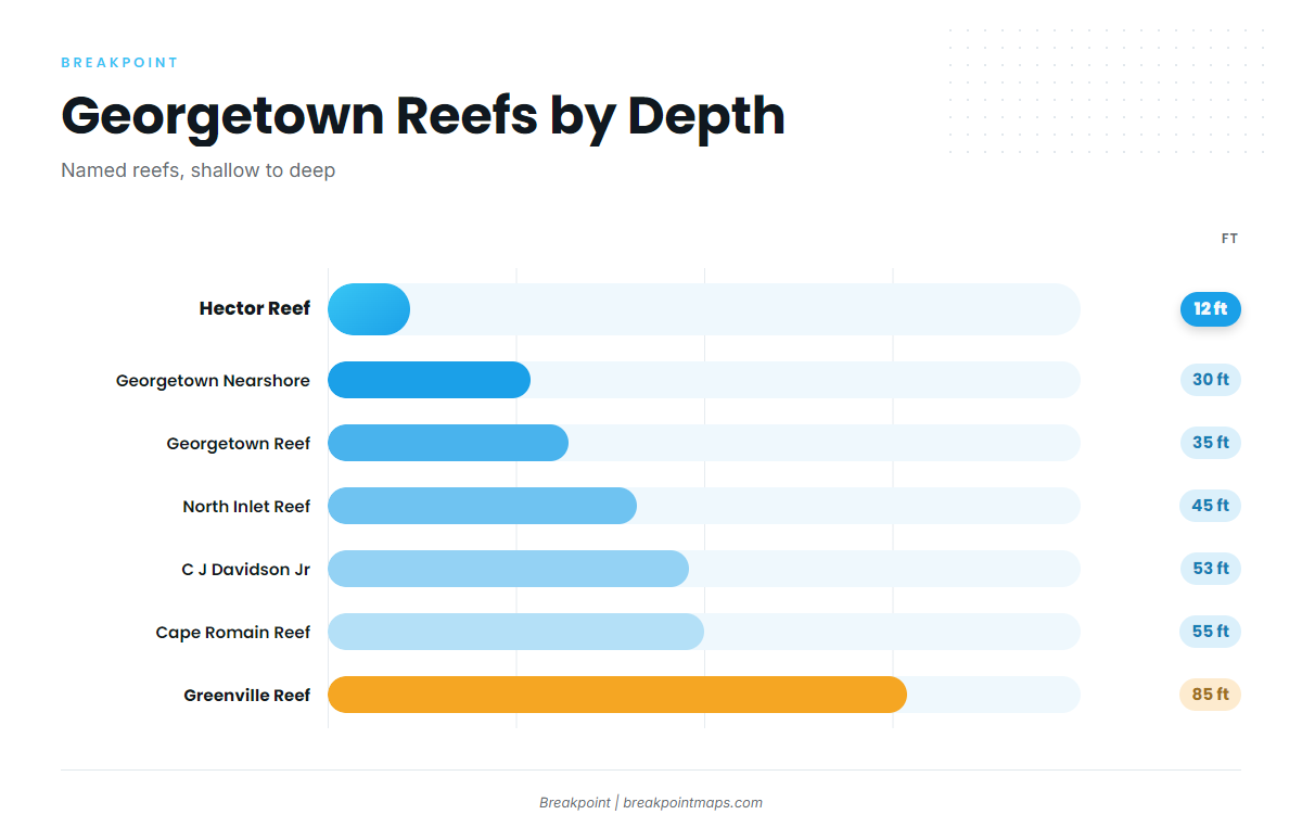
| Reef | Depth (ft) |
|---|---|
| Hector Reef | 12 |
| Georgetown Nearshore Reef | 30 |
| Georgetown Reef | 35 |
| North Inlet Reef | 45 |
| C J Davidson Jr Reef | 53 |
| Cape Romain Reef | 55 |
| Greenville Reef | 85 |
| Vermilion Reef | 110 |
Hector is the only reef at 12 ft. Six reefs fall between 30 and 55 ft, and Greenville (85 ft) and Vermilion (110 ft) make up the deep end.
The SCDNR artificial reef locations list is the official source for each site.
You can mark these reefs as waypoints in Breakpoint and view them over the Chart Contours layer. Chart layers are not for navigation.
C J Davidson Jr Reef from buoy 2WB
C J Davidson Jr Reef lies 6.5 nm from channel buoy 2WB on a bearing of 147 degrees, in 53 ft. The buoy is the only mark nearby.
Reading conditions at NIWS1
The nearest NOAA station is NOAA NDBC station NIWS1 at Oyster Landing, North Inlet-Winyah Bay Reserve (33.349 N, 79.189 W). Compare its wind, wave height, and period readings with the official National Weather Service marine forecast.
NIWS1 is an inshore reserve station rather than an offshore buoy, so its readings describe the inlet area and not conditions on an 85 ft or 110 ft reef.
How black sea bass are fished here
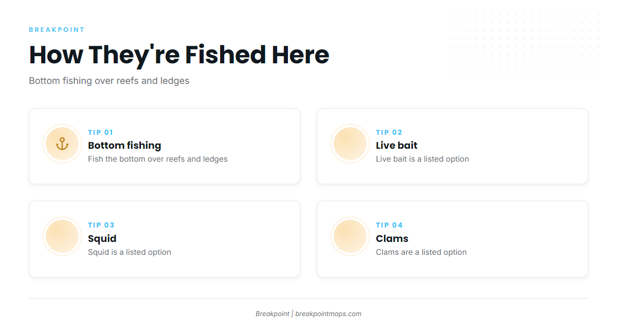
Locally, black sea bass are fished on the bottom, according to FishingBooker. For broader reef bottom-fishing technique, see our reef fish guides.
Bottom fishing
You fish the bottom over the reefs and ledges. This is the local method, and it is how the reef list above gets used.
Live bait, squid and clams
FishingBooker names live bait, squid, or clams as the baits for this water.
Who fishes for black sea bass out of Georgetown
Booking a charter is one way to watch these reefs being worked before you run them yourself.
Harvest Moon Fishing Charters
Harvest Moon Fishing Charters, run by Capt. R.C. Ferdon, lists black sea bass among its targets out of Georgetown.
FAQ about black sea bass fishing out of Georgetown
When is the best time for black sea bass off Georgetown?
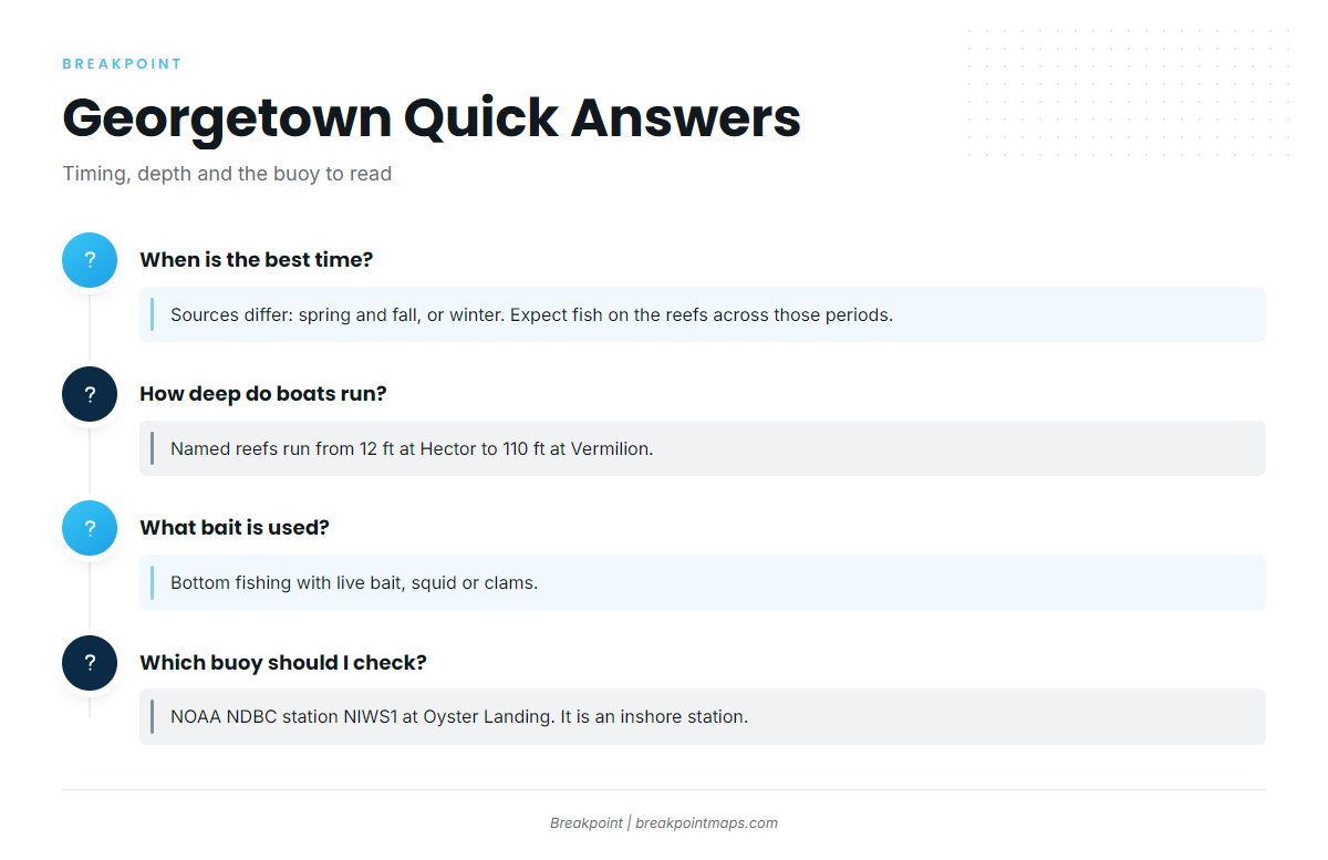
Harvest Moon reports spring and fall as most productive for reef fishing, and FishingBooker puts the black sea bass peak in winter. The sources differ, so expect fish on the reefs across those periods.
How deep and how far do boats run?
The named reefs run from 12 ft at Hector to 110 ft at Vermilion. C J Davidson Jr Reef sits 6.5 nm at 147 degrees from channel buoy 2WB, in 53 ft.
Which reefs are shallowest?
Hector Reef is 12 ft, Georgetown Nearshore Reef is 30 ft, and Georgetown Reef is 35 ft. Those are the three shallowest named grounds.
What bait works for black sea bass here?
FishingBooker lists bottom fishing with live bait, squid, or clams. Those are the baits named for local reef fishing.
Which buoy should I check before running out?
NOAA NDBC station NIWS1 at Oyster Landing, North Inlet-Winyah Bay Reserve. It is an inshore station, so read its wind, wave height, and period against the official marine forecast.