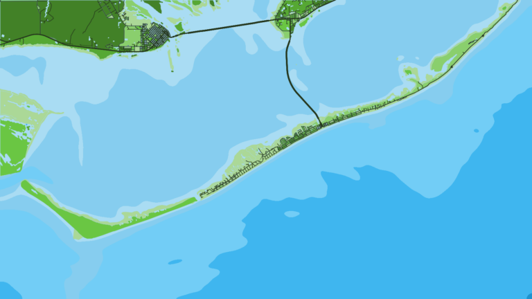
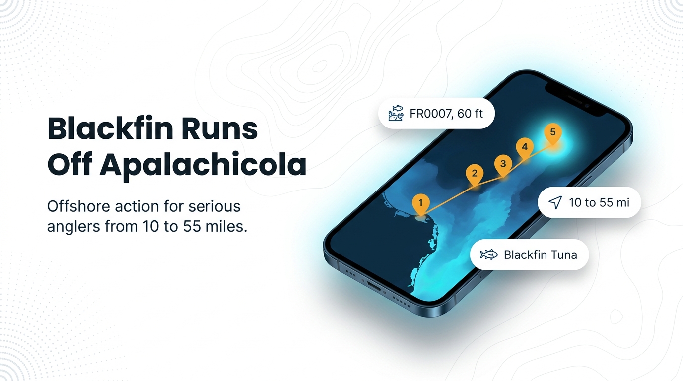
Blackfin tuna fishing out of Apalachicola means a run to federal waters 10 to 55 miles off St. George Island, trolling over named reefs and towers, per Bigfish SGI. This page covers the reef names, IDs and listed depths, the planning math for the run, and how to read NOAA station APCF1 before you leave. Port details for Apalachicola are on the port page, so this guide sticks to the offshore fishing.
When blackfin are off Apalachicola
No port-specific season was found for Apalachicola. General timing for blackfin in this part of the Gulf is covered in our blackfin tuna guide and the Gulf of Mexico blackfin guide (see also the wider Gulf of Mexico guide). This page covers where boats run and what structure they troll.
How far boats run
Boats run to federal waters 10 to 55 miles off St. George Island, per Bigfish SGI, and that range shapes most of the planning below.
Federal waters off St. George Island
The fishing sits in federal waters, beyond state waters. That is why the regulations section points to federal rules as well as state rules.
Planning a 10 to 55 mile run
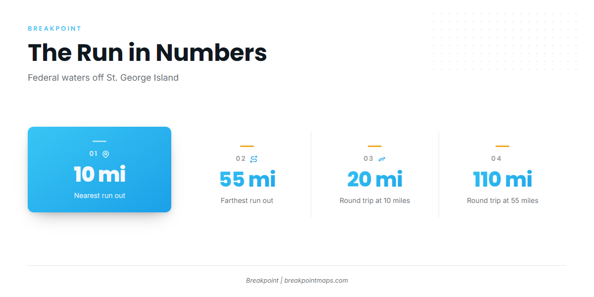
A 55 mile run is a 110 mile round trip before you troll a single mile, and a 10 mile run is 20 miles round trip. Plan the farthest waypoint first, work back from it, and base your fuel plan on the round-trip figure at the far end.
| Run out | Round trip |
|---|---|
| 10 miles | 20 miles |
| 55 miles | 110 miles |
Grounds and structure
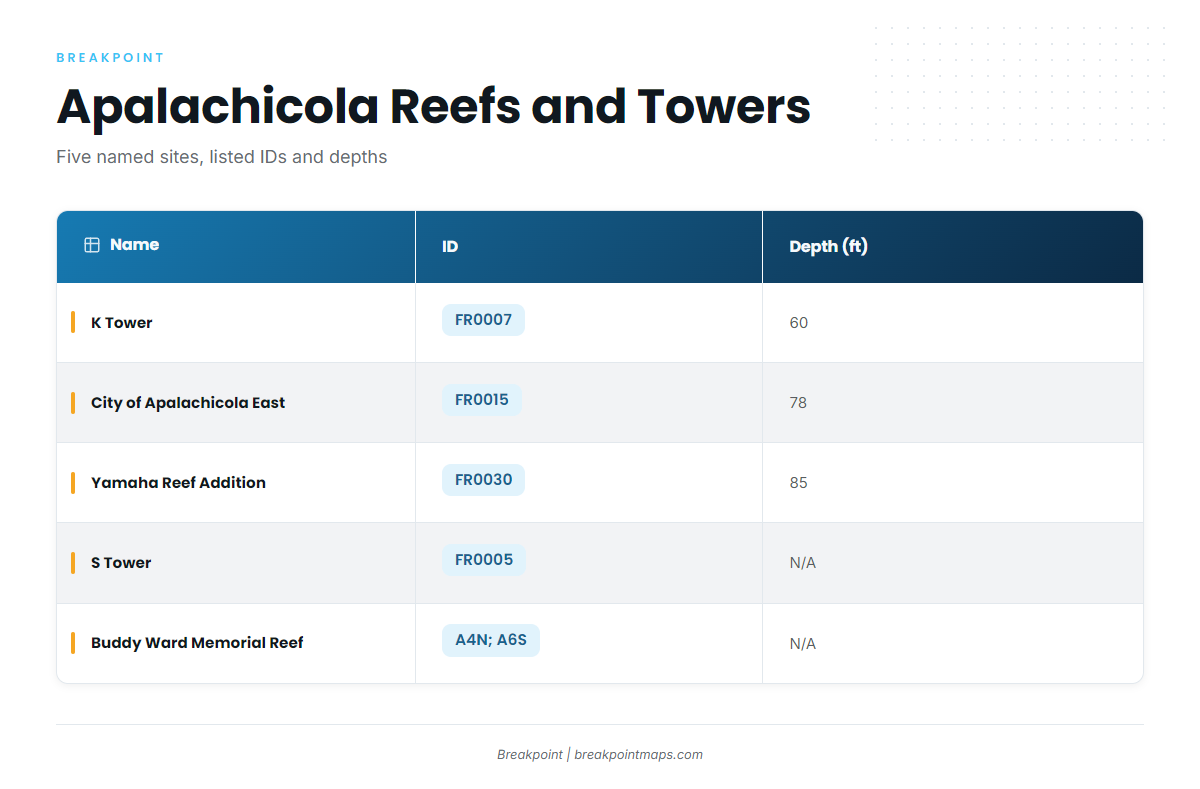
Five named sites near Apalachicola give you waypoints to work from. All are artificial reefs and towers in the Franklin County artificial reef sites program. The table lists them by listed depth, followed by the sites with no listed depth.
| Name | ID | Depth (ft) | Note |
|---|---|---|---|
| K Tower | FR0007 | 60 | Tower |
| City of Apalachicola East | FR0015 | 78 | Reef |
| Yamaha Reef Addition | FR0030 | 85 | Reef |
| S Tower | FR0005 | Listed in the AARA Franklin reef area | |
| Buddy Ward Memorial Reef | A4N; also A6S | Two designations |
You can lay these out against the Chart Contours layer in Breakpoint when planning. Chart layers are not for navigation.
K Tower
K Tower carries ID FR0007 and is listed at 60 ft, the shallowest listed site. The Franklin County reef and tower listings give you a second source to check against.
City of Apalachicola East
City of Apalachicola East is ID FR0015, listed at 78 ft.
Yamaha Reef Addition
Yamaha Reef Addition is ID FR0030, listed at 85 ft, the deepest of the listed depths.
S Tower
S Tower is ID FR0005, listed in the AARA Franklin reef area.
Buddy Ward Memorial Reef
Buddy Ward Memorial Reef is listed under A4N and also A6S. Save both designations as waypoints.
How blackfin are fished here
The local method is offshore trolling, per Bigfish SGI.
Offshore trolling
Boats troll over and around the named reefs and towers above. For spreads and rigging detail, see the trolling spreads and rigging across our tuna guides.
Who fishes for them: Bigfish SGI
Bigfish SGI lists blackfin tuna on an offshore trolling trip. Captain Clint Taylor is the owner and operator.
Reading conditions before the run
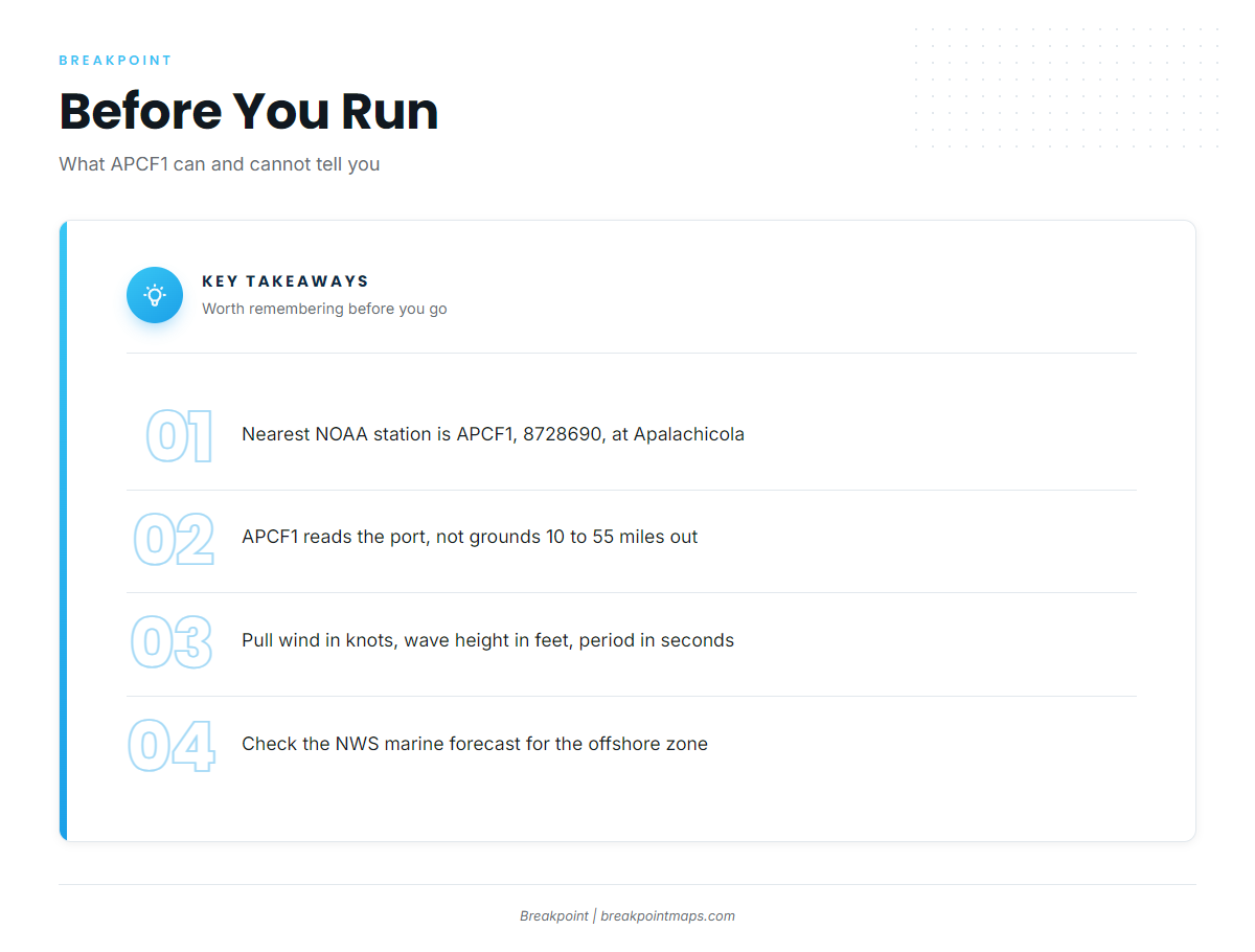
The nearest NOAA station is APCF1, station 8728690, at 29.724 N, 84.980 W, at Apalachicola. It reads conditions at the port, not at the grounds 10 to 55 miles out.
Pull these numbers before you go:
- Wind speed in knots
- Wave height in feet
- Wave period in seconds
Then check the official NWS marine forecast for the offshore zone before you run, and compare the forecast figures against your boat’s limits and your own judgment.
FAQ about blackfin tuna fishing out of Apalachicola
How far offshore are blackfin out of Apalachicola?
Boats run to federal waters 10 to 55 miles off St. George Island, per Bigfish SGI. At the far end, that is a 110 mile round trip before you troll any miles.
What structure holds blackfin near Apalachicola?
Boats troll five named Franklin County artificial reefs and towers: K Tower (FR0007), City of Apalachicola East (FR0015), Yamaha Reef Addition (FR0030), S Tower (FR0005) and Buddy Ward Memorial Reef (A4N; also A6S). Fish are never guaranteed at any of them.
How deep is K Tower?
K Tower, FR0007, is listed at 60 ft. City of Apalachicola East is listed at 78 ft and Yamaha Reef Addition at 85 ft.
Who runs blackfin charters from St. George Island?
Bigfish SGI lists blackfin tuna on an offshore trolling trip. Captain Clint Taylor is the owner and operator.
Where can I check conditions before the run?
Use NOAA station APCF1 (8728690) at Apalachicola for wind, wave height and wave period. It reads the port, not the grounds, so pair it with the NWS marine forecast for the offshore zone.
When is blackfin season here?
No port-specific season was found. General timing is covered in the blackfin tuna guide and the Gulf of Mexico blackfin guide.