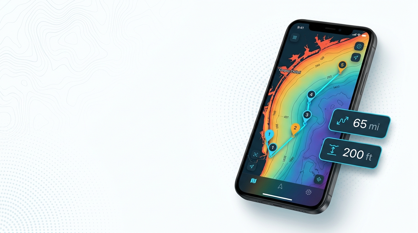
Blackfin tuna fishing out of Corpus Christi starts at the barrier-island reefs a few miles off the beach and runs to Ranzels Rock, about 65 miles southeast. Boats leave through Packery Channel or Aransas Pass at Port Aransas, and the Corpus Christi port guide covers launches and the wider port picture. This guide lists when the fish are around, how far boats run, and the named grounds in run order, with the depths and distances that are known. It is written for anglers running their own boat.
When blackfin tuna are off Corpus Christi
Corpus Christi reports put blackfin in the fall. Port Aransas boats extend that into winter, so the window runs a little longer one port up the coast.
Port Aransas places blackfin around the deeper rigs, which matches the wider Gulf pattern. Blackfin across the Gulf of Mexico (see also the wider Gulf of Mexico guide) covers that pattern in full.
- Fall: the season reported out of Corpus Christi.
- Winter: reported by Port Aransas boats, which fish the deeper rigs.
How far boats run
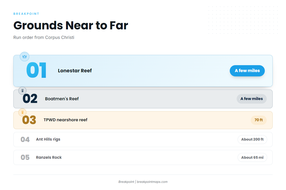
The grounds fall into four tiers, near to far:
- A few miles off the barrier islands: Lonestar Reef and Boatmen’s Reef.
- State waters between Packery Channel and Port Aransas: the 160-acre TPWD nearshore reef, in 70 ft.
- The deeper rigs: the Ant Hills rigs, fished in about 200 ft.
- About 65 miles southeast: Ranzels Rock.
29 Fathom Bank is a mid-shelf bank, and Mustang Island-775 is a backup spot.
| Ground | Depth | Distance from Corpus Christi |
|---|---|---|
| Lonestar Reef | not given | A few miles off the barrier islands |
| Boatmen’s Reef | not given | A few miles off the barrier islands |
| Corpus Christi Reef Site (TPWD nearshore reef) | 70 ft | Between Packery Channel and Port Aransas, state waters |
| Ant Hills rigs | About 200 ft | not given |
| 29 Fathom Bank | Mid-shelf | not given |
| Ranzels Rock | not given | About 65 miles southeast |
| Mustang Island-775 | not given | not given (backup) |
The grounds and structure that hold them
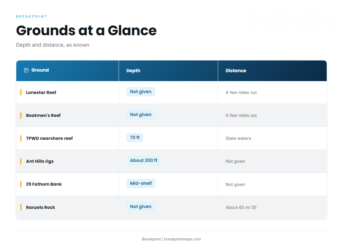
The grounds below follow run order, nearest first.
Lonestar and Boatmen’s reefs
Both reefs sit a few miles out from the barrier islands, the first step offshore from Packery Channel or Port Aransas. They share a distance tier, so which one you fish depends on which way you are already running.
Corpus Christi Reef Site (TPWD nearshore reef)
This 160-acre TPWD nearshore reef sits in 70 ft of state water, between Packery Channel and Port Aransas. TPWD’s interactive reef locator shows the site on a chart.
Ant Hills rigs
The Ant Hills area is a group of oil rigs fished in about 200 ft of water. It fits the deeper-rig pattern Port Aransas describes for blackfin in fall and winter.
Ranzels Rock
Ranzels Rock lies about 65 miles southeast of Corpus Christi and is the longest run on this list.
29 Fathom Bank
29 Fathom Bank is a mid-shelf bank, between the nearshore reefs and the far grounds.
Mustang Island-775 as a backup
Mustang Island-775 is a backup spot only.
How the port fishes them and who runs out
Own-boat anglers run out through Packery Channel and Aransas Pass at Port Aransas, where boats work the deeper rigs. Trolling, jigging and bait setups for the species are covered in our blackfin tuna fishing guide. If you would rather not run your own boat, you can hire a tuna fishing guide.
You can load the named grounds into Breakpoint with the Chart Contours layer to see depth around each one. Chart layers are not for navigation.
Conditions before the run
No working NOAA buoy is confirmed off Corpus. Check wind, wave height and period in the National Weather Service marine forecast before the run. Ranzels Rock, at about 65 miles, goes well past the nearshore grounds, so read the forecast for the whole run and not only the first few miles.
FAQ: blackfin tuna fishing out of Corpus Christi
When are blackfin around Corpus Christi?
Corpus Christi reports put them in the fall. Port Aransas boats fish them into the winter around the deeper rigs.
How far is Ranzels Rock from Corpus Christi?
It is about 65 miles southeast of Corpus Christi.
What is the closest structure to fish?
Lonestar and Boatmen’s reefs sit a few miles off the barrier islands. The 160-acre TPWD nearshore reef sits in 70 ft between Packery Channel and Port Aransas.
How deep are the Ant Hills rigs?
They are fished in about 200 ft of water.
Is there a buoy for conditions off Corpus?
No working NOAA buoy is confirmed off Corpus. Check wind, wave height and period in the NWS marine forecast before the run.
Is the TPWD reef in state or federal waters?
It is in state waters, inside the 9 nautical mile line that TPWD manages. Check TPWD rules before fishing.